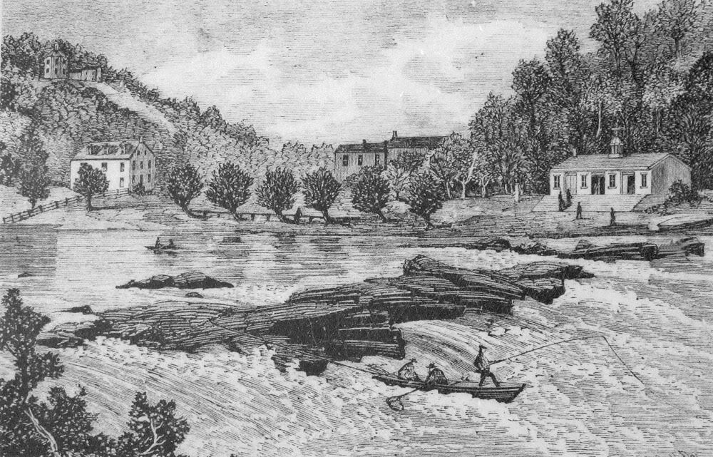
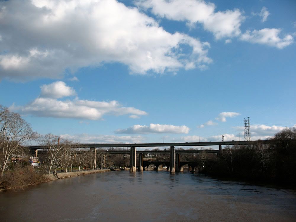
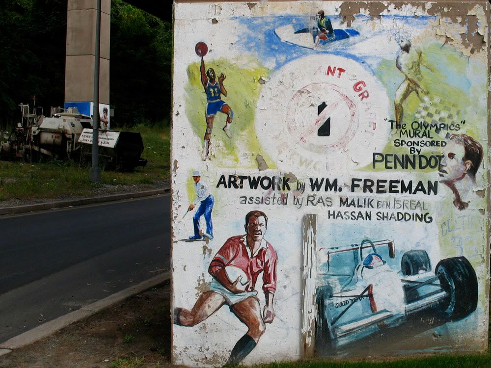
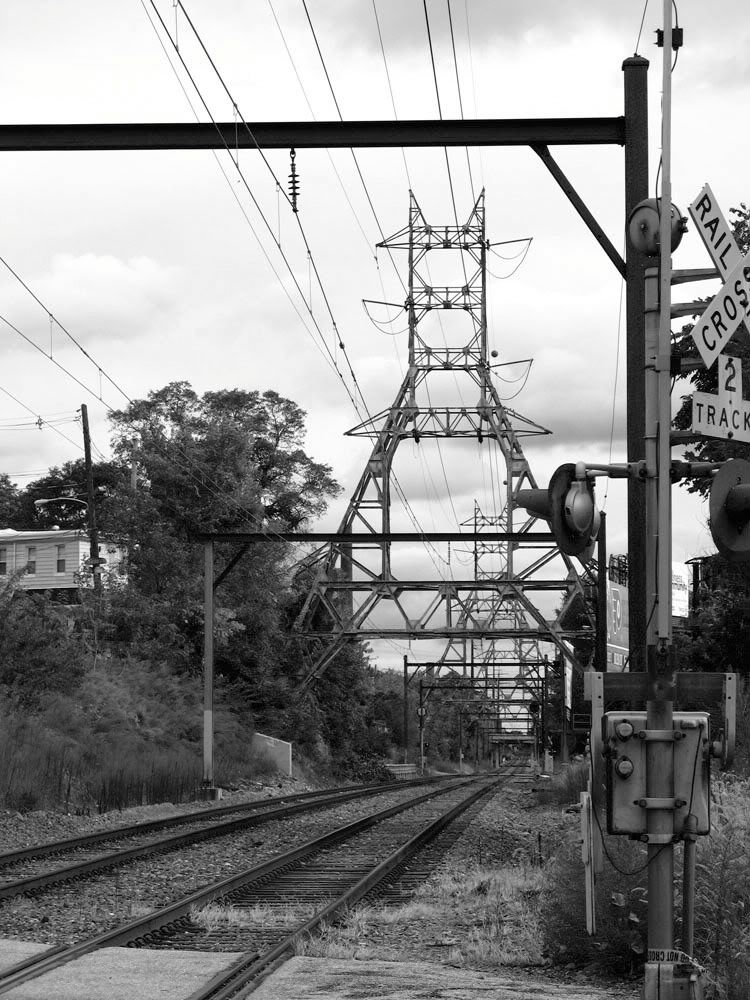
East Falls was originally known as Falls of the Schuylkill because of the many large boulders that lined the river near the neighborhood's present site. When the Fairmount Dam was built downstream in 1822, the famous rocks were permanently submerged but the name stuck. Well, sort of. The village of Falls of the Schuylkill would eventually become known as East Falls. Early in its history East Falls was a popular summer resort for those looking to beat the summer heat and maybe catch a rockfish, shad or perch. Catfish was also a popular catch and served with waffles. To this day a catfish adorns to the top of the weather vein of the Fall of the Schuylkill Branch of the Philadelphia Free Library. Fort St. Davids, originating in 1732, was a popular fishing lodge on the Schuylkill banks. It met a few hardships like fires and marauding Hessians and had to be rebuilt. In the following decades East Falls became more than just a resort village. Textile, chemical and brewing companies used the surging river's power as industry moved into East Falls. Soon a series of bridges crossing the Schuylkill River cropped up. A covered wooden bridge was swept away in a severe storm in 1878. It's replacement, the Falls Bridge, is still in place bearing the load of modern traffic.
Fort St. Davids and the rocks on the Schuylkill in 1794.
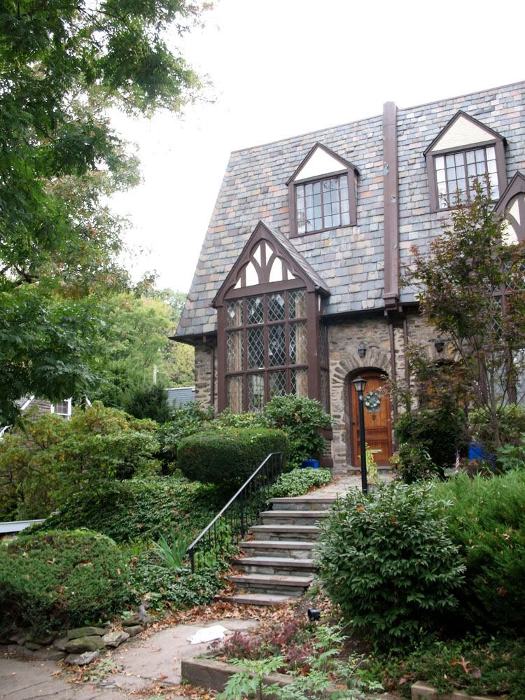
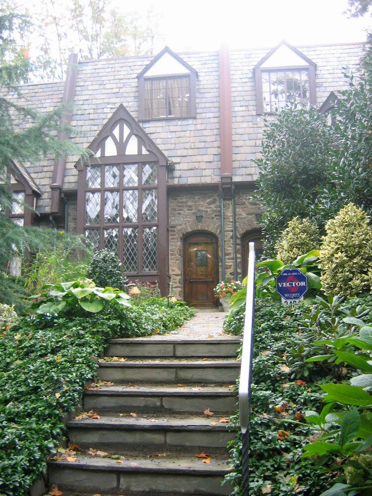
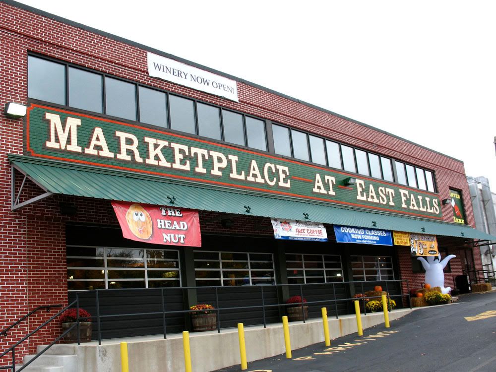
East Falls is bordered by Wissahickon Park, Germantown, Tioga/Nicetown, Allegheny West and the Schuylkill River to the south. Architecturally, geographically and demographically, East Falls is similar to Manayunk and southern Roxborough. Despite being located adjacent to the some of the city's rougher neighborhoods, East Falls is seeing a bit of a revival. East Falls is home to Falls Bridge (1895), Philadelphia University, Laurel Hill Cemetery and the Marketplace at East Falls. It is also home to the newly christened Tudor East Falls Historic District consisting of 210 houses built between 1924 and 1931 in the Tudor Revival Style. The Philadelphia Historical Commission placed the district on the Philadelphia Register of Historic Places at its October 8th, 2009 meeting.
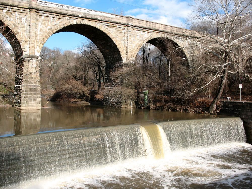
These are NOT the falls of East Falls. This is the Wissahickon Creek just above Ridge Avenue forming the western boundary of East Falls.
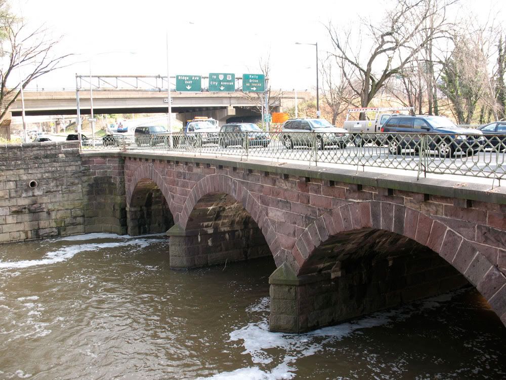
 Ridge Avenue over the Wissahickon. Just a little downstream from here is where the creek joins up with the Schuylkill River.
 Surrounding the Wissahickon on either side is Fairmount Park. It was put in place to protect the creek from overdevelopment and pollution.
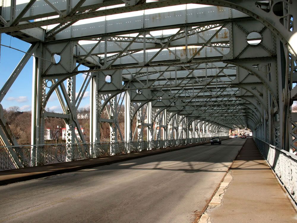
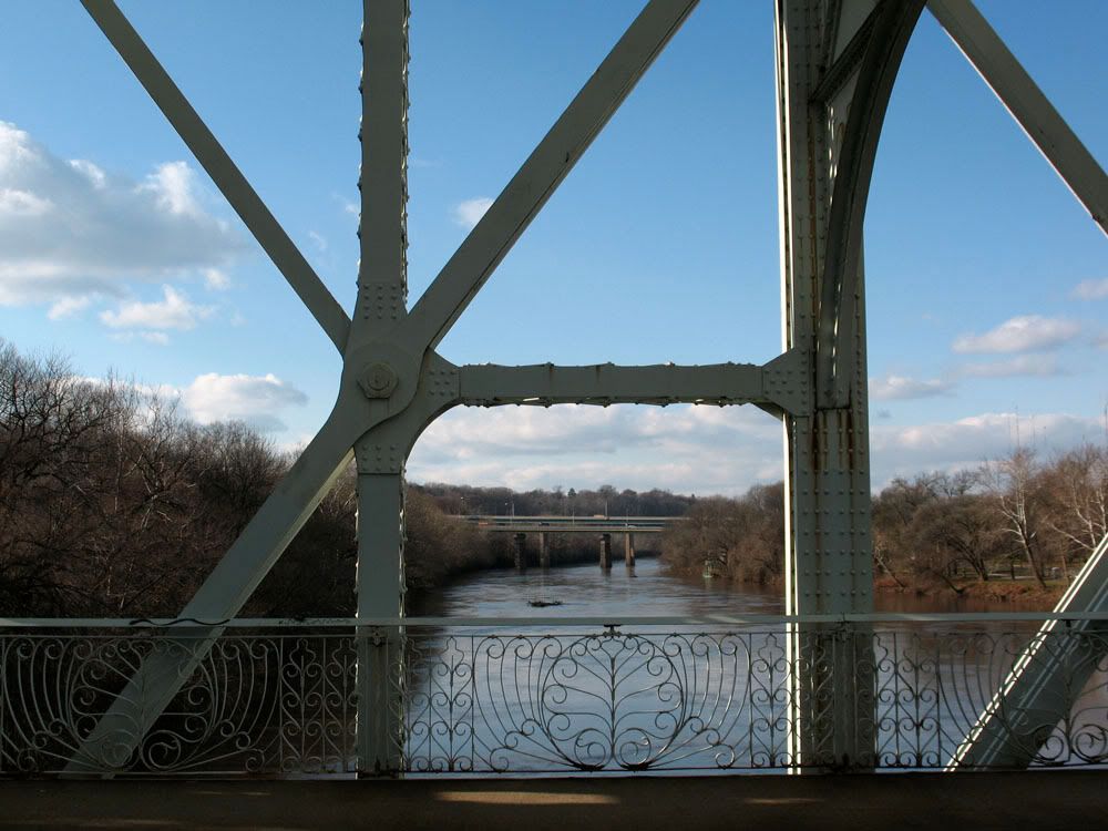
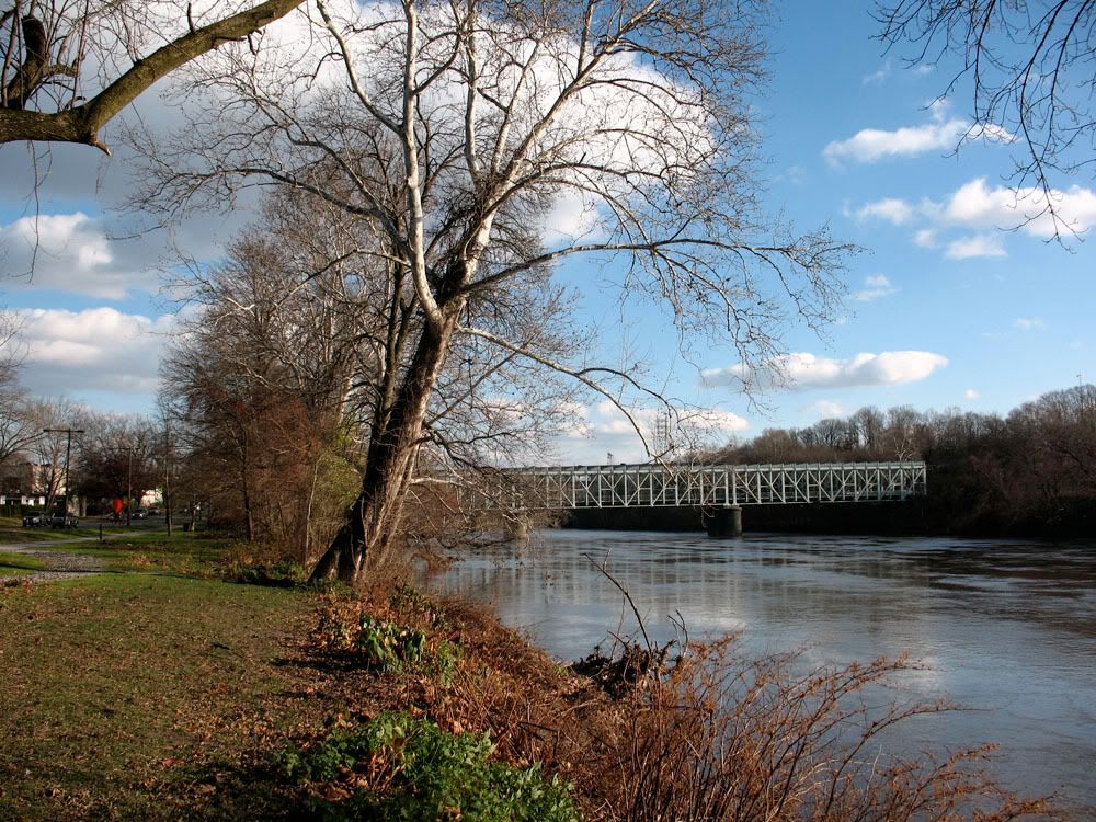
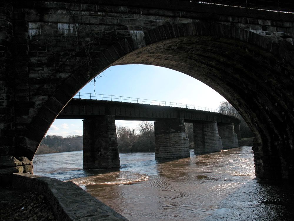
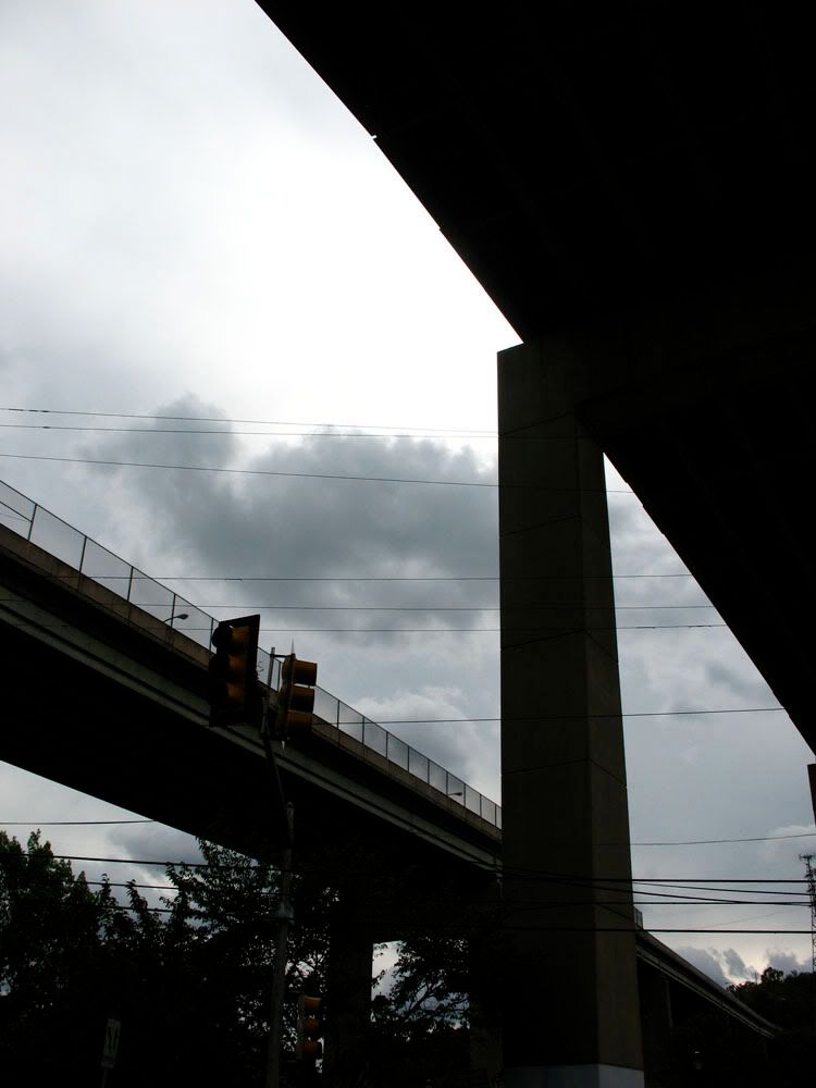
 The Falls Bridge (1895) is the last of six bridges spanning this location. The first one was built in 1808.
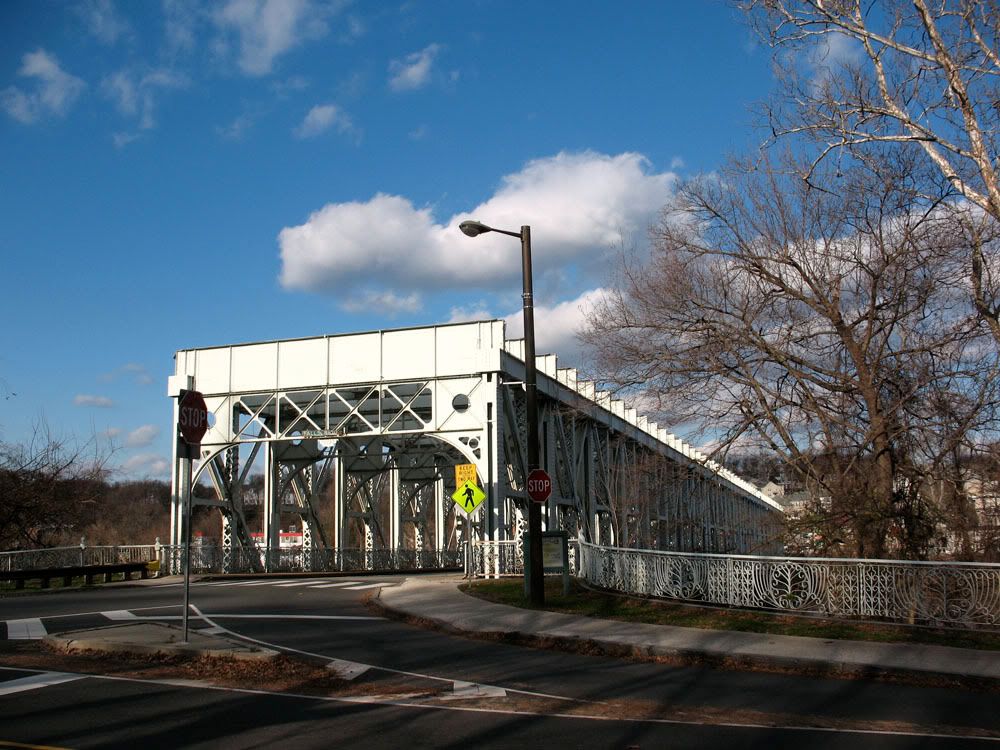 The Falls Bridge spans a distance of 566 feet.
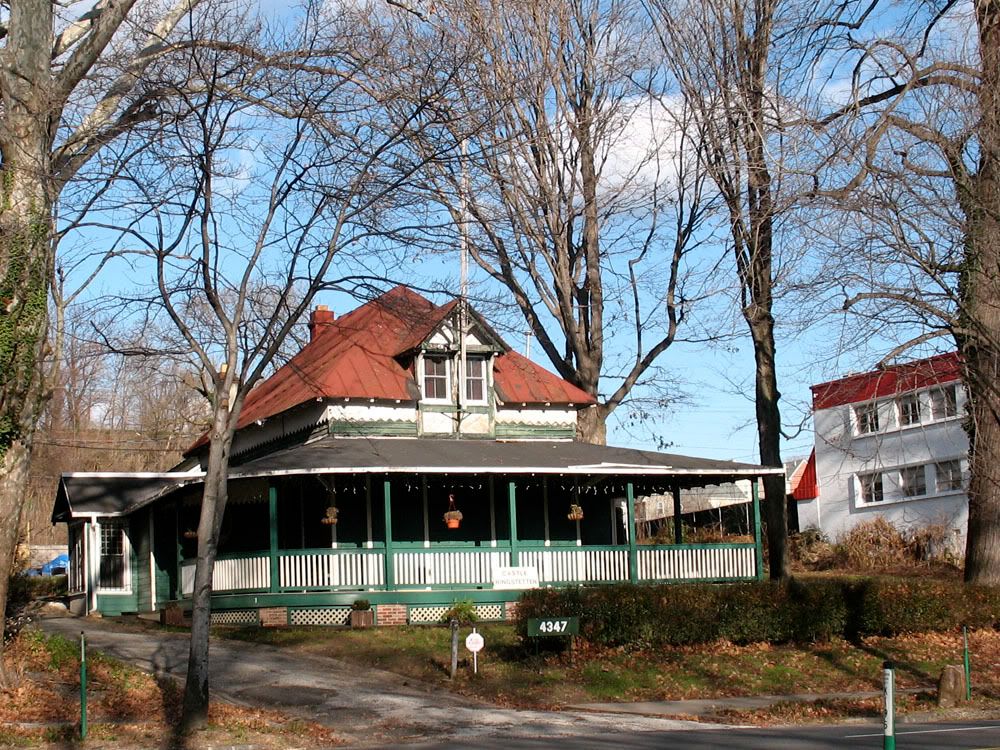
 Castle Ringstetten (1875) by Furness & Hewitt at 4327 Kelly Drive, the club house for the Undine Barge Club.
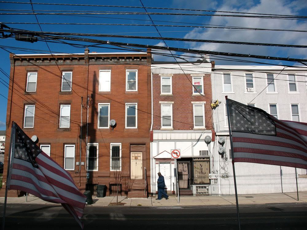
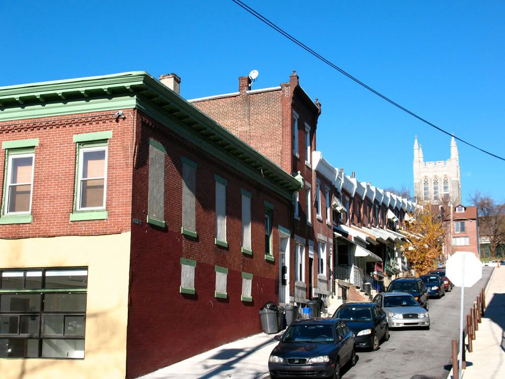
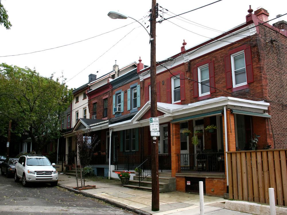
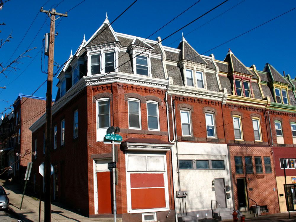
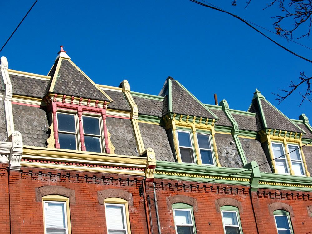
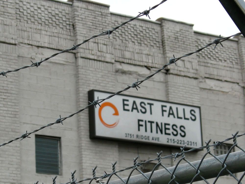
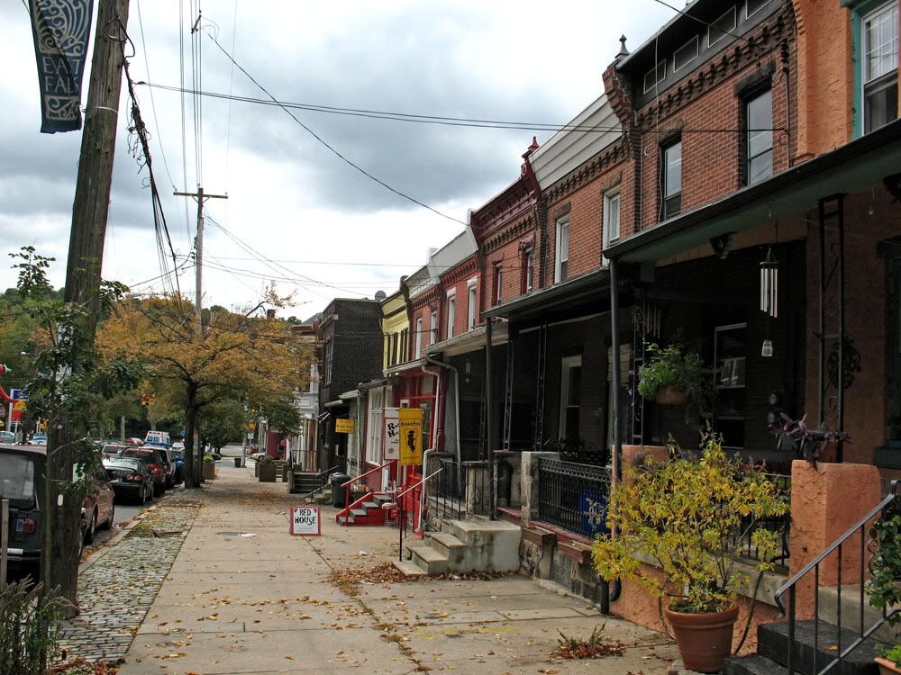
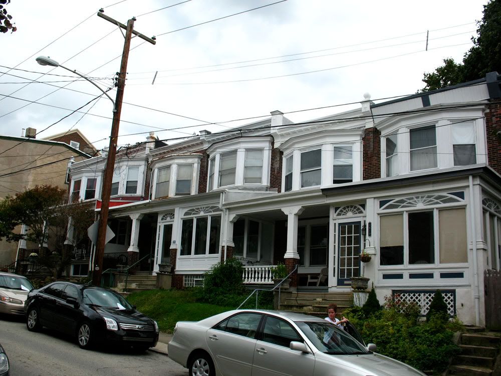
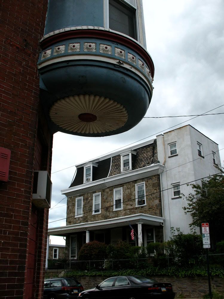
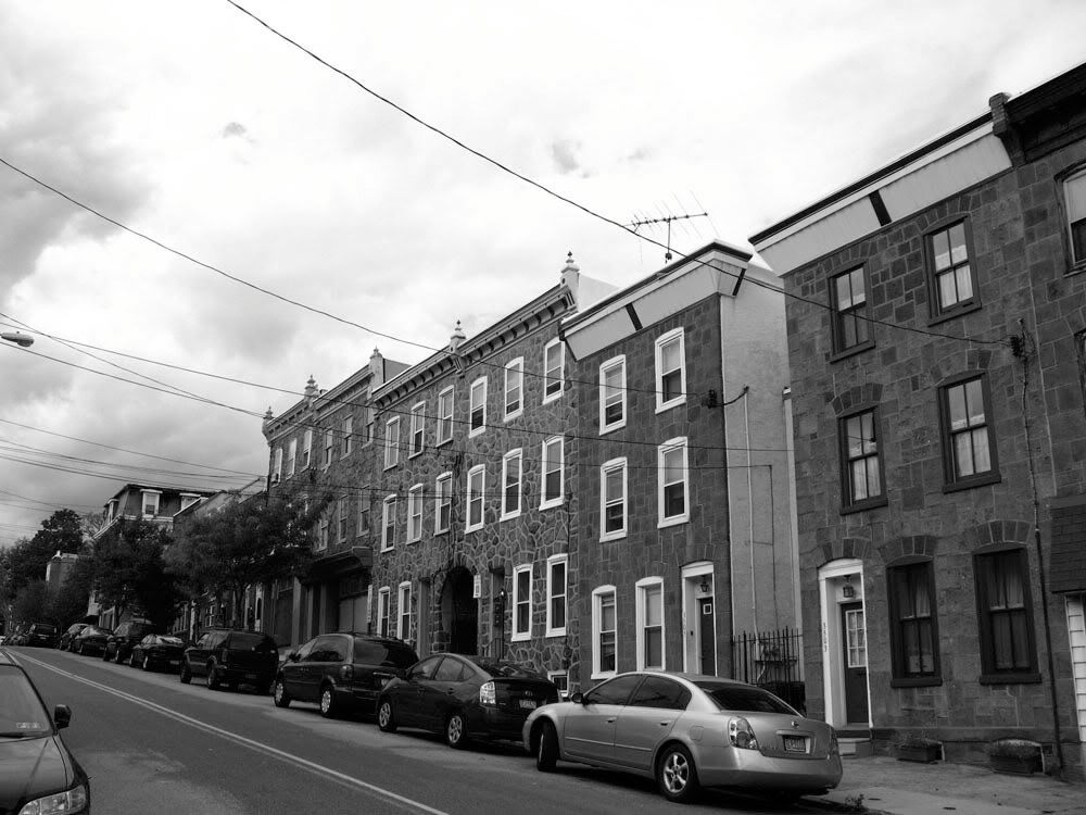
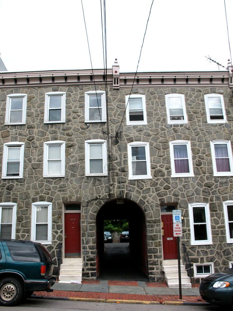
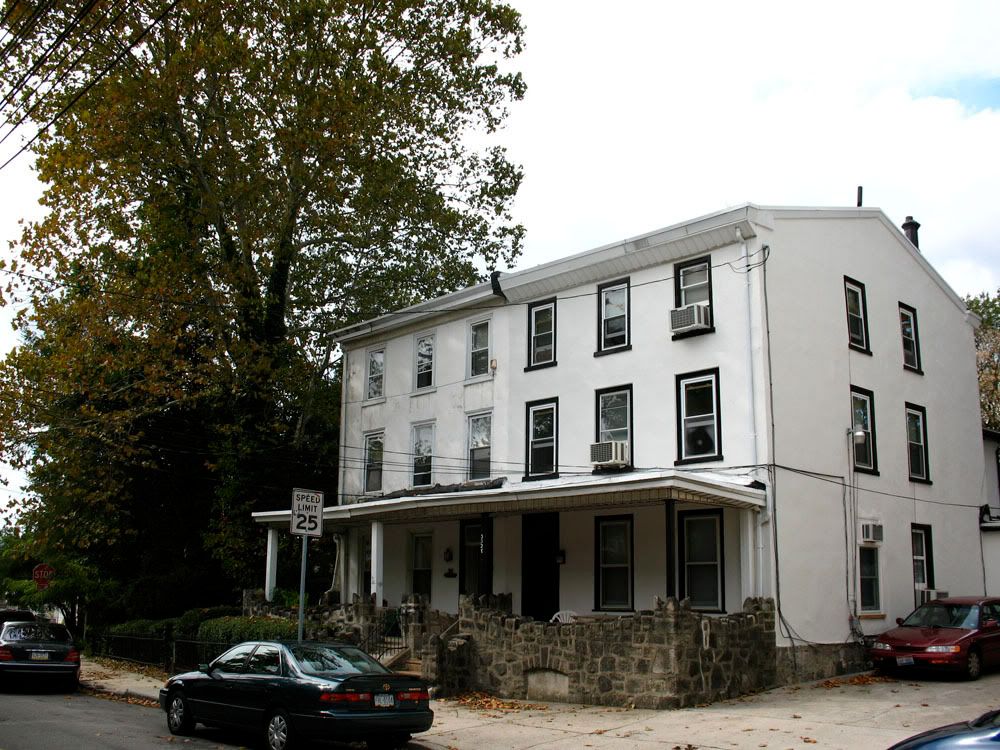
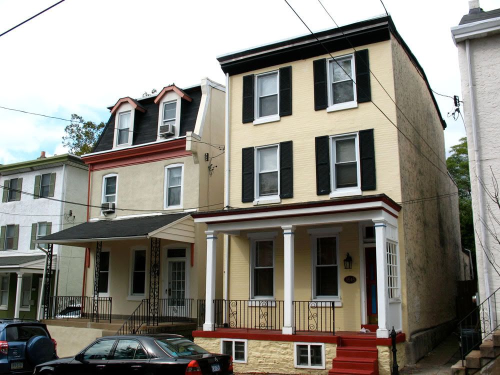
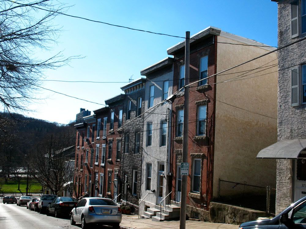
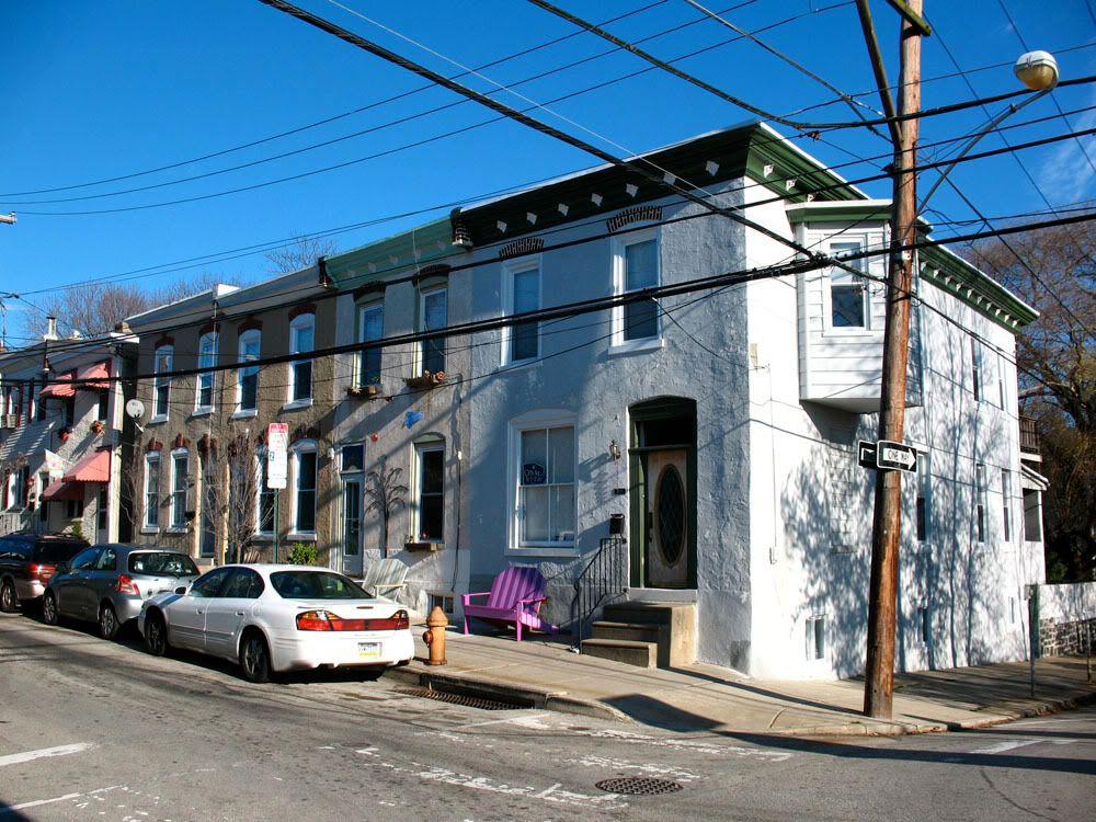
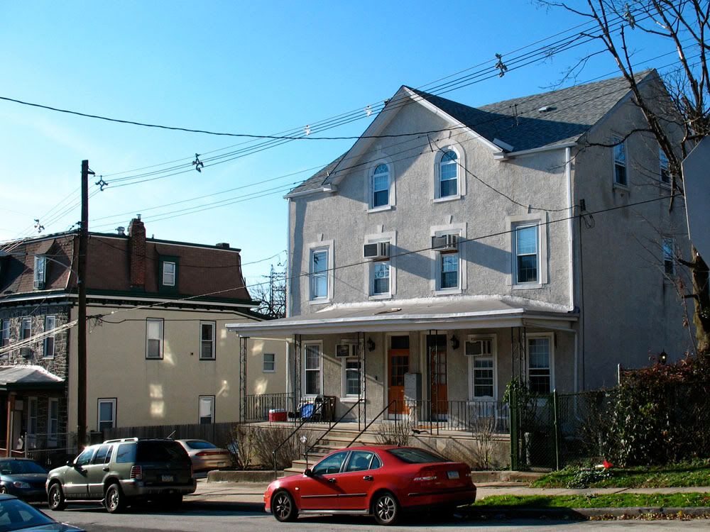
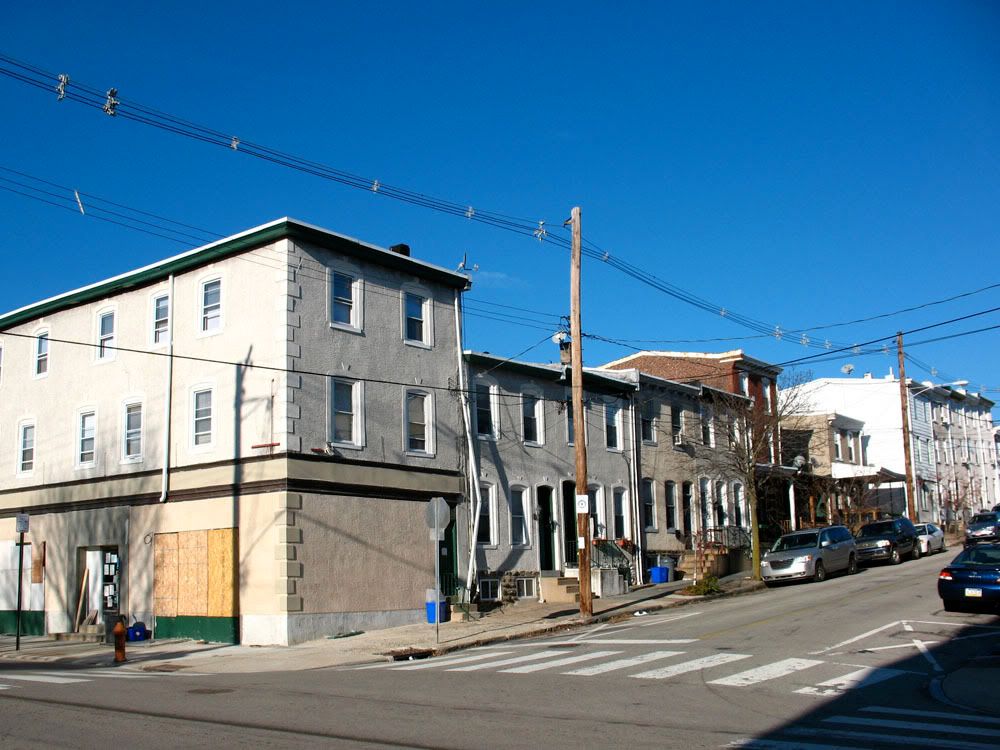
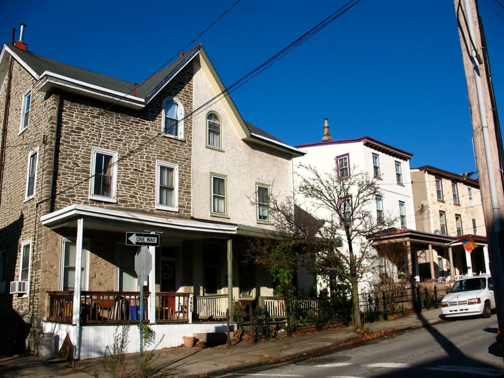
 Common rowhouses on Ridge Avenue.
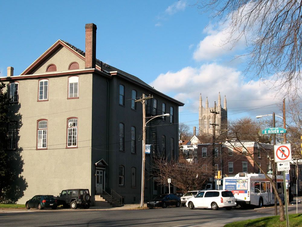
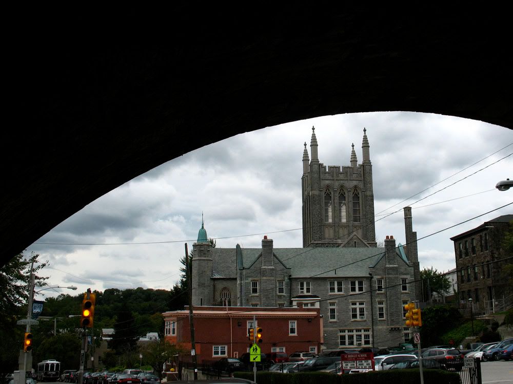
 Odd Fellows Hall Association (c. 1868) at 4200 Ridge Avenue with St. Bridget's looming in the distance.
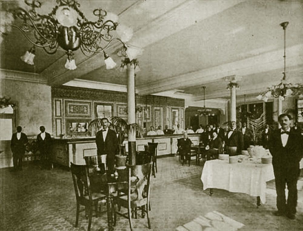
 E.M. Vasey's Inn, shown here in 1897, operated at 4244 Ridge Avenue. Just two years later, beer baron John Betz Jr. (1831-1908) bought the place and turned it into a beer garden.
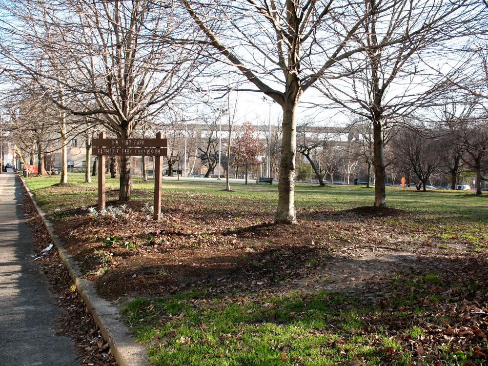
 Sometime in the early 1900s, 4244 Ridge Avenue became the Fairmount Park Inn. It's long gone but a small park in its place bears the name Inn Yard Park.
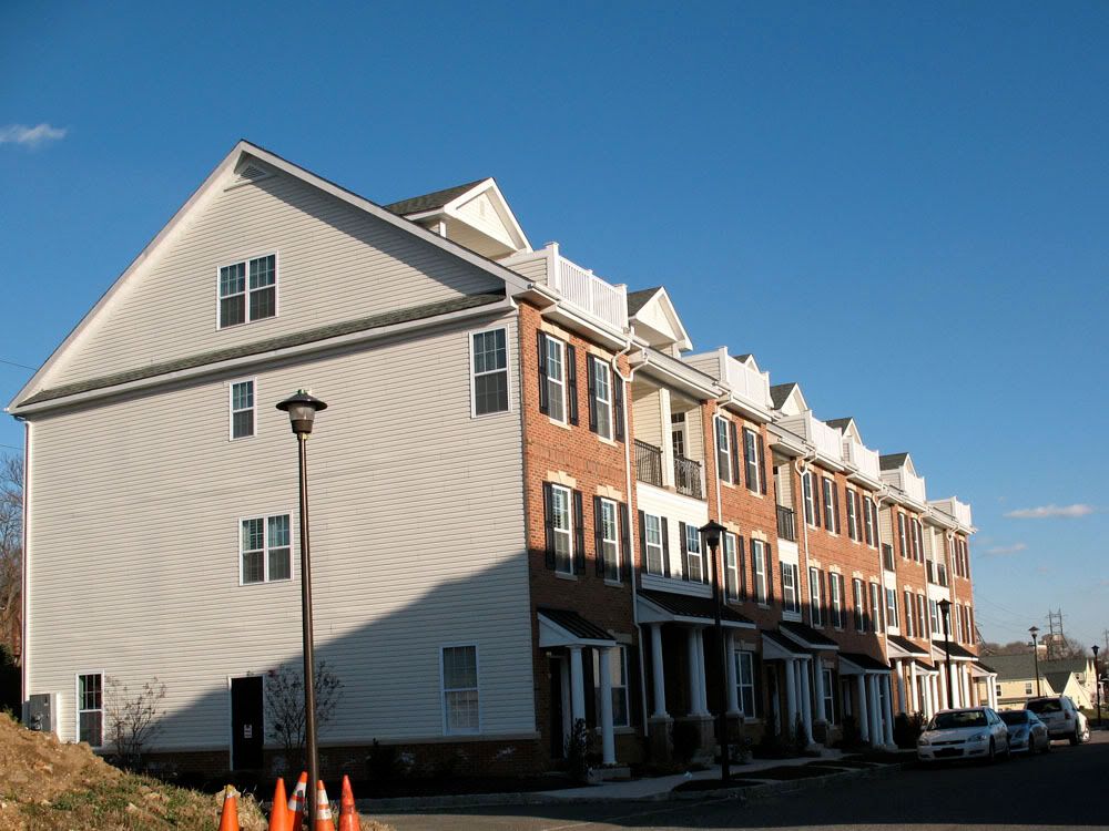
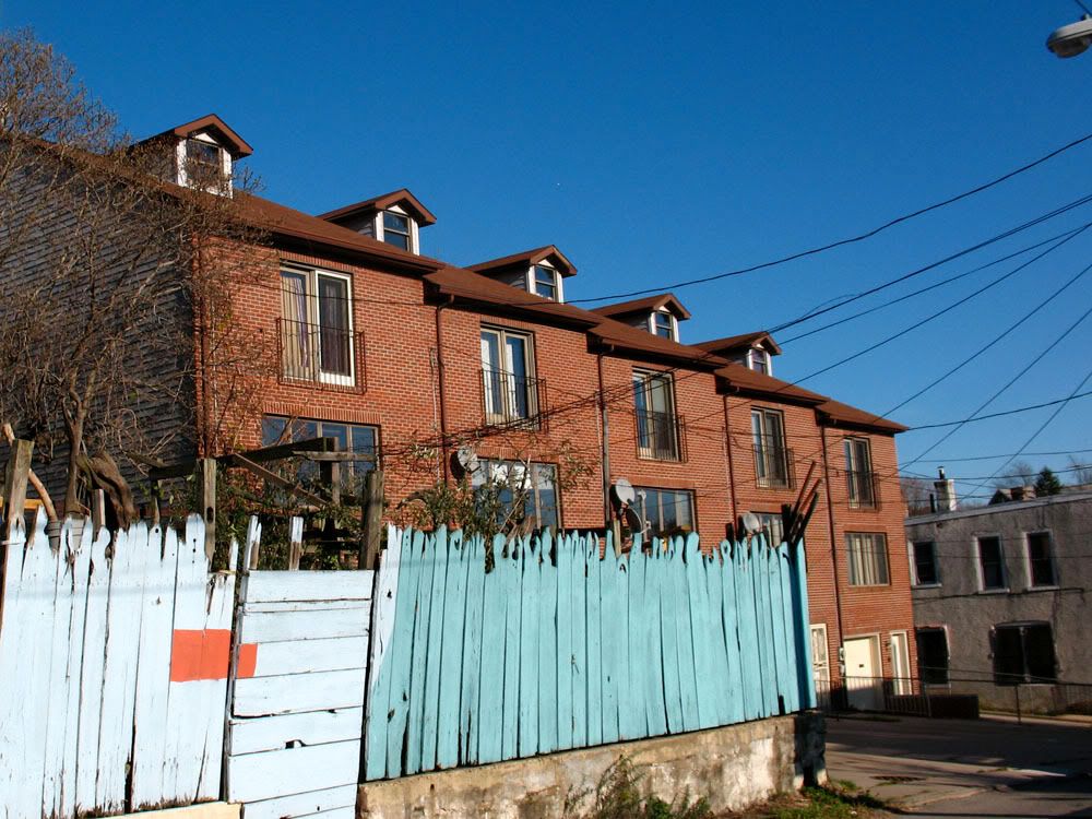
 Hilltop at Falls Ridge is Westrum's redevelopment of the Schuylkill Falls housing project, two high-rise towers demolished in 1996.
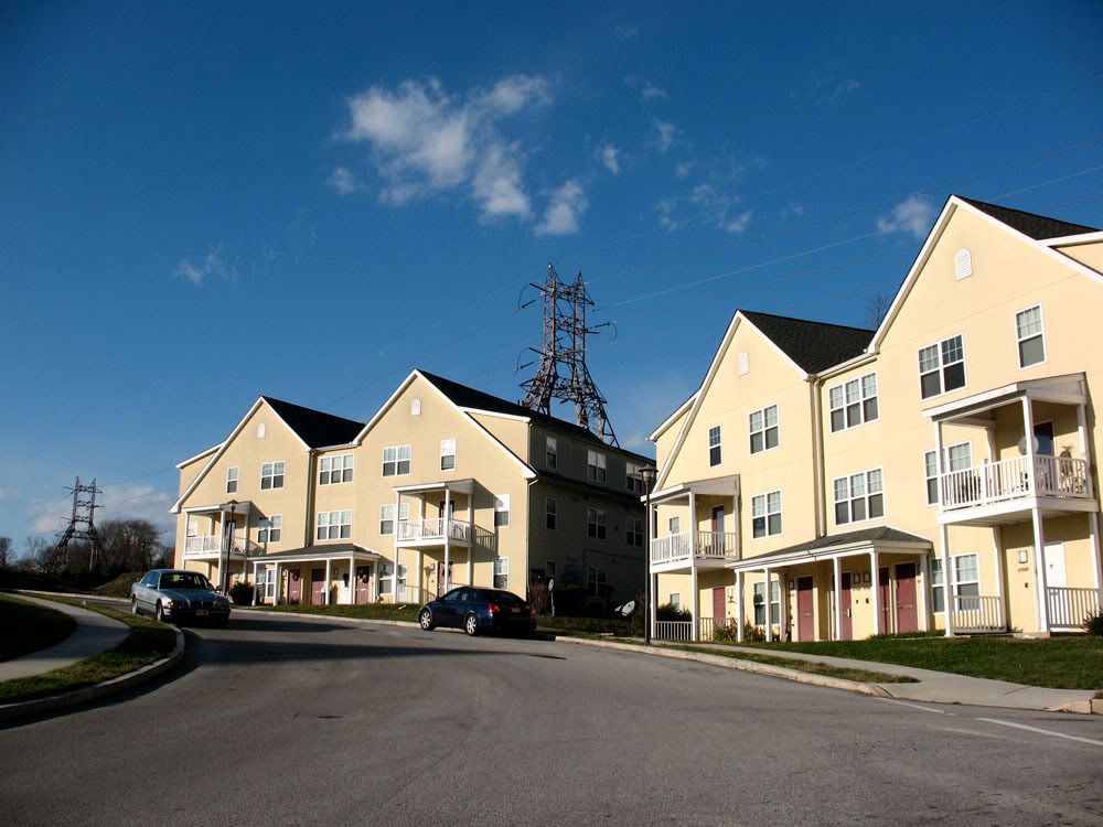 Hilltop at Falls Ridge is a mix of public housing and luxury townhouses utilizing New Urbanism.
 The townhouses have Westrum's trademark banality.
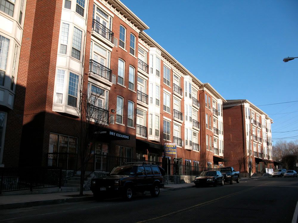
 Further up at 4055 Ridge Avenue is Dobson Mills, a new luxury apartment complex.
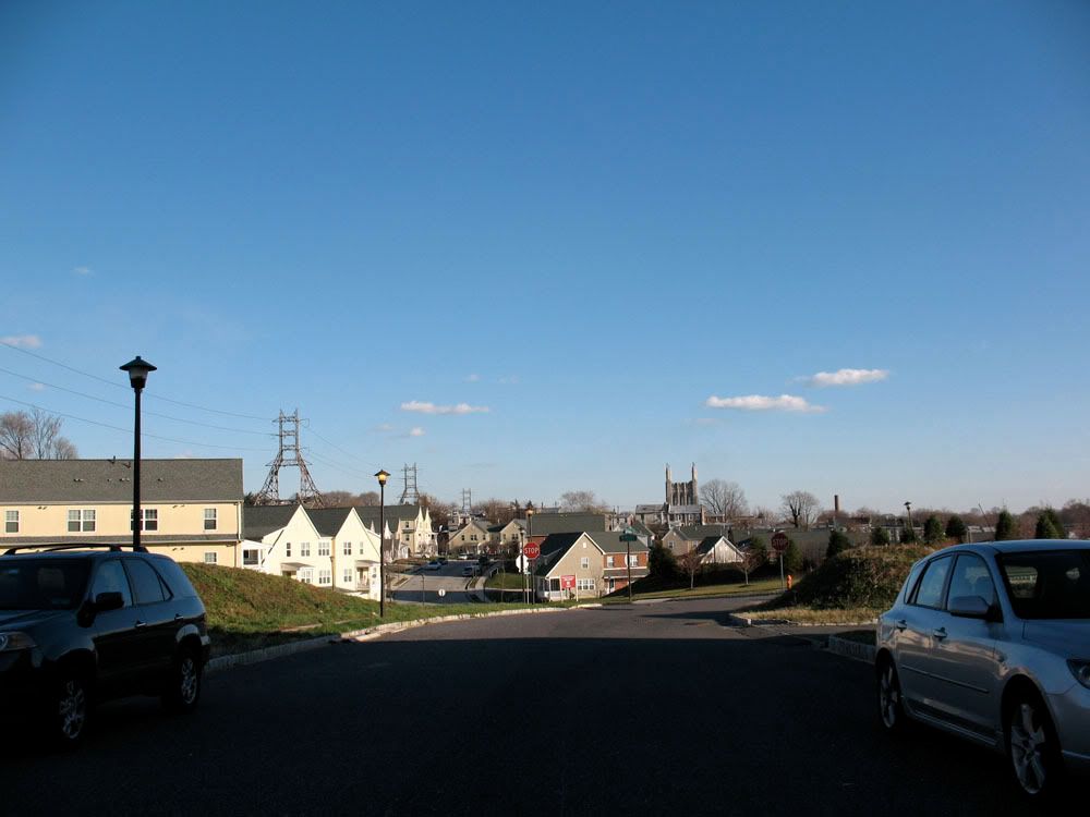
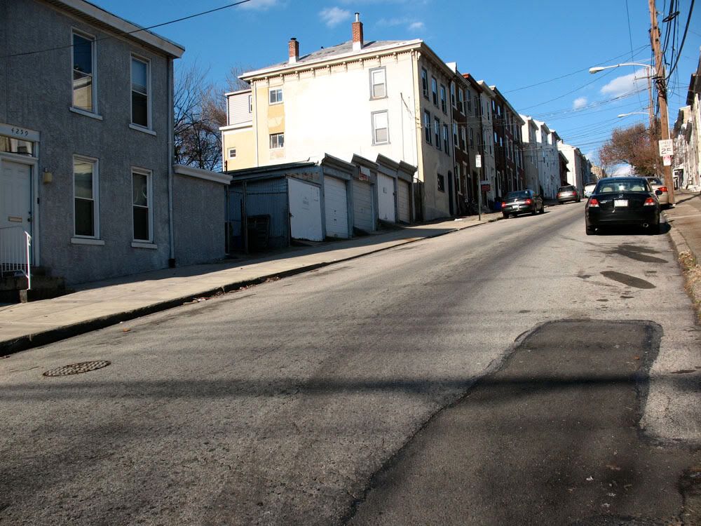
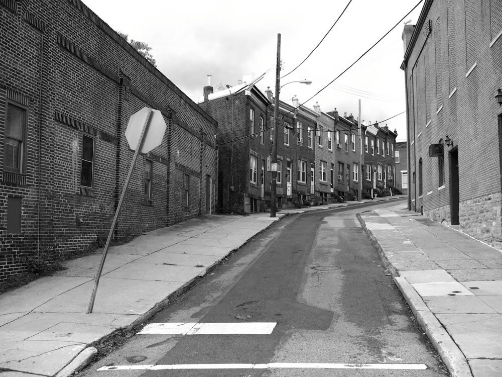
 Calumet Street looking up from Ridge Avenue.
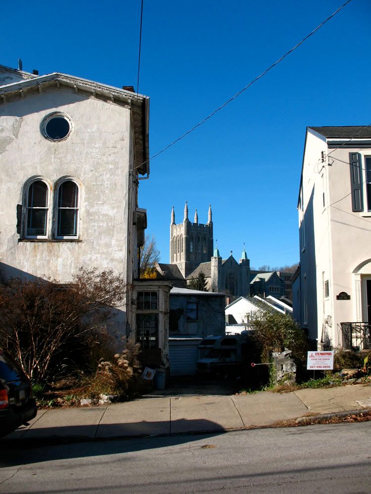
 St. Bridget's Catholic Church (1927) on 3667 Midvale Avenue is one of the most visible landmarks in East Falls. Connie Mack and Grace Kelly attended mass here.
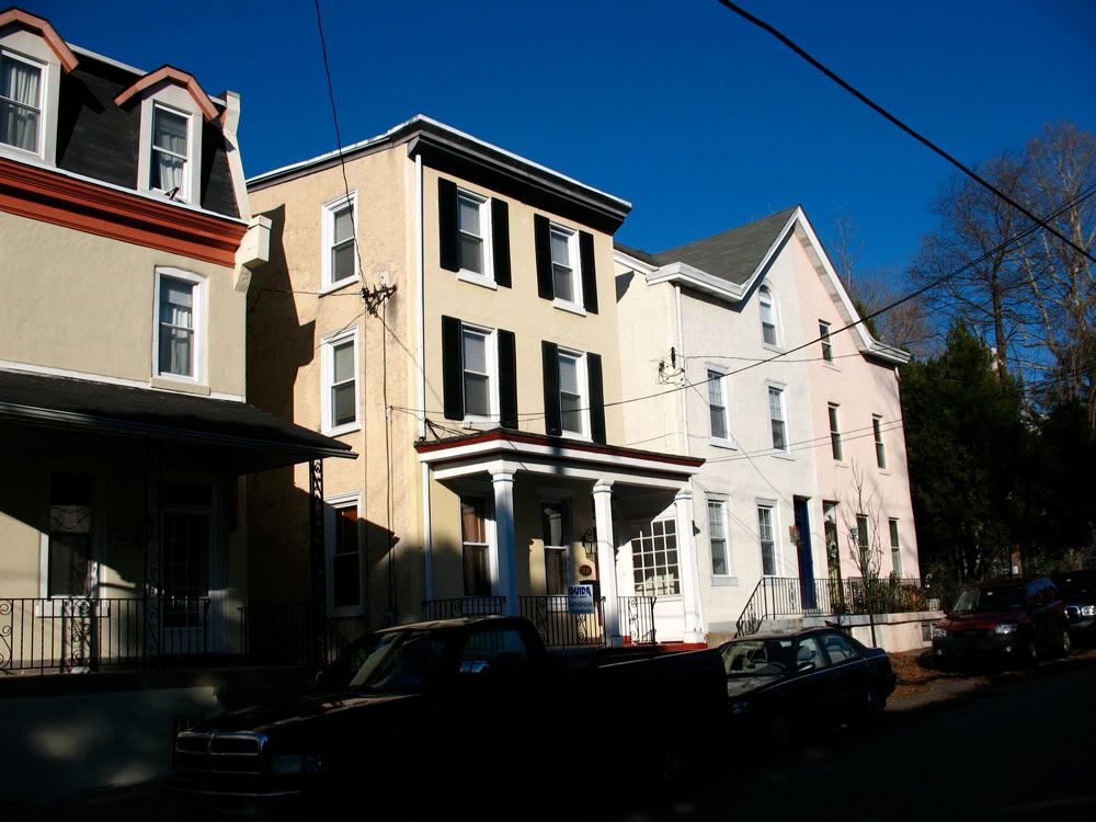
 Eveline Street rising from Ridge Avenue.
 Looking down tiny Arnold Street.
 Looking up crooked Frederick Street from Midvale Avenue.
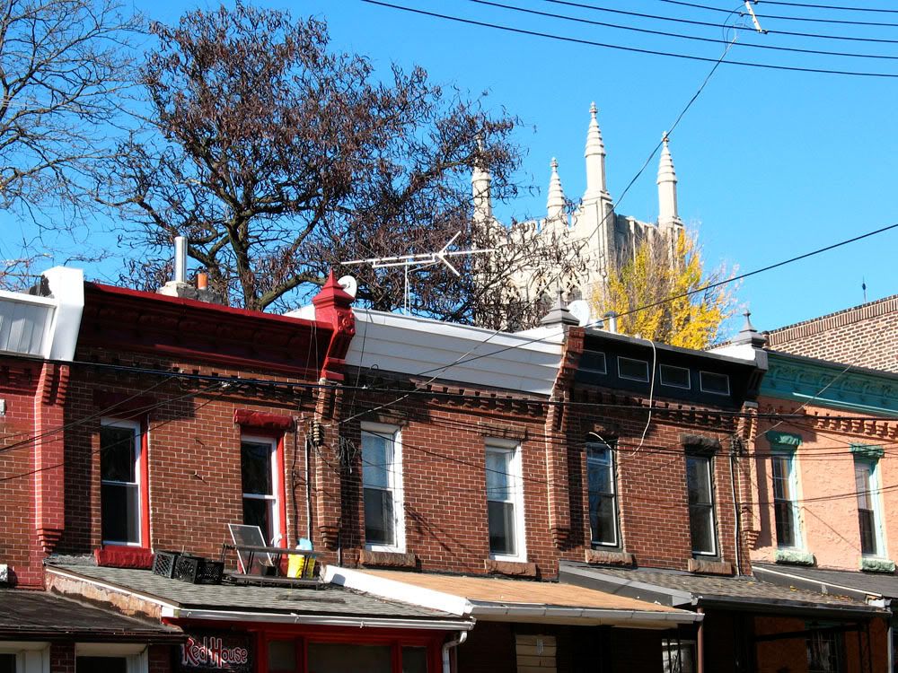
 St. Bridget's Church peeking over top of old rowhouses on Midvale Avenue.
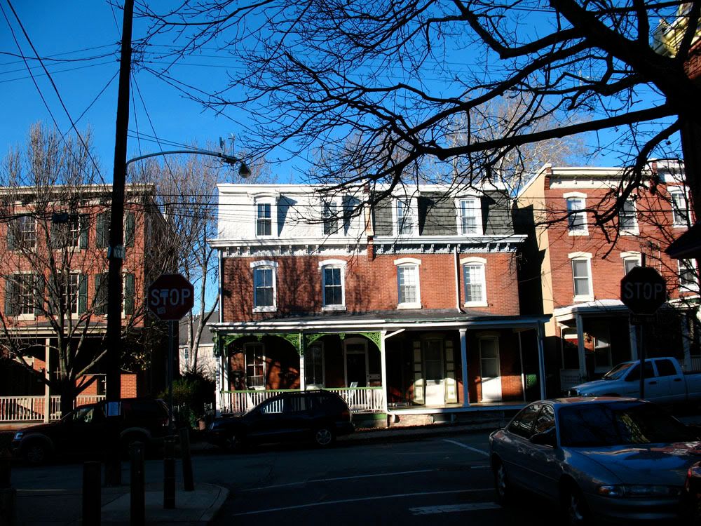
 Rowhomes along Ridge Avenue, the Twin Bridges visible.
 3600-3610 Indian Queen Lane (1928). Classic Philly rowhouses, 3602 was featured in the forgettable 2008 movie "Cover".
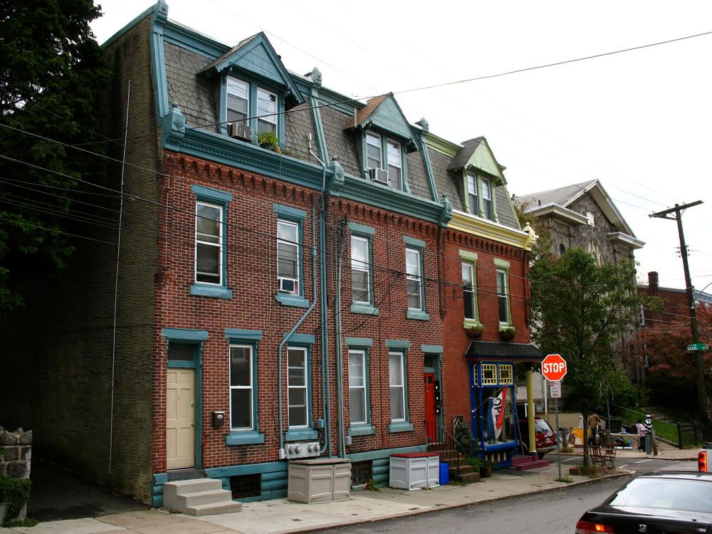
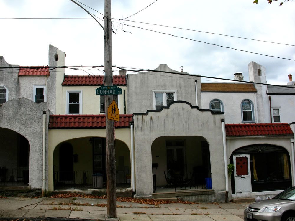
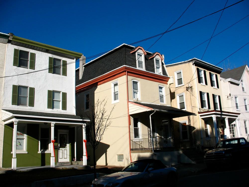
 3500 block of Conrad Street (c. 1880)
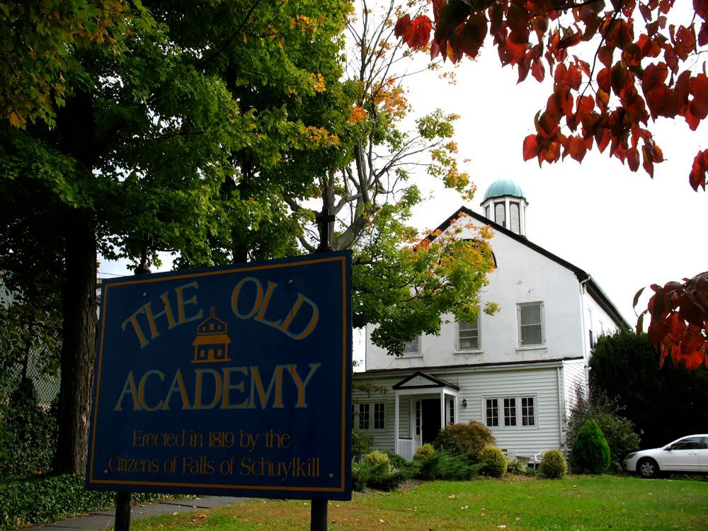
 3544 Indian Queen Lane, The Old Academy (1819)
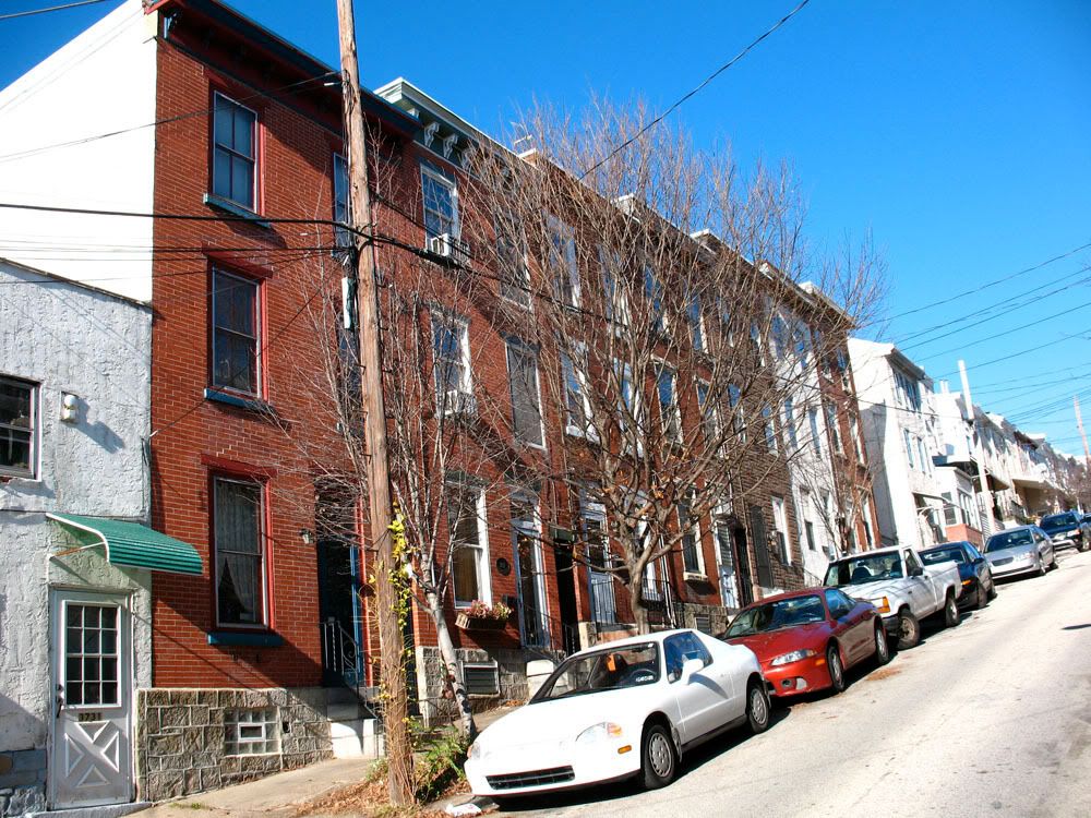
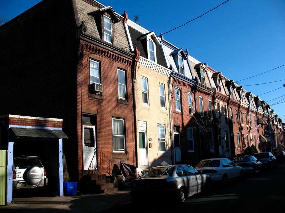
 Three-story rowhomes on Krail Street.
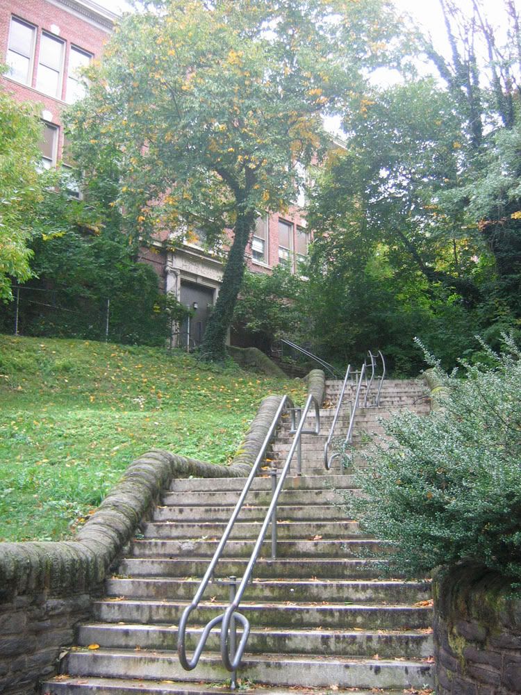
 Stairs leading to the Mifflin School, corner of Midvale and Conrad.
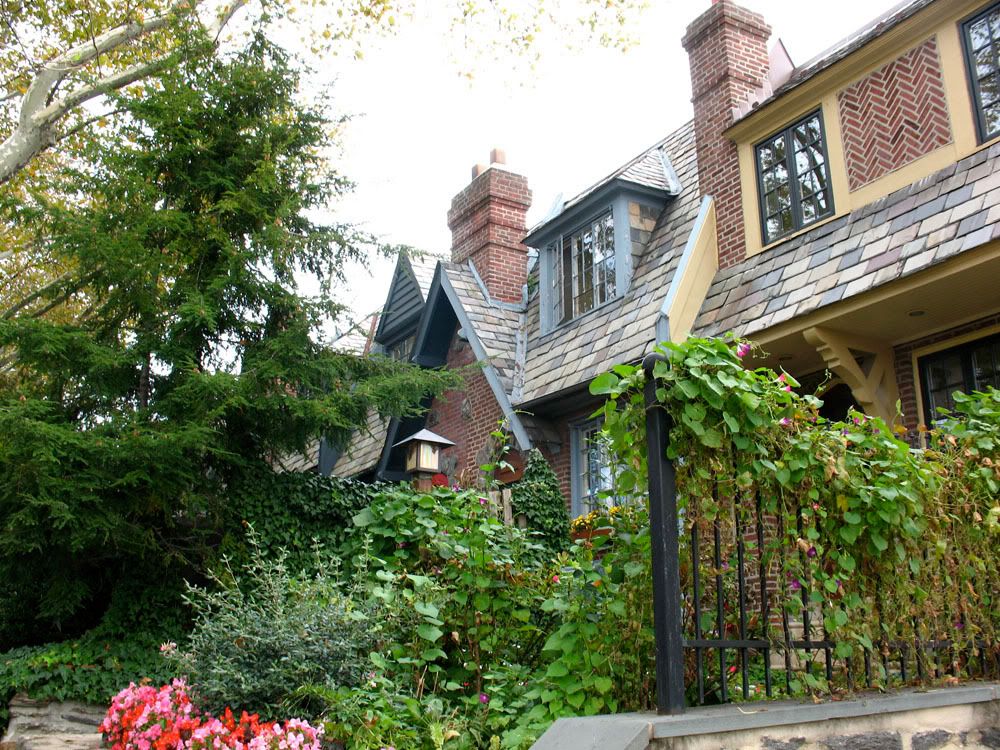
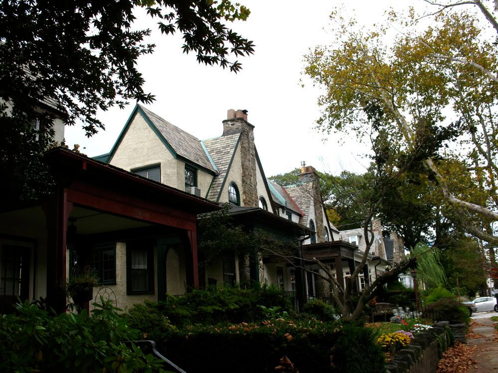
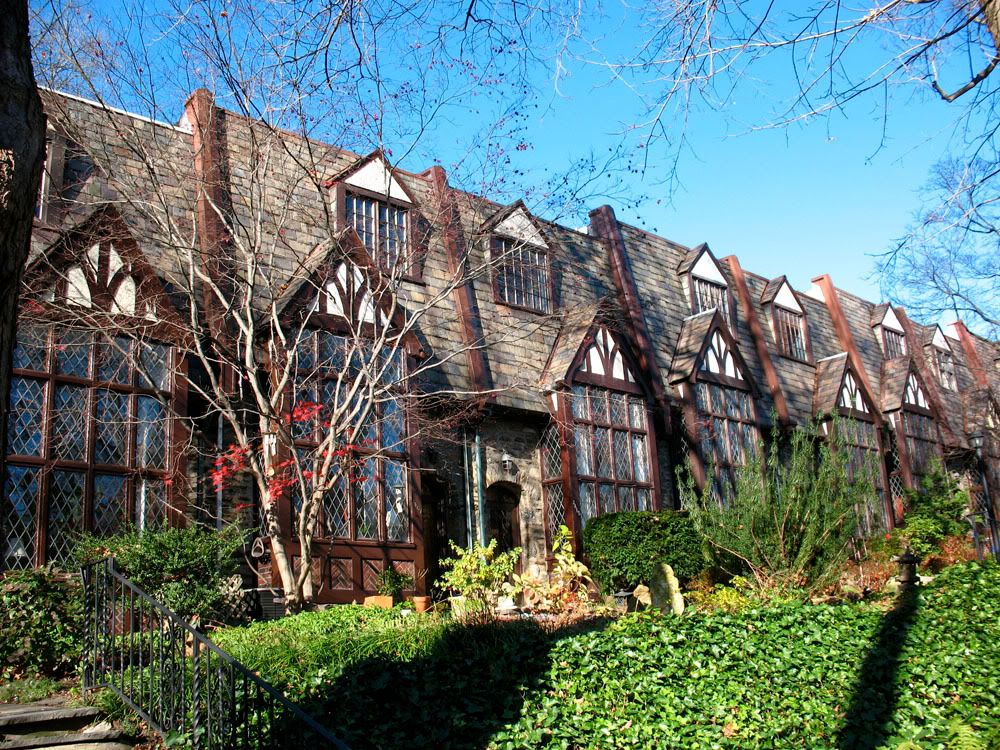
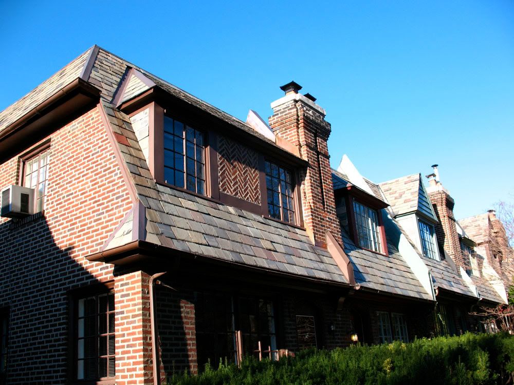
 3400 block of Midvale Avenue, the heart of East Falls' Tudor District, built in 1925 developer Robert McCrudden.
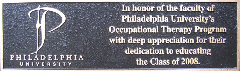
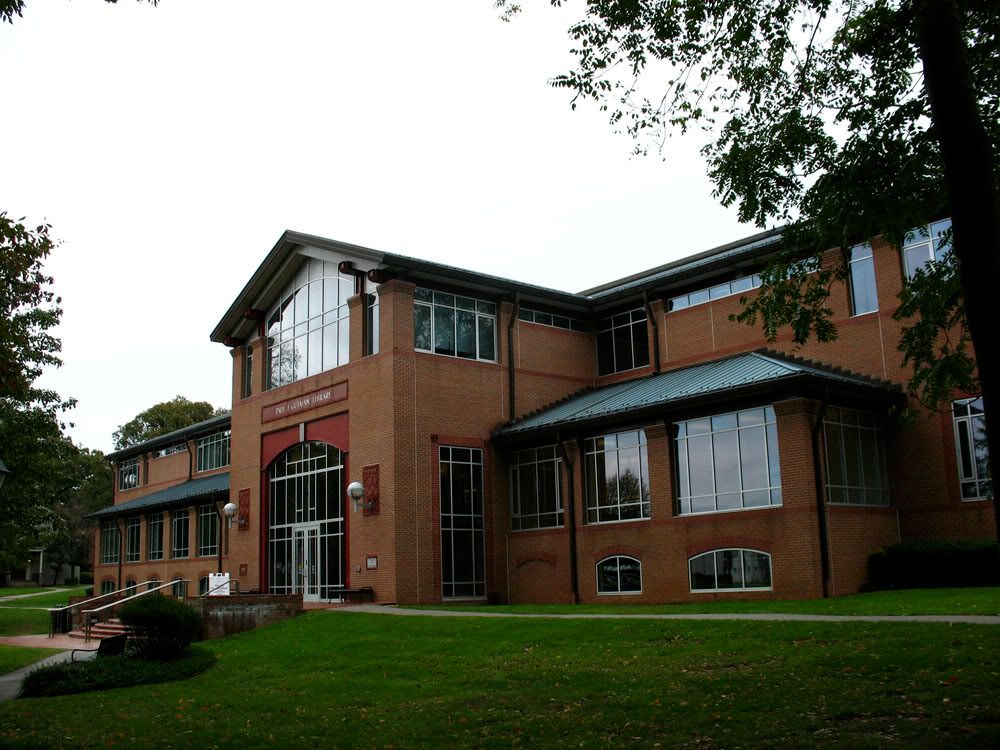
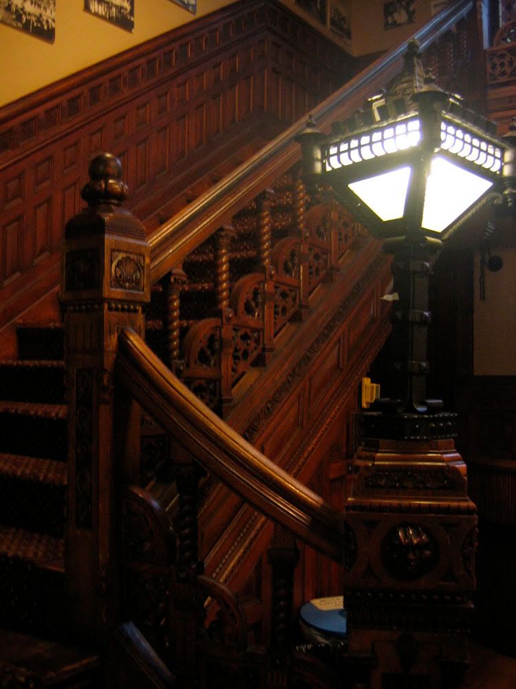
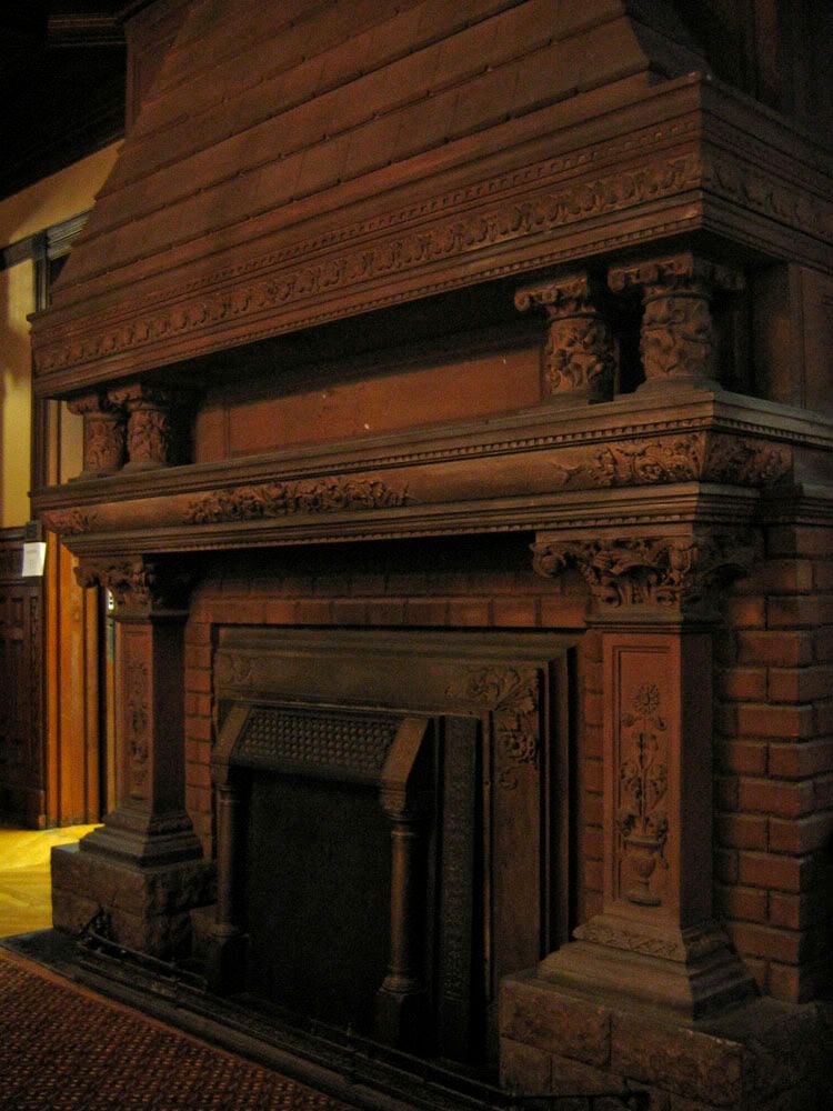
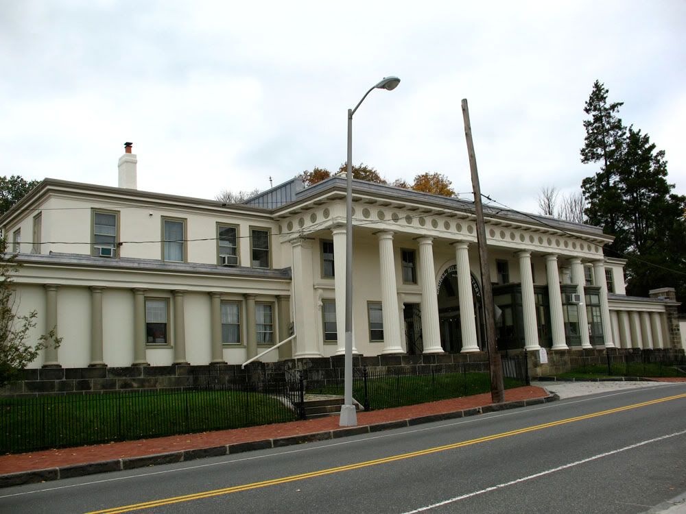
 Philadelphia University
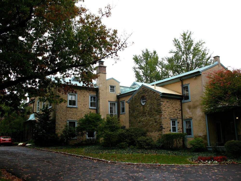
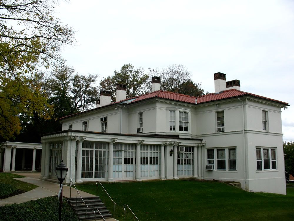
 The President's House (1850's), 1929 alterations and additions by Mellor, Meigs & Howe
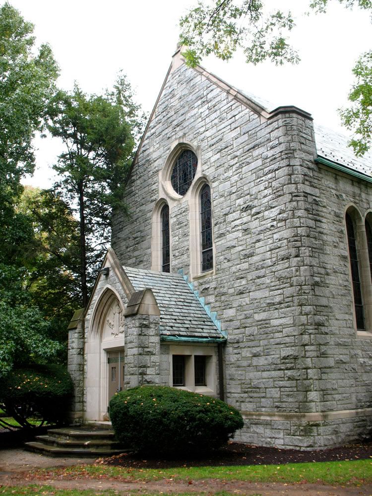
 The Chapel (1938)
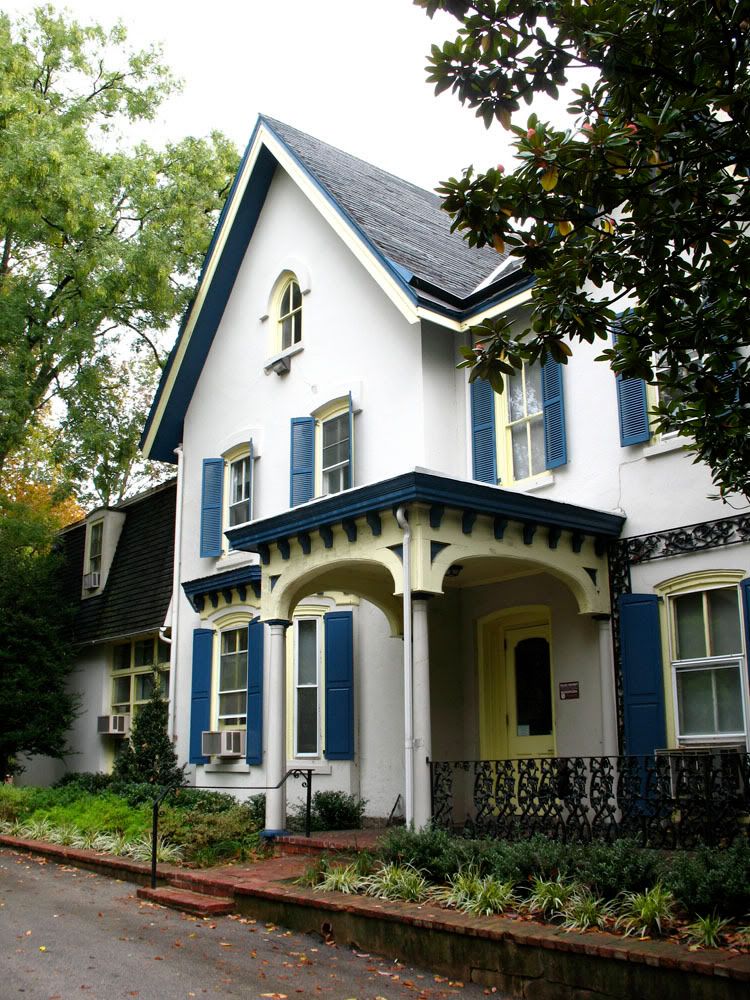
 The White House, the Colonel Kolb House (1900)
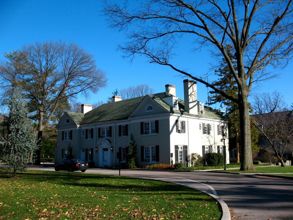
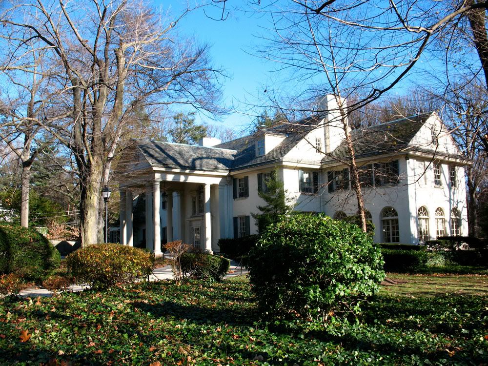
 Ravenhill, The William Weightman Mansion (1887).
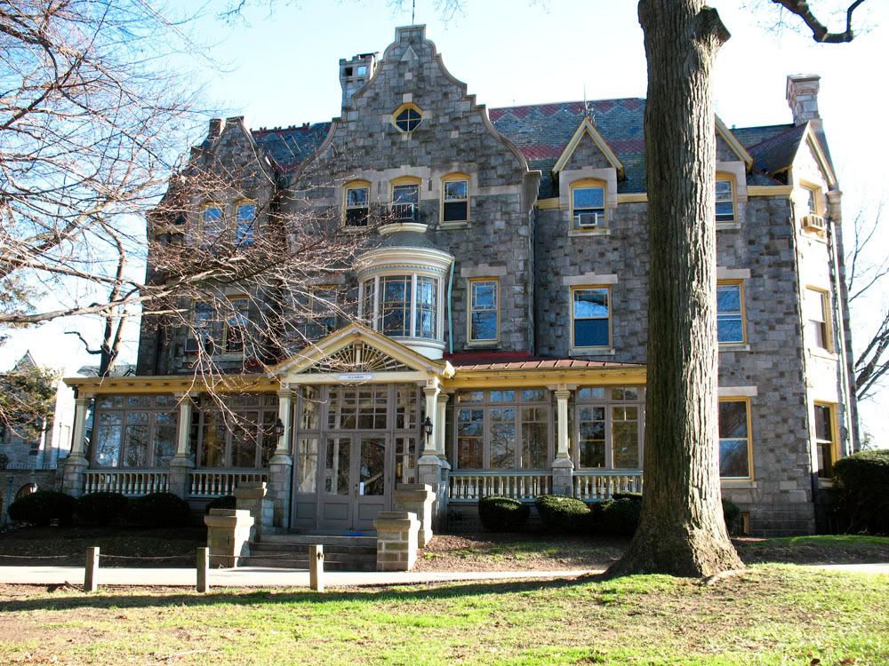
Designed by Willis Hale, Ravenhill was home to pharmaceutical magnate William Weightman (1813-1904)
At the time of his death, Weightman was one of the richest men in America.
In 1972 Ravenhill was sold to Philadelphia University
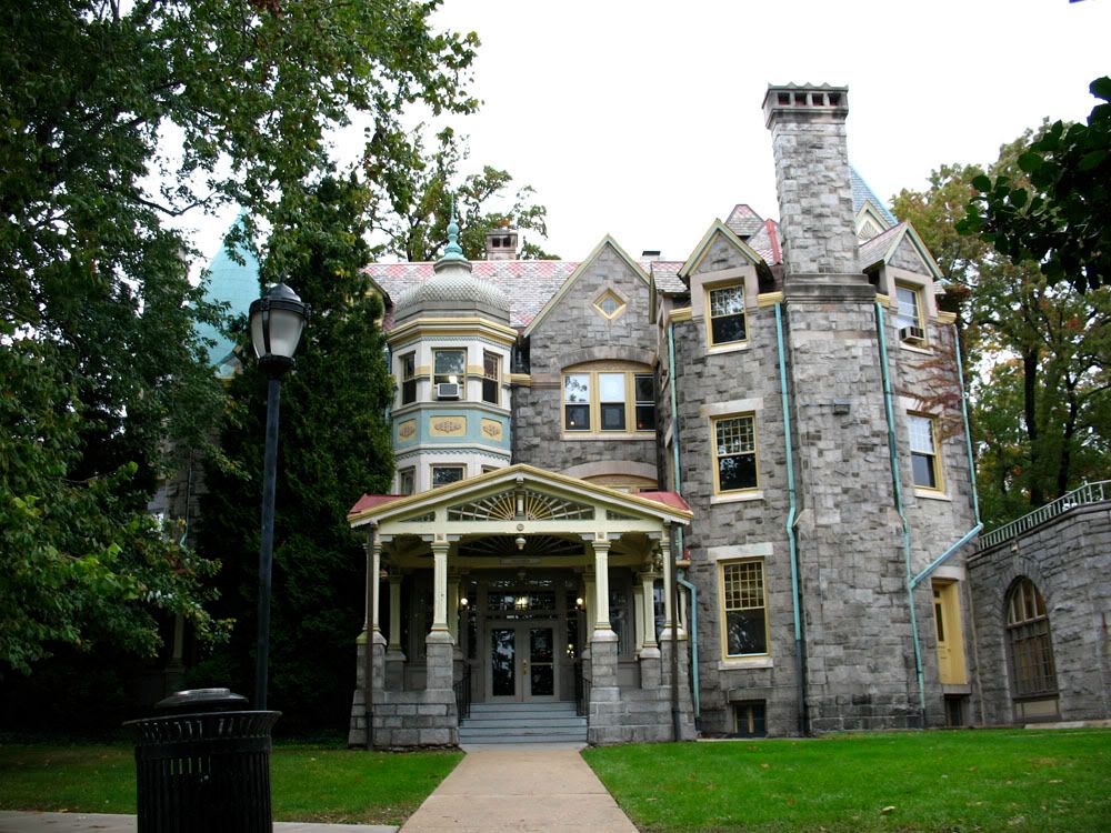
 White Corners (1914)
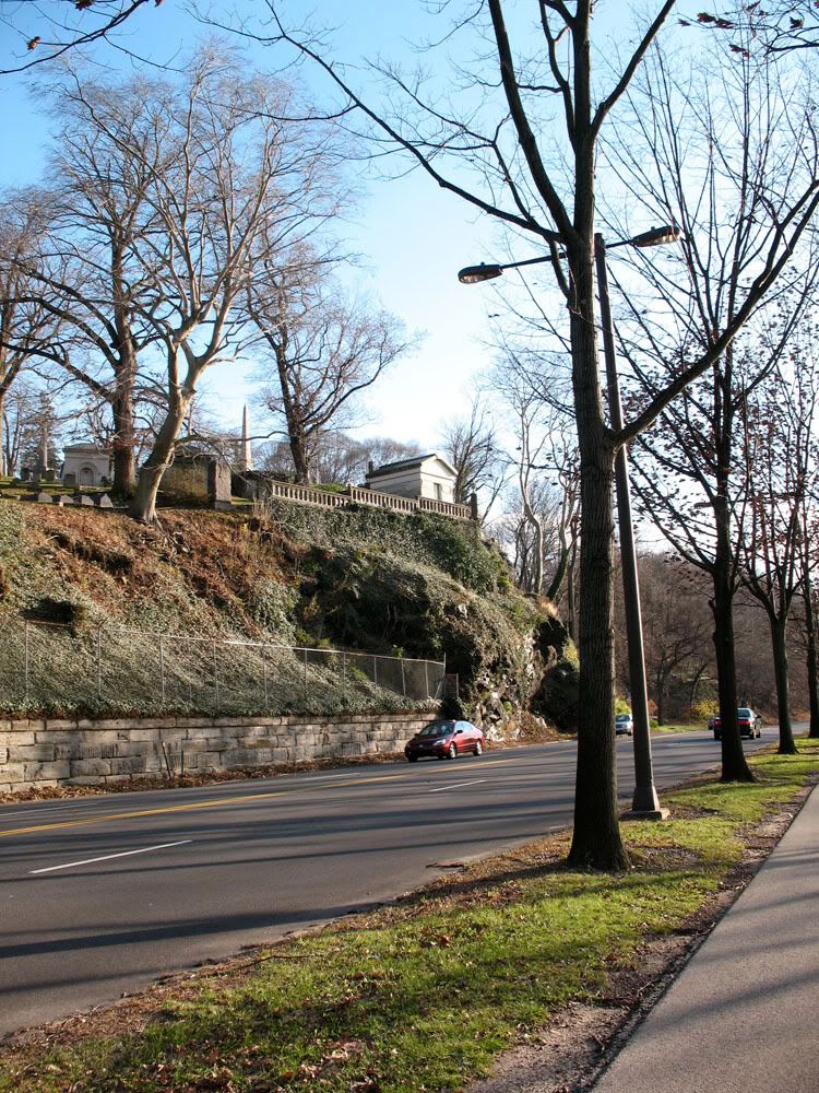
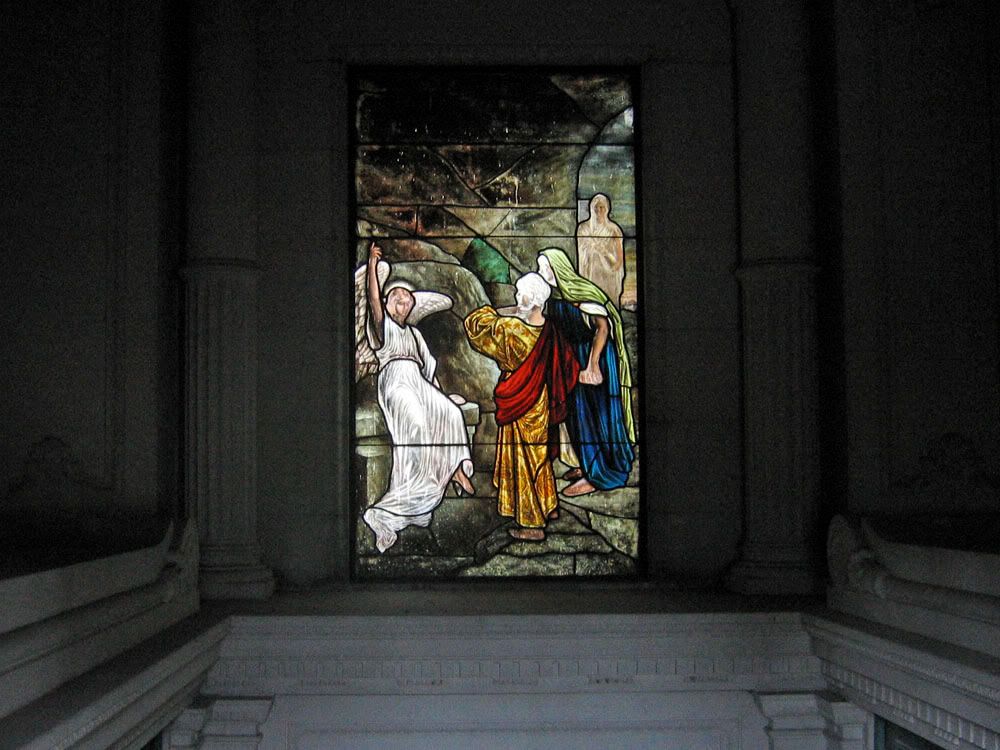
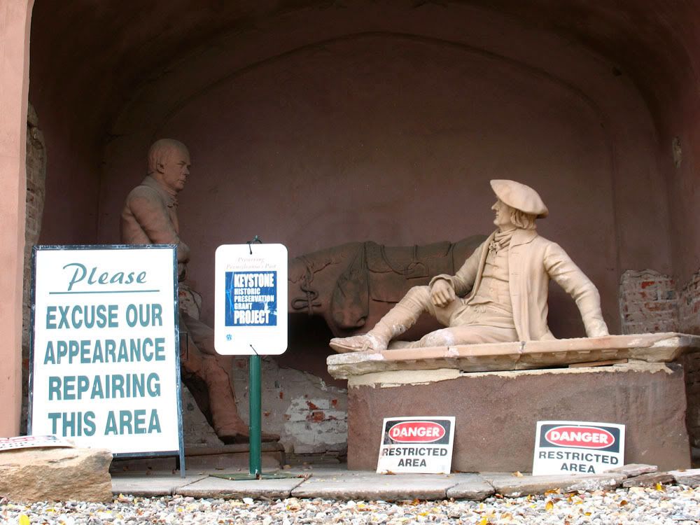
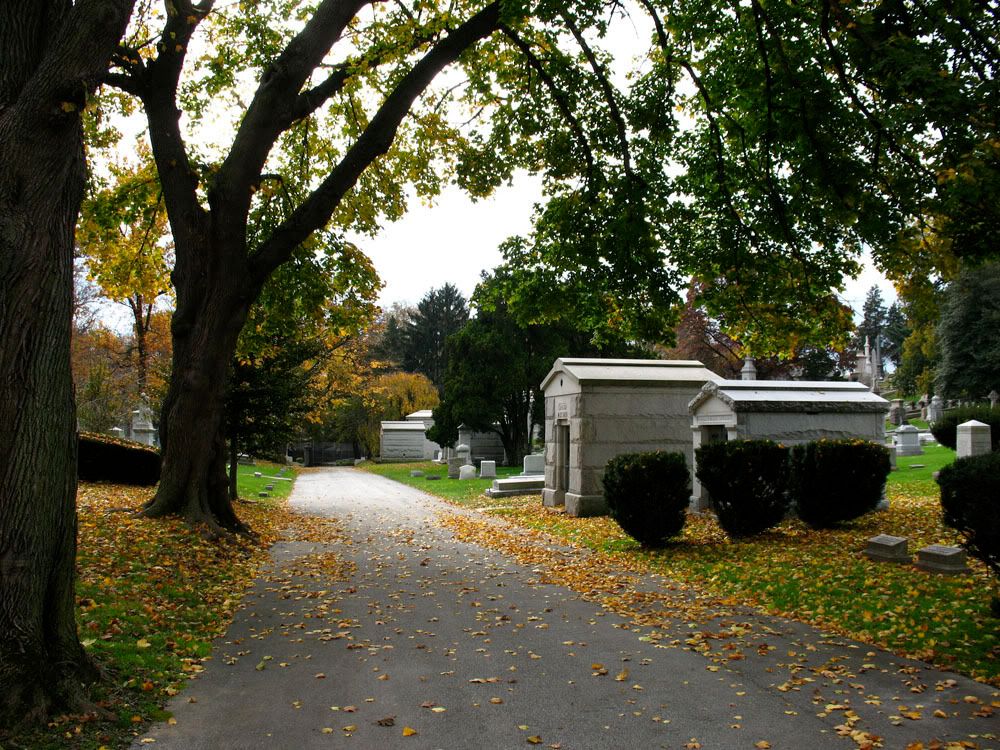
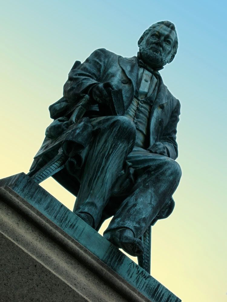
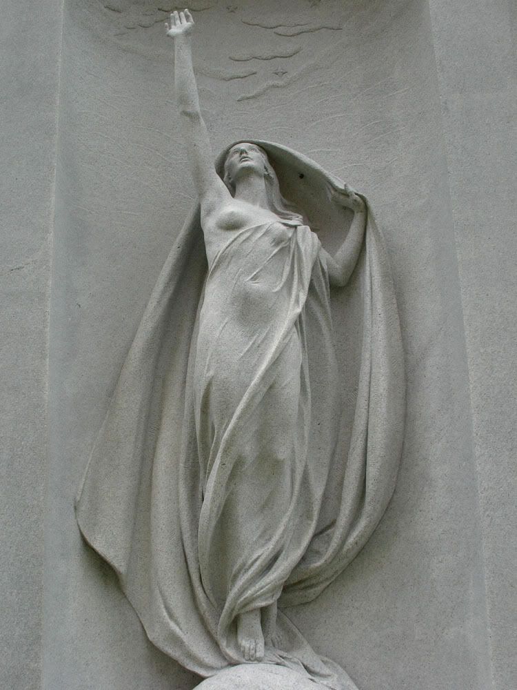
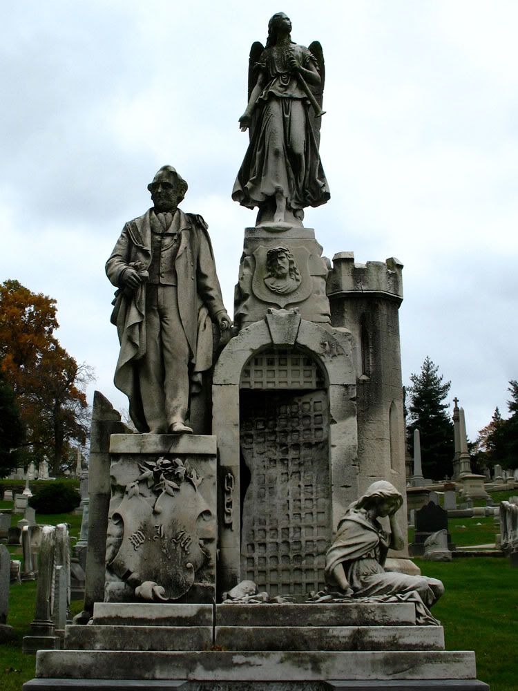
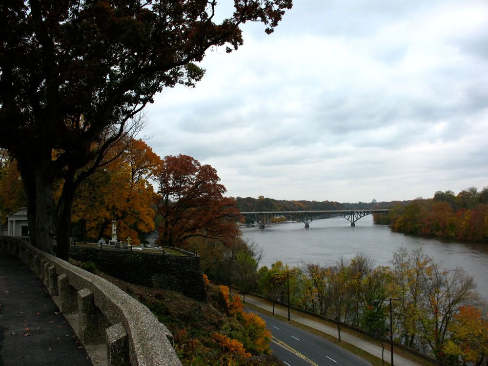
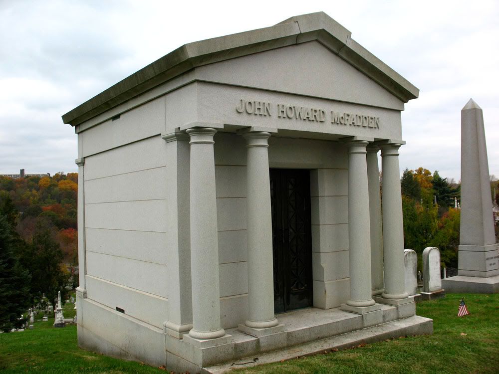
 Laurel Hill Cemetery
Famous Philadelphians from Henry Disston to Harry Kalas have found their final resting spot at Laurel Hill. Founded in 1836, Laurel Hills Cemetery sits on 32 acres overlooking the Schuylkill River in East Falls.

 Looking down Stanton Avenue towards Ridge.
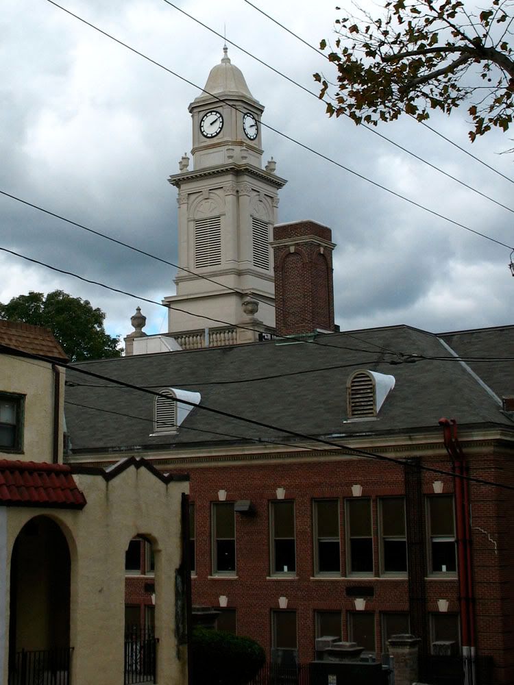
 The Free Library of Philadelphia. Note the catfish atop the weathervane.
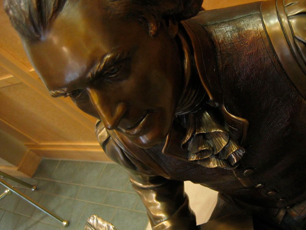
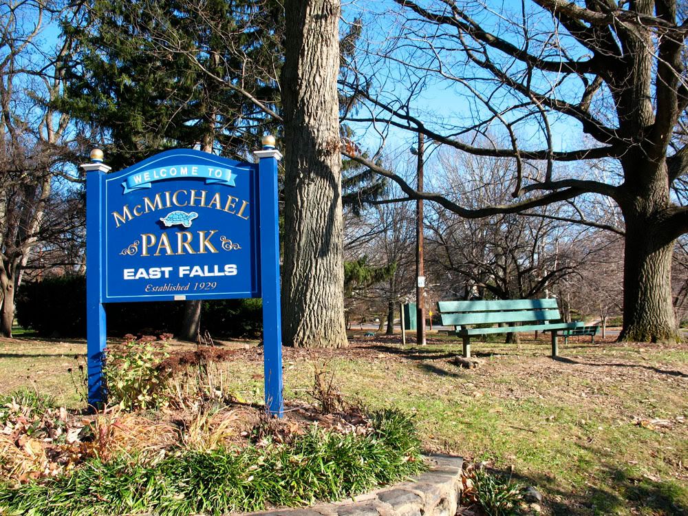
 McMichael Park (1929) was named for a former mayor of Philadelphia. Lafayette's headquarters were located near this site in 1777.
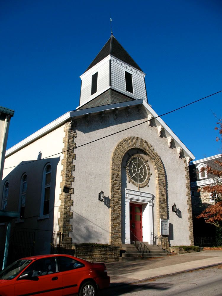
 Falls Baptist Church (1851) on Indian Queen Lane. This church has been greatly altered over the years including the removal of a very tall steeple for its present one.
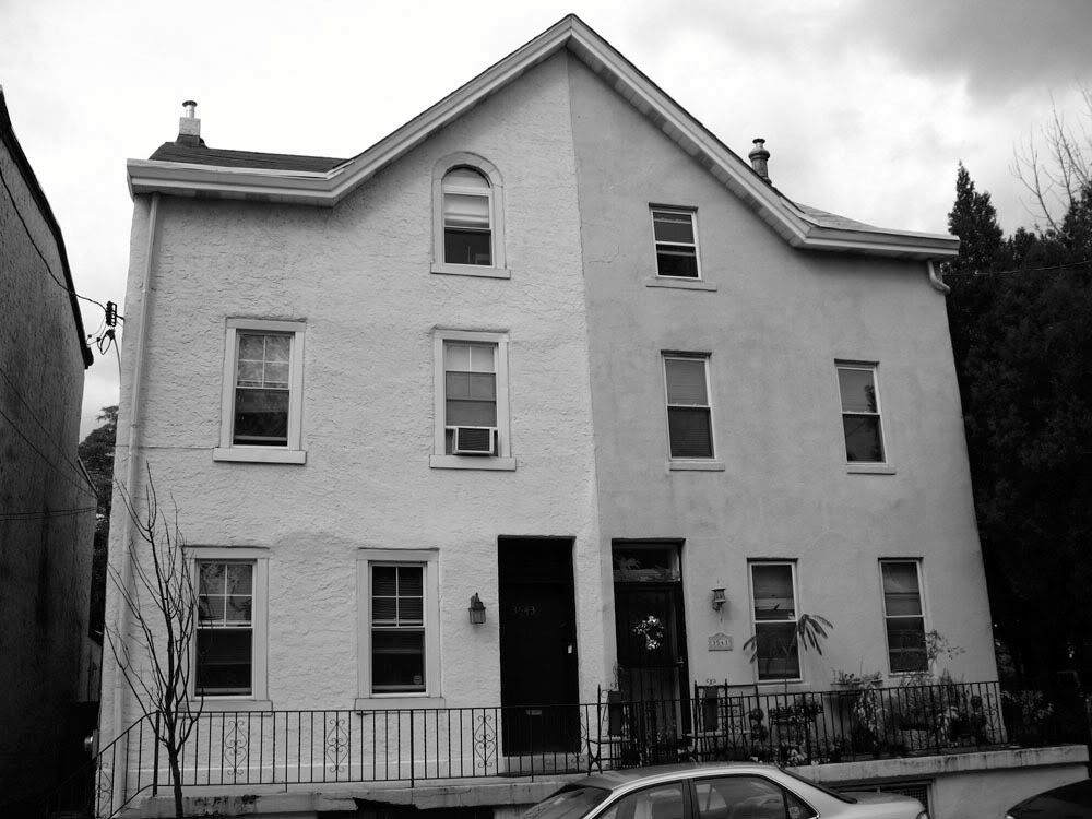
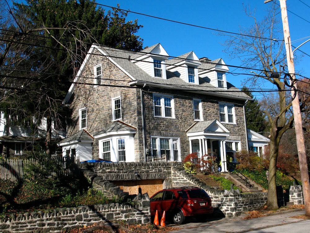
 3625 Indian Queen Lane (c. 1850) built as the parsonage of the Baptist church next door. Originally a two-story structure, the mansarded third story was added c. 1890.
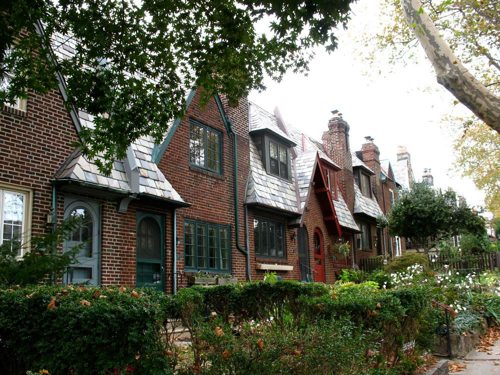
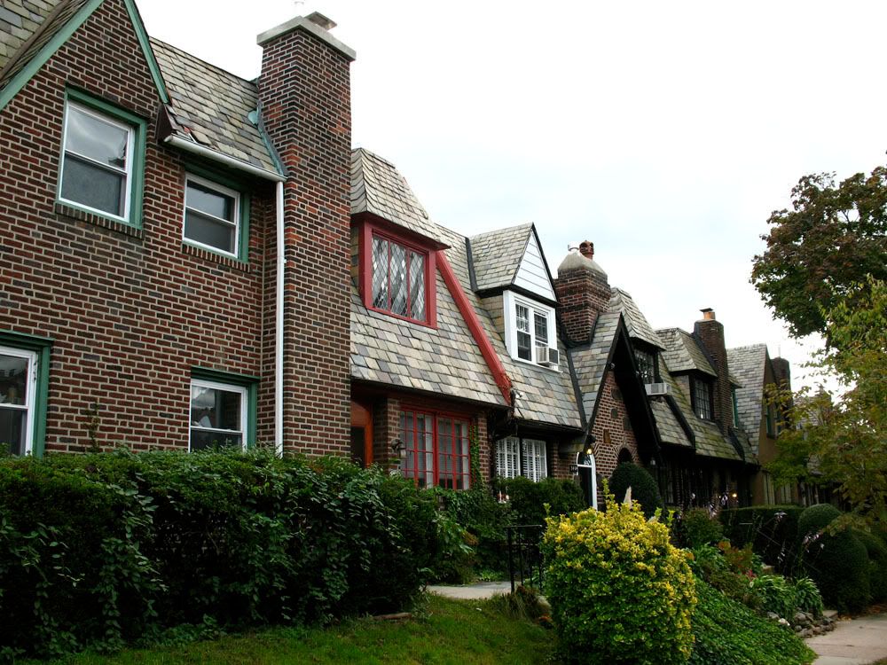
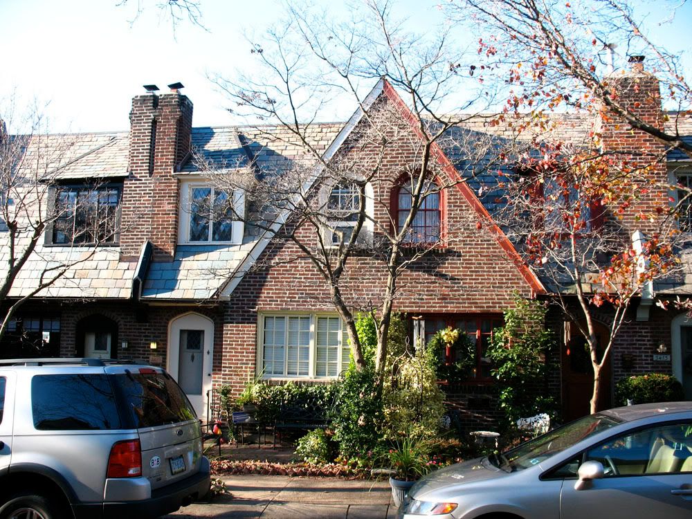
 3400 block of W. Penn Street, part of the Tudor Historic District.
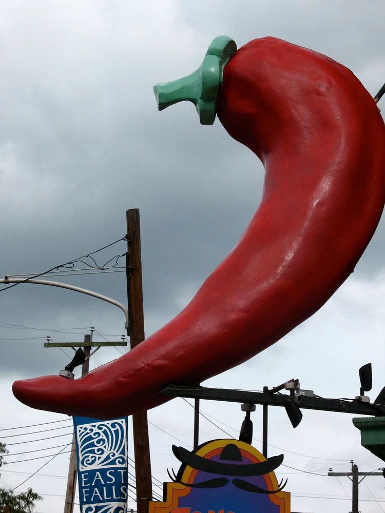
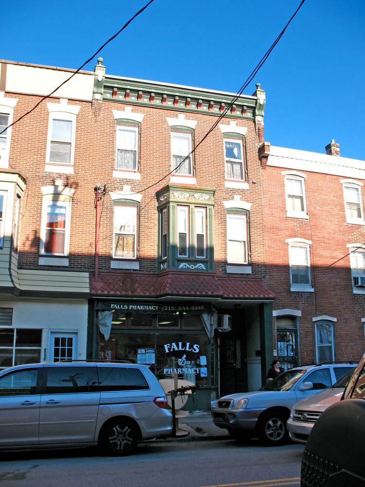
 Falls Pharmacy at 3421 Conrad occupying a lovely Victorian storefront.


 Prev
Prev


 Linear Mode
