Please if you are posting webcam images,
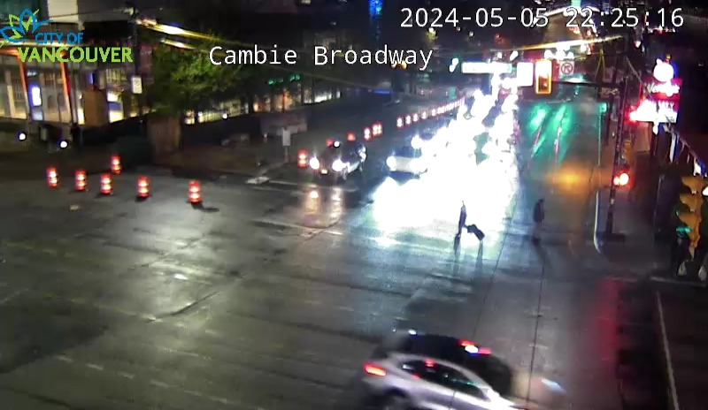
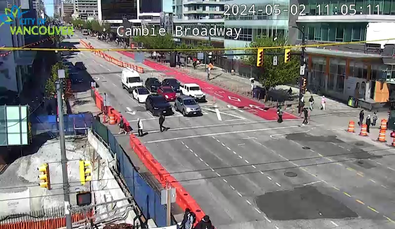
save the image and upload it rather than linking to the URL of the live webcam feed. There are so many posts in this thread with comments like "They poured some concrete" or "They moved some barricades" and all I see is the dark night-time view of the road as it currently appears at the time of reading.
It's not documenting the construction of the project if a bunch of that documentation always shows the current state and not what was actually happening during construction.






 Prev
Prev





 Linear Mode
