Broadway Subway - Millennium Line Extension to Arbutus | U/C


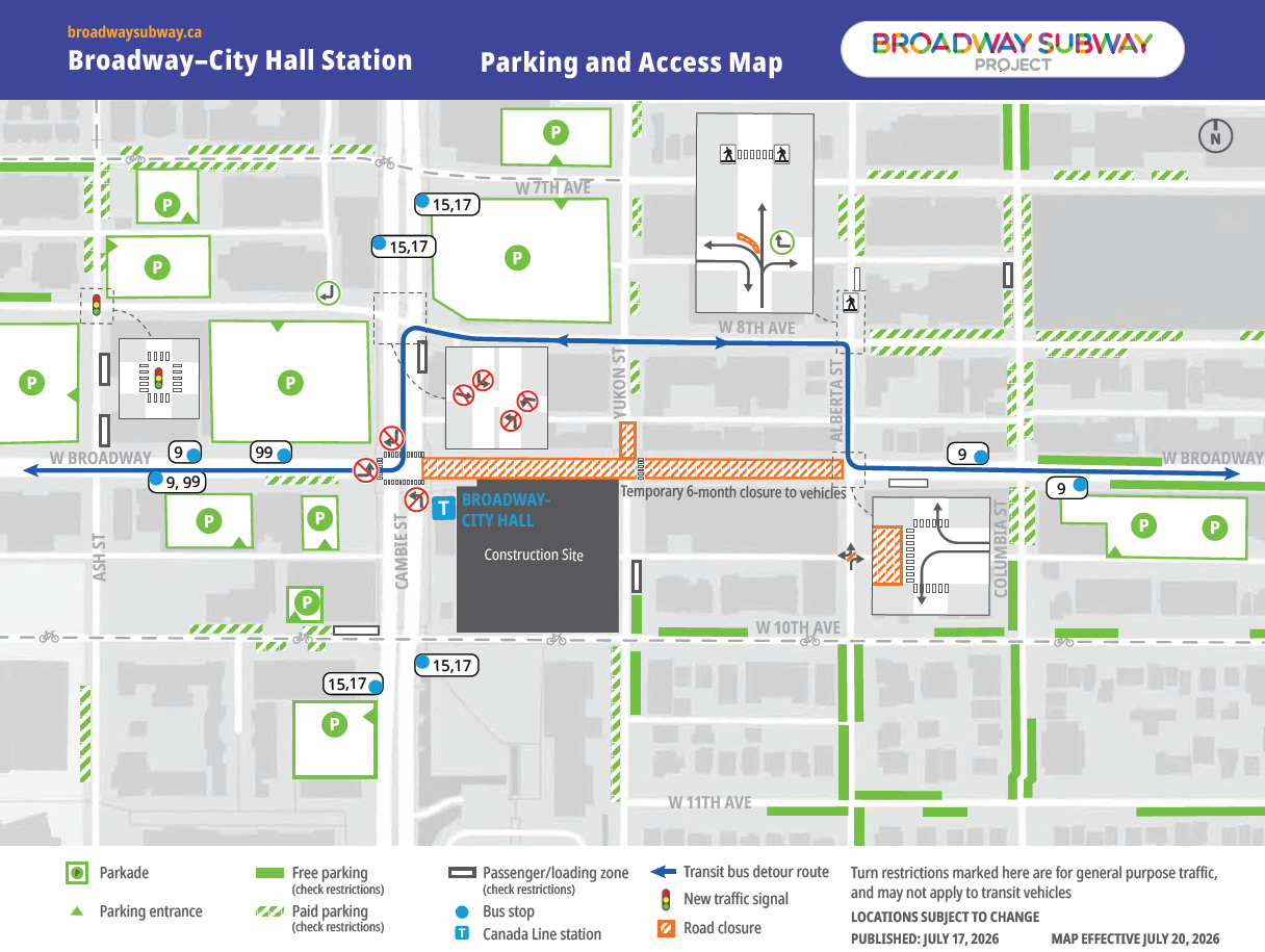
Looks like the buses are going to the Cambie as their N/S route between the detour instead of Ash.

https://www.translink.ca/schedules-and-maps/route/9/direction/1/map?pageSize=5

It's more clear with no cars on it but the centre lane is just for north bound buses as a priority lane to the 8th Avenue intersection and take a right?
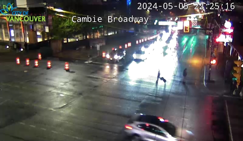
CambieNorth_Broadway.jpg


https://trafficcams.vancouver.ca/cambieBroadway.htm

EDIT: Dedicated left hand turn lane for buses onto Cambie south.
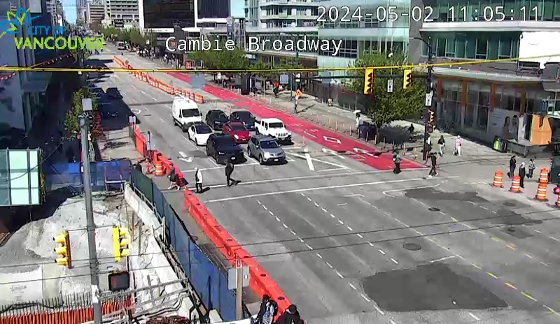
BroadwayWest_Cambie.jpg
 
Last edited:
Please if you are posting webcam images, save the image and upload it rather than linking to the URL of the live webcam feed. There are so many posts in this thread with comments like "They poured some concrete" or "They moved some barricades" and all I see is the dark night-time view of the road as it currently appears at the time of reading.

It's not documenting the construction of the project if a bunch of that documentation always shows the current state and not what was actually happening during construction. :gaah:
 
^+1


It looks like they're making a bigger effort this time at keeping the detour along 8th transit only.
 
Last edited:
^+1


It looks like they're making a bigger effort this time at keeping the detour along 8th transit only.

:rolleyes:

Might I suggest you take a look in person instead of what sounds like looking at a graphic? Bus-only and general traffic lanes are CLEARLY marked and painted on 8th IRL.
 
For anybody working or living in the area, I hope you like traffic cop whistles. They've been going almost non-stop since the carnival started.
 
Wow, they wasting no time removing the deck. I'm hoping to be able to fly my drone there later next week and capture the progress!
 
Looks like cars would use Ash, 8th and Alberta.
That map isn't very helpful for drivers, since they are not driving buses.
There should be another line on the map showing the preferred detour route for car drivers.
 
Looks like cars would use Ash, 8th and Alberta.
That map isn't very helpful for drivers, since they are not driving buses.
There should be another line on the map showing the preferred detour route for car drivers.

Cars cannot go straight through eastbound on 8th, per the map above.

I think the recommendation for cars is to use 2nd/6th or 12th and avoid the whole area.
 
I got caught in the shitshow. So heading east on Broadway towards Ash Street, I detoured left on Ash Street, then right on 8th Avenue, thinking I could get to Main Street, but the at 8th and Cambie, they had 2 lanes of East bound 8th Avenue traffic turn left onto Cambie, then everybody trying to turn right onto 7th Avenue, in order to continue east. There was a slow crawl of cars on 7th as far as you could see. I zipped down to 6th, then 5th, and made it to Main Street.

This set up is far worse than the previous detour at Main and Broadway.
 
No information on what's happening with the No Frills loading access.

They'll probably just have to unload on the street or alley and pallet/power jack the loads in off the street. It's gonna suck for those receivers at No Frills, but I don't see what else they can do.
 
I'd pay cash money to sit on a grandstand there, pounding popcorn down my gullet and being deafened by circus music, just to watch the traffic mess.

It's almost like watching theory, ideology and policy being crammed into a real-world setting. Entertaining to be sure, but oh the humanity!
 
I went through the intersection on a #99 mid morning. Absolutely no hold-ups, and very light car traffic on Broadway (so the word has already got round).
 
It's actually a lot faster (relatively) and smoother than one would have expected it to be.

Certainly compared to the Main intersection street closure ,....and maybe in anticipation that it might have been a gong show with the increased pedestrian traffic at the relatively busier Cambie corridor.

Maybe it's just that people got the message early doors and everyone's on song from the off.

The traffic cops they have guiding the traffic there certainly do seem to be helping things move along more swiftly and I wonder if they'll use them for the entire 6 month duration or if it's more a thing for just the first month or so until everyone gets used to it and they can run the rest of the way on autopilot.

Is the plan to increase the footprint of the above ground station (to accommodate more foot traffic) or are they just going to use it as is and make the connection below ground?
I imagine it helps with this station and the South Granville station that the above ground portion and station entrance is already more or less built and they don't have to build it from scratch.


Back
Top