Early morning flight out of Buffalo last week caught some good views.
View from over Buffalo's East Side Broadway-Fillmore neighborhood, looking up Broadway southwest toward Downtown, Lake Erie, and Canada.
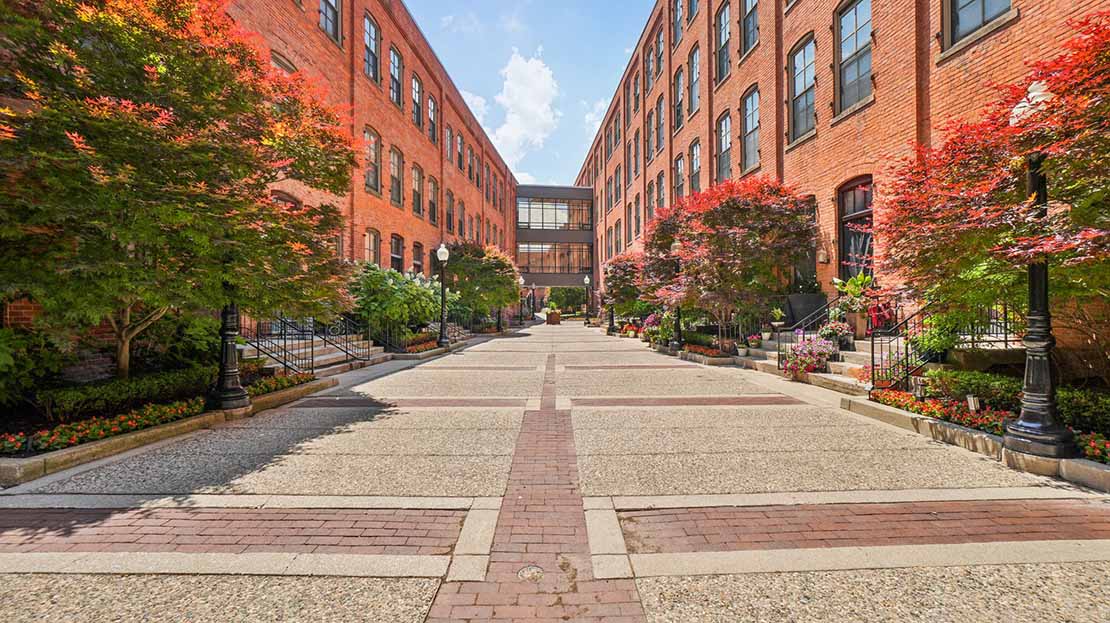
You can see the higher building density along Broadway-Fillmore, which at one time had the highest population density in the city, but was then hurt by the largest population loss percentage in the city, in some blocks over 80%. Many empty lots remain in the neighborhood, but it is now slowly infilling with new residents, with remaining homes nearly fully occupied with some new housing being constructed. In the last 50 years the neighborhood transitioned from majority Polish, to African-American, and now South Asian with dozens of new businesses filling Broadway and a few other commercial areas.
To the left is the Buffalo Central Terminal, which has been undergoing a slow multi-million dollar stabilization, restoration and renovation of the main building and grounds. No billion-dollar donors or sponsors like Detroit's station, so it's inching along. When the station opened in 1929 it had 200 trains and 10,000 passengers per day, but closed in 1979. Buffalo's 2 stations today now see just 8 passenger trains per day (4 in each direction).
Background is a good view of Canada's north shore of Lake Erie, and the transition of the lake into the Niagara River. I believe that white area in the upper far right is Port Colborne Ontario, and the entrance to the Welland Canal. The opening of the St. Lawrence Seaway and the canal allowed ships to bypass Buffalo, which effectively killed the Port of Buffalo's main reason for existence in the late 1950s. At the start of the 20th century Buffalo had been the 6th busiest port
in the world, and today it doesn't even reach the top 10 on the Great Lakes.
 Buffalo From the Air
 by
bpawlik, on Flickr


 Prev
Prev


 Linear Mode
