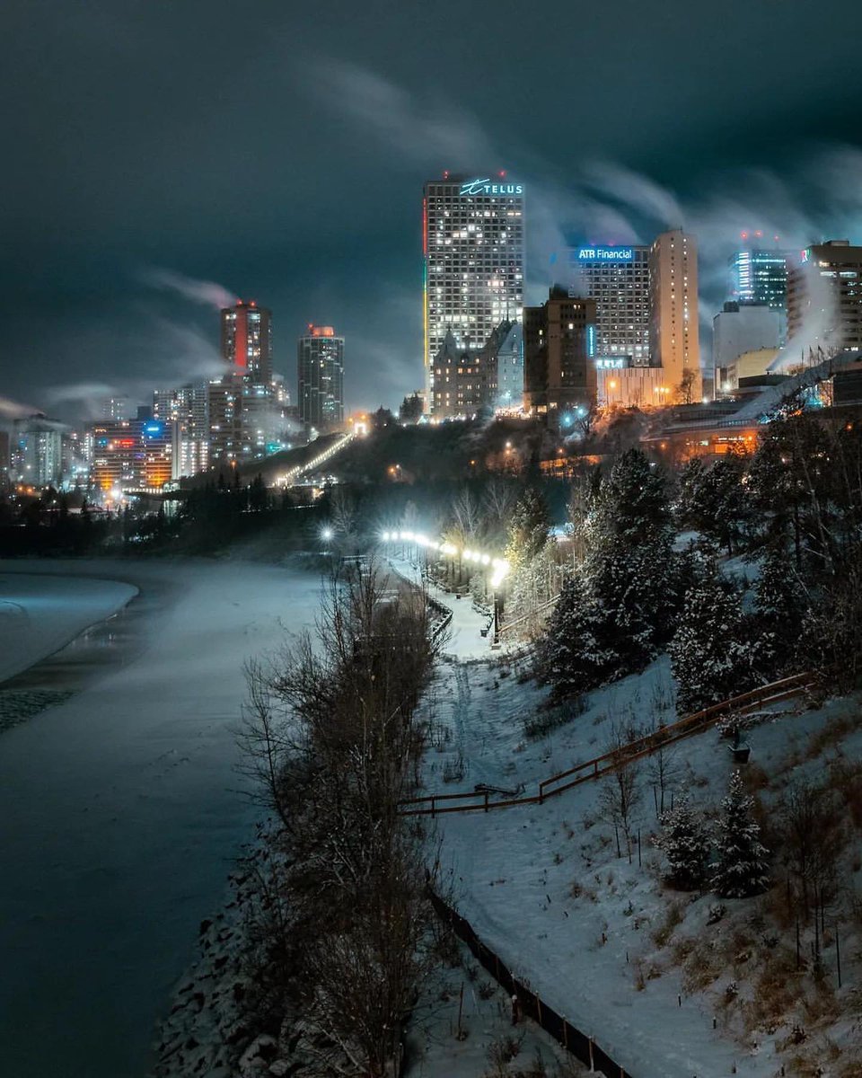
Great lighting and icy cold mood in that Edmonton river pic, nice

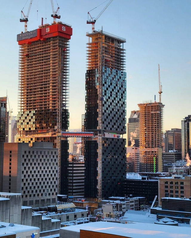
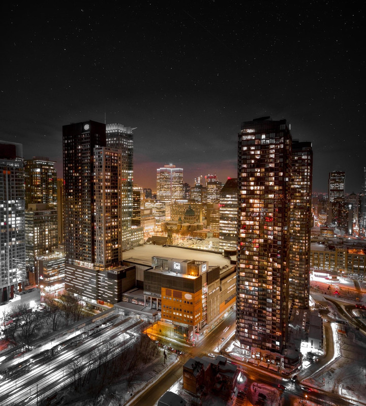
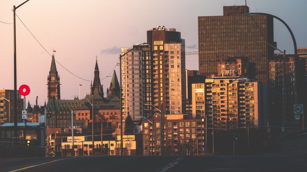
Did a fair bit of photography in January, posting some of the skylines one here and will post others in the photo thread tomorrow. Also I noticed when I accidentally opened up the Apple Maps app (does anyone use that?!) that they have added 3D satellite pics for Victoria and they are very recent. Looking at the construction sites only a few months old, cool. The quality is somewhat terrible, but nice to get a better aerial view of the skyline that is up to date as Google hasn’t updated there imagery in several years for Victoria.
From what I can tell Victoria, Calgary, Vancouver, Montreal and Toronto now all have 3D satellite imagery in Apple Maps. Hopefully they add more cities soon and improve the quality.
My pics to start, taking on the Johnson Street bridge looking across to Dockside Green development and the Point Hope Shipyard.
 Point Hope Shipyard. January 23, 2023
 by
JohnnyJayEh, on Flickr
 View from Yates Street Parkade - January 23, 2023
 by
JohnnyJayEh, on Flickr
 View from Yates Street Parkade - January 23, 2023
 by
JohnnyJayEh, on Flickr
 View from Yates Street Parkade - January 23, 2023
 by
JohnnyJayEh, on Flickr
Now some Apple Maps 3D shots. Should be a huge increase in density within Victoria based on approved proposals in place, and a new city council that no longer seems determined to limit height below 20 storeys, combined with the fact they’ve just upzoned every lot in the city to allow 6 units.
 Apple Maps 3D satellite pics of Victoria
 by
JohnnyJayEh, on Flickr
 Apple Maps 3D satellite pics of Victoria
 by
JohnnyJayEh, on Flickr
 Apple Maps 3D satellite pics of Victoria
 by
JohnnyJayEh, on Flickr
 Apple Maps 3D satellite pics of Victoria
 by
JohnnyJayEh, on Flickr
 Apple Maps 3D satellite pics of Victoria
 by
JohnnyJayEh, on Flickr
 Apple Maps 3D satellite pics of Victoria
 by
JohnnyJayEh, on Flickr
Old school apartment density!
 Apple Maps 3D View of Victori
 by
JohnnyJayEh, on Flickr
Lastly image of the monstrous UVic residence buildings completed this fall - UVic is located in the top middle of the bottom picture, just up the hill from Cadboro Bay Beach. I had a few beach parties then during the university days, much to the chagrin of neighbours..
 Apple Maps 3D satellite pics of Victoria
 by
JohnnyJayEh, on Flickr


 Prev
Prev


 )
) 


 Linear Mode
