Took a walk on South St. Mary's Island and Whitefish Island and was surprised by how much water there was.
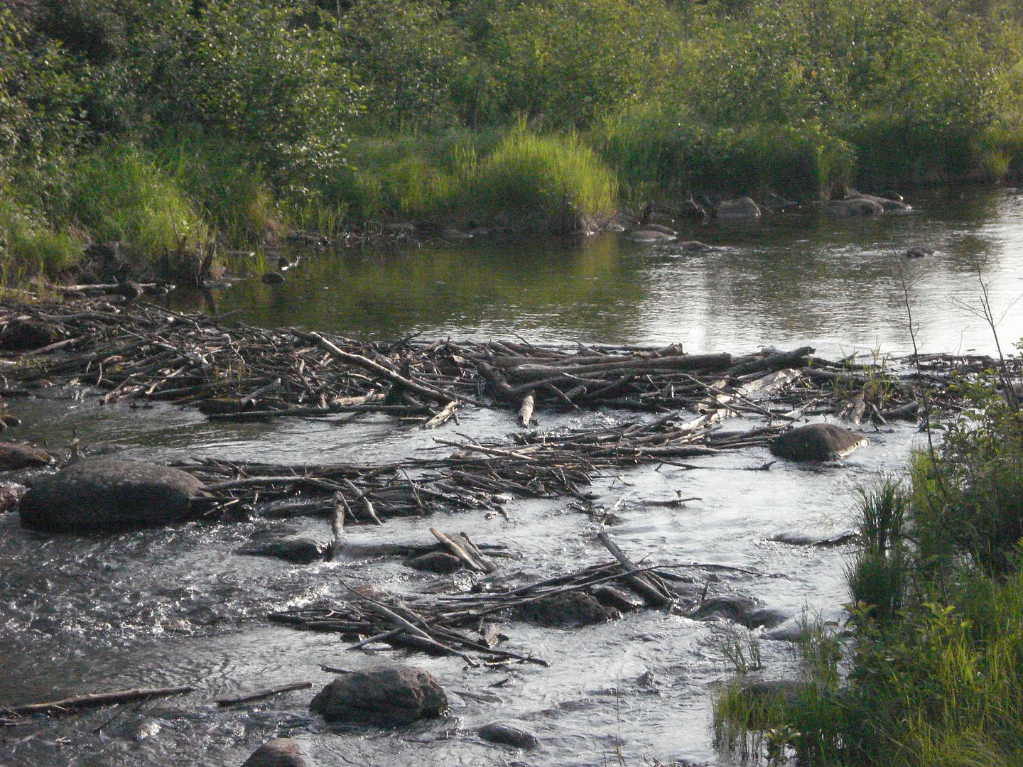
Not even the Beaver dam could hold back all the water.
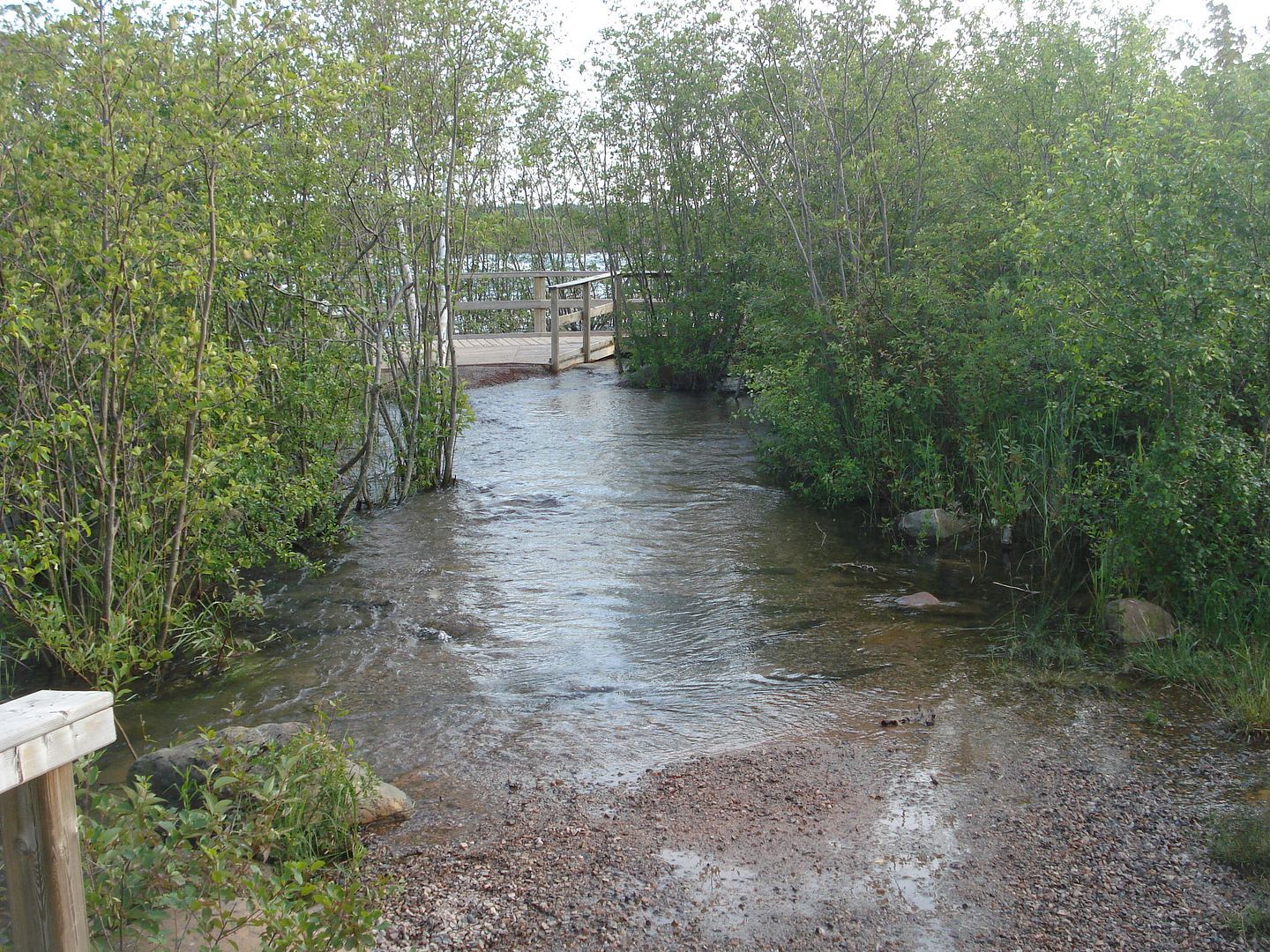
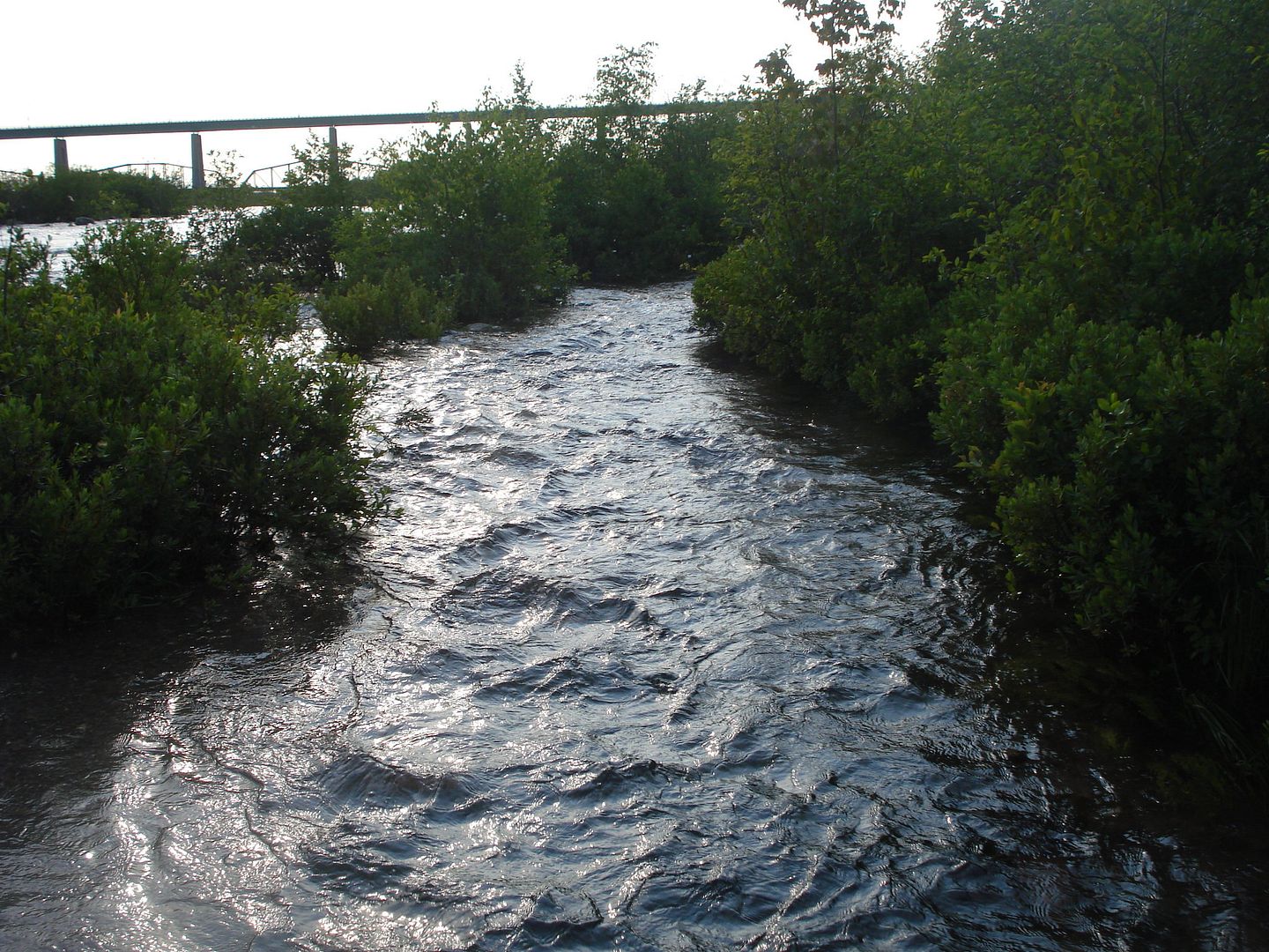
Our path appears to be flooded.
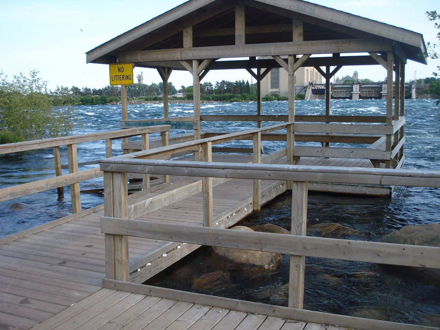
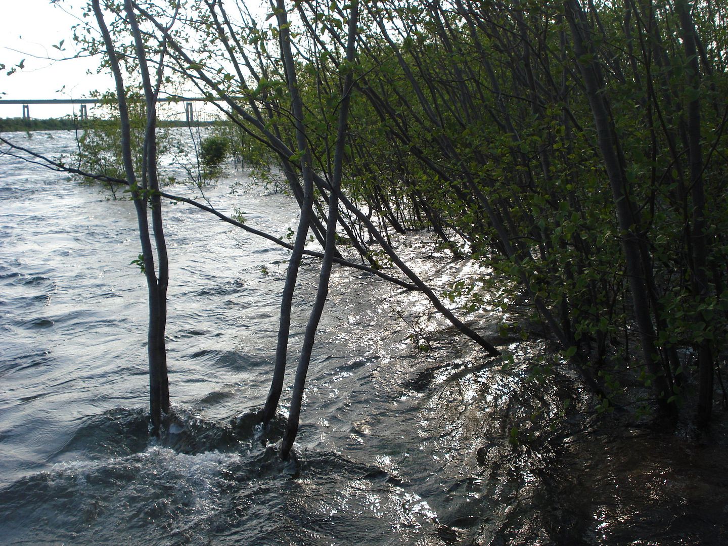
Last year this building was on dry gorund and now there is over a foot of water under it.
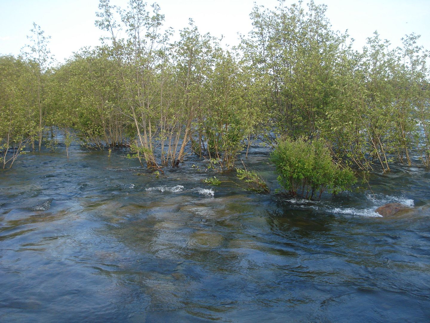
What was once dry ground is now a raging river.
Hydro dam in Sault Michigan powers the Sault Canal and the eastern half of the Upper Peninsula.
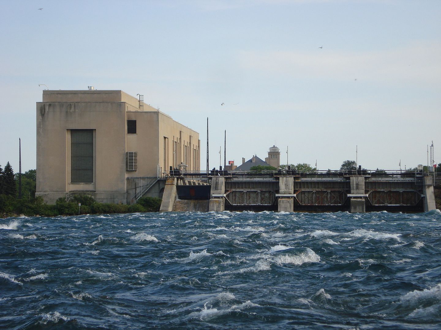
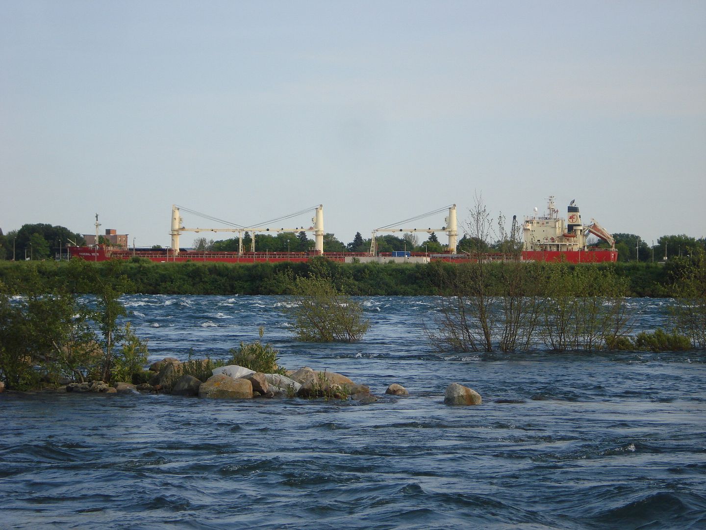
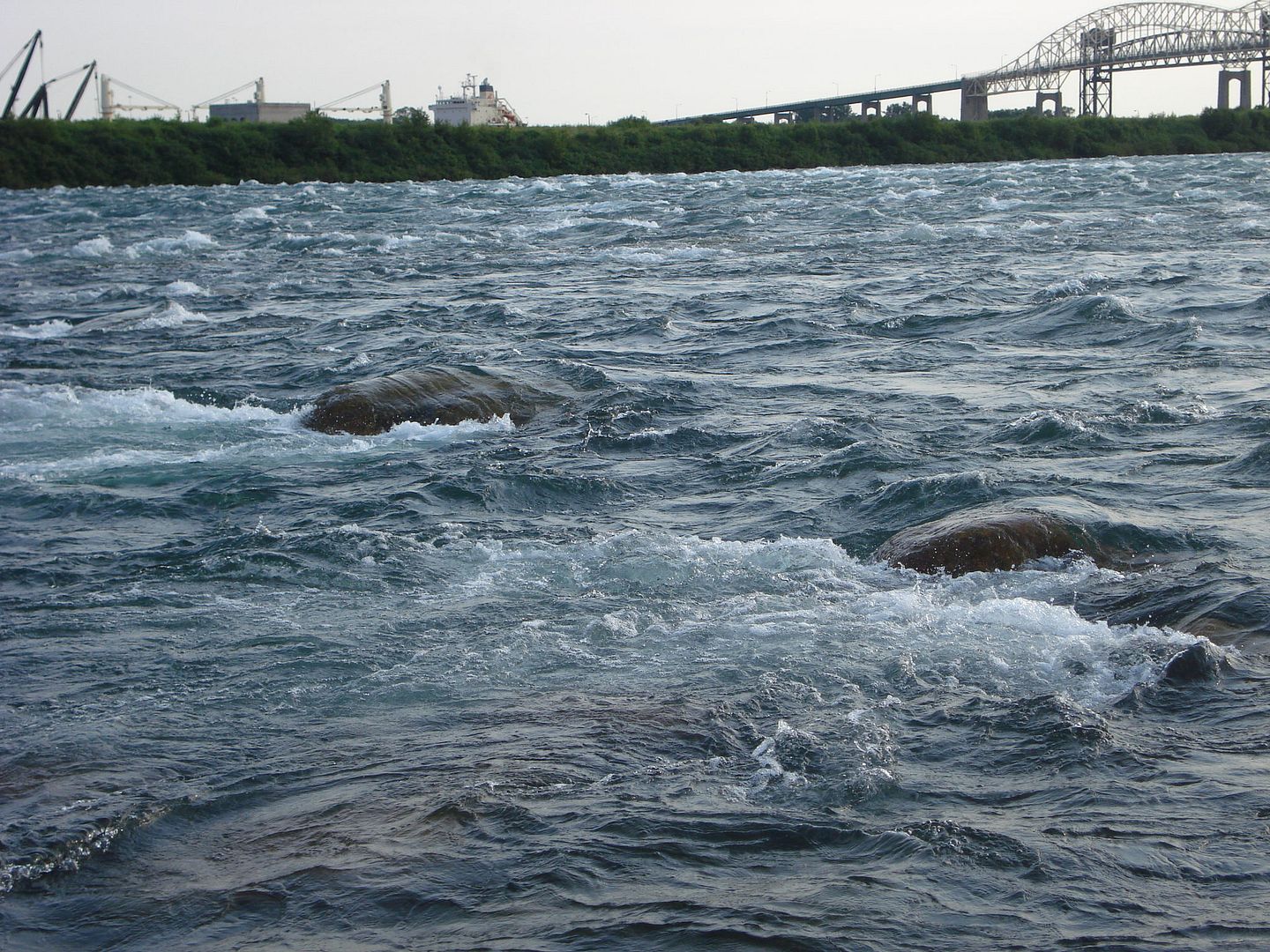
Niagara River has the Niagara Falls and the St. Mary's River has the St. Mary's Rapids.
These trees look a little wet.
The water from the rapids is spilling onto the island.
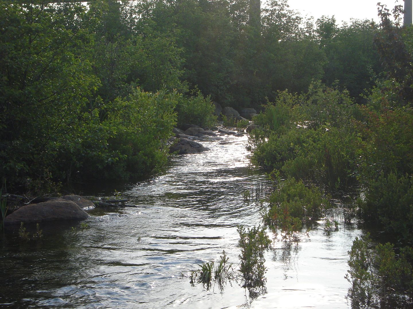
Our trail is now a river.
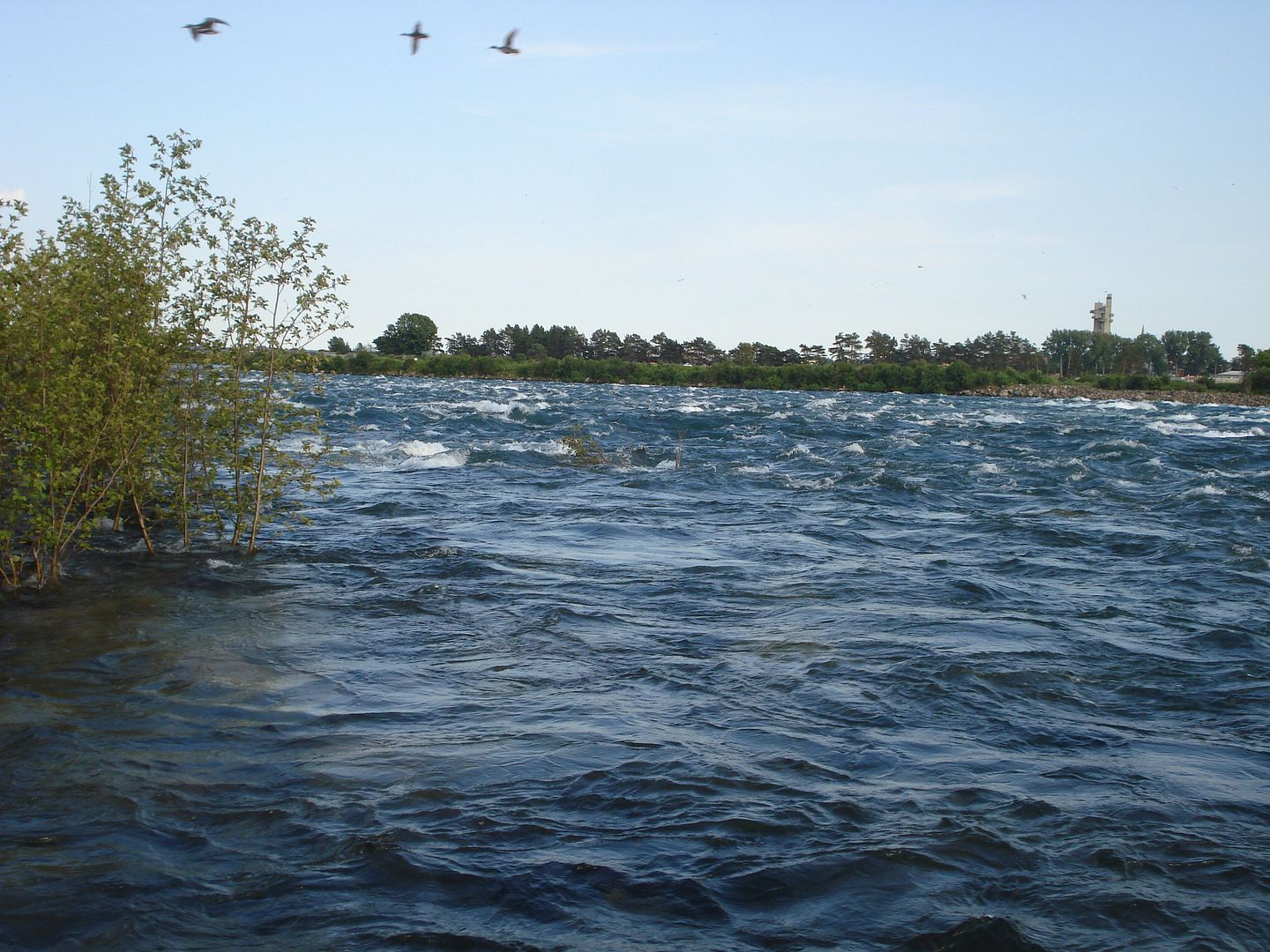
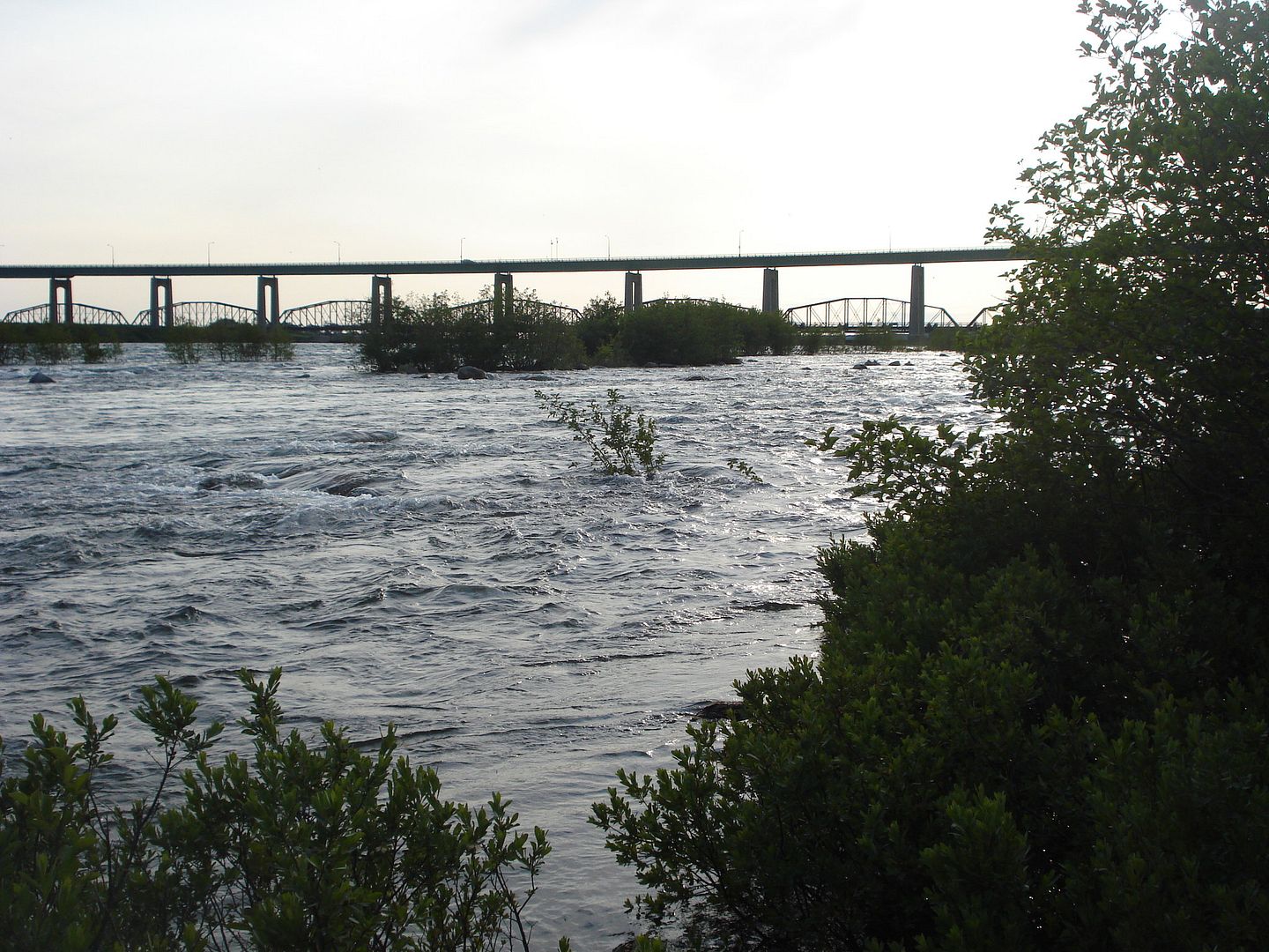
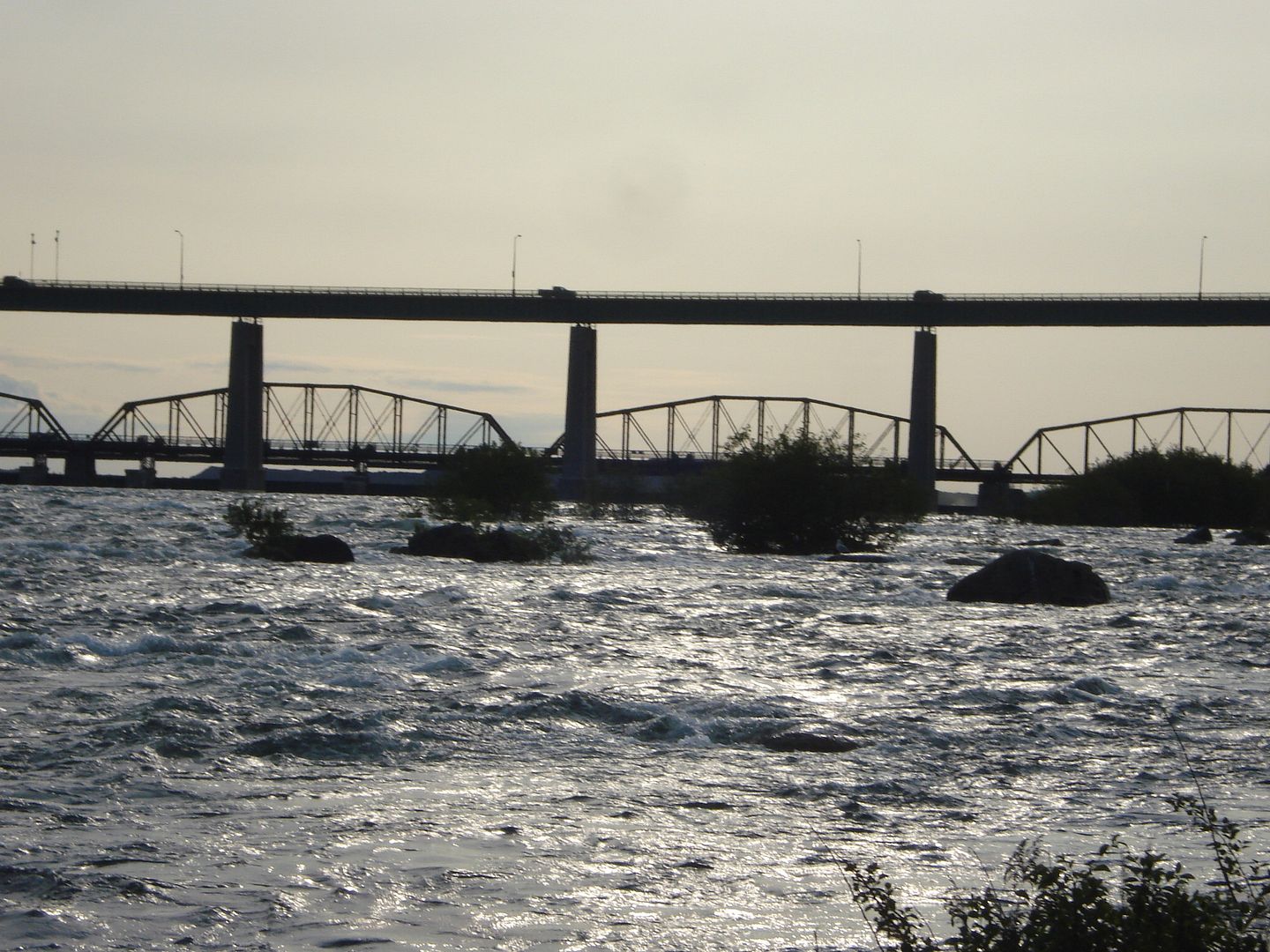
Some pictures of the rapids. There is a concrete barrier that divides the rapids from the islands but the water is so high that it's just flowing over it.
Usually you can see lots of rocks in the rapids because it's not very deep but this year only a few large rocks can be seen.
Pictures by me.


 Prev
Prev


 Wow, impressive stuff. You should post 'em at a bigger size.

 Linear Mode
