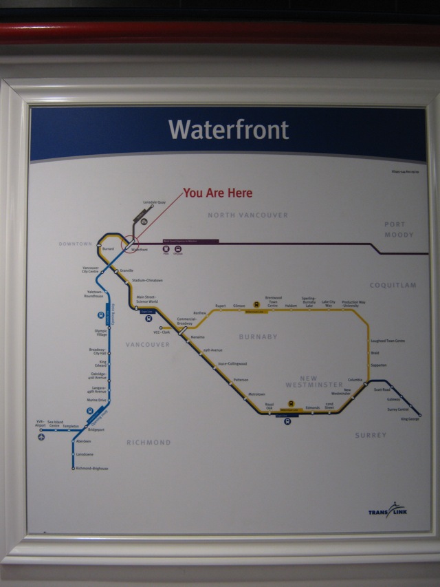
Most maps I've seen for subway and transit stops are ones that do show the whole route (which they've done - basically sketch-like, geographical details escaping them

).
But the best ones I've seen also incorporate a separate map that shows the streets and parks and significant landmarks for the surrounding neighborhood of that specific station.
The ones in DC included concentric circles to indicate distance from the stop out to a 1/2 mile or so (though the map showed further), just to give you a sense of how far you'd be going from the station to nearby destinations - or to locate other stations nearby if they were close enough.
I can't see that it would require much thought or effort to produce those type of maps for the Canada Line. I find myself hoping these are just the initial maps to get the lines ready for opening.
In a basic sense these work. But they could provide so much more info with minimal effort.





 Prev
Prev











 Linear Mode
