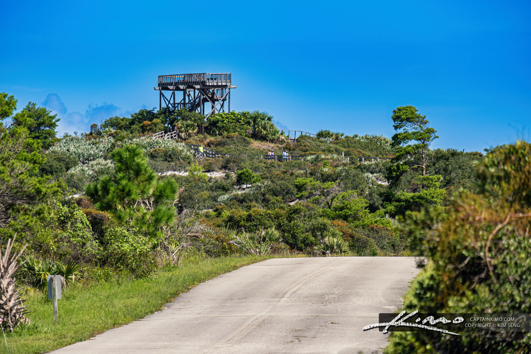
Toronto's elevation ranges from 76.5 meters (251 feet) at the shoreline of Lake Ontario to 212 meters (695) feet) at the city's highest point, on a playing field at York University just southwest of the intersection of Keele Street and Steeles Avenue West.
__________________
The whole problem with the world is that fools and fanatics are always so certain of themselves, and wiser people so full of doubts. (Bertrand Russell). Sweet Loretta fart thought she was a cleaner, but she was a frying pan. (John Lennon)
Toronto's elevation ranges from 76.5 meters (251 feet) at the shoreline of Lake Ontario to 212 meters (695) feet) at the city's highest point, on a playing field at York University just southwest of the intersection of Keele Street and Steeles Avenue West.
Thanks, added both Montreal and Toronto!
__________________
"Two roads diverged in a wood, and I—I took the one less traveled by, And that has made all the difference."-Robert Frost
Yeah, its rank is a bit surprising, but being hilly or not, in and of itself, doesn't have much to do with it.
It's just that Baltimore's lowest point is sea level and its elevation gradually increases... probably like 100' per mile, so you notice that you're going uphill, but nothing dramatic at all... as you move away from the coast. It's the same with DC and Philadelphia (Cleveland too... though with lake level, obviously).
Philly, Baltimore, DC all sit on the Atlantic Seaboard Fall Line so they are all relatively flat on the south side of the fall line and then become deceptively hilly as you go north of it.
Baltimore's isn't West Coast or Pittsburgh steep but theres significant elevations changes in the northeast half of the city near where rivers carve through and signficant hills in and around DT. Bellemore Road for example climbs 268' in 0.8 miles.
Last edited by Notonfoodstamps; May 29, 2026 at 7:33 PM.
This reminded me of how Tennessee's sad little state capitol building sits atop a bluff but the neighborhood around it was demolished in the 1950s-1960s to build the idiotic "Capitol Mall", a sort-of expressway bypass, and surface parking for the state offices. For a city with almost no historic areas to begin with, this decision was a disaster.
This reminded me of how Tennessee's sad little state capitol building sits atop a bluff but the neighborhood around it was demolished in the 1950s-1960s to build the idiotic "Capitol Mall", a sort-of expressway bypass, and surface parking for the state offices. For a city with almost no historic areas to begin with, this decision was a disaster.
The City of Vancouver's highest elevation is Queen Elizabeth Park, at 125m (410 ft) above its lowest point (that being...sea level) - slightly less than Toronto, despite having hillier topography overall. Now, Metro Vancouver would be another matter of course, with the highest point being 1,990m (6,529 ft) above sea level.
The highest point in Miami, a random incline in Coconut Grove is actually the highest point overall in all of Miami-Dade County (an area bigger than Rhode Island). The highest point in Broward County is the Pine Island Ridge at 29 feet above sea level.
But the highest point in "South Florida" is majestic "Mount Hobe" in Jonathan Dickinson State Park between Jupiter and Port St. Lucie where old dunes rise up to a whopping 86 feet above sea level (in the CSA but not the MSA).
A great mountain bike course doesn't require much elevation change. I saw a video on this course about 5 years ago and it looked pretty good, although biking in Miami's extreme midday heat seems pretty rough.
This of course contrasts sharply with Whistler, which is near Vancouver, and is typically considered the top downhill mountain bike course in the world. Hardcore hobbyists try to travel to Whistler at least once per summer.
That is sad. Not a lot of capitols sit in the middle of a residential neighborhood but Utah's does - in the (as I said) Capitol Hill Neighborhood:
Kentucky's capital city of Frankfort is tiny - maybe 20,000 people - but the setting is hilly and quaint. The capitol building itself is among the best in the country (definitely better than bordering Ohio or Tennessee) and it's in the middle of a modest neighborhood that overlooks Frankfurt's downtown.
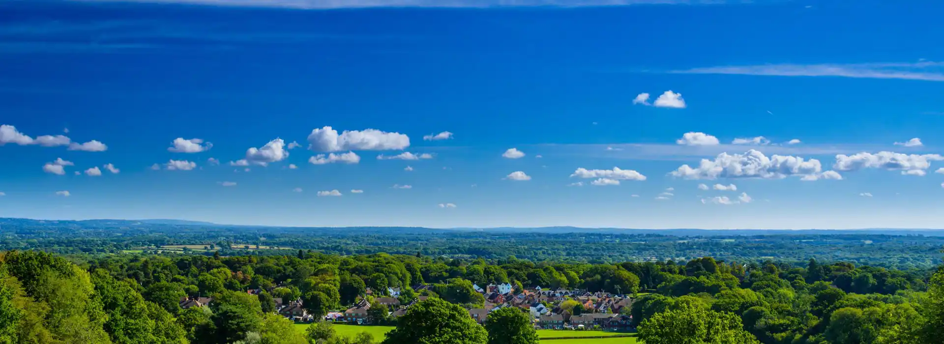
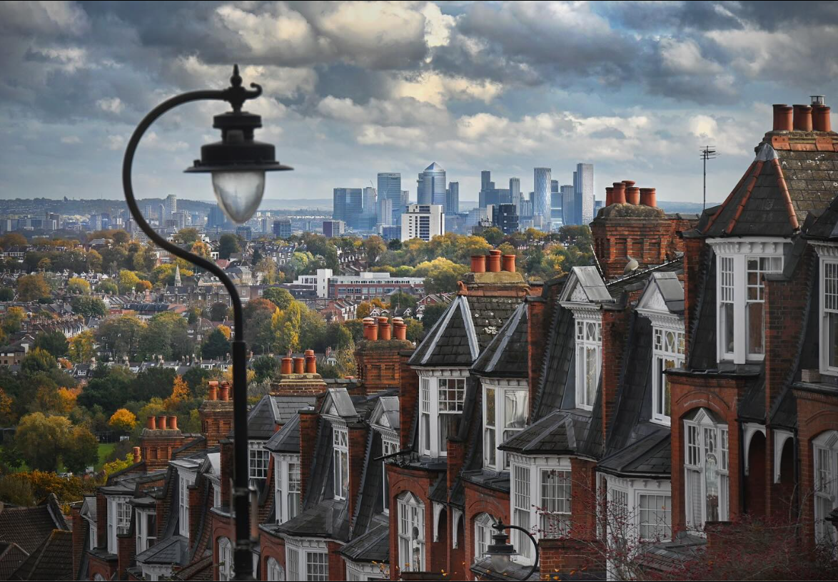
London's highest point is Westerham Heights, about 800ft above sea level (the Thames)
It's the start of the North Downs, a region of gently rolling hills, quaint villages, and an AONB (Area of Outstanding Natural Beauty), which very much looks like The Shire in Lord of the Rings.
For San Diego the elevation gap is 1591 feet (Sea level to the top of Cowles Mountain), not the 823 feet shown. 823 feet looks to be the elevation of Soledad Mountain in the La Jolla neighborhood, which is the highest point along the coast.
Philadelphia's high point is easy to find, as the street at the top of Chestnut Hill in the northwest section of the city is aptly named Summit Ave. Most notably, the city sits directly on the Atlantic Fall Line, which straddles the coastal plain and the Piedmont Plateau. A number of U.S. cities were built directly along it, including Baltimore and DC.
Cincinnati has many similar hillside staircases and had five inclines until the last one was torn down in 1947. The big difference between Cincinnati and Pittsburgh inclines is that the Cincinnati streetcars traveled on the inclines as part of their regular routes:
Obviously, tearing down the last incline in 1947 and not keeping it as a tourist attraction was a giant mistake. They could have kept its streetcar line running too, just like in New Orleans, without it being a big point of conflict because it didn't travel through a busy part of town.
Pittsburgh had larger inclines for trucks, street cars and horse and carriage. The Monongahela Incline originally had side by side inclines for individuals and vehicles.
This is the most elevated house in the city, 5,930 ft above sea level, at the end of a neighborhood called Petite Savoie ("Little Savoy", named after the Alpine French province). Google Map says it takes 45 minutes of driving to reach the sea-level (and downtown St Paul) from that house.
Pittsburgh had larger inclines for trucks, street cars and horse and carriage. The Monongahela Incline originally had side by side inclines for individuals and vehicles.


 Prev
Prev


 '
'


 Linear Mode
