Quote:
Originally Posted by Engineeral

|
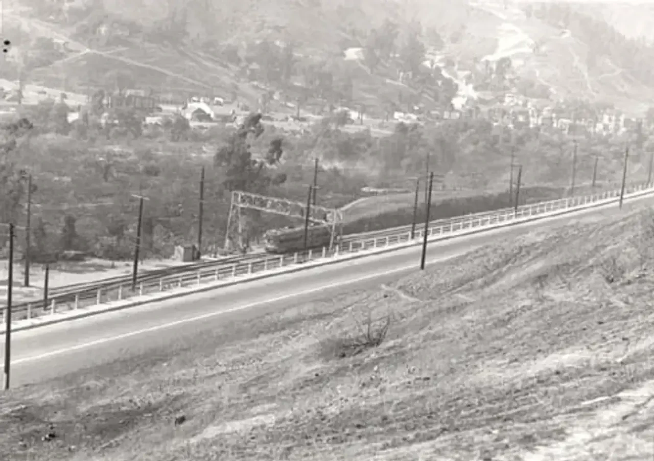
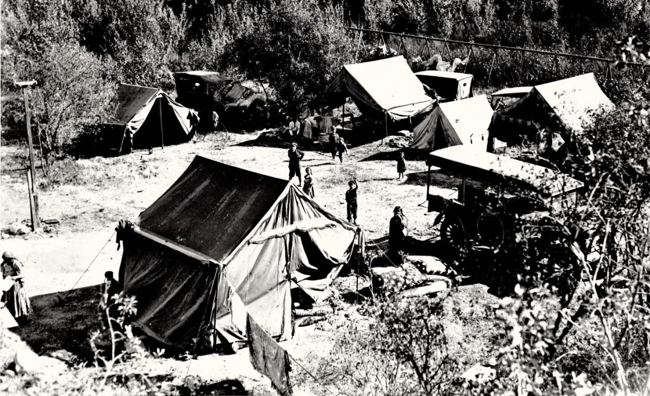
Going back through all of that material, one of the aerial images(1938) totally threw me. The PERy line seem to transition from two tracks to four right alongside the area approaching the alleged reservoir face. I thought the area known as Indian Village, where the 4-Tracks district began, may have been a bit further north above Broadway. But then seeing the mention of an “Indian” witness in the 1912 lawsuit over the reservoir lands ownership makes me wonder if this is actually the old Indian Village site. Since their are later photos where the four rails began, it seems possible that the lone signal above the car camp was then replaced by the bridge-type signal structure. (The earlier aerial from 1927 is harder to read and makes it look like this was all 2-rail territory.)
As to where the water came from to fill Reservoir #5, the ditch lines noted on the 1880’s maps seem to be what was called East Lake Ditch that carried water all the way from the L.A. River over to East Lake Reservoir (aka R. #5). Is that all correct? Tender Mulholland must have really had his work cut out for him if he had to shovel out a ditch that long!





 Prev
Prev











 Linear Mode
