Here are the Oxford Avenue homes on the 1921 Sanborn Map:
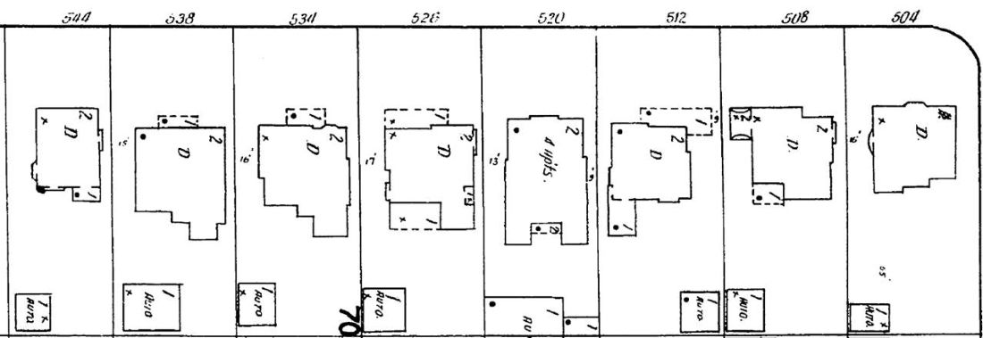
ProQuest via LAPL
This is the whole block:
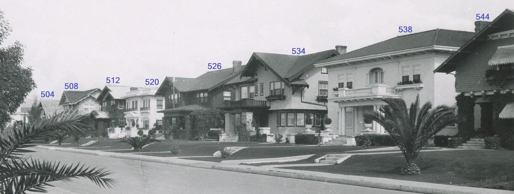
"Residential Street, Los Angeles" @
UCLA
504 moved to 641 E. Imperial Hwy 1953 but then torn down 1962
508 built 1912 - demo 1957
512 demo 1957
520 built 1915 - demo 2008 (as daycare center; partially visible at center in front of the brick building in this
July 2007 GSV)
526 demo 1930
534 demo 1986
538 built 1912 - demo 1965
544 demo 1962
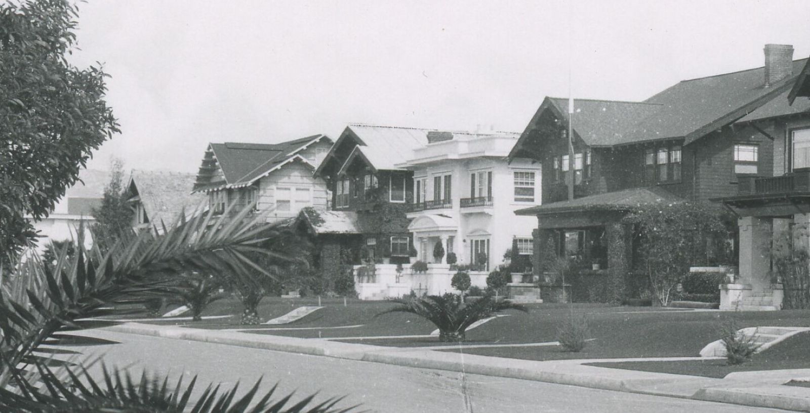
Here is a closer look at 504, 508, 512, 520, and 526:
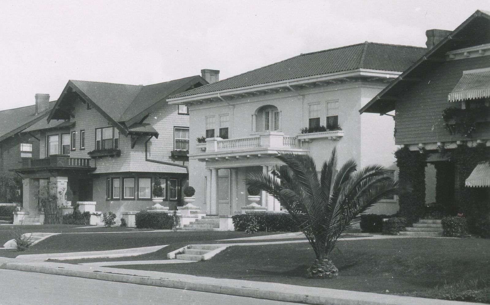
The same for 534, 538, and 544:
The Sanborn Map was off in a few details so I wasn't 100% sure the photo showed the 500 block of Oxford until I came across this 1926 shot of 534:
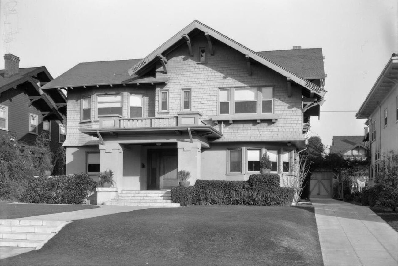
UC12187807 @
USC Digital Library
What is that on either end of the gable . . . just a decoration?





 Prev
Prev




 : shrug :






 )
)


 Linear Mode
