Quote:
Originally Posted by Chronamut

A lot of the old stream locations actually show up on the old hamilton maps if you know where to look.
|
I posted one a while back. Can't seem to find it!
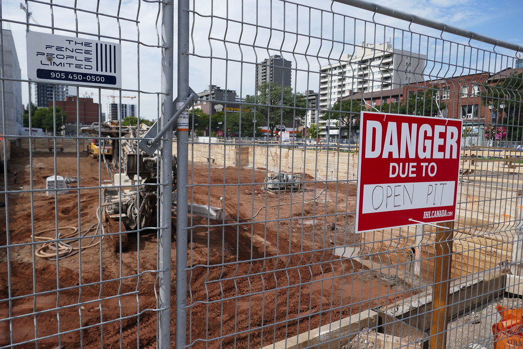
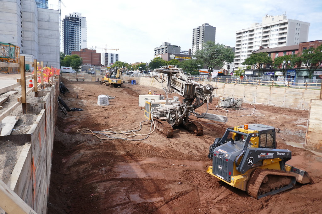
But before people were aware of environmental impacts a lot of those water courses were filled in with whatever was on hand -- earth, wood, gravel, waste. Then successive coverings happened over the decades.
So it's an issue, but not insurmountable. I found
this report (PDF) related to the LRT, which notes that the lower city bedrock is mostly Queenston shale, in some places more than 5 metres below surface grade, but that gets lower west to east. Some sites are deeper (Cathedral Park, where the eastern parts of the bridge over the 403 will be built). So there is stable footing below, it seems. But if there's water flowing, the engineering needs to account for it.


 Prev
Prev


 Hybrid Mode