Quote:
Originally Posted by matty14

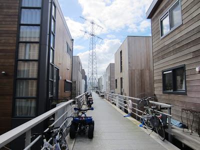
Love this idea. Unfortunately it would require the complete dismantling of the NCC. They would NEVER allow development in their beautiful grass fields bisected by their precious urban expressway. Which is unfortunate, because is there a more dank and unwelcoming waterfront than the Ottawa River between Bayview and Dominion?
|
Actually yes: the Ottawa River between Pinecrest Creek (Britannia treatment plant) and Dominion. As I wrote, it's virtually all artificial, other than a few natural shoreline remnants like the picnic area just west of Woodroffe. In some places you can find chunks of discarded concrete making up the riverbank*.
Westboro Beach and Kitchissippi lookout could do with a refurb of their own, starting with clearing brush around the old Skead's Mill ruins and then removing those damned bunkers to replace them with something more fitting.
At least most of the waterfront downstream of Westboro Beach is natural, and some of it, like in the vicinity of Remic Rapids as far as Parkdale, is quite welcoming in its natural state. The Remic Rapids area just inland definitely has a lot of development potential, along with Tunney's Pasture, but that's one bit of shoreline I wouldn't dare touch.
From the Lemieux Island access to the Chaudière Falls the waterfront is fill again, or mainly so, but that's probably a difficult bit of shoreline to use for anything, especially Lemieux Island to the aqueduct inlet.
*As an aside, it's for this reason (and that an expressway/busway already runs there) that I just can't get too excited about the notion of light rail "ruining" the Parkway. I don't think it's the best place to run it for other reasons, but that argument against it always struck me as supremely absurd.


 Prev
Prev


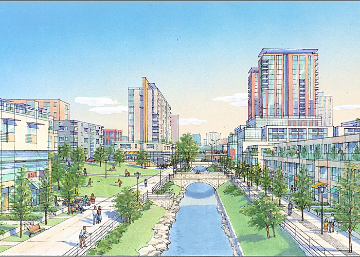

 Nice, but still a little too green and sterile. Water level there is stable and regulated, that they can get people much closer to the water edge, like in San Antonio:
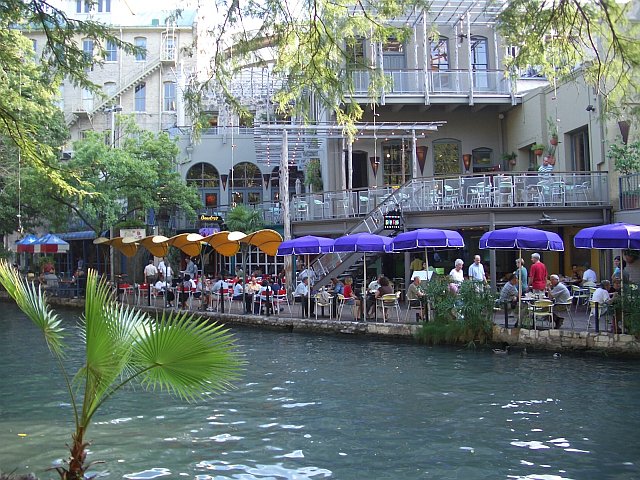


 Linear Mode
