Quote:
Originally Posted by Noircitydame


I was looking for the Sunset Fields public golf course in HossC’s pictures of the Crenshaw-Santa Barbara shopping area but it was already gone. It closed at the end of May 1947 just a few months short of its 20th birthday (It opened Labor Day, September 2, 1927). It had already lost 9 holes when The Broadway-Crenshaw leased space in October 1944 for the store that opened in 1947.
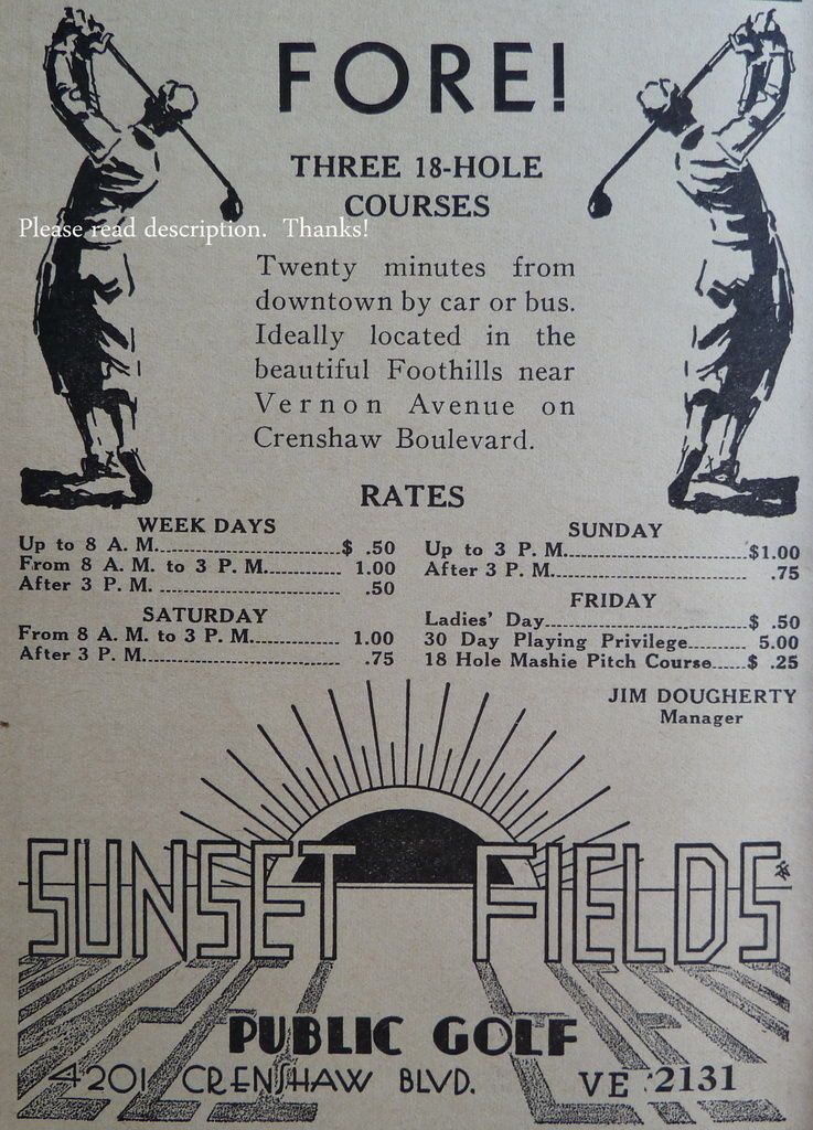
1930s ad for the course, then 18-hole. It later grew to 36. Address was 4201 Crenshaw Blvd. at that time.
 ebay ebay
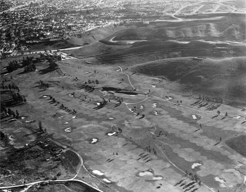
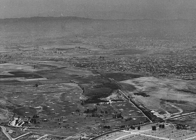
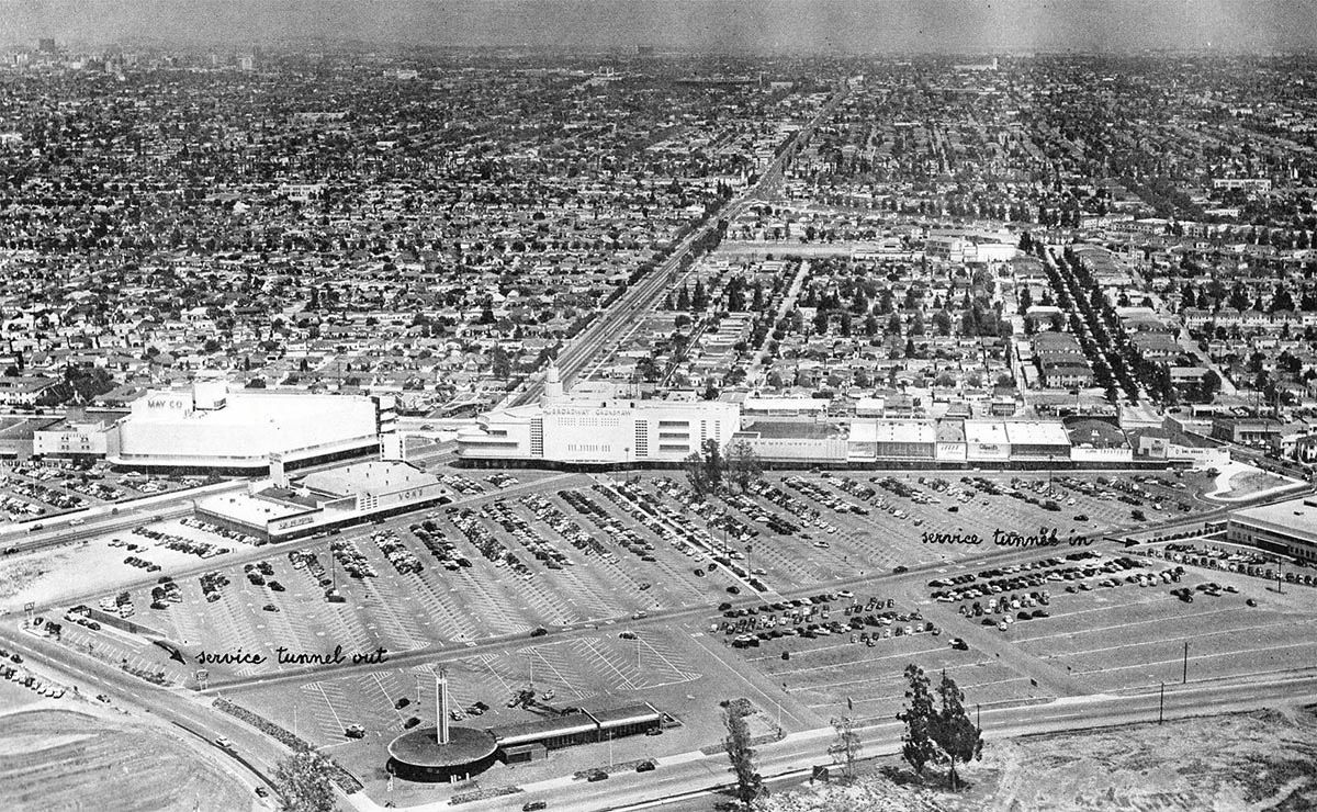
Overview of the field in its heyday
 old file |
Hey thanks for that great old ad
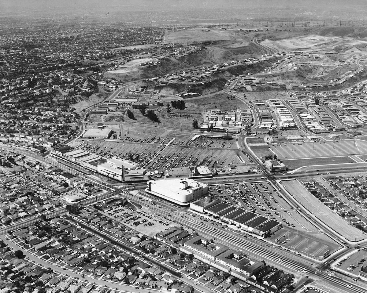
NCD! Here are a few more photos of the area.
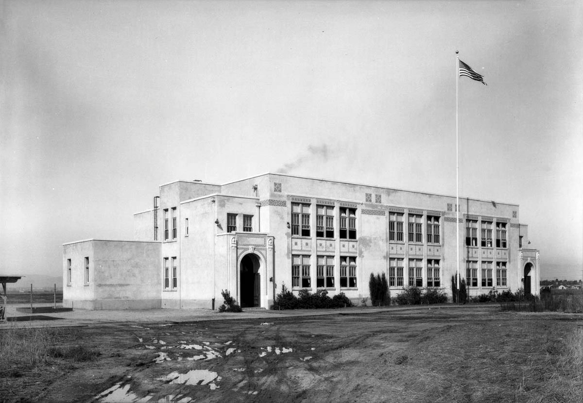
This looks east in 1929. The canyon at the bottom center is where Stocker Street is now. The Sunset Fields
Clubhouse/Sanchez Adobe is just about in the middle of the photo. Above the clubhouse, at the east end of
the golf course, Angeles Mesa Drive (renamed Crenshaw Blvd. in June 1930) runs left to right across the
photo. The north end of the golf course borders what is now the line of Martin Luther King Jr Blvd. Back
then, a ditch/creek ran along that line, marked here by a line of dark vegetation, part of which is also
visible east of Angeles Mesa Drive. Immediately across from the creek and the golf course, in a line running
west from Angeles Mesa, are the buildings of Roger's Airport, which opened in that location on April 3, 1927:
DW-1929-910-25-155 @ USCDL --
http://digitallibrary.usc.edu/cdm/re...ll170/id/70634
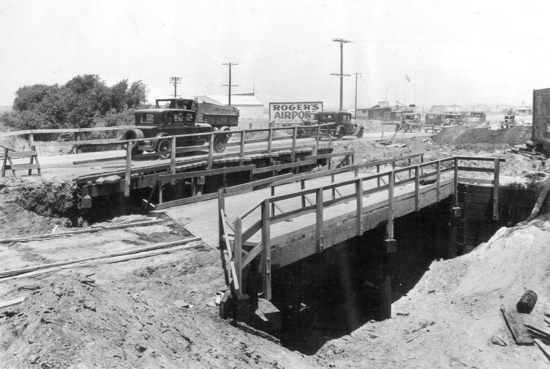
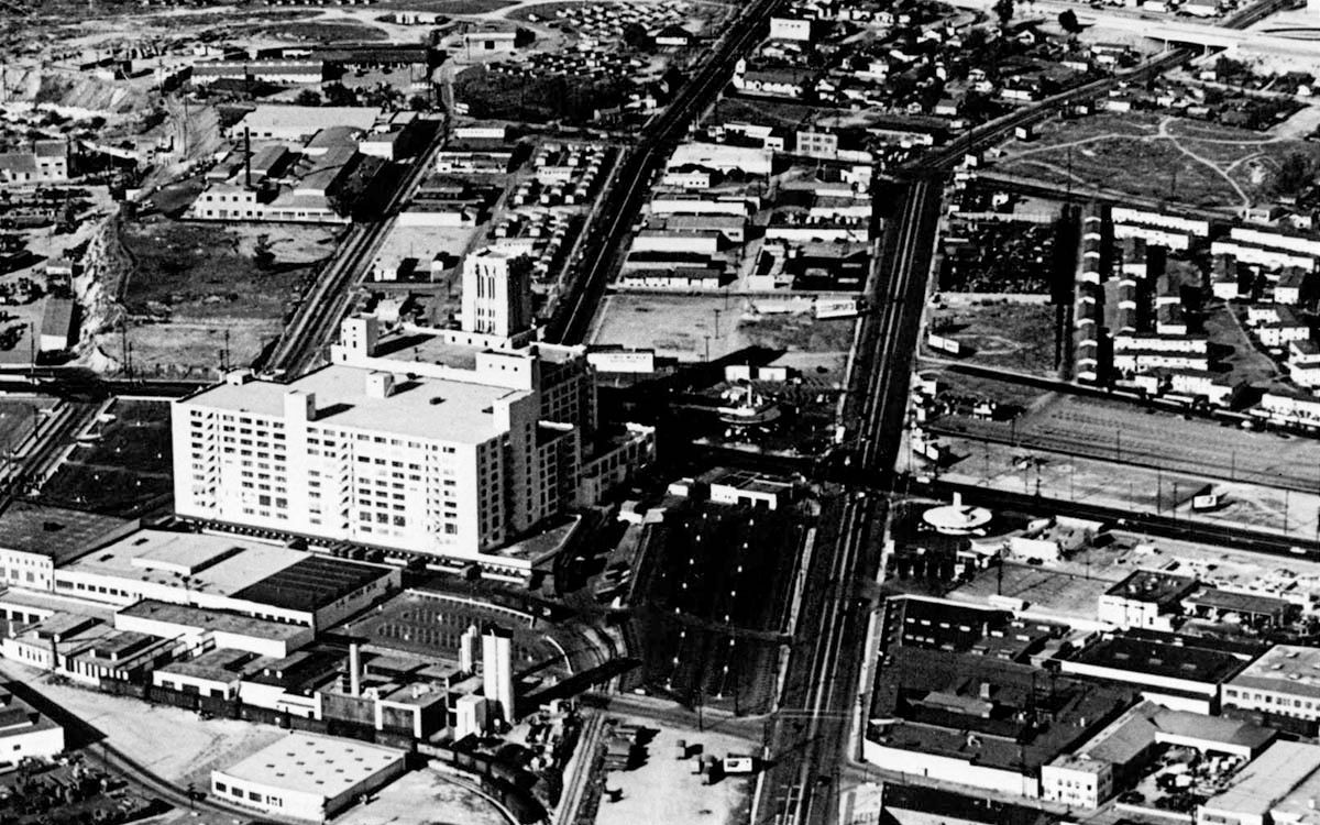
This photo looking north on Angeles Mesa Drive at the bridges over that ditch/creek was taken June 26, 1929.
North of Roger's Airport, some of the buildings of the other Angeles Mesa Drive airports can be seen:
F2320 @ LA City Archive --
http://lacityhistory.pastperfect-onl...25529;type=102
[The LA City Archive says this is Crenshaw at Vernon, but Vernon is a few blocks south of this location.]
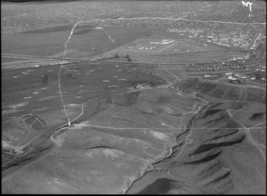
Here's a 1930 view (which I've lightened a bit) that looks mostly west. Crenshaw/Angeles Mesa runs
across the lower right corner of the photo; Stocker ends at Crenshaw near the bottom, opposite the end
of the golf course. Just north of that, along the north side of the golf course, we see the ditch/creek, which
has vanished east of Crenshaw due to the development of Leimert Park:
00033973 @ LAPL --
http://jpg1.lapl.org/pics28/00033973.jpg
More on the Sanchez Adobe:
http://forum.skyscraperpage.com/show...ostcount=13984


 Prev
Prev


 Linear Mode
