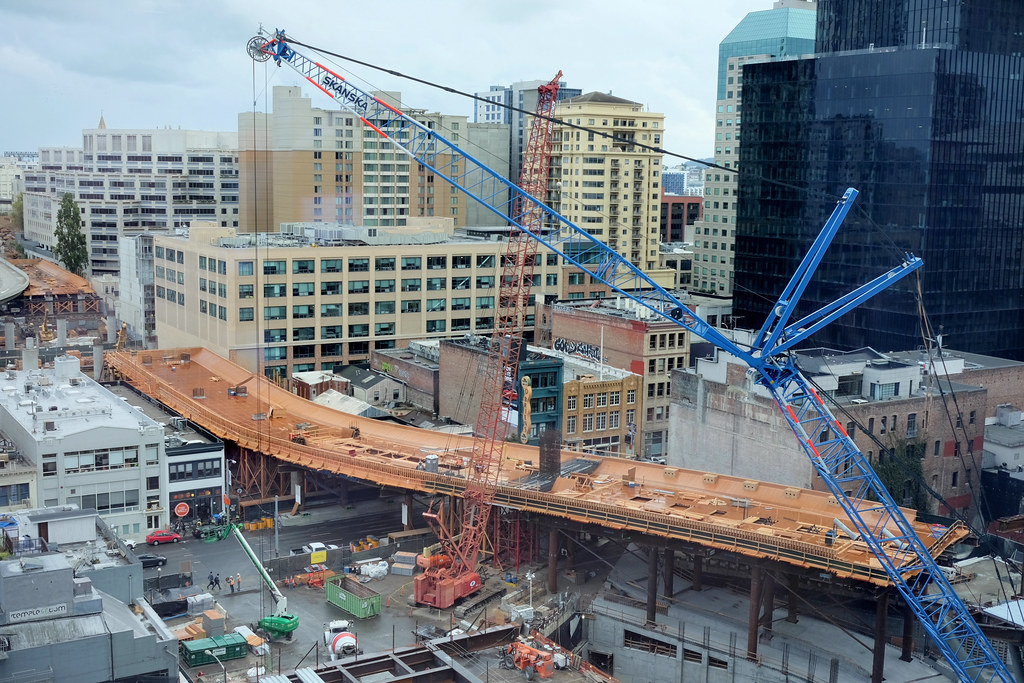
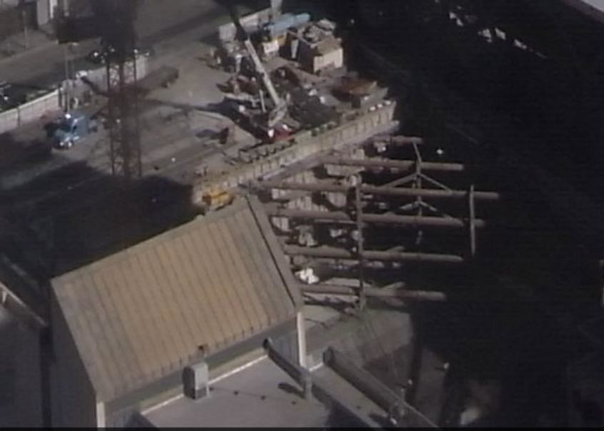
The USGS Liquefaction Susceptibility Map for the San Francisco peninsula may provide a more complete understanding why the foundation for Salesforce Tower is taking so long to build.
To paraphrase from the USGS website, liquefaction is loose sand and silt that is saturated with water, which may behave like a liquid when shaken by an earthquake. Much of the urban development in the Bay Area is on flatlands around the Bay margins, where liquefaction is most likely. Especially vulnerable are areas that were filled with pumped or dredged material many decades ago to create "made" land. All areas in the Bay Area have the potential to be shaken hard enough for susceptible sediment to liquefy.
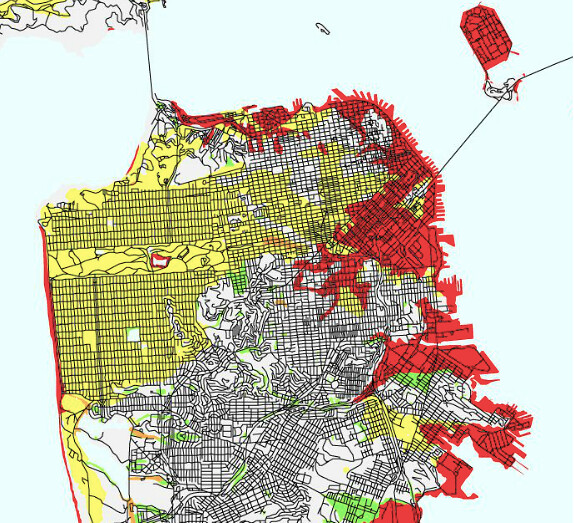
USGS Liquefaction Susceptibility Map/San Francisco peninsula
Credit: United States Geological Survey
http://geomaps.wr.usgs.gov/sfgeo/liq.../aboutliq.html
Map Legend
Source: USGS
As Salesforce Tower is located in an area with a "very high" susceptibility for liquefaction, it should be no surprise great care is being taken with the foundation.


 Prev
Prev


 Linear Mode
