I decided to dust off some GIS skills and overlay other cities rapid transit systems on top of Atlanta. Grey base are census blocks. Tan outline is the COA. White lines are highways. Colors are routes.
Boston:
Green line is light rail, and street running for a large portion in the west, but grade separated through downtown and to the north.

Washington DC:
All lines are nearly identical to MARTA, fully grade separated.

Philadelphia:
The most complicated of the three I did. There's a mix of true subway/highspeed rail transit, three lines, two agencies, and then a mix of street running streetcars and grade separated light rail, and a streetcar subway mix like the MBTA Green line.


 Prev
Prev


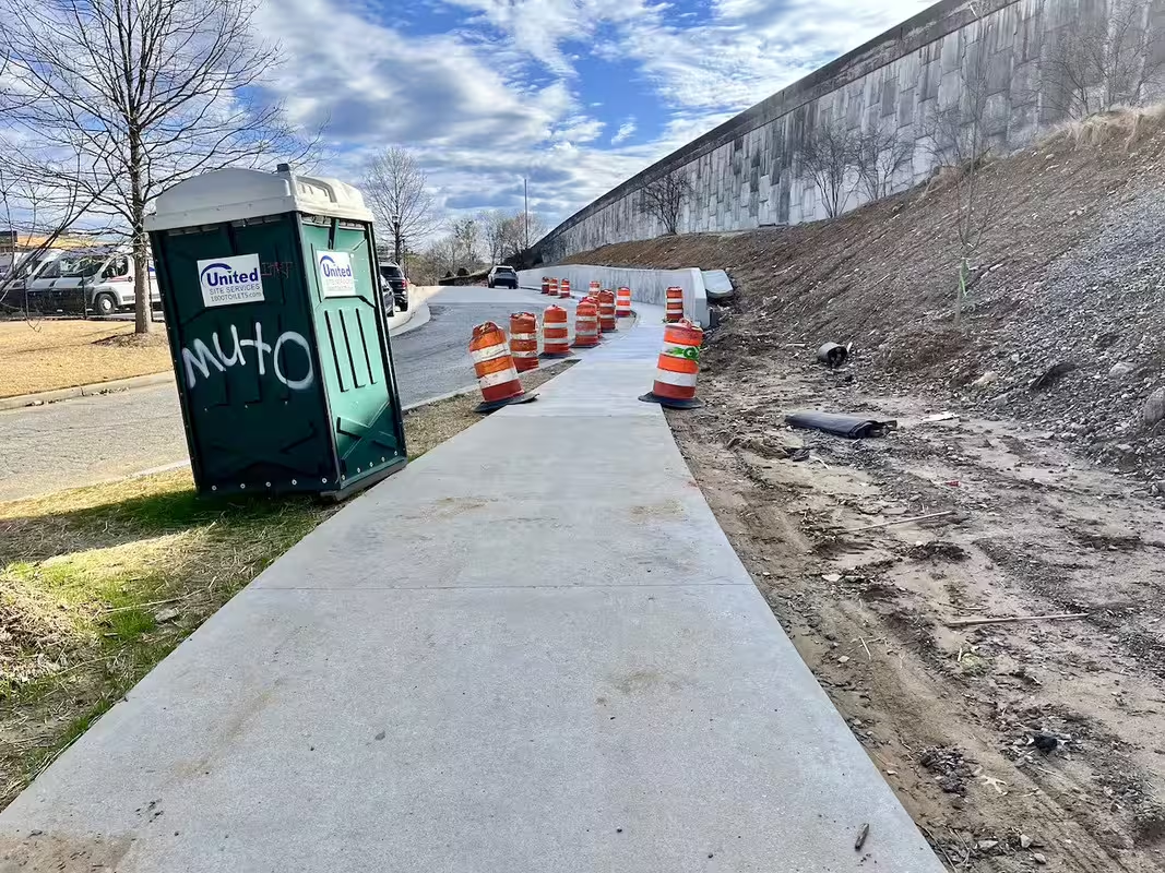
 ). This is not anywhere near Beltline/PATH specs but this seems to be the Beltline after it comes out from I85 and on Mayson St. It is sooooo narrow and just "regular" sidewalk. How are bikes and pedestrians supposed to navigate this?
  And better yet let's add Streetcar rail.


 Linear Mode
