Quote:
Originally Posted by Harley613

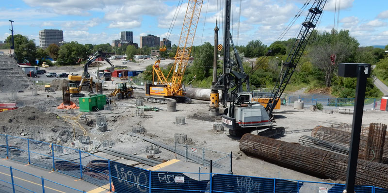
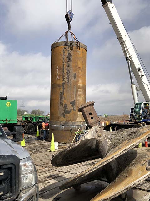
Some quick google sleuthing and it looks like OCCheetos is correct, they are making Caissons with a Caisson drilling rig. I can't imagine them building the pedestrian bridge before the first phase, it would be a bridge to nowhere. There is also no sign of site prep on the opposite side of the tracks. I am hoping the Caissons are related to the first phase of Trinity Station itself.
|
My feeling is that these are for the bridge. I've never seen a condo/tower that started with cassions, they almost all start with excavation for parking or driving piles for support. Cassions to support the bridge make sense to do first here if you consider that access to this side of the site will be difficult once excavation begins.
Though the bridge will be connected to the building, it's not uncommon to have pedestrian bridges supported independently of the structure, as it simplifies design. Distinct foundations separate the building and the bridge and lead to shorter spans and easier installation of the bridge.
Finally, the bridge is labelled "by others" on the Trinity site plan, so it is likely the responsibility of OC Transpo and either part of the stage 2 contract or being prepped now for later installation.
Quote:
Originally Posted by OCCheetos
Here's the site plan [rotated] for reference:

I guess it really depends on where they start drilling, but right now that machine is not where the pedestrian bridge will be. ¯\_(ツ)_/¯
Edit: Maybe I'm just out of the loop, but what exactly are the references to "Richmond Street", "Loretta Avenue", and "Champagne Avenue" on the site plan supposed to be for? They're nowhere near the site. |
They have laid gravel out to the corner of the site closest to Bayview and there's nothing there right now, so I'm guessing that is where the work will be. This is roughly where the bridge is, you can see a new sanitary manhole there just north of the gravel in the overhead shot, and this lines up with the "Connection to existing sanitary" labelled on the plans.
As for the roads, this area is a grid so they were likely all surveyed originally. Because of the railways and Wellington on an angle as a forced road, many of the roads would never have been opened, but they appear on the plans.
In particular, Champagne is now City Centre, and it was only renamed fairly recently to make it distinct from the southern portion of Champagne. The self storage facility is the former Champagne streetcar barn, and OC Transpo referred to the bus layup on the north side as Champagne Layup up until it's closure last year.
Loretta Avenue exists south of the site, and is the next street west of Champagne. It would run right through the site of it were to exist.
As for Richmond, I believe this is what is now Bayswater, except Bayswater ended up with a swing to the west. It was likely renamed to avoid duplication too, but much earlier.





 Prev
Prev







 Linear Mode
