
That's great
Hoss! And thanks for the additional information Bristolian, very interesting.
My real name is Bruce, so I'm especially intrigued about Bruce's Beach.
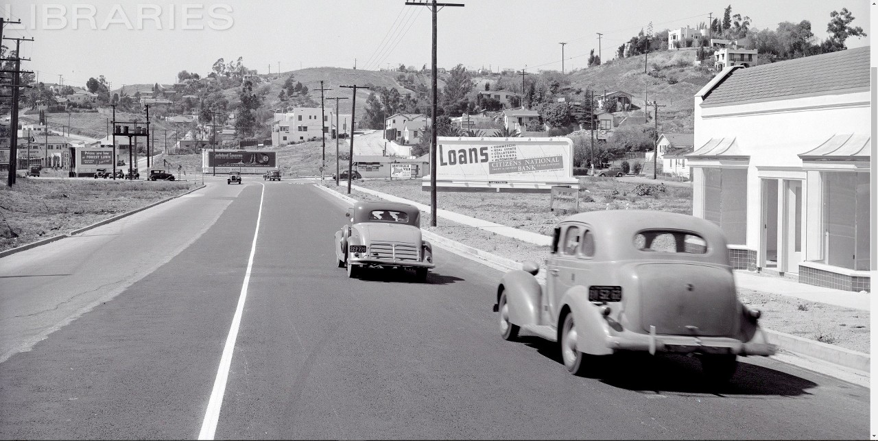
Let's return once more to this
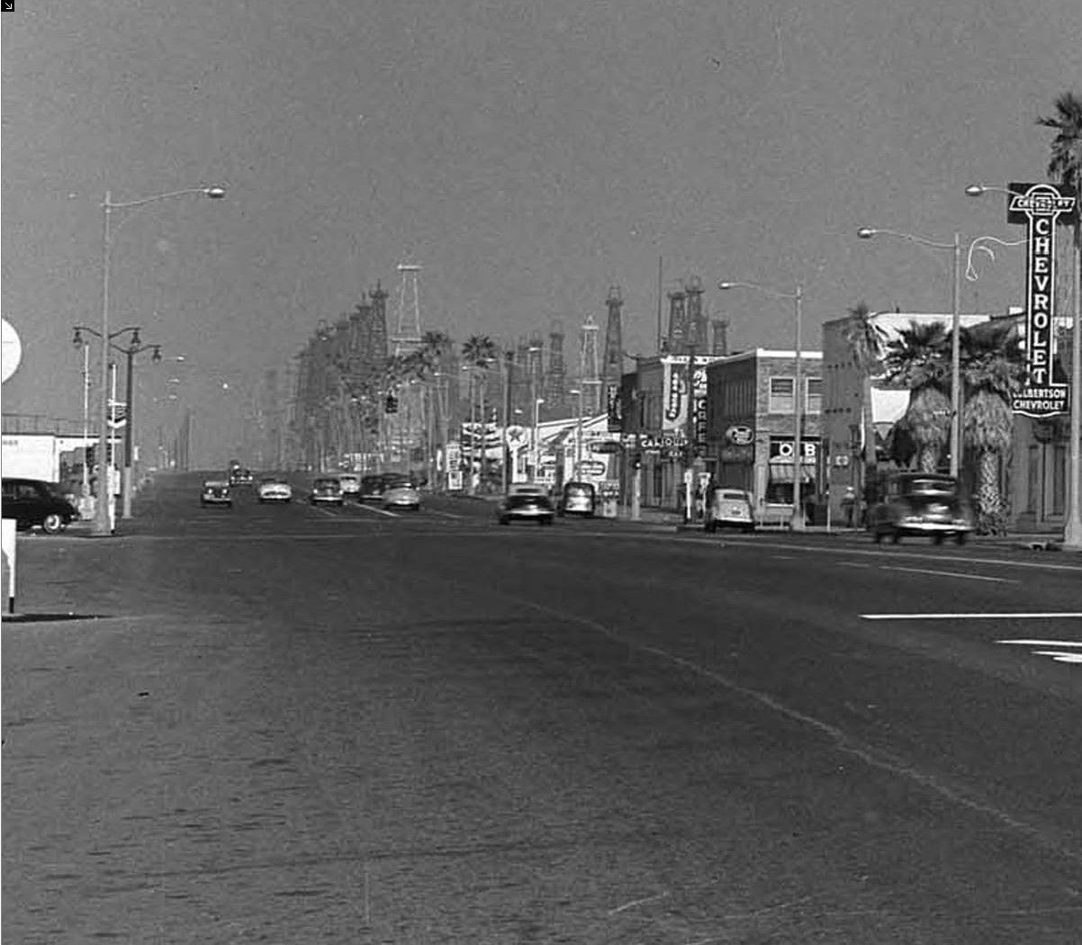
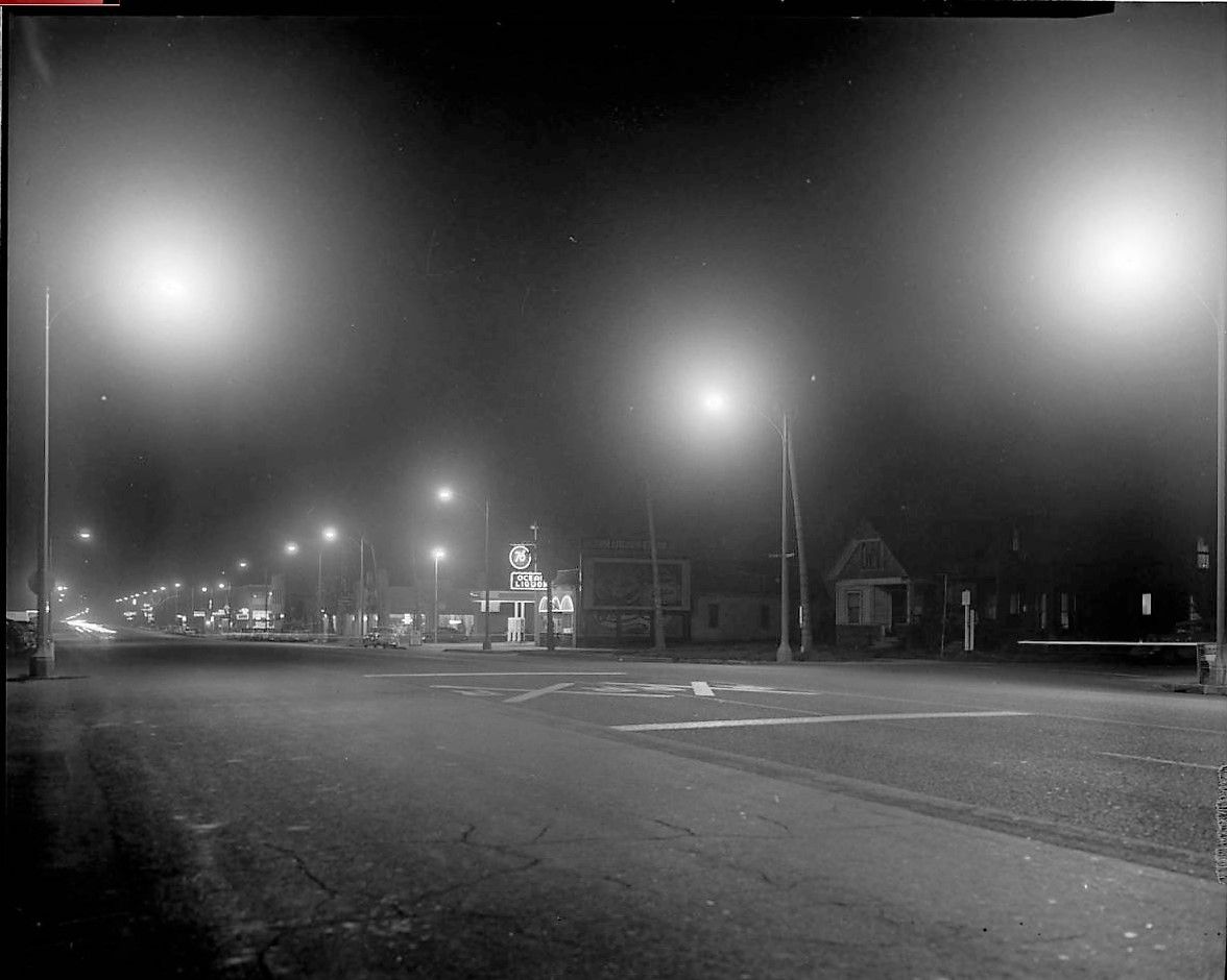
'mystery' photograph from a couple days ago.
 Hoss
Hoss, being the sleuth he is, found the location by way of taxidermy.
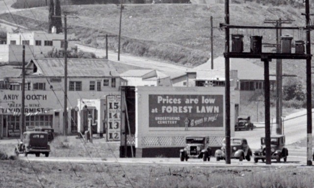
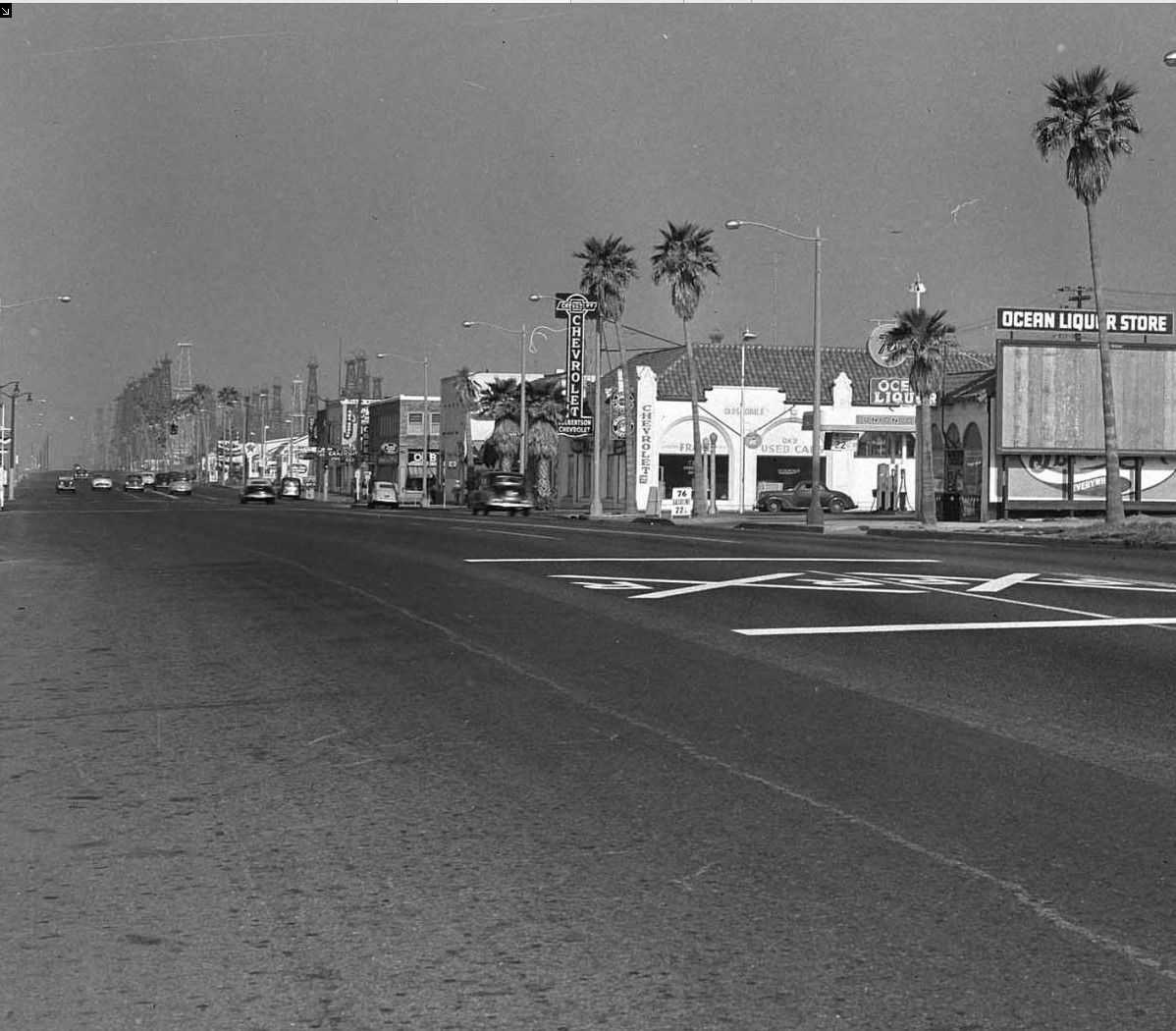
far left edge of photo
Quote:
Originally Posted by HossC

I found A G Booth, taxidermist, at 4573 Huntington Drive North in the 1942 CD. |
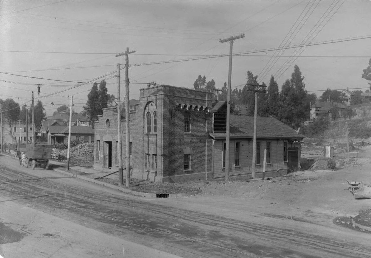
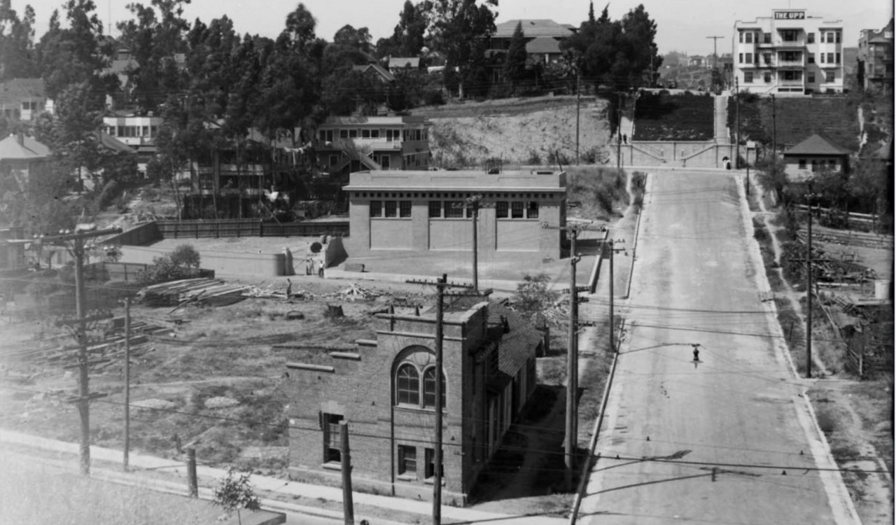
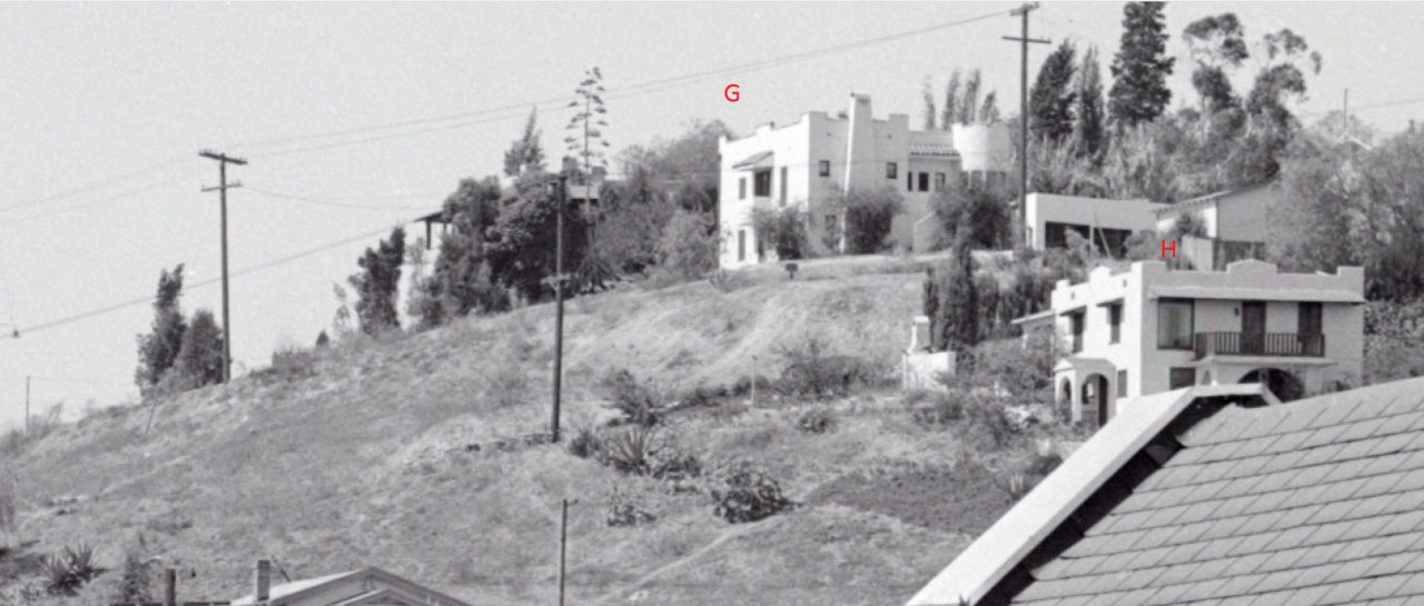
I finally located some of the buildings on the hillside.
Duke Archive
Buildings
A and
B

today
gsv
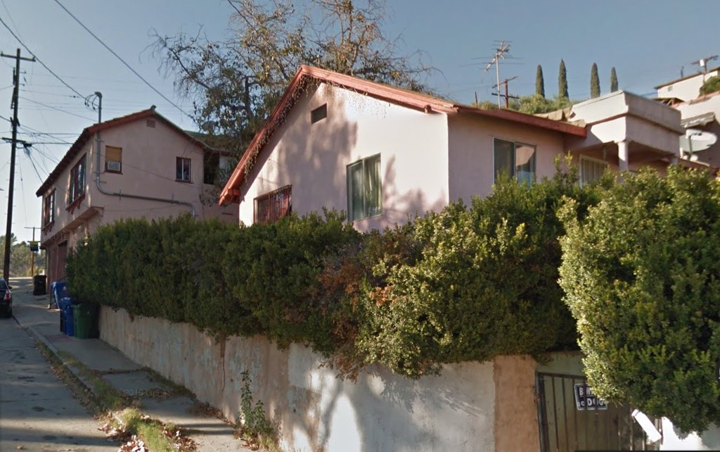
I was surprised by the porch on the front bungalow. If you look closely you can see it in the 1940s photo (it's behind the trees)
Here's a better look at building
A.
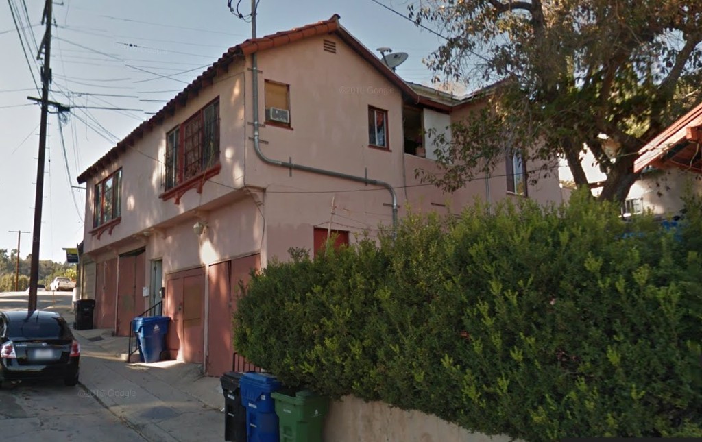
gsv
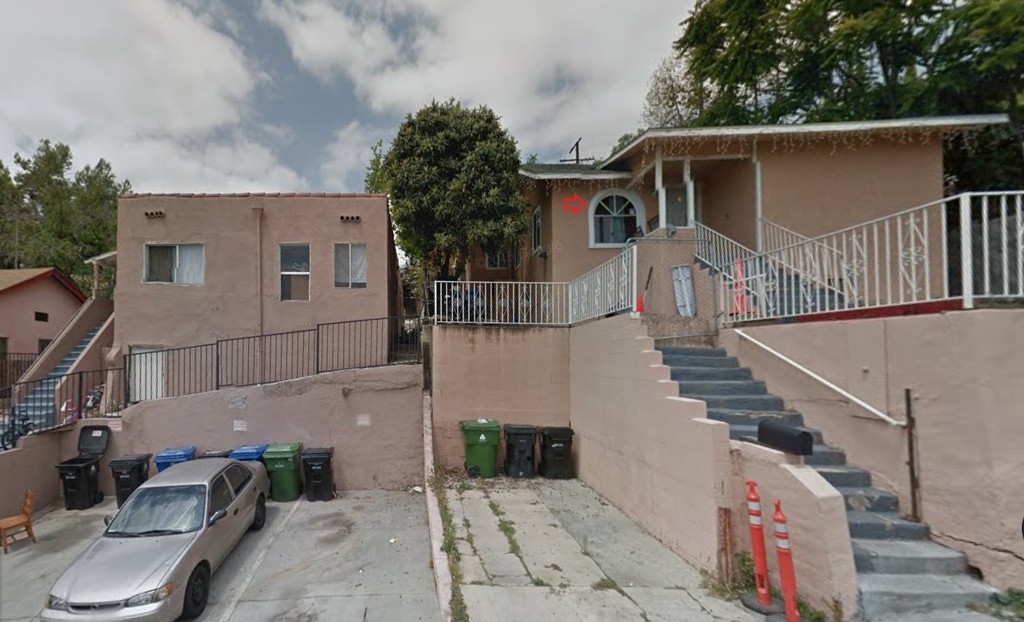
Here is
C and
D that are partially hidden by the billboard.
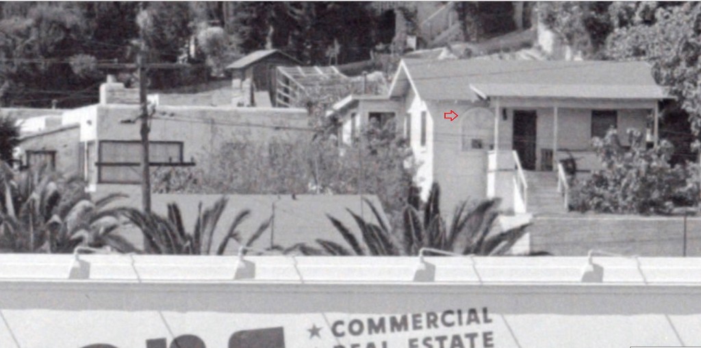
I wasn't sure if building
D was the same building, until I noticed the arched window.
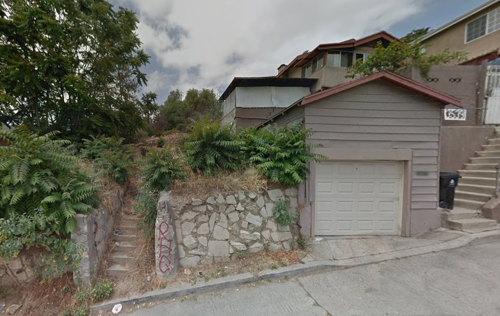
Here is
E and
F (and little
f, the garage)
 E
E is actually missing, but I included it anyway.
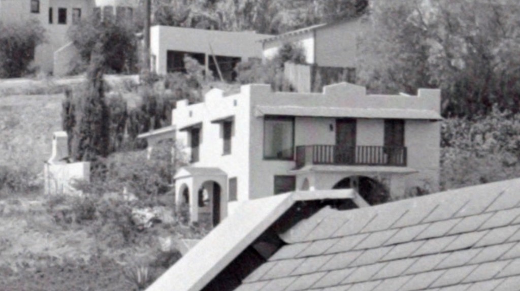
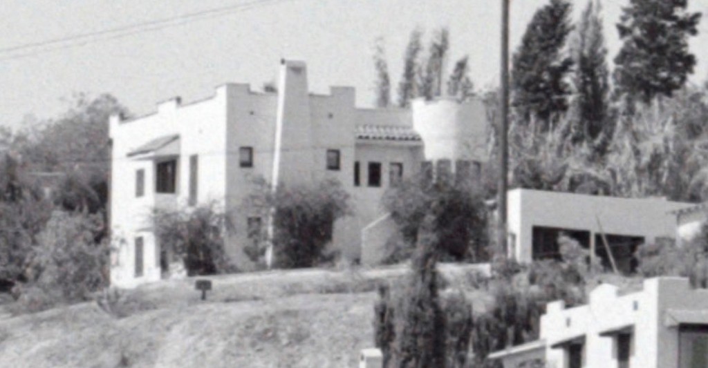
Let's take a closer look at mysterious building
E, shrouded in trees.
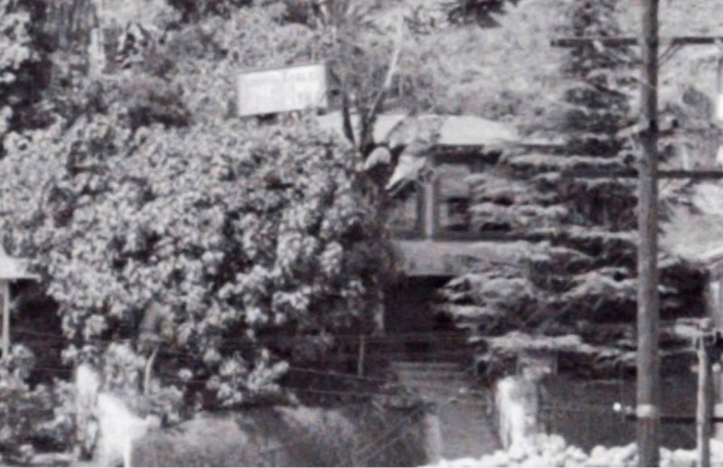
My imagination tells me this was a notorious hide-out for bank robbers. (the sign on top saying WARNING, KEEP OUT!)
and it was blown up in a raid.
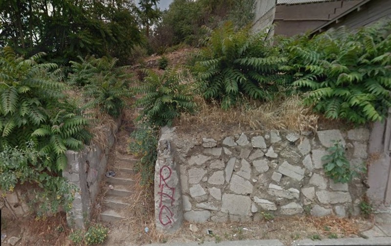
gsv
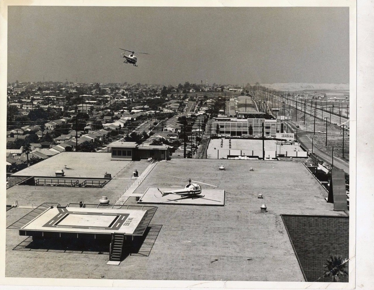
Time for Dinner!
Stay tuned for buildings
G and
H that sit atop the hill.
__


 Prev
Prev


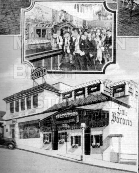
 HuntingtonDL
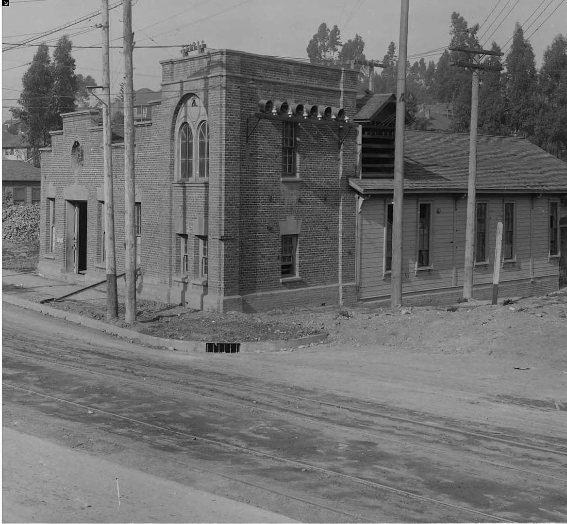 HuntingtonDL

 [/IMG]
 ebay
ebay eBay
eBay


 , and I couldn't find any follow up posts.


 GSV
GSV

 Linear Mode
