Quote:
Originally Posted by ethereal_reality

We've seen this gsv view a few times on NLA.
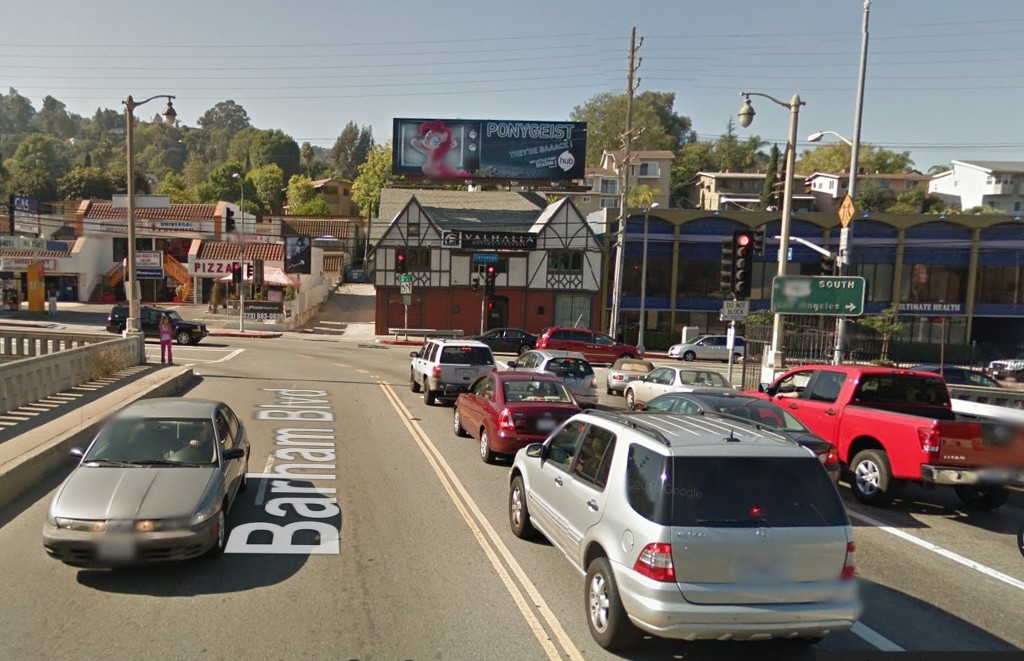
Looking west across Barham Blvd. bridge toward Cahuenga blvd. W.
__ |
The Tudor-esque building directly opposite the end of Barham is 3201 N. Cahuenga. The LA County Assessor
gives its build date as 1926/1935. Here it is in October 2014:
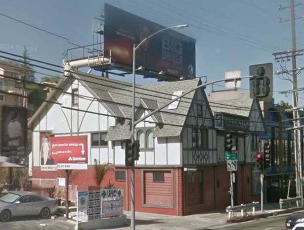
GSV
You can see a corner of 3201 N. Cahuenga at the middle left edge of this c. 1930s photo looking NE over the
intersection of Barham and Cahuenga. I believe the photo was taken from Bennett Drive, with Barbara Court
in the lower left corner:
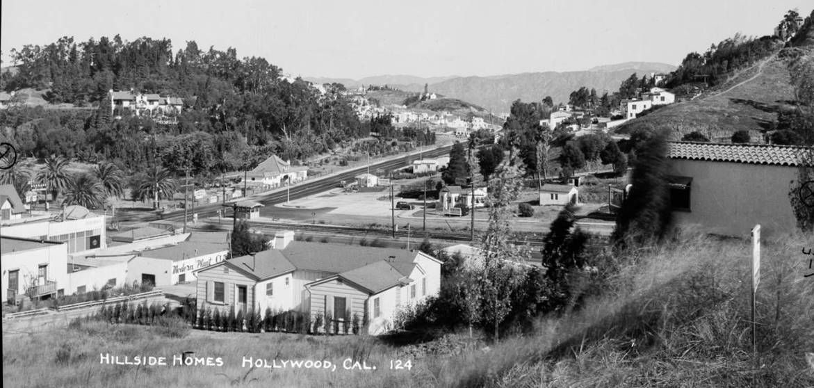 488328
 @ Huntington Digital Library, Ernest Marquez Collection
Bennett Drive is now lined with houses, so the closest I could come to replicating the above photo is this shot from
up on Woodrow Wilson Drive:
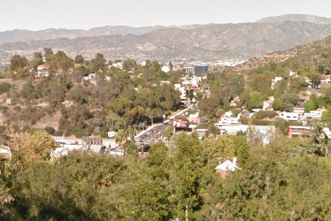
Oct 2015 GSV
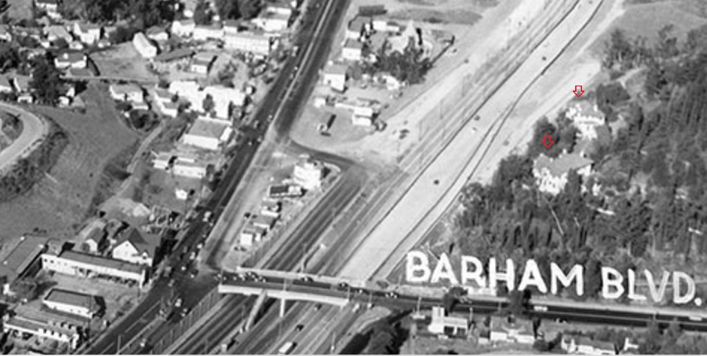
Here is a slightly closer look at the intersection from the 1930s photo. I didn't find any information about the big house
on the hill or the depot-like building on the north side of Barham just east of Cahuenga:
 MR
MR first
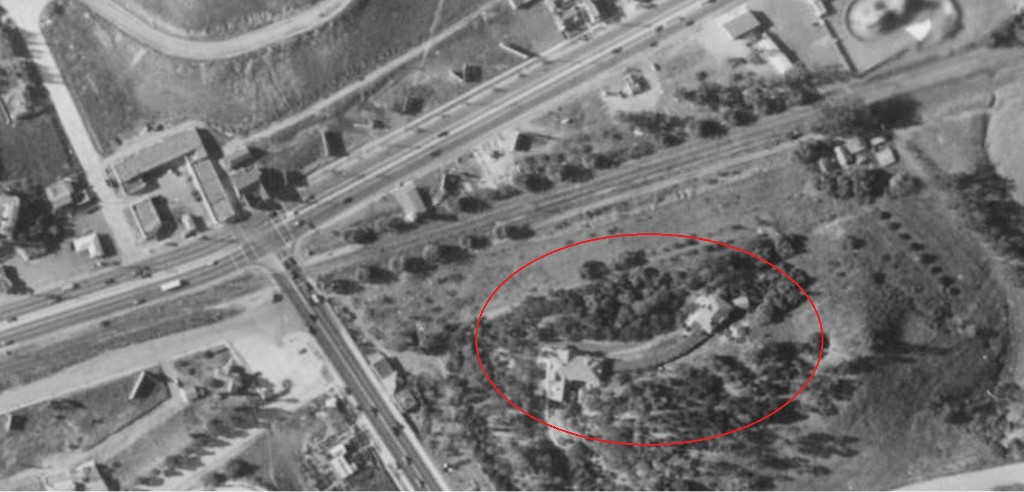
posted this December 30, 1939, aerial showing Barham and Cahuenga. Yes, that's Monkey Island at upper right:
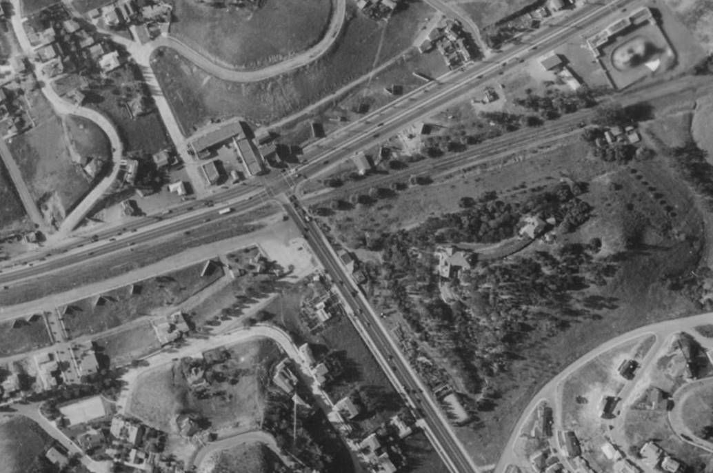 CHS-44661
 @ USCDL





 Prev
Prev


 Fantastic find oldstuff!










 CBS L.A.



/cdn0.vox-cdn.com/uploads/chorus_image/image/47987677/murphyledeimage_9_14.0.jpg)




 Linear Mode
