City of Langley to Receive Funding for Upgrades to the 203rd Street Corridor
July 24, 2015–Langley, British Columbia– Infrastructure Canada
Residents of the City of Langley will benefit from upgrades to the 203rd Street Corridor thanks to joint funding from the governments of Canada and British Columbia through the Small Communities Fund.
The City of Langley will use the funding to upgrade the 203rd Street Nicomekl Bridge and to construct a roundabout at the intersection of 203rd Street and 53 Avenue. The bridge will be widened by approximately 1.65 meters on both sides and new bridge supports will be installed within the Nicomekl River floodplain. Directional bike lanes and a multi-use path will also be added on both sides of 203rd Street. These upgrades will improve traffic flow and make it safer for commuters, pedestrians, cyclists and those using other forms of active transportation.
...
Quick facts
•The Government of Canada will provide up to $1,445,333 through the Small Communities Fund for the project.
•The Province of British Columbia will contribute up to $1,445,333 to this project.
•The City of Langley will be responsible for all remaining costs of the project.
•The total estimated cost of the project is $4,336,000.
•The 55 projects approved for funding in British Columbia under the Small Communities Fund so far include 24 drinking water projects, 22 wastewater projects, four major roads projects, two disaster mitigation projects, two brownfield remediation projects and one solid waste management project.
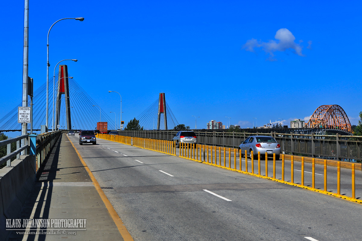
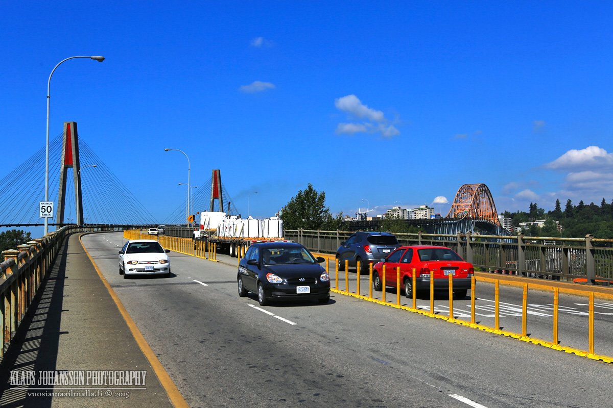
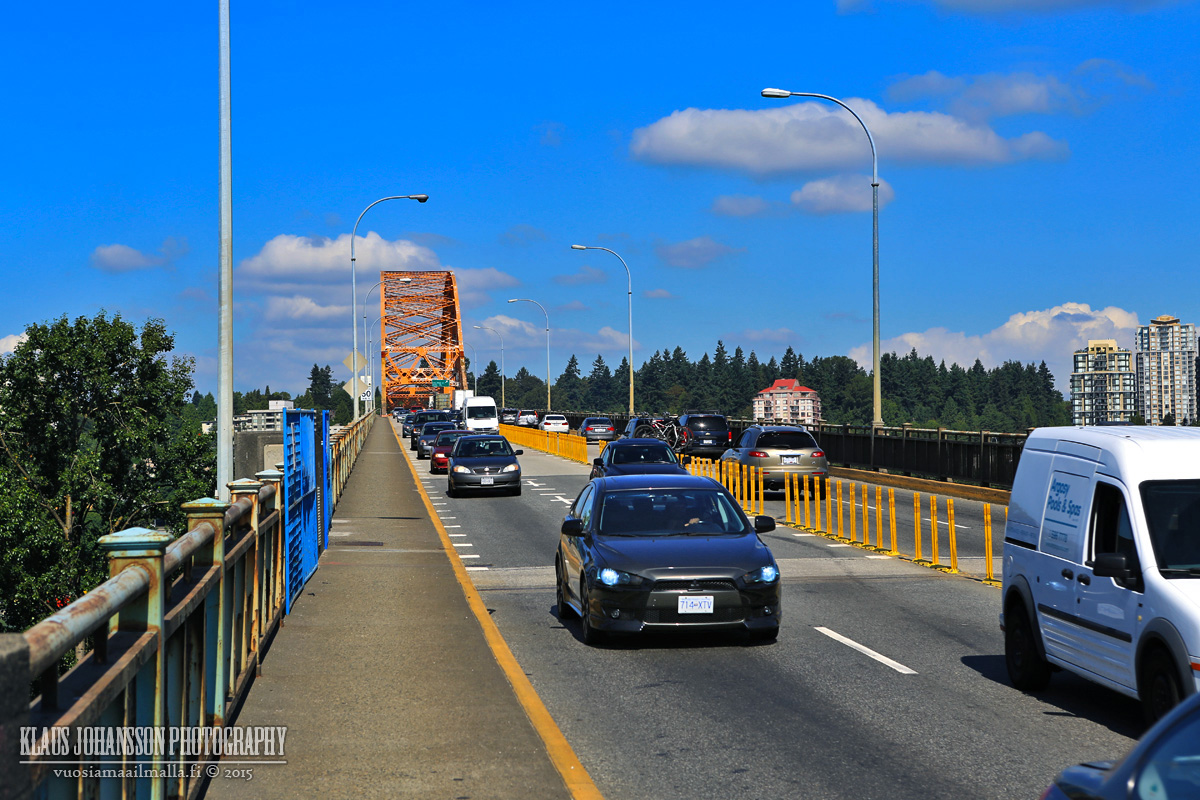
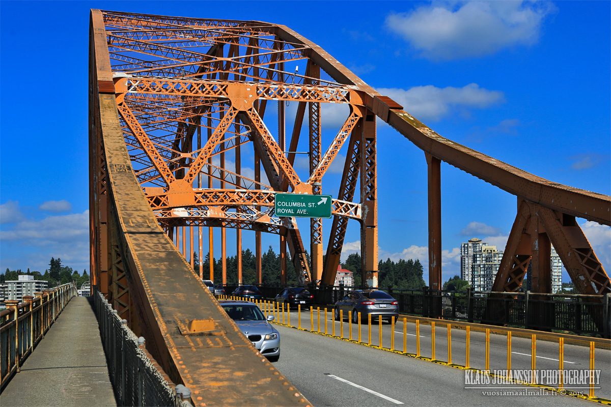
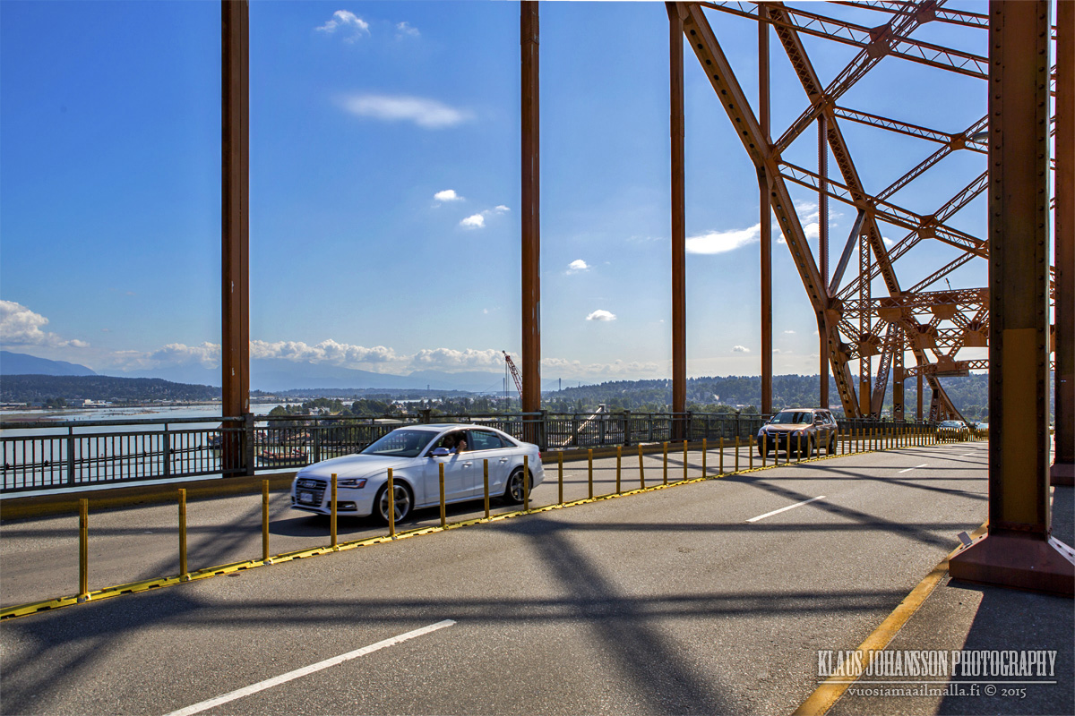
Rode my bike over Pattullo Bridge yesterday. I have to say that it feels quite nerving to go over this brige with bike, with constant truck traffic making the narrow sidewalk and whole bridge bounce. I was there around 10:30am which is why there is so little traffic in the photos.
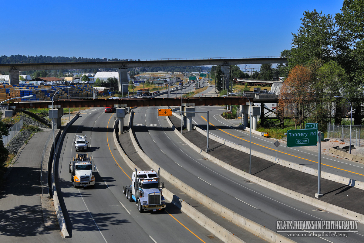
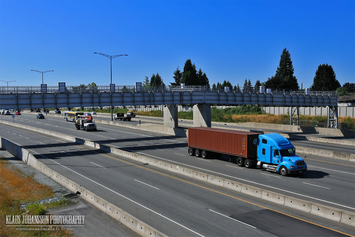
SFPR below. Lots of truck traffic on the highway.
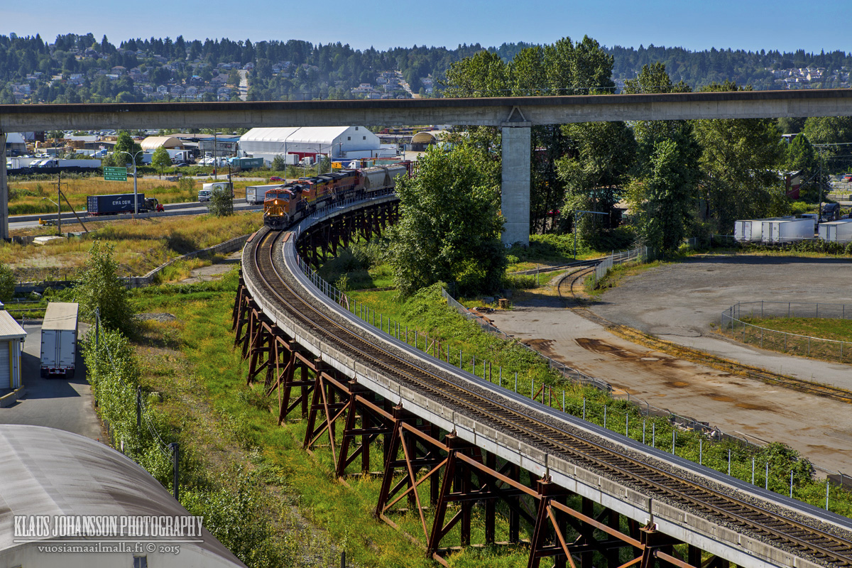
Train tracks over Fraser are very busy.
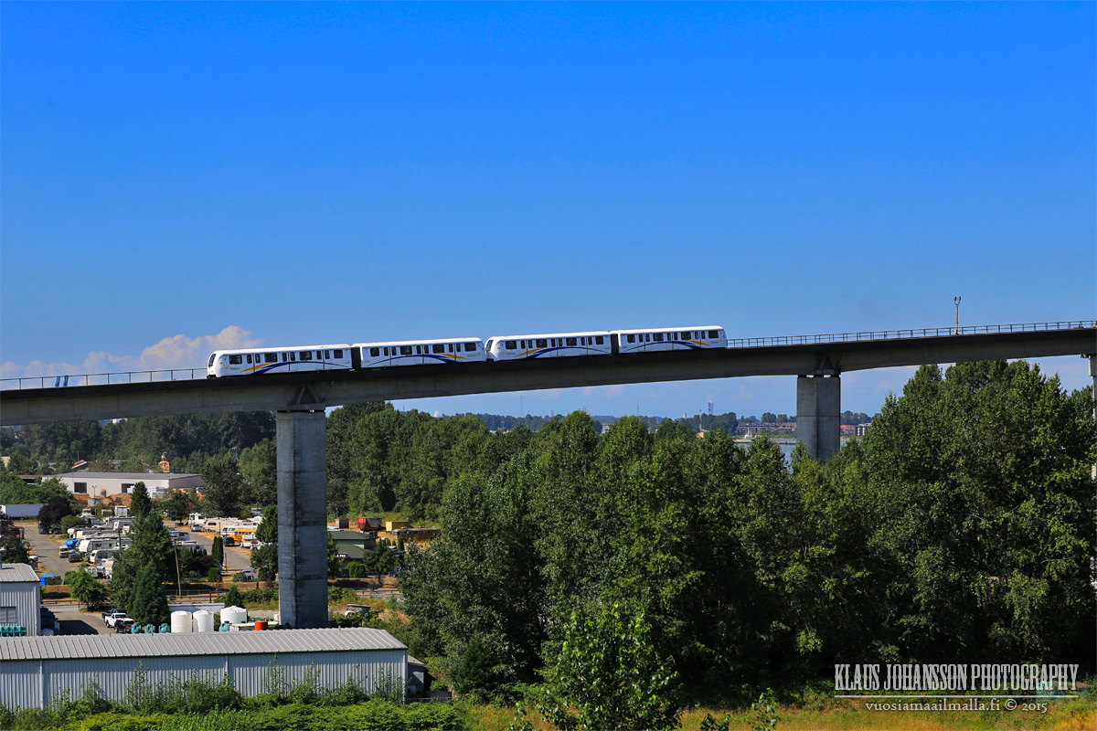
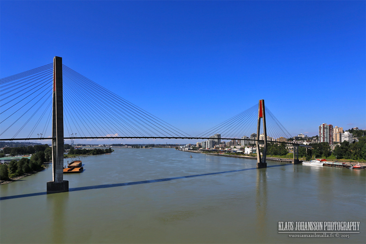
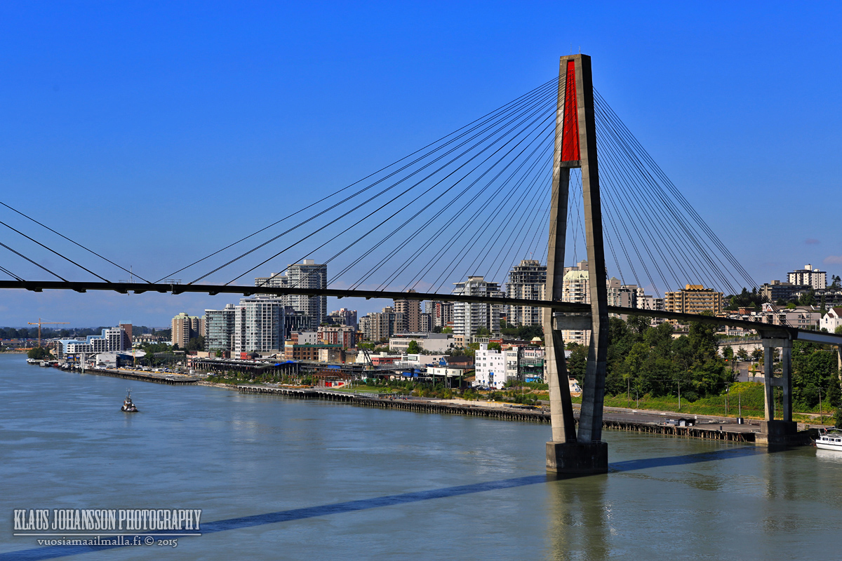
Skytrain bridge to New Westminster is next door.
Some paint would be needed (among completely new bridge).
RE: Cycling on the Coquitlam side of the Port Mann bridge
Quote:
Originally Posted by aberdeen5698
Me too. If Klazu has any photos that show the cycling connections on the north side of the bridge it would be very much appreciated. From what I can tell the south side seems pretty straightforward.
The cycling on the Coquitlam side of the Port Mann bridge is almost all on roadways.
Once you come down from the Port Mann Bridge there is a section of multi-use path on the north side of United Blvd (between Fawcett Rd to Mary Hil Bypass)
During weekends and after 5 pm weekdays the traffic volume is pretty light, as this area is an Industrial zone.
The cycling on the Coquitlam side of the Port Mann bridge is almost all on roadways...
Thanks for the info and the links. I've seen some maps of the connections, but I like seeing photos because it gives me a better idea of what to expect. Google Street View is terrific for this sort of thing but of course it doesn't work for new routes because it's not in real time.
I did a Port Mann Bridge - Pattullo Bridge loop bicycle ride yesterday. What a fantastic and not steep bikeway over PMB! Huge photo update coming when I just find some time to edit my photos.
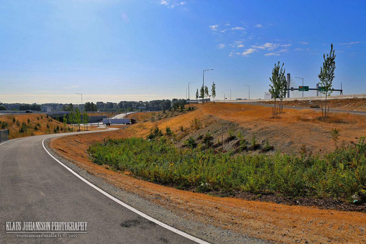
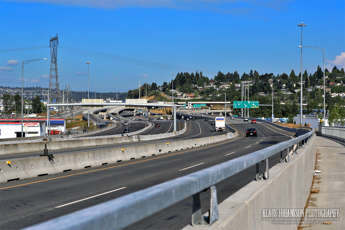
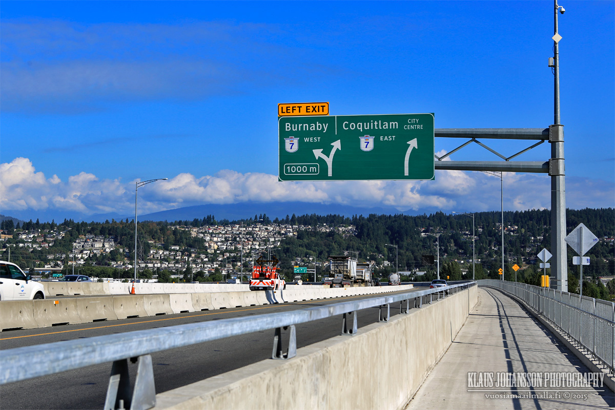
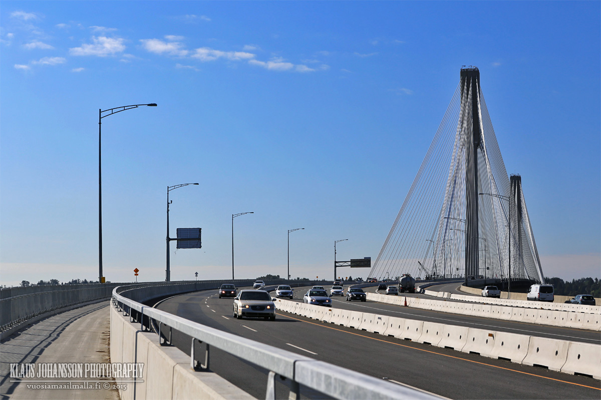
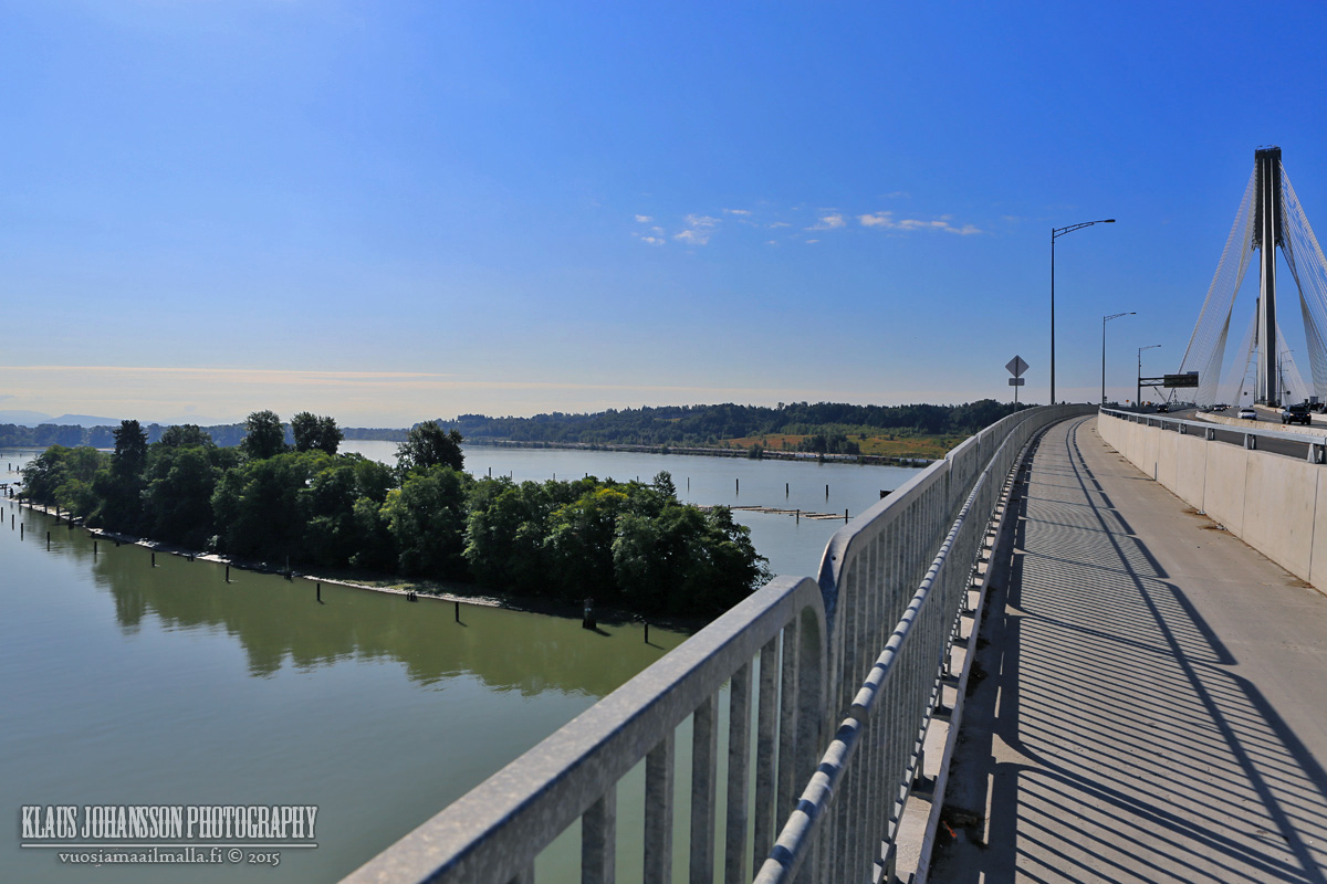
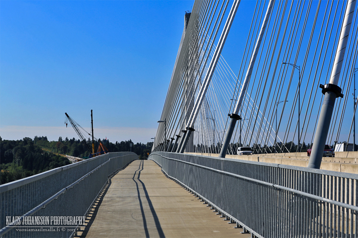
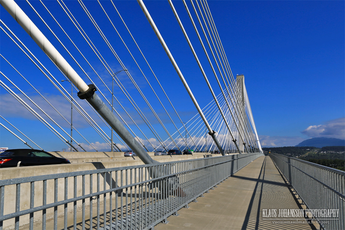
I took so many photos that here is part 1 of the set showing the northern end of Port Mann Bridge bike lane. Like said, it is not steep and feels very secure to cross. There is still very little bike traffic and I only saw two other bikers during the 30 minutes I spent crossing it (took so many photo ).
The only problem I had was that the bridge is so tall that it gave me some vertigo in few places next to the railing...
The bike lane connectivity on the Coquitlam side is not the best and outside of the stretch over the bridge, most of the route is a painted lane on side of the road.
The new Cape Horn intersection.
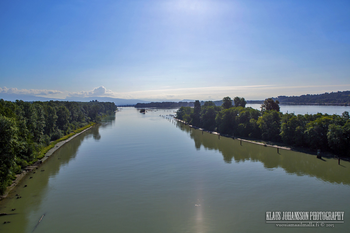
A small island in Fraser River.
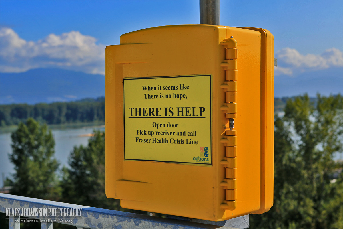
There is fortunately no ugly suicide fence, but there are few suicide phones in case someone is feeling that desperate. I haven't seen such phones on any other bridge but they seem like a good idea.
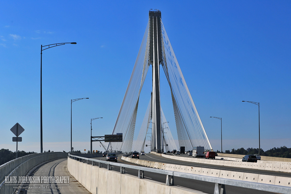
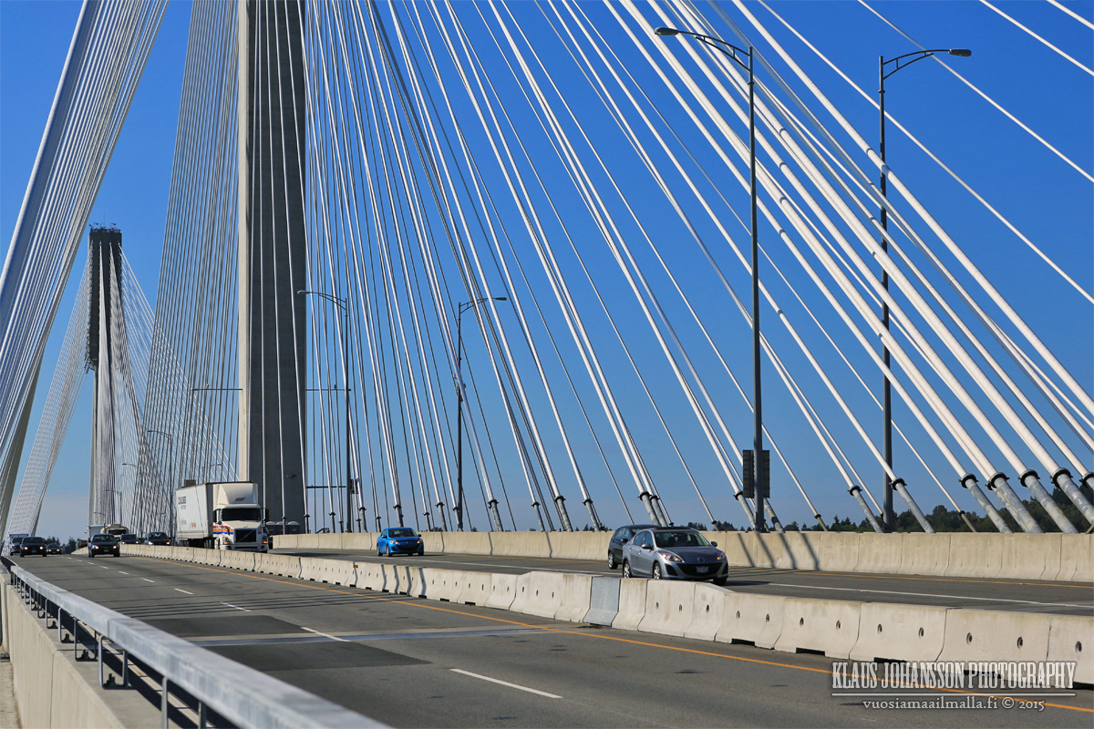
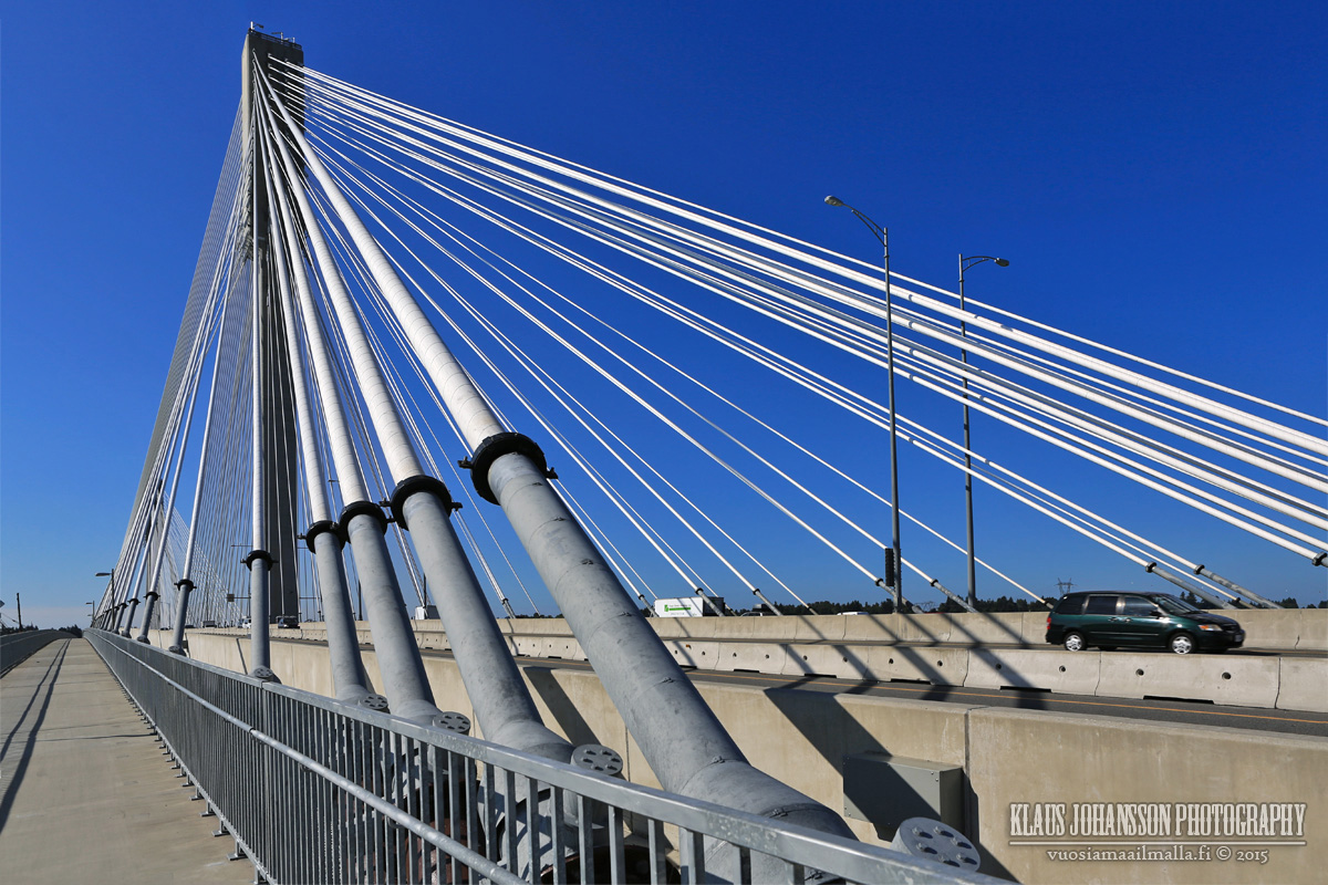
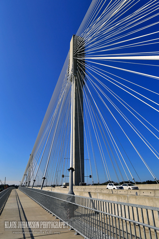
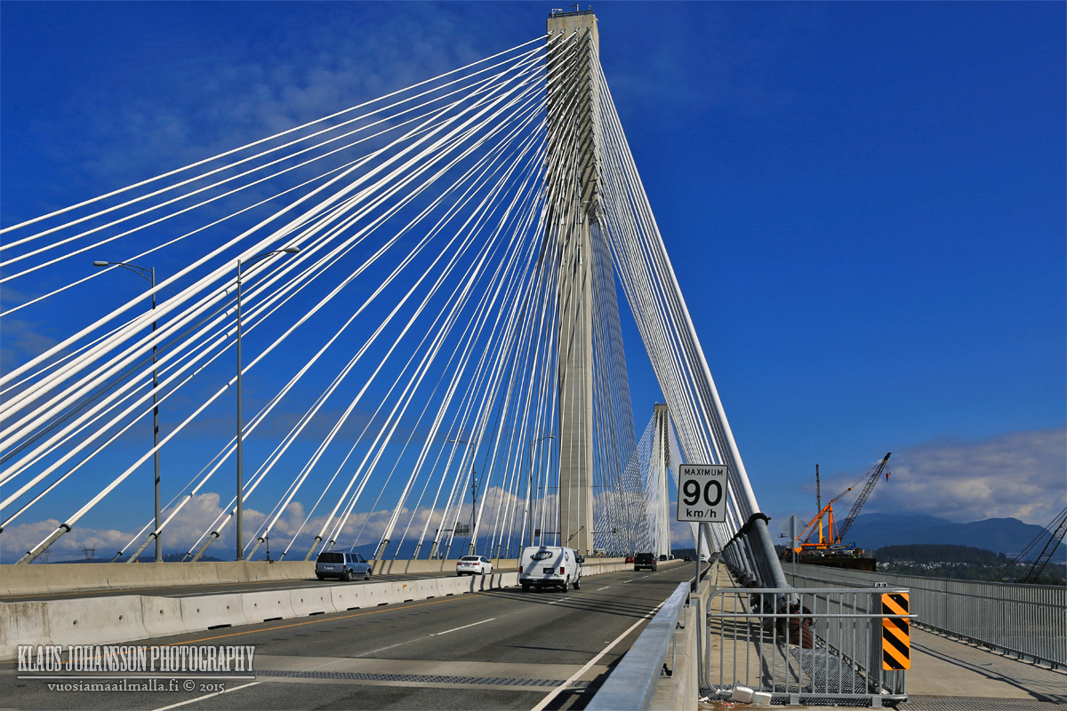
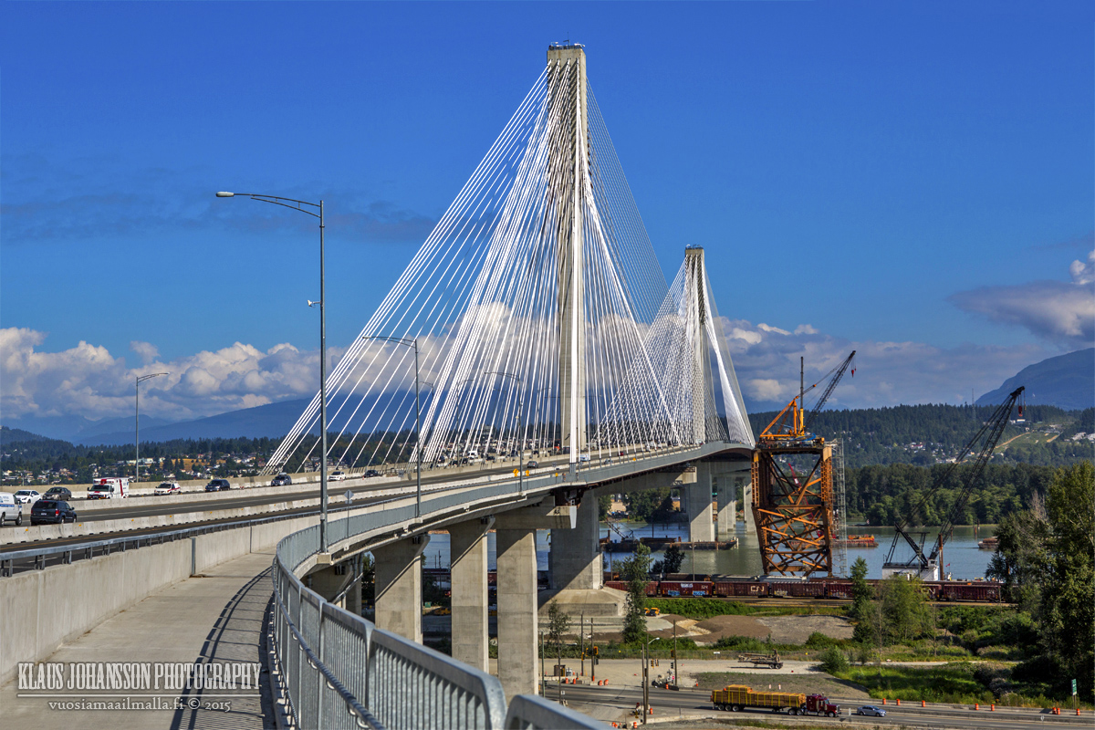
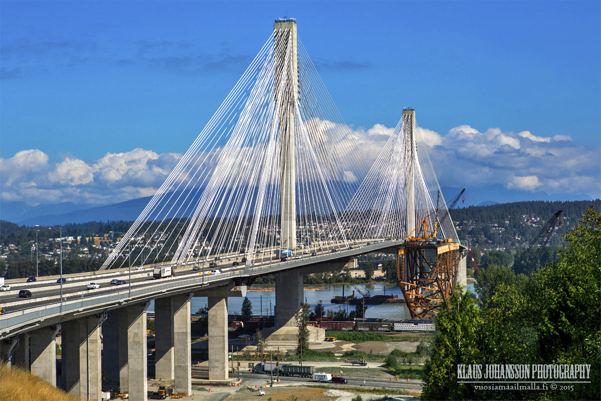
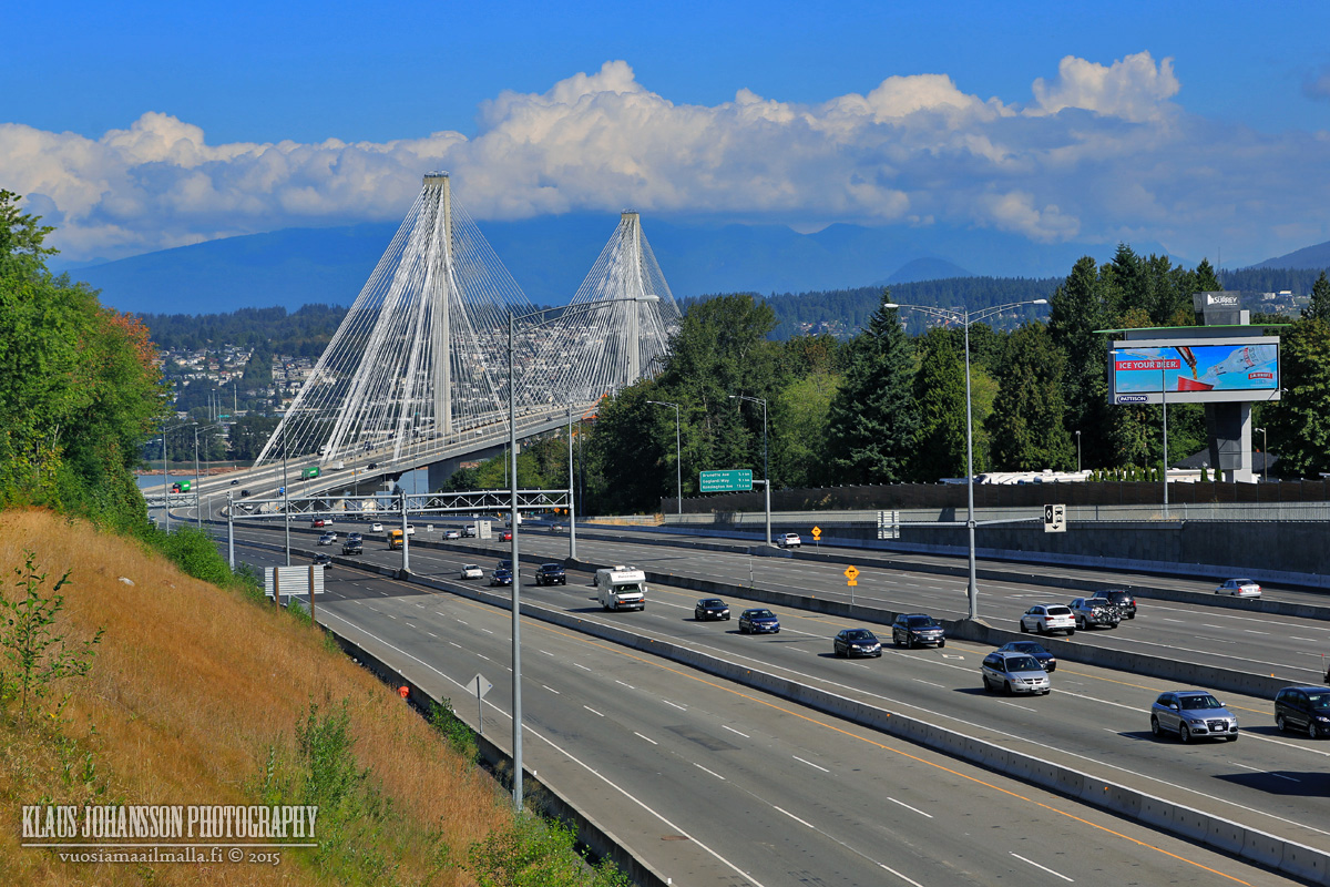
Majestic new Port Mann Bridge. The second widest bridge in the world carrying 10 lanes of traffic.
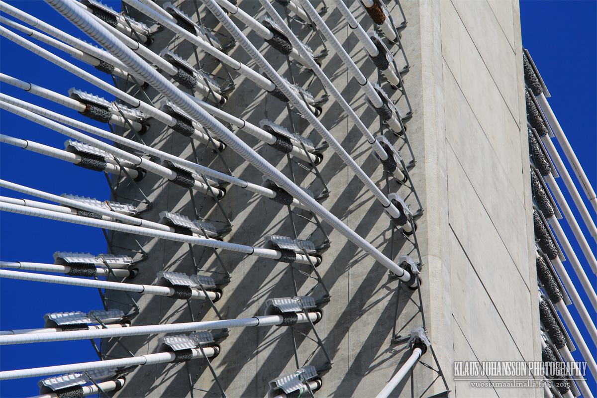
Thick wires hold the bridge deck up.
Strange notch in the middle of the bridge.
Top of the pylons.
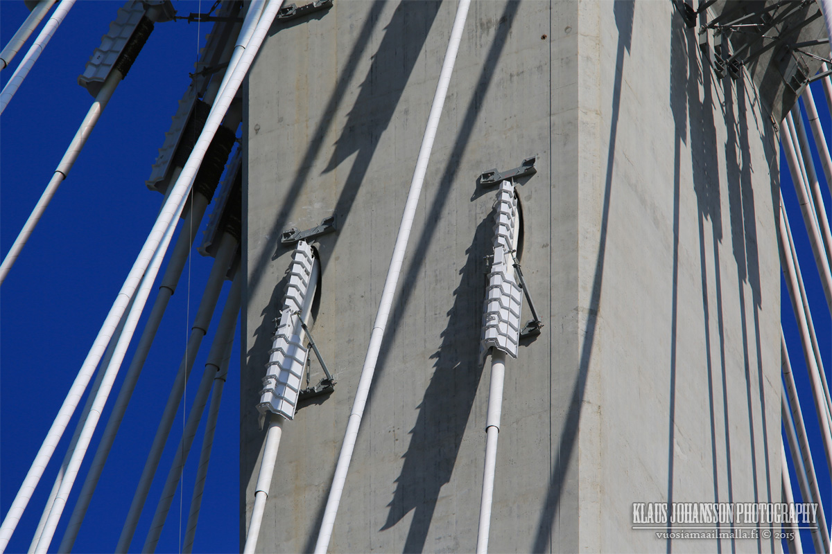
Close-up of the snow removers that should prevent ice bombs from falling going forward. So far so good.
And here is the second photo set. All photos are taken on Thursday morning at around 9:30am, so the rush hour has just ended which is why there are so few cars on the road.
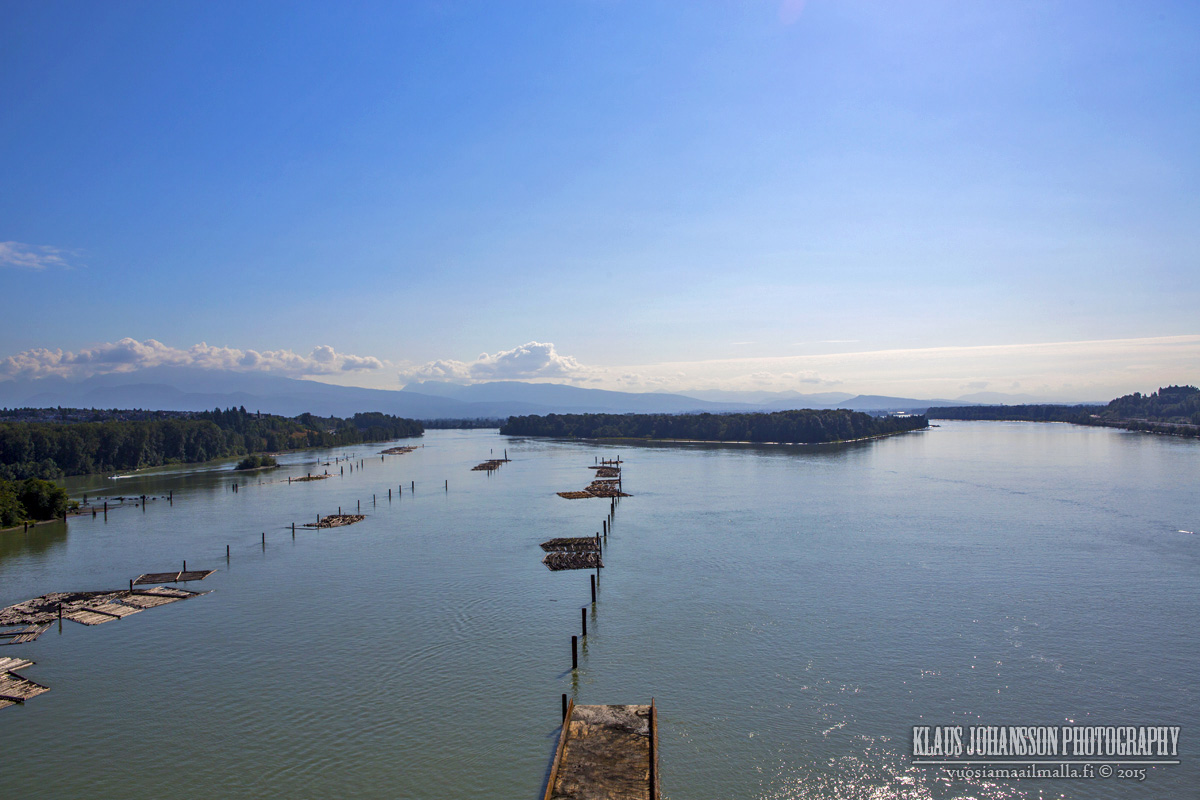
They are removing construction time piles from the river bed.
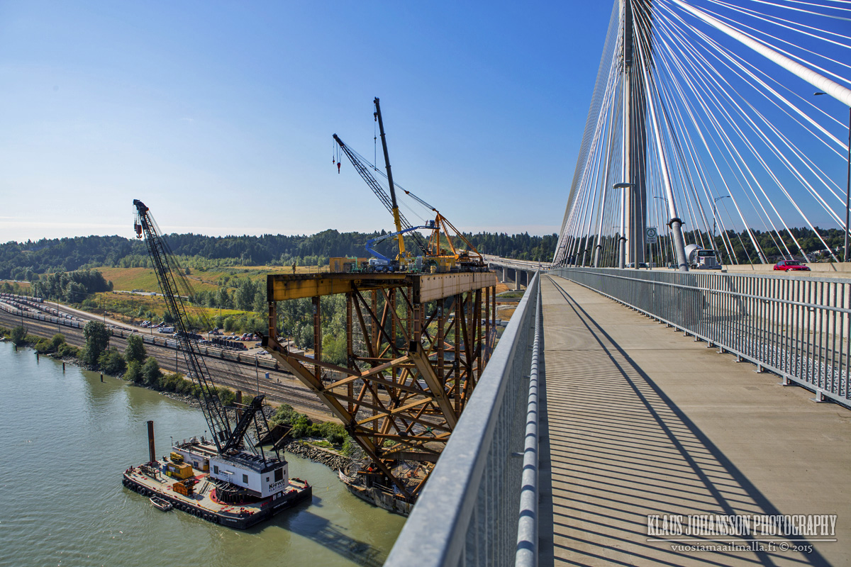
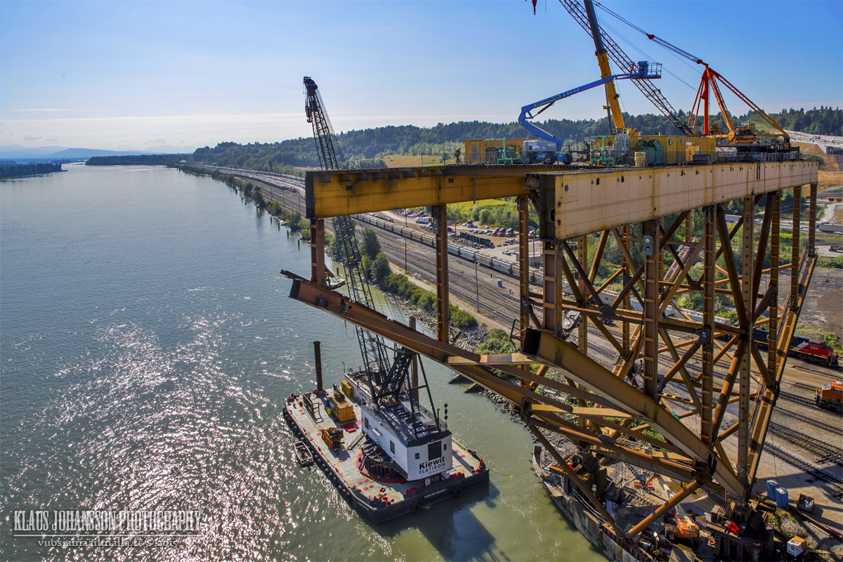
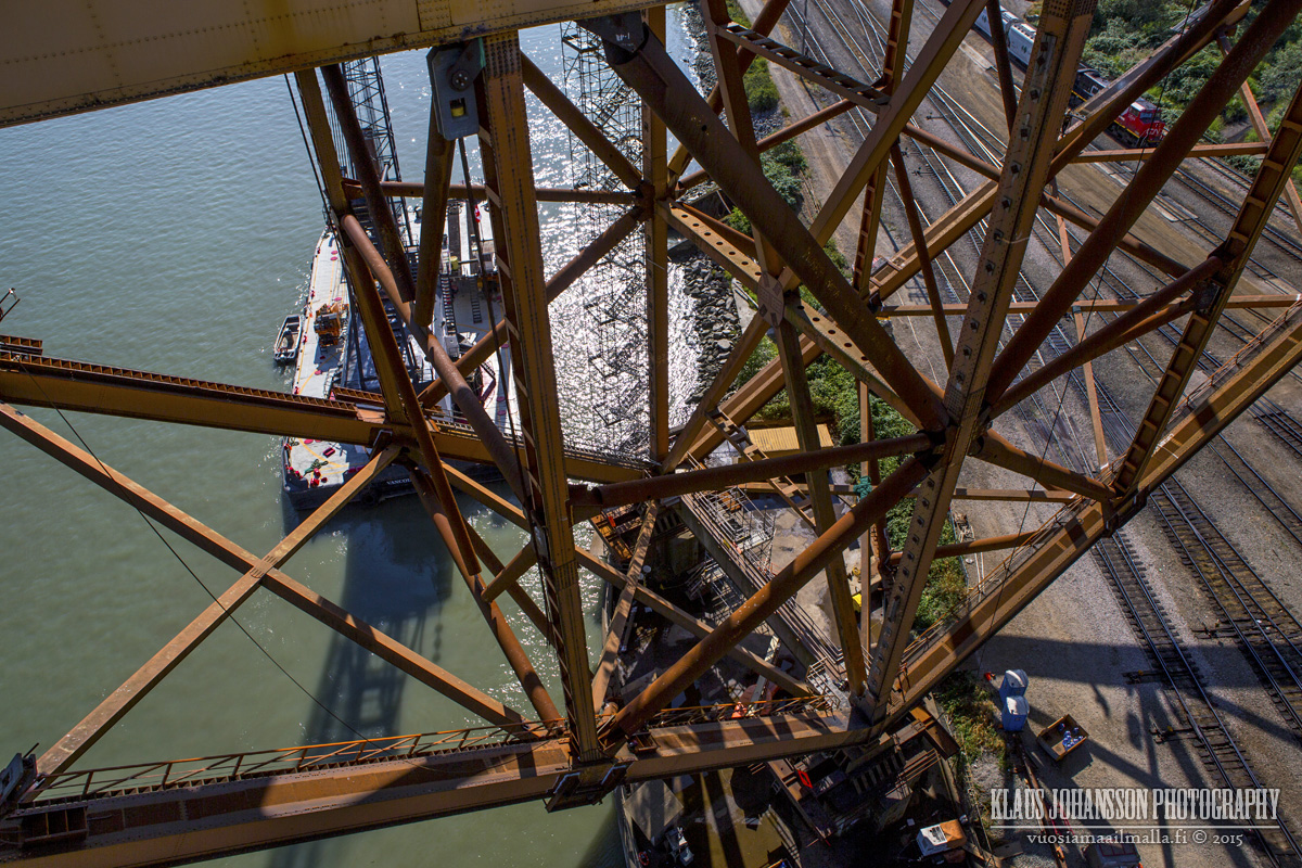
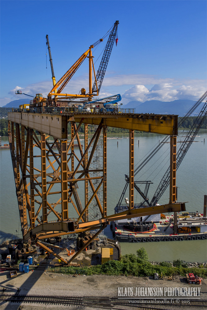
Only one huge piece of the old Port Mann Bridge still remains. It is amazing how it manages to stand by itself.
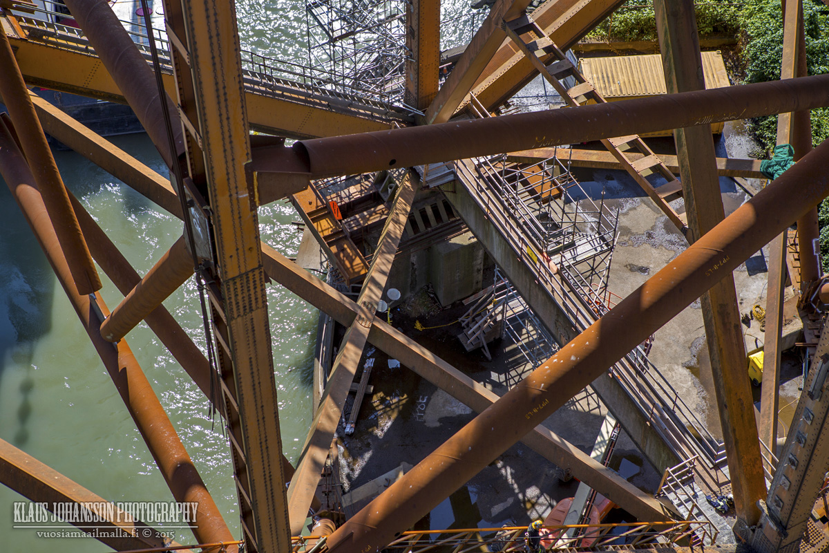
Those welders have balls of steel hanging up there!
I wonder how they are going to be getting all the equipment down?
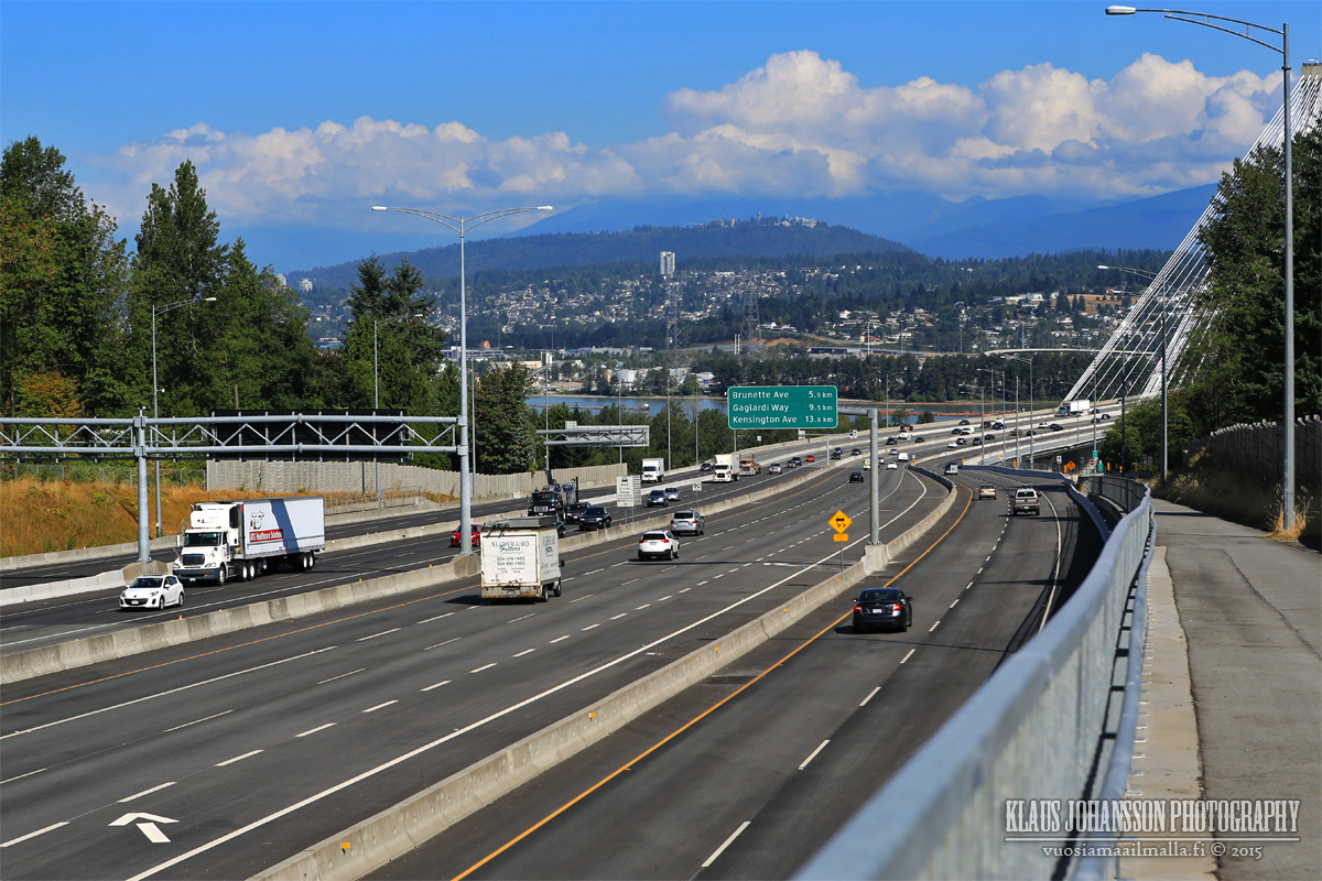
South end of the bridge. The speed limit on the western section of the new Highway 1 is only 90km/h (this is BC), although most people are going A LOT faster.
Looking pretty epic.
There are altogether 12 lanes approaching the bridge that merge to 10 lanes (for 2+3+3+2 configuration). There are 6 through lanes and 4 lanes for traffic between Surrey and Tri Cities.
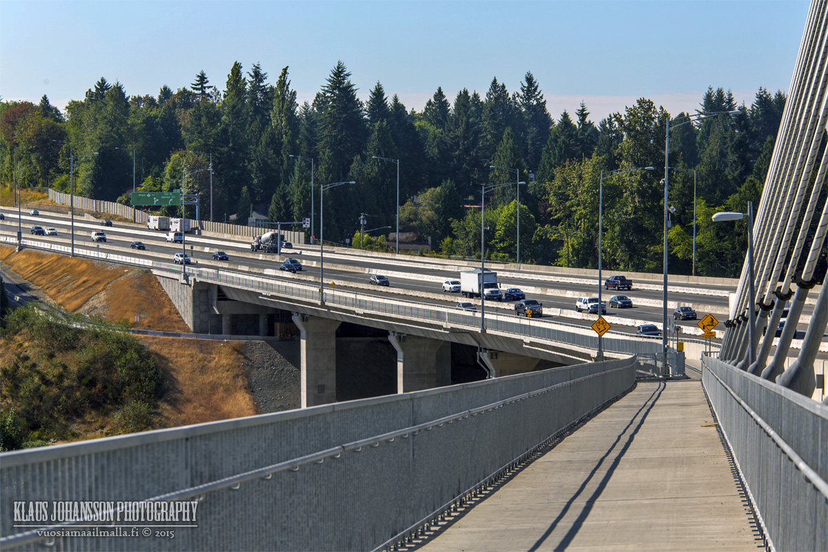
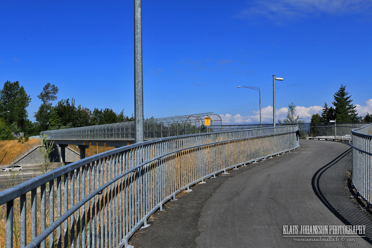
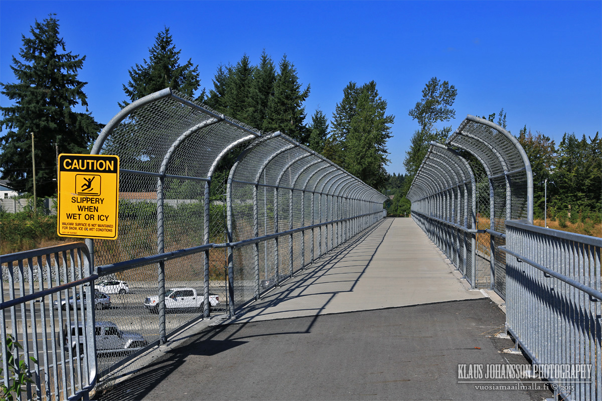
Pedestrian overpass towards Surrey Centre.
Toll to both direction is gathered at the southern end of the bridge with these cameras reading your license plate.
Definitely a big city feeling in this photo!
That's it. Like mentioned, it is a very nice bike ride over the bridge and gives you the chance to admire this impressive bridge much better than when you just swoosh over it by car. It has been quite a project and it's still not complete as dismanting the old bridge is still underway.
The only thing I find the new bridge missing is having any kind of illumination after dark. There is nothing and it is completely dark after the sun goes does, which is a shame. Some colorgul lights would look great IMO.
Oh well, at least it does what it was meant to do and removes a huge bottleneck from Metro Vancouver road system.
I posted this elsewhere but it's probably more relevant to cyclists than anyone else. The stretch of west 3rd through the Mission reserve near Marine is finally under construction:
This is an ugly/run down stretch between two very up and coming areas these days. Not much we can do about the reserve landscaping/houses, but the street should look nice by winter and will no longer be a death trap for cyclists.
As a novice cyclist this road terrifies me and pretty much cuts me off from going west, but with this and the spirit trail connection being done in summer 2016 I can finally get across town.
I posted this elsewhere but it's probably more relevant to cyclists than anyone else. The stretch of west 3rd through the Mission reserve near Marine is finally under construction
Thanks for posting this! It's nice to see something being done at last, and it's probably rude of me to look a gift horse in the mouth, but:
I'd sure like to see some sort of barrier between the bike lane and the heavy commercial traffic on 3rd and Forbes, and
it would be even nicer if there was a right of way along the rail line or through the Mosquito Creek marina so that you could avoid the hill, which is not inconsiderable. The latter route is already half-built, starting behind the Pacific Marine Training Institute and ending in the marina parking lot. When I first saw it I was very hopeful that some day it would be completed right through.
Mosquito Creek Marina to auto mall spirit trail connection will be finished by summer 2016 supposedly. It took them a while to work it out with the reserve.
The Pattullo sure looks rough up close. That bridge is always frightening to cross.
I'm surprised the PMB doesn't have suicide-prevention barriers. With all the talk of needing them from Coastal Health on the renovated Burrard St Bridge, and also how they were included in the Iron Workers Memorial Bridge renos, I'm sort of surprised the PMB didn't also get them. Even the GEB has those barriers. Guess it wasn't in the budget.
Hopefully Coquitlam can work on some improvements to their network. It would be nice to have a safe place to ride from PMB North end connecting west towards New West, even to the Central Valley trail.
Improvements to 3rd Ave are well needed. I didn't' realize there was a plan in the works, thanks for sharing.
They did add that signal and painted the pullout in green paint, definitely makes for a safer crossing, but one can't feel that they are taking their chances riding this section.
I find North Van, in general, has very poor connections between various routes. One is often dumped off a safe lane or route into a major freeway interchange. Lots of work to do!
Here's a link to a story about the bike lanes being blocked just east of Lonsdale. I personally have experienced the dismay of cars blocking the new bike lane and also pulling in and out of the shops with little regard for any of the other traffic (cars and bikes).
Rode my bike to Deep Cove and back yesterday. A good almost 40km trip in 2:25. Anyways, seemed like
- the Ironworkers suicide barrier is almost completed.
- Excavation also well underway with the second tower of Seylynn Village.
- No progress whatsoever with new Keith Road bridge, although signs still claim the new bridge to open in fall 2016.
- Lots of new lowrise and townhouse development going on both along Dollarton Highway and Mount Seymour Parkway.
The Tsawwassen First Nation received $440,000 in provincial BikeBC funding on Sept. 10 to build a new multi-use path for cyclists and pedestrians, heralding a greener future for its residents.
The multi-use path will link Tsawwassen First Nation with the BC Ferries terminal, also connecting to a multi-use path recently opened on Blue Heron Way, which will in turn open up to multiple cycling paths being constructed through residential, commercial and industrial zones.
New Westminster has a grand plan to make its Fraser River waterfront more accessible for walkers and cyclists.
A few months ago, the city opened a pedestrian bridge connecting Westminster Pier Park to Columbia Street at 4th Street.
The next step is demolishing 40 percent of the massive Front Street Parkade.
"It's all part of a larger waterfront strategy for New Westminster," Mayor Jonathan Cote told the Georgia Straight in a recent interview as he overlooked the parkade. "We want to connect our waterfront to our neighbourhoods."
Sapperton Pump Station & Cumberland Point Green Space
Metro Vancouver is developing a new pump station and green space on two neighbouring sites in the Sapperton area of New Westminster.
The projects leverage an essential infrastructure upgrade to create new public green space, expand the Brunette-Fraser Regional Greenway, and restore valuable habitat. We are looking for public input to help shape these projects.
Ways to Get Inolved
Metro Vancouver is inviting stakeholders and members of the public to provide input on this project. Your comments will be used to inform the project and will also be provided to the City of New Westminster. There are a few ways to get involved:
Visit the Metro Vancouver booth at Riverfest: Saturday September 26th from 11 a.m. to 4:30 p.m. at the New Westminster Quay.
Come to the Public Open House: Tuesday, September 29th at the Inn a the Quay (at 900 Quayside Drive). Open house starts at 5:00 p.m.
Complete an online questionnaire: questionnaire will be available from September 15 to October 6, 2015.
I posted this elsewhere but it's probably more relevant to cyclists than anyone else. The stretch of west 3rd through the Mission reserve near Marine is finally under construction!
I had missed your earlier post and boy was I surprised to ride this stretch today as they are almost done! Only six weeks ago there was no sign of any work, so they have not been wasting any time. It will be an excellent addition to the network!
Also west side of Second Narrows Bridge is open now. They have also begun work on the Stanley Park Causeway, so lots of good news for us cyclists!
- No progress whatsoever with new Keith Road bridge, although signs still claim the new bridge to open in fall 2016.
I drive that area daily. Although it may seem like little progress has been made they have been actively shoring up the base around both sides of the river and up against the existing bridge. They have to get that base done before heavier rains hit. I suspect once either side of the bridge span is complete they'll be bringing in prefabricated beams that will span the bridge. It will go quickly early/mid next year.
Yeah, they have really ramped up the work site in recent weeks and after my message. It will be interesting to see how little disruption they manage to cause to the traffic.
Loving the Tsawwassen ferry area upgrades. With a new Massey bridge (for better or worse) it may actually be feasible to bike to the ferry within the next 10 years.
Glad to see the Sapperton upgrades too. New West is plugging along on connecting its waterfront. Fingers crossed that Cote accomplishes it during his term.





 Prev
Prev



 RE: Cycling on the Coquitlam side of the Port Mann bridge
















 Linear Mode
