I'm talking about urban Chinatowns - so not Monterrey Park, Cupertino or Richmond BC.
Where is it located? What is the land area? What's its population and Chinese population? How has it shifted over time? Is it undergoing a lot of gentrification?
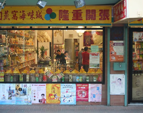
I will start with Toronto. It covers 4 census tracts (tracts 36, 37, 38 and 39) and about 1.5 sq km/0.6 square miles.

Population is 18,500 and Chinese population is 7,500, or 40% of the population.
Population density is 12,168 per sq. km or 31,348 per square mile.
One important thing to note about Toronto's Chinatown is that it overlaps with Kensington Market. The Alexandra Park housing project is also in one of the census tracts. So it is quite a mixed area.
Toronto's Chinatown used to be right behind where City Hall is today. The old Chinatown was demolished to make room for City Hall in the 1960s. Chinatown moved west to Spadina Avenue after they were displaced. Spadina Avenue until the 1950s was the heart of Jewish Toronto.
The Chinese population grew through the 1970s and even more in the 1980s. Since the 1990s the Chinese population has probably been pretty stable - many have moved onto other city areas or the suburbs, but their numbers are replenished by new immigrants.
Extensive gentrification has occurred in the southeast quadrant (census tract 36), where incomes have risen significantly. It's extremely close to the CBD and entertainment district, and the Art Gallery of Ontario and Ontario College of Art and Design are there. This is the least Chinese tract and whites outnumber Chinese in the tract.
The other three tracts are still heavily Chinese and have low average incomes. Kensington Market (tract 38) has also seen some gentrification, but Chinese are by far the largest ethnic group there, and the increase in incomes hasn't been dramatic. In the other two tracts, incomes have stayed about the same over the last 20 years.


 Prev
Prev


 stltoday.com


 Linear Mode
