Quote:
Originally Posted by Minivan Werner

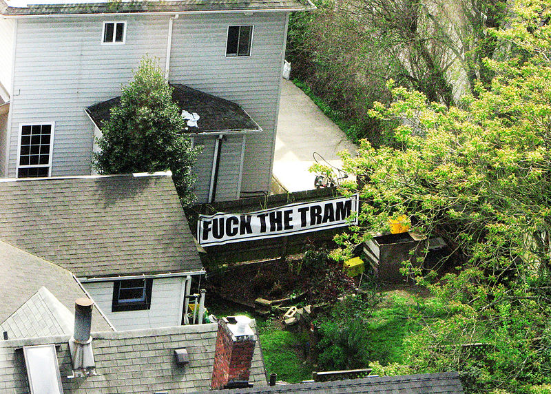
Reading about all the crap that went on when Portland built 1 short aerial tram line, I don't see something like that ever flying on an even larger scale here in Pittsburgh.
|
So that is a different technology, both more expensive per mile and far less useful (since it involves longer wait times, lower capacities, and can only serve the two stations). And in Portland they made it even more expensive with a variety of design choices and such. If you look at a lot of the objections, they are being based at least in part on a combination of its expense and the perception it only benefited a very limited community associated with OHSU.
Of course there will always be NIMBYs (or I guess NOMBYs) no matter what you are doing, but I understand that generally multi-station aerial gondola routes have been very well-received in the South American cities where they have been tried at significant scale, so much so that the bigger problem for local politicians is communities complaining they have been left out. And that is because the transportation benefit is very large, and often they serve communities that otherwise would never get dedicated transit infrastructure for cost reasons.
All that said, it would likely be smart to start with routes that did little if any overflight of SFHs. I believe the "people could look into my backyard!" thing is more a problem in imagination than practice (in most dense urban residential areas, most people's backyards can already be looked into by surrounding buildings and often cars and walkers and such, and most people don't really care about that in practice), but you might still want to sidestep that issue until the benefits of the technology are made more concrete in the minds of local communities.
I'd suggest something like a line through Oakland, the PTC, and over to South Side Works might be a good route to start with. Direct SFH overflight could be minimized (maybe none at all), and if you really could deliver a river-crossing for cheap, that could be an eye-opener for a lot of people. The potential downside, though, is that you would fall back into the problem of this seeming like a route designed to benefit mostly just the university-related communities, so you might also look at either continuing it up through the Hill and back down to Downtown, or up through the South Side Slopes and then over to South Hills Junction, or both, which would greatly expand and diversify the pool of beneficiaries. And in fact that was the original proposal in the post Adam Shuck linked.





 Prev
Prev


 I hate people.



 Linear Mode
