
Green = Completed
Orange = Currently under construction
Blue = proposed or planning
They're fairly committed. Everything on this map is actively being studied. I am not entirely sure where they are on the Pass Lake to Red Rock portion, I am pretty sure it is in the planning stages and they will build it in phases over the next 5 to 10 years. (Or they intend to.)
The light blue portion west of the city is currently in the feasibility/land acquisition stage. There are a couple dozen route options between Thunder Bay and Shabaqua, but the province has to secure the land to build a highway there. All of the land west of the city is privately owned, while the land to the east is largely crown land, and there is less traffic on the western stretch, so it is a lower priority.
The Thunder Bay Expressway freeway conversion is currently in the interchange design stage, and they will be publishing the interchange designs in the coming months. Once the designs are approved, they'll go into detailed work for construction to begin in 2018 at the latest. It will progress in phases over about 6 years, working east to west in the city. The PCs cancelled this project once before, in 1995, so the planning process will go very quick as they simply have to update plans that already exist to reflect changes along the highway over the past 20 years (and there haven't been too many). We just have to hope that the PCs don't get elected in 2018 and cancel it a second time...





 Prev
Prev


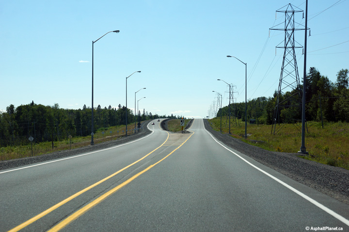
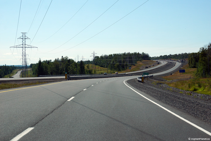
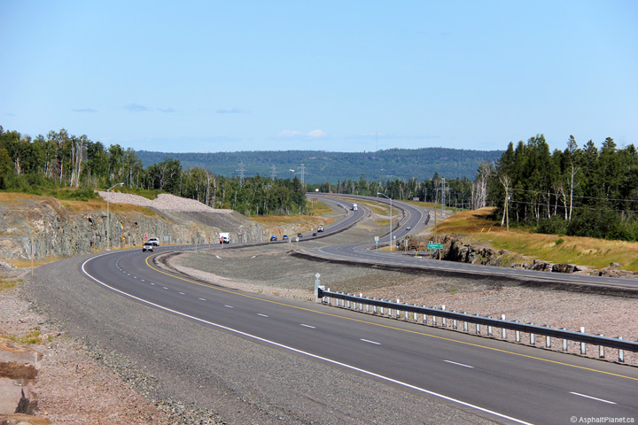
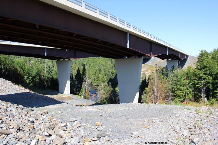


 They're letting us build roundabouts now though!


 Linear Mode
