Here are some more of the Los Angeles City Historical Society pictures mixed with some USC and GSV images. All the Historical Society pictures are dated as either October or December 1935. I've included the captions that came with the Historical Society pictures, although some of them don't seem all that accurate.
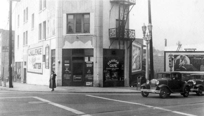
Carioca Cafe at intersection of Figueroa, Flower and Temple, Park Tract.
The earliest reference I could find for this business is Joe's New Carioca Cafe at 800 Temple in the 1942 CD. The 1936 CD has a restaurant owned by George Salazar at that address.
 Los Angeles City Historical Society
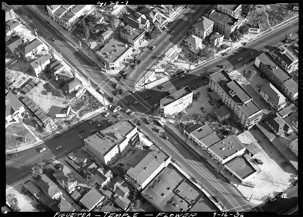
The cafe is the narrow white building just right of center in this 1936 aerial. Also take not of the wedge-shaped building on the opposite side of Temple - I'll return to it below.
 USC Digital Library
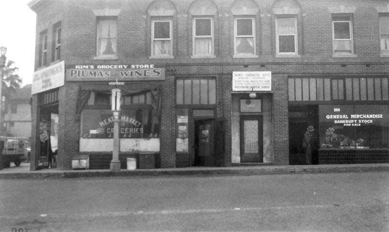
Kim’s Grocery Store, 260 Figueroa; General Merchandise Store of Bankrupt Stock, corner of intersection of Temple, Flower and Figueroa, Block O of Mott Tract.
USC Digital Library
Kim’s Grocery Store, 260 Figueroa; General Merchandise Store of Bankrupt Stock, corner of intersection of Temple, Flower and Figueroa, Block O of Mott Tract.
This side of the building was actually on N Flower Street, not N Figueroa. The CDs list the address of Nora Kim's grocery store as 734 Temple.
 Los Angeles City Historical Society
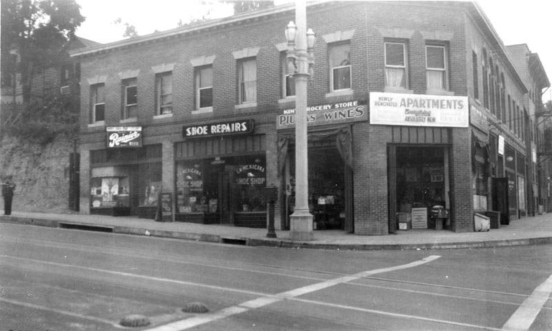
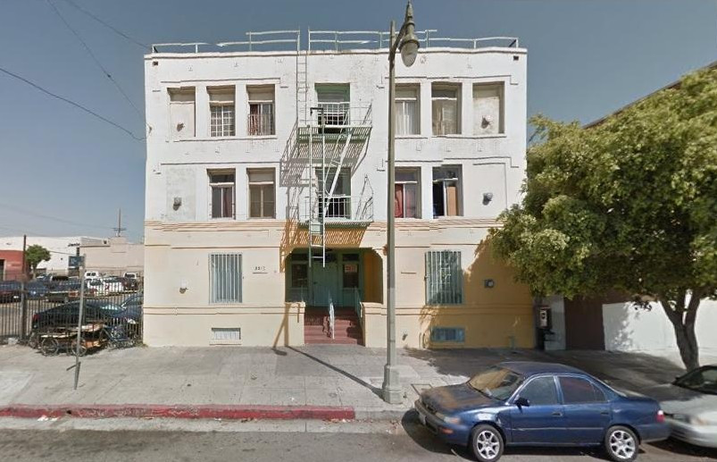
La Mexicana Shoe Shop, Kim’s Grocery Store, and apartments, corner of intersection of Temple and Flower, Block O of Mott Tract. 200 block of South Figueroa.
Los Angeles City Historical Society
La Mexicana Shoe Shop, Kim’s Grocery Store, and apartments, corner of intersection of Temple and Flower, Block O of Mott Tract. 200 block of South Figueroa.
La Mexicana doesn't appear in the CDs. It must've been a trading name of shoe repairer Juan Garcia who is listed at 732 Temple. I can't read the sign on the left, but the CDs of this era list a couple of restaurants at 730 Temple.
 Los Angeles City Historical Society
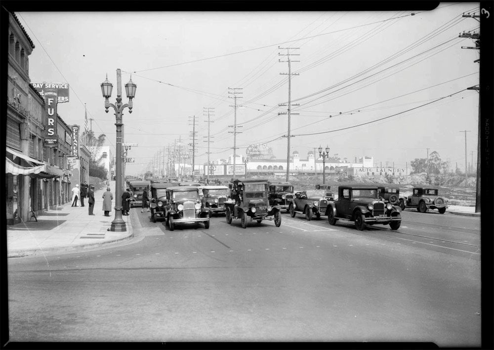
USC have this image of Temple Street looking east at the junction between Flower Street and Figueroa Street. They date it as circa 1930-1960, but it looks pretty close to the images above.
 USC Digital Library
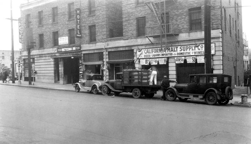
California Malt Supply Company, Montezuma Inn and Hotel Mindein, intersection of Figueroa, Flower, and Temple. Part of Park Tract.
USC Digital Library
California Malt Supply Company, Montezuma Inn and Hotel Mindein, intersection of Figueroa, Flower, and Temple. Part of Park Tract.
I couldn't find any of these businesses in the CDs. I think the hotel is a typo, because I did find the Mindlin Hotel at 403 N Figueroa in 1927-1932 CDs. It seems to have become the Civic Center Hotel according to the 1936-42 CDs.
 Los Angeles City Historical Society
Here's another 1936 aerial view from USC. The Mindlin is the wedge-shaped building I mentioned above.
 USC Digital Library
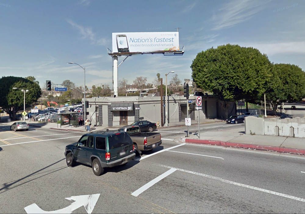
The intersection has obviously changed considerably since the mid-1930s. Not only was Figueroa put into an underpass, but this section of N Flower disappeared when the DWP building was constructed. The aerial below is looking south, and I thought I recognized the outline of the gray building under the billboard just below the intersection. Could it be the first floor of the Mindlin Hotel?

Google Maps
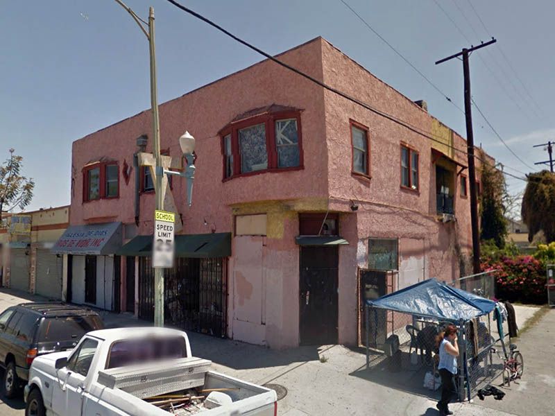
Imagine how disappointed I was when I put my Google stick man across the road and found this.

GSV
There are so many things I hate about the new Google Maps. The only good feature is the ability to see historic Street View images (I always immediately switch back to the classic Google Maps when I've got the image I want). It looks like one story of the old hotel building survived until around 2012.
GSV
For more pictures of this intersection, check out
post #801 by
sopas ej which also quotes an earlier picture post by
e_r.


 Prev
Prev


 It wasn't exactly the Taj Mahal in the earlier photograph.
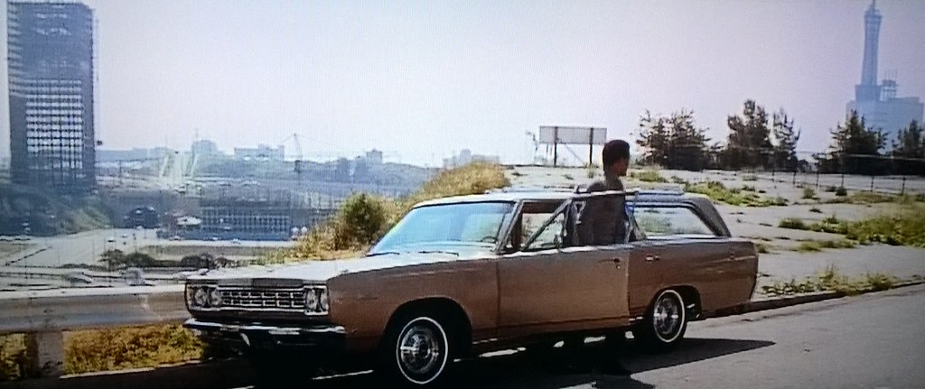 GSJ
GSJ


 Linear Mode
