To remind readers who are less devoted to/interested in Laurel Canyon than I am (i.e. the entire thread readership

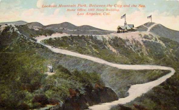
), I had identified Wulff's Peak as a landmark in the 1908 Lookout Mountain Park subdivision. It was the highest spot between Laurel and Coldwater Canyons.
In earlier posts, I located this peak, and even, with the help of 3940dxer, climbed it. I also found that in 1913 the LMP owners sold the land containing the peak ("The Belvedere of America" -
LA Times) to Teapot Dome crook and LA philanthropist E.L. Doheny.
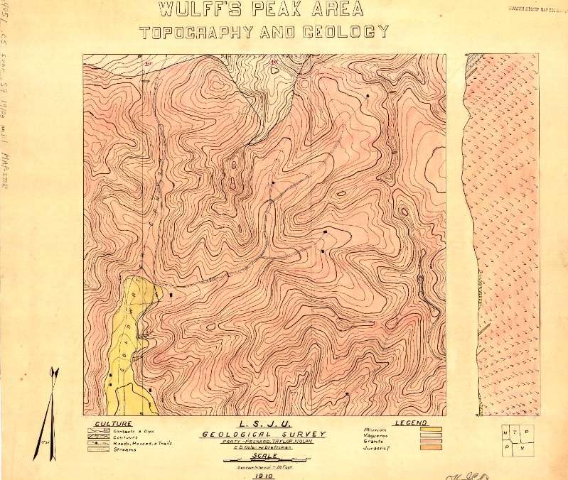
Having nothing better to do at lunch today, I googled "Wulff's Peak" and to my surprise, the first hit was from the Stanford University Libraries:
 http://insight.stanford.edu/luna/servlet/detail/Stanford~3~1~479098911~9597:Wulff-s-peak-area
"L.S.J.U. Geological Survey" seemed like an odd acronym, but then I realized it was "Leland Stanford Junior University." Who knew they had their own version of the USGS in 1910?
Looking at the map, I saw that the only named feature was Coldwater Canyon, but the general topography was familiar. Wulff's Peak is present at the right lower edge of the map, and only if the surveyors had gone even 300 feet to the east, they would have picked up the Lookout Mountain Inn. (The irregular strip on the right side of the map is an elevation view of a line "A" to "B" running from the top to the bottom of the map on its west side.
Here is an inset:

I have marked the curve of Wonderland Avenue (still there) and the Peak itself. As you can see, a road climbed up from Upper Crescent and ascended Wulff's Peak from the south, and ended with a loop around the summit.
This rang a bell with a 1909 newspaper "bird's-eye view" posted by
e_r:

This highly embellished view shows a loop road around the summit, too. So it seems that the newspaper view was based in reality, although it called the mountain "Wullf's Peak."
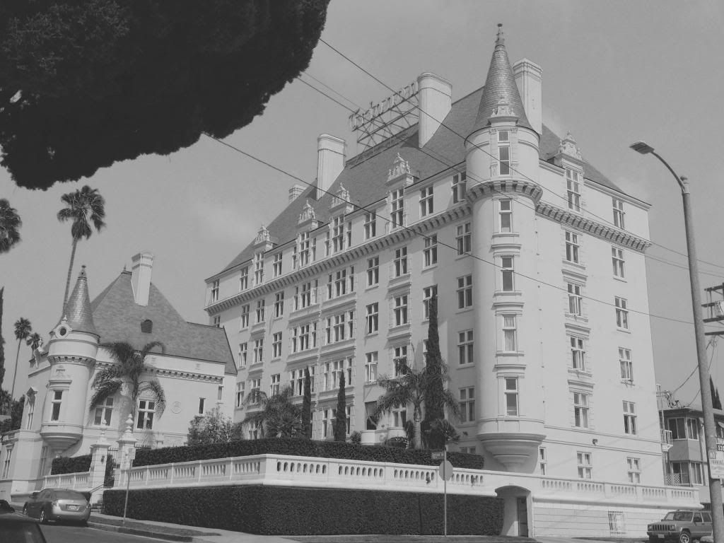
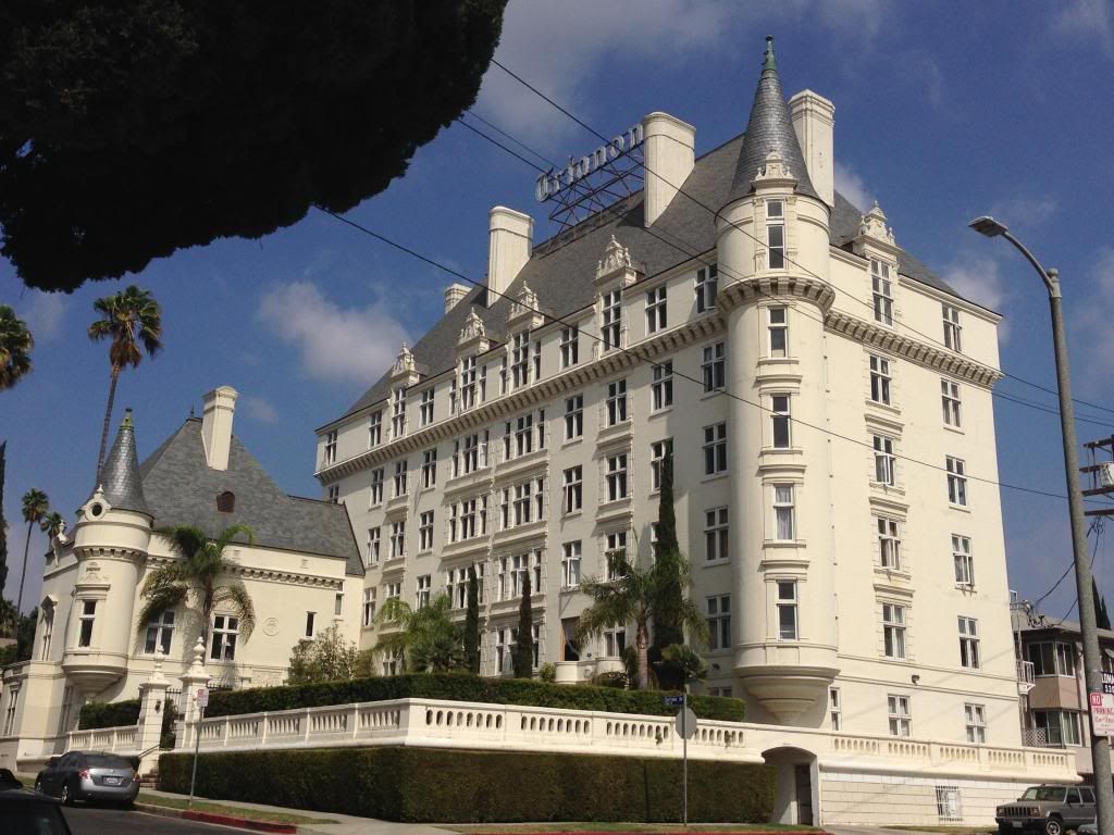
When Doheny bought the mountain in 1913, I am sure he blocked off access for the unwashed who would have come from the area of the Lookout Mountain Inn (today 2355 Sunset Plaza Drive).
Samuel Johnson's observation that patriotism is the last refuge for a scoundrel is furnished here an object lesson from 1914:

Interestingly, the road up the peak is missing from the 1926 USGS topo, an insert of which follows below, with the missing road drawn back in in blue:

Today Wulff's Peak is anonymous on maps, fenced off from the public, and festooned with water tanks and antennas. I wonder how long the giant flag lasted. These things seem to be seen only at SoCal car dealerships today, possibly some scoundrels there, too


 Prev
Prev


 I was intrigued by that 'whiffenpoof' headline as well kanhawk.

 ), Lorendoc. Maybe Samuel Johnson would've been more impressed with the use of the English language in the article. I loved the line "Mountain roads are seldom laid out with a ruler. They are full of quips and quirks and wanton wiles."

 I've seen flags flying over Lookout Mountain in postcards.


 LAPL
LAPL


 Linear Mode
