Finally, something I can comment on!
In the middle of Circle Park is a fountain, the park is "private" with signs saying its open to members of the Beverlywood HOA...
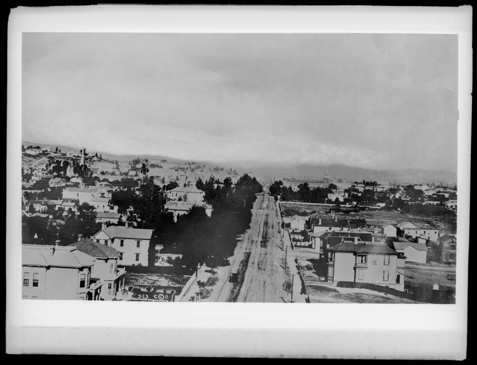
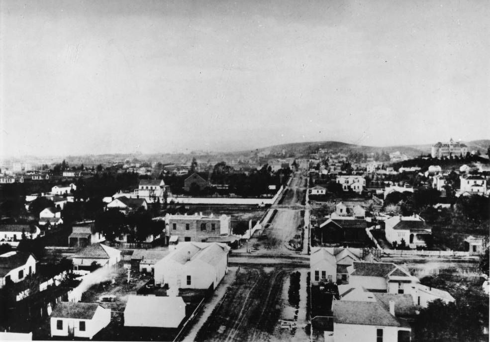
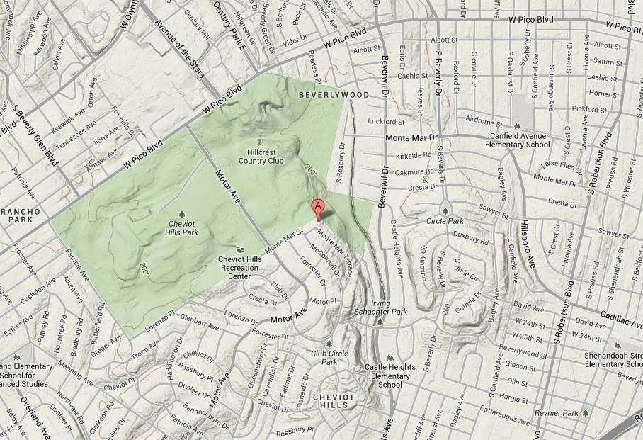
Regarding Airdrome, I've researched that pretty extensively and from what I can tell there was never an airport around there. In 1923, it was named Sixteenth Street...according to a tract map I have.
Looking at original tract maps from the 1920's, I found that Airdrome east of Roberston Blvd originally included a Pacific Electric right of way on the south side of the street all the way to Venice Blvd, but was never used. Eventually, it looks like additional homes were added on the ends of the streets over the right of way, making it a narrow street with sidewalks only on the north side.
Why they called it Airdrome? I haven't been able to figure that out.
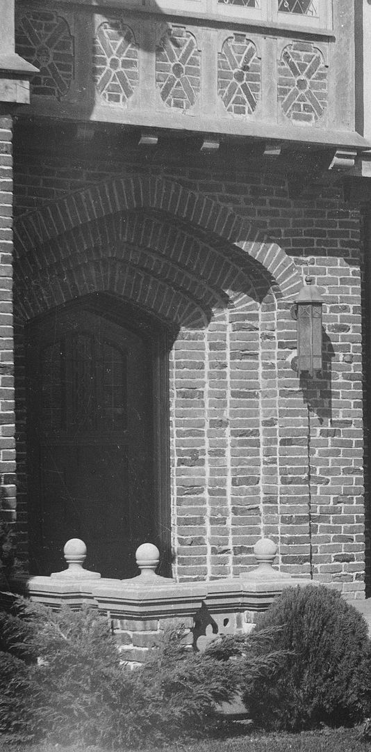
(I have been looking for street-level pictures of this area for a number of years...with no luck so far.)
Quote:
Originally Posted by ethereal_reality

posted earlier by Flyingwedge
google maps
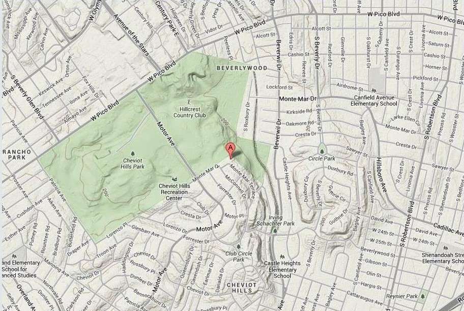
I don't know this area very well, so I thought I'd check out Circle Park.
Does anyone know what this is in the park? My first thought was penguin pool. lol
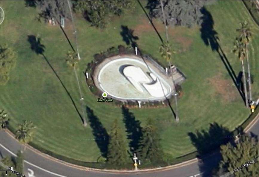
google aerial
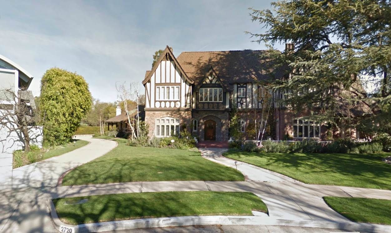
Here it is from the street.

google street view
__
Also, Airdrome Street caught my eye. (it runs from Rexford Drive east to Ellsmere Avenue)
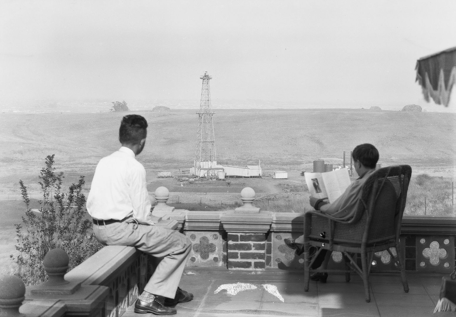
I am trying to remember if there was an early aviation facility in this area east of Cheviot Hills.
__ |


 Prev
Prev


 LATimes May 30, 1926
 LATimes May 30, 1927
 LATimes Feb 8, 1920
 GSV
GSV LATimes Oct 4, 1950


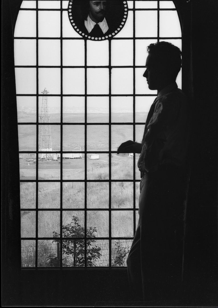
 I heard there's a large banner of Magritte's 'Le fils de l'homme' ('The Son of Man) somewhere in the vicinity of Los Angeles' Pershing Square. Has anyone here seen it? (a new forum member emailed me about it, and now my curiosity is up)

 Linear Mode
