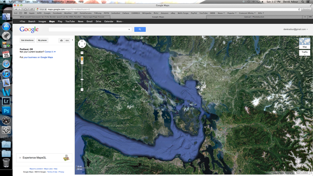
If the border were drawn on the 48th parallel, there'd be another Point Roberts-type issue, but this time in reverse: the northern part of Everett, WA (Google Maps calls it "Northwest Everett" and "Delta") would be in Canada, though it would be accessible by way of a bridge across the estuary.
As it is, there is another such feature on the current border at 117.5W just southeast of Trail formed by the final miles of the Pend-d'Oreille River.
I believe that the British surveyors had noticed the Point Roberts issue and had proposed swapping it with the Pend-d'Oreille loop but to no avail.
Quote:
Originally Posted by Pinion

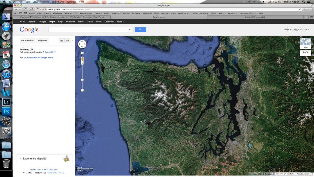
The loss of the Fraser Valley would really make it difficult to see the region as one country. I would imagine Victoria would be much larger, and maybe even Vancouver Island would remain a separate British commonwealth country.
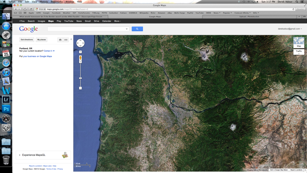
The border should be the Columbia river (current border between WA and OR) though. Then maybe the other Vancouver would be Canada's largest west coast city.
|
I agree partly on this. East of the Rockies the original pre-War of 1812 border was the watershed between Hudson's Bay and the Mississippi. If that had remained as the border rather than the 1818 Treaty border of the 49th parallel (which was easier to survey in the eastern Prairies than the watershed), then the border would have ended in the Montana Rockies at
Triple Divide Peak in what is now Glacier National Park. The logical border west of that point would have been to follow the "main channel" of the water flowing down from the west side of Triple Divide Peak to the Pacific (the notion of a "main channel" is admittedly a bit absurd on the side of a peak, but once you get down into the nearest valley and the first stream, it makes sense afterwards).
Such a border route would follow, appropriately enough, Pacific Creek off the west side of Triple Divide Peak into Nyack Creek, then along the Middle Fork of the Flathead River, naturally enough the Flathead River and across Flathead Lake, then down the Clark Fork into Lake Pend Oreille (which would probably be Lake Pend d'Oreille instead) and the aforementioned Pend-d'Oreille River and finally down the Columbia.
That would have given us some of northwestern Montana, the current border area of Idaho north of Lake Pend Oreille and all of Washington west of the Columbia. In exchange, we would not have the Pend d'Oreille loop. On the prairies we'd gain most of North Dakota, part of South Dakota, northwest Minnesota and northeast Montana while losing part of the Cypress Hills area of southeast Alberta and southwest Saskatchewan that drain into the Missouri River (e.g. the Milk River).
The way I see it, once the border across the Prairies was established as the 49th, the 49th came to have a logic all its own. In that context, making the Columbia the border from around Trail downstream would have just left the American side feeling robbed of what is now western Washington. But if the border across the Prairies has been the watershed line, then logic would strongly dictate just following the course of the water down to the Pacific, especially since this would result in the natural border of the Columbia forming a long part of the border anyway.


 Prev
Prev


 Linear Mode
