Quote:
Originally Posted by officedweller

.
The historic connection to English Bay is probably a fallacy.
|
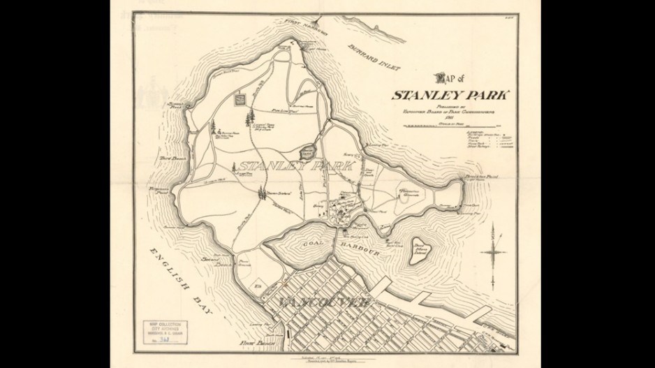
Is anybody suggesting that Lost Lagoon was historically connected to English Bay? All the commentary I've seen says the plan is to connect the Lagoon to tidewater, which it was before the causeway was built to cut it off from Burrard Inlet. There are other earlier maps in the archives that don't show any water where the lagoon is today, but just mudflats. It's called Lost Lagoon because at high tide there was a lagoon, and at low tide it disappeared.
I assume the plan for the connection to tidewater in both English Bay and Burrard Inlet is to allow water to flow through, to flush the lagoon. Obviously the amount of water coming in from the Burrard side will be far less than over a century age, when the causeway was a bridge.
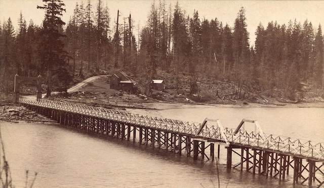
Entrance to Stanley Park 1889 – Public Domain City of Vancouver Archives St Pk P115 on
Miss604.





 Prev
Prev




 Linear Mode
