Quote:
Originally Posted by Let's Build

This is really helpful thanks for Sharing!
Does anyone know of a service that shows a MAP of PEI with PIDs that also shows current zoning and whether or not the property is in the special planning area?
I recently found this forum and I am the co-owner of a pre-fab manufacturer on PEI that built panels for a number of projects on this thread. We are looking for land to build a new and expanded factory on and It's challenging to find land that's large enough (3 acres minimum) and either zoned for our use or able to be rezoned so I'm looking for a place to see zoning, PID and SPA status all in one place. Unfortunately I don't think it exists due to PID/zoning and SPA status being controlled by different governments.
|
Municipalities with an official plan and land use bylaws would issue the development permit (different than a building permit). Zoning would be handled by those municipalities. Here map showing the areas of the province covered by a municipality, the areas in green handle local land use planning:
https://www.princeedwardisland.ca/sites/default/files/publications/municipalboundariesjune23.pdf
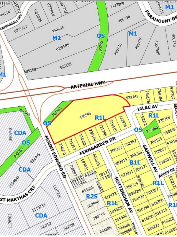
Charlottetown, as an example, maintains a public land use map. I’d imagine the other municipalities have one of their website, or could share one if you asked.
https://www.charlottetown.ca/resident_services/maps
If you’re looking at land outside of a municipality, you’d be applying to the province for the development permit.
Either municipal or provincial, rezoning processes exist.





 Prev
Prev






 Linear Mode
