Hamilton has several bridges meeting the critera.
1. the
Burlington Skyway is one of the most prominent features in the metro area. The first side, a suspended deck through-arch truss bridge, was built in 1958 and was tolled until 1973 (I actually have an old toll token for the bridge in my house somewhere). A second more traditional span was constructed in 1985. The first span is the longest, at 8,400ft and a 495ft main span. It is the largest bridge in Ontario that is not an international crossing. A shortcut around Burlington Bay, the bridge carries traffic from New York State, east Hamilton, and Niagara into the GTA. It carries around 175,000 cars a day.
 https://versilis.com/projects/burlington-skyway-bridge/
2. Immediately beside it is
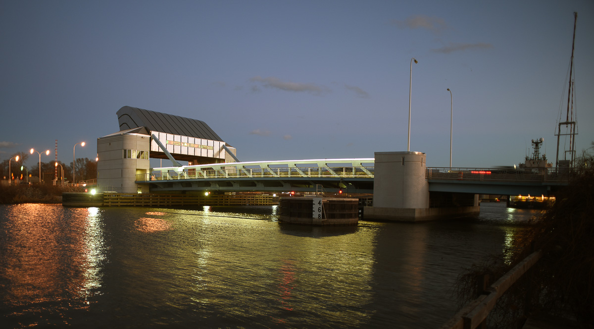
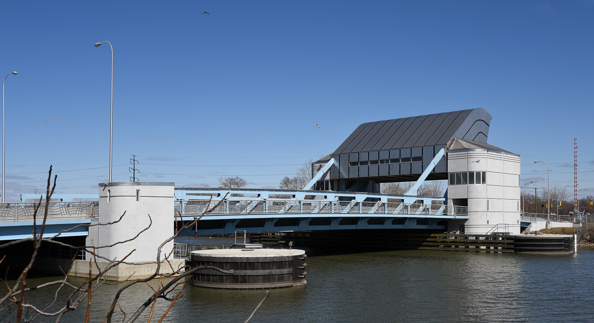
Burlington Canal Lift bridge - a large 4 lane bridge which serves local traffic on the Burlington Bay spit. Unlike the Skyway, which is provincially owned, the Lift Bridge is federally owned (displayed prominently in this image). It's 381ft span lifts 120ft vertically to allow lakers to access Burlington Bay. You can see the pre-confederation Burlington Canal Lighthouse (1858) adjacent.

2. The
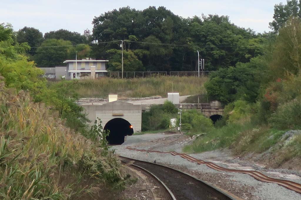
Thomas B. McQuesten High Level Bridge is an 365ft art-deco bridge which serves as a primary arterial road entry to Downtown Hamilton. The bridge crosses over a major tributary into Burlington Bay (Cootes Paradise) as well as rail tracks connecting into Downtown Hamilton, creating a unique, multi-level type view.
 https://www.reddit.com/r/Hamilton/comments/p0nvbo/thomas_b_mcquesten_high_level_bridge/
The bridge features wonderful art deco features:
 https://www.hmdb.org/m.asp?m=269845
4. Despite being technically the second longest bridge in the city by total span, the ~700ft bridge structure carrying the Red Hill Valley Parkway partially up an approach to the Niagara Escarpment has no name:
https://www.google.com/maps/place/Hamilt..._ep=EgoyMDI1MDkxMC4wIKXMDSoASAFQAw%3D%3D
It is not particularly remarkable.
Though not Bridges technically, Hamiltons most interesting pieces of road infrastructure lie in it's mountian accesses - roads used to climb the ~300ft tall escarpment which runs right through the middle of the city.
The Claremont Access is the largest, initially built in the 1970's with 6 lanes of traffic (since downgraded to 4 due to rockslides and the addition of a bike lane). It has an interesting view with the Arkledun Access, which crosses it on an opposing angle:
 https://thepublicrecord.ca/2023/11/clare...n-thursday-by-lunch-hour-city-hall-says/
The Sherman Access is older, with reversing lanes for peak periods and an interesting cut deep into the escarpment on it's uppermost extent which meets at a T intersection with roads declining down the escarpment in each direction:
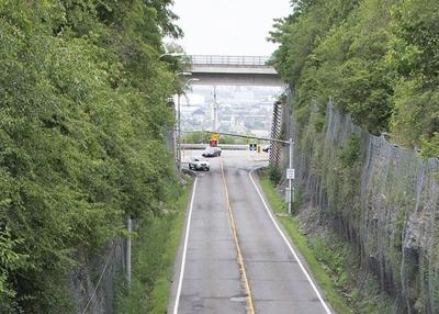
It was constructed in the early 1930's:






 Prev
Prev








 .
. 





















.jpg)





 Linear Mode
