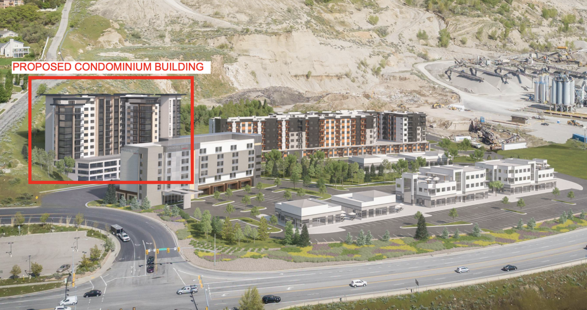
A question about that development at Point of the Mountain.
And I ask this with sincere upmost respect for the developer...

But... ARE THEY ON CRACK? They do realize that they
accidentally just created a massive commuter shortcut to Porter Rockwell Blvd that will probably see 100,000+ cars a day wriggle their way through, right?
As you know, currently P. R. Blvd. swings so far toward the north, as it follows the hillside, that it doesn't grab I-15 again until 14600 South in Salt Lake County. That makes it very impractical as a way to grab Mountain View Corridor. At that point a person would just continue to Bangerter Highway and use 13400 South.
Yes, most of the traffic destined for W. SLCo will hit 2100 North through Lehi, like they are
supposed to.
And yes, drivers entering at Timponogas Highway
might drive a mile south to 2100 North, like they are supposed to.
But once this development opens and connects a new interchange to I-15, it will:
1. Cut the "triangle" off P. R. Blvd., making it a viable east-west shortcut.
2. Cut the adversarial eastward diagonal off I-15 (between this interchange and 14600 South).
3. Point traffic toward the beneficial westward diagonal on SR-85.
It's no shock that Mountainland AOG even have a vision of a "Point of the Mountain **Freeway**" on their regional transportation, not far from this development. It's unfunded. But they know the potential for it to carry a helluva lot of traffic. (Hence why it's envisioned as a freeway connector!)
And this developer blindly just thinks they can toss a small roundabout at the problem?
Which municipality is asking for the Traffic Impact Analysis on this? Lehi?
I cannot state this more clearly:
This is a traffic bomb!
(It's okay for them to connect this shortcut together. But they need to build a street plan that takes this into account. That, or don't connect it at all.)





 Prev
Prev





 [/IMG]







 [/IMG]
 [/IMG]
 [/IMG]
 [/IMG]
 [/IMG]


 Linear Mode
