Quote:
Originally Posted by ethereal_reality

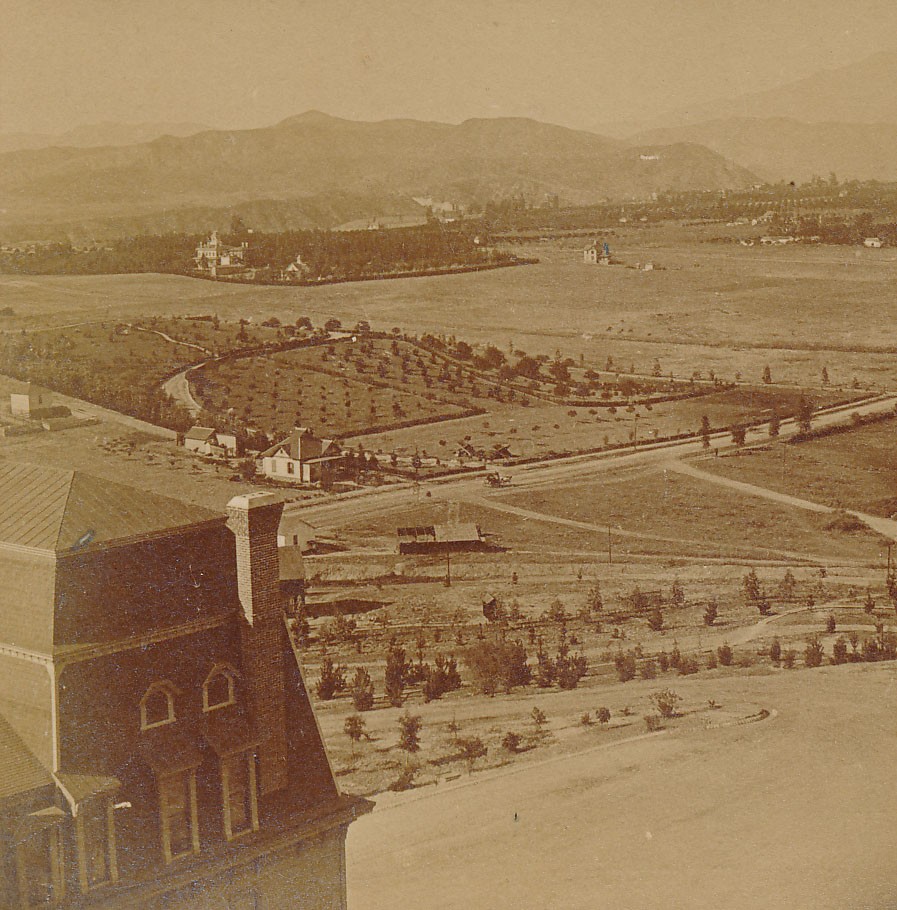
The description of this stereoview is more vague.
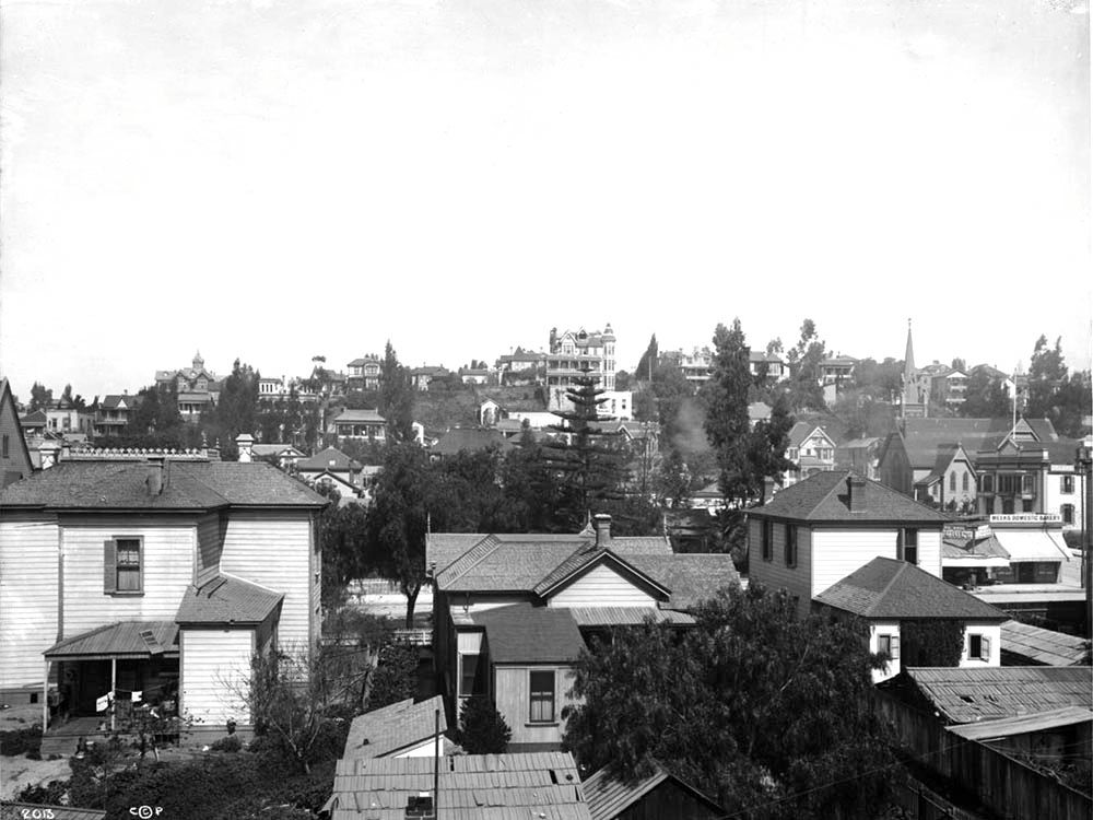
"Los Angeles from the Hills, California"
 http://www.ebay.com/itm/LOS-ANGELES-...item35e58be0b9
I believe I might have posted a smaller image of this view earlier on the thread, and if I remember correctly,
we never decided on it's exact location.
__ |
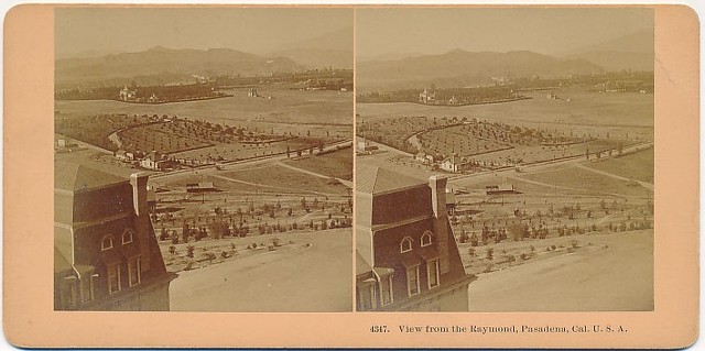
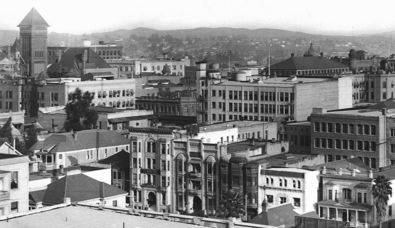
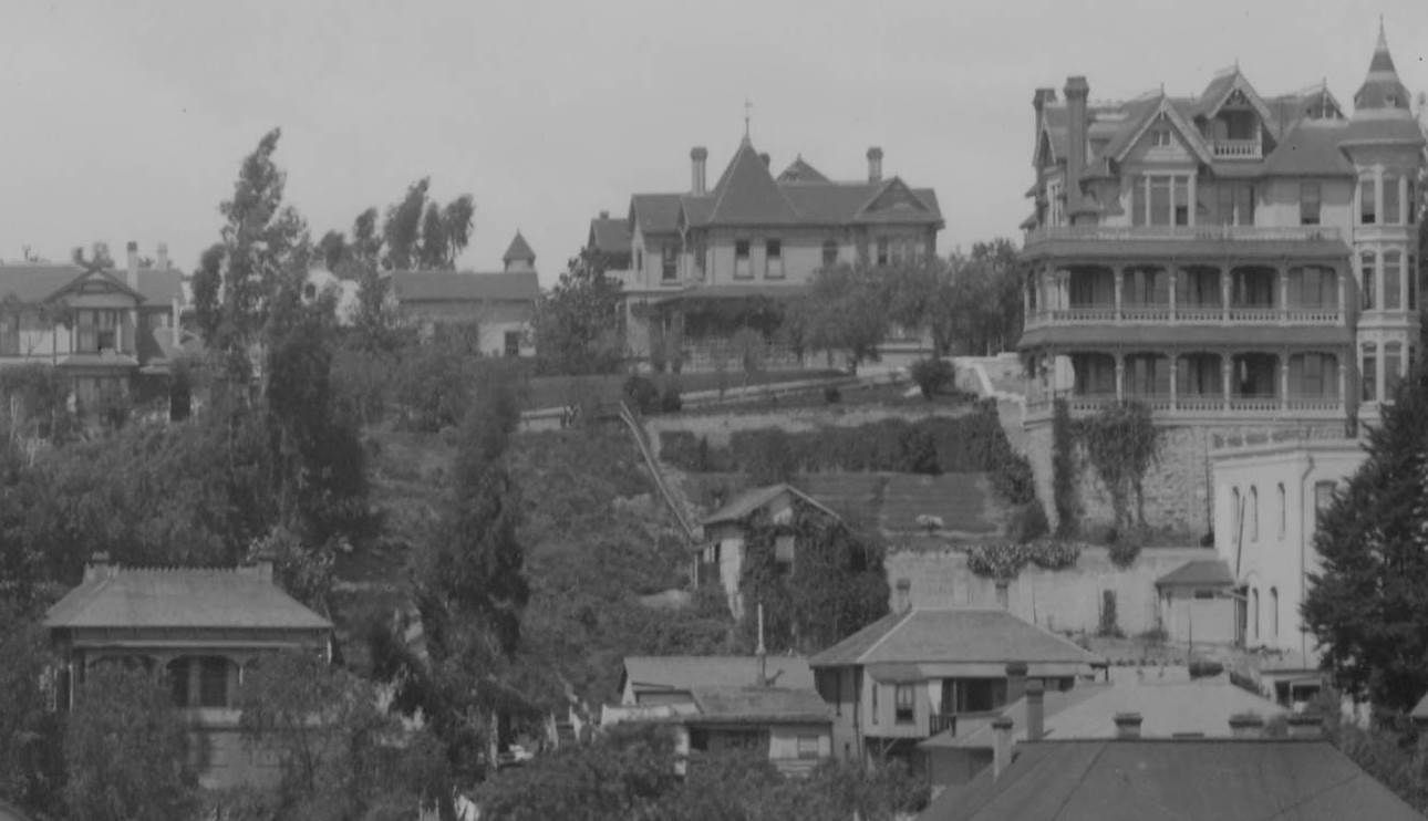
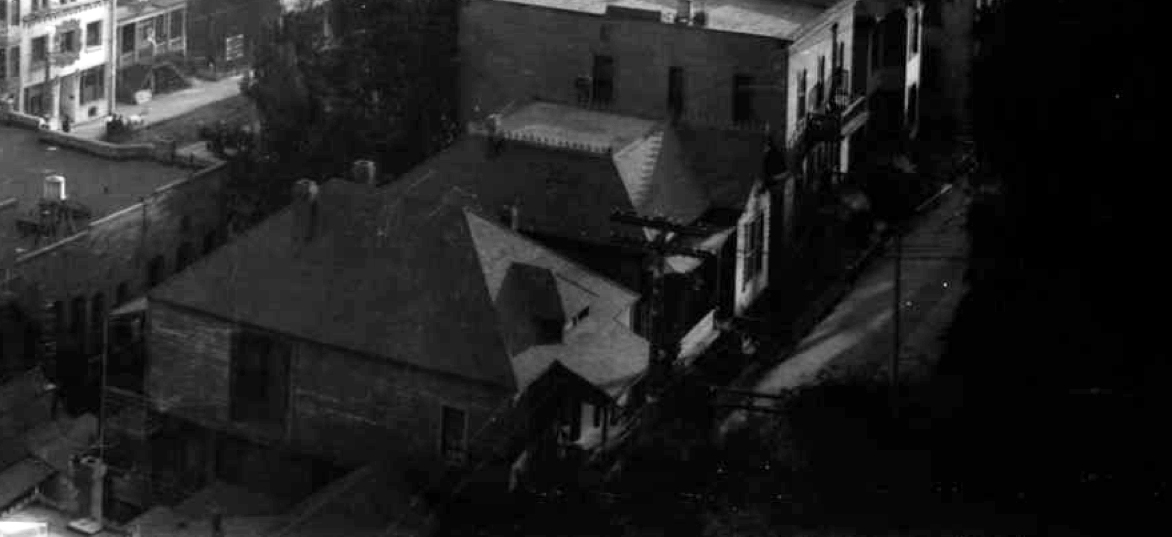
Absolutely right, the building at left of center, behind the tree, is the Hotel Colonade (though when the Stereoview was shot it was known as The Whipple Boarding House) at 328/330 South Hill. Here, for example, is a shot taken from about the same vantage point, but a short time later:
 huntington
—note that the Stereoview is dated 1895, and in the photo above the 1896 Hotel Aldine (326 S Hill) is now neighbor to the Whipple. Facing Clay St, that's 316, 320, and 324/6 Clay, while we see the backs of 315, 317, and 319 Hill St (note the
fire station at 346/8 which, like the Aldine, also 1896, also Robert Brown Young)...
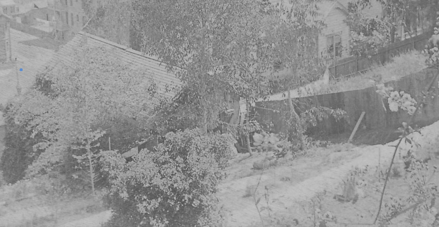
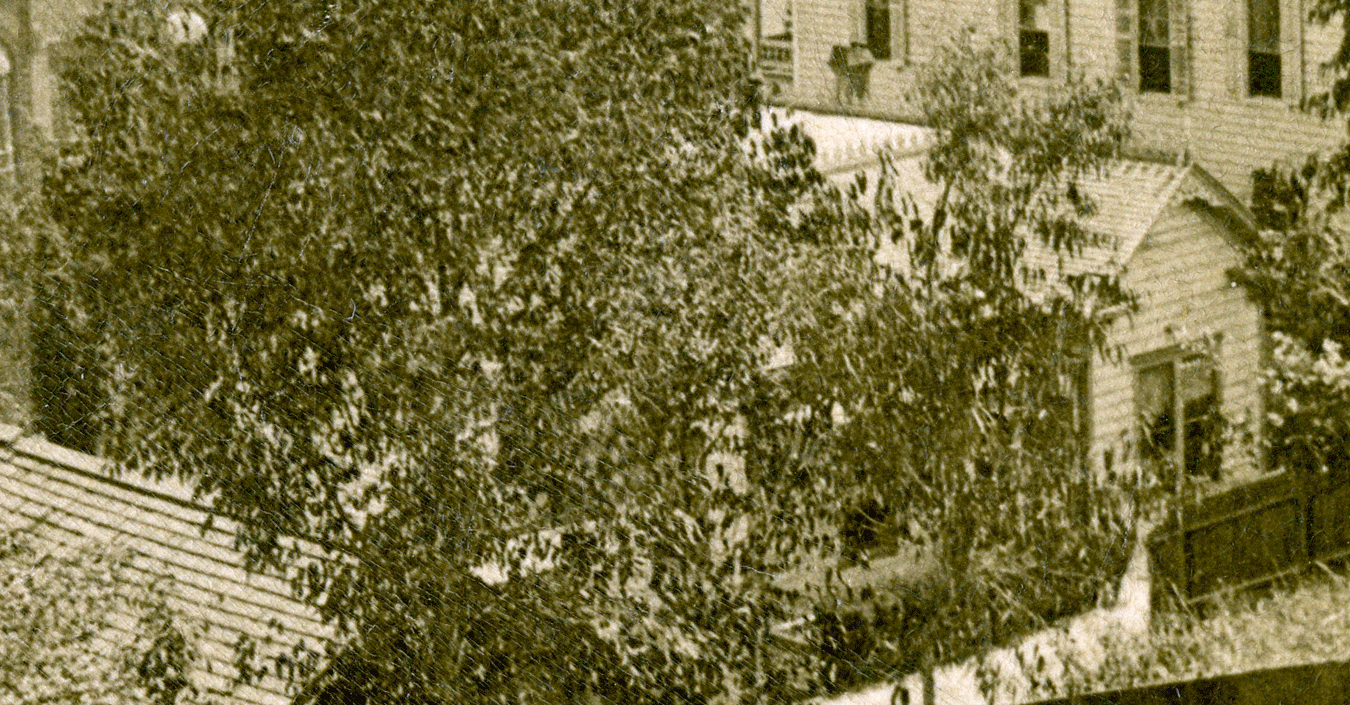
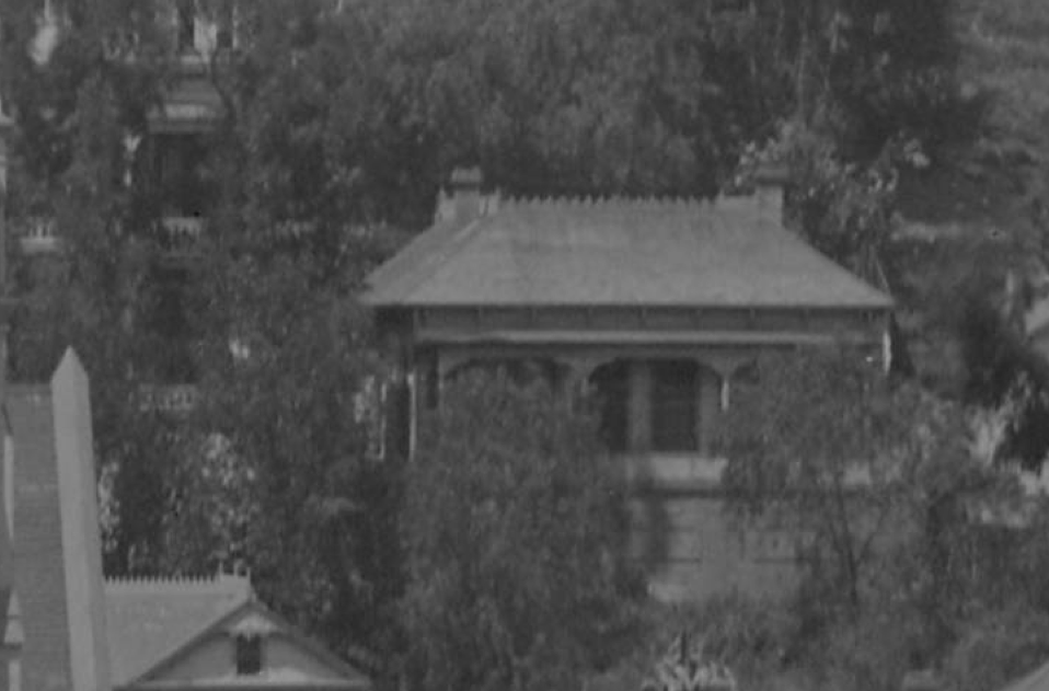
But back to the Stereoview, I'm not so sure we're looking from the Crocker, which was my first thought too: I thought we were looking onto unpaved Clay St without the improvement of the flats there but the 1894 Sanborn proves me wrong on that; I believe we're looking from the back porch of 316 or 320 Clay, over the roofs of 319-21 Hill; the structure with the two towers is 325 S Hill. What a remarkable structure that is. Don't know that I've ever seen a proper shot of it. It's there in the '94 maps and gone by '06.


 Prev
Prev


 )
)


 GSV
GSV


 GSV
GSV GSV
GSV


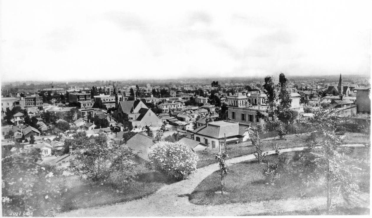

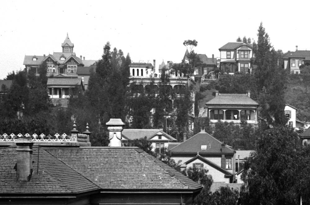
 My whole theory about being in the back yard of 320 was absolute rubbish...about which I am terribly glad, because wondering about the twin-towered building as being on Hill Street was vexing me utterly. It makes much more sense that those towers were the backside of 324 Clay.


 Linear Mode
