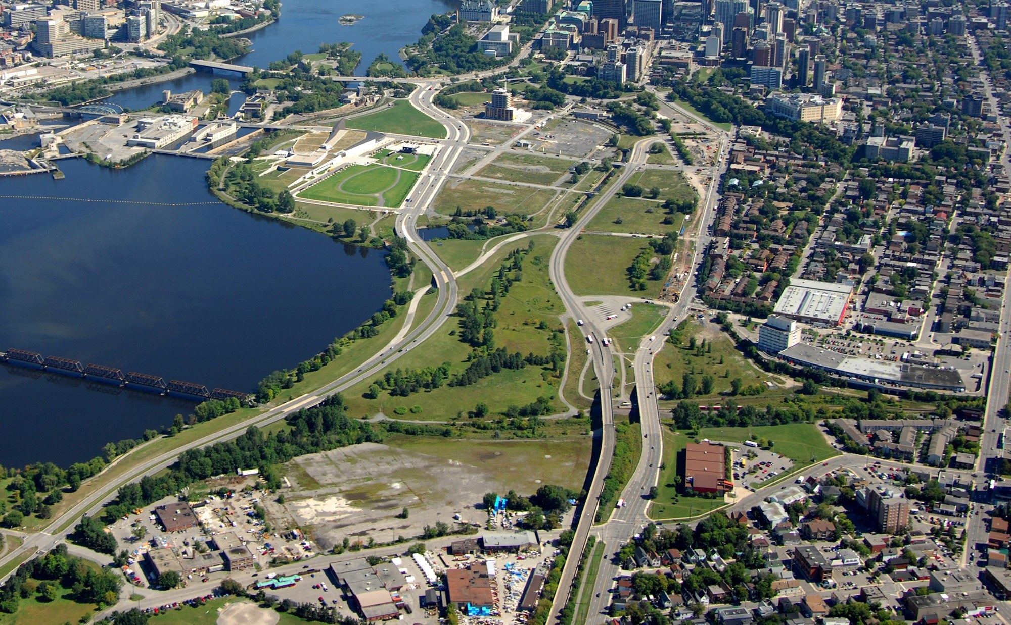
Bayview at the lower, right and LeBreton Flats in the centre, right. Parliament can be seen at the top, right. Industrial area (now Zibi), top, centre.

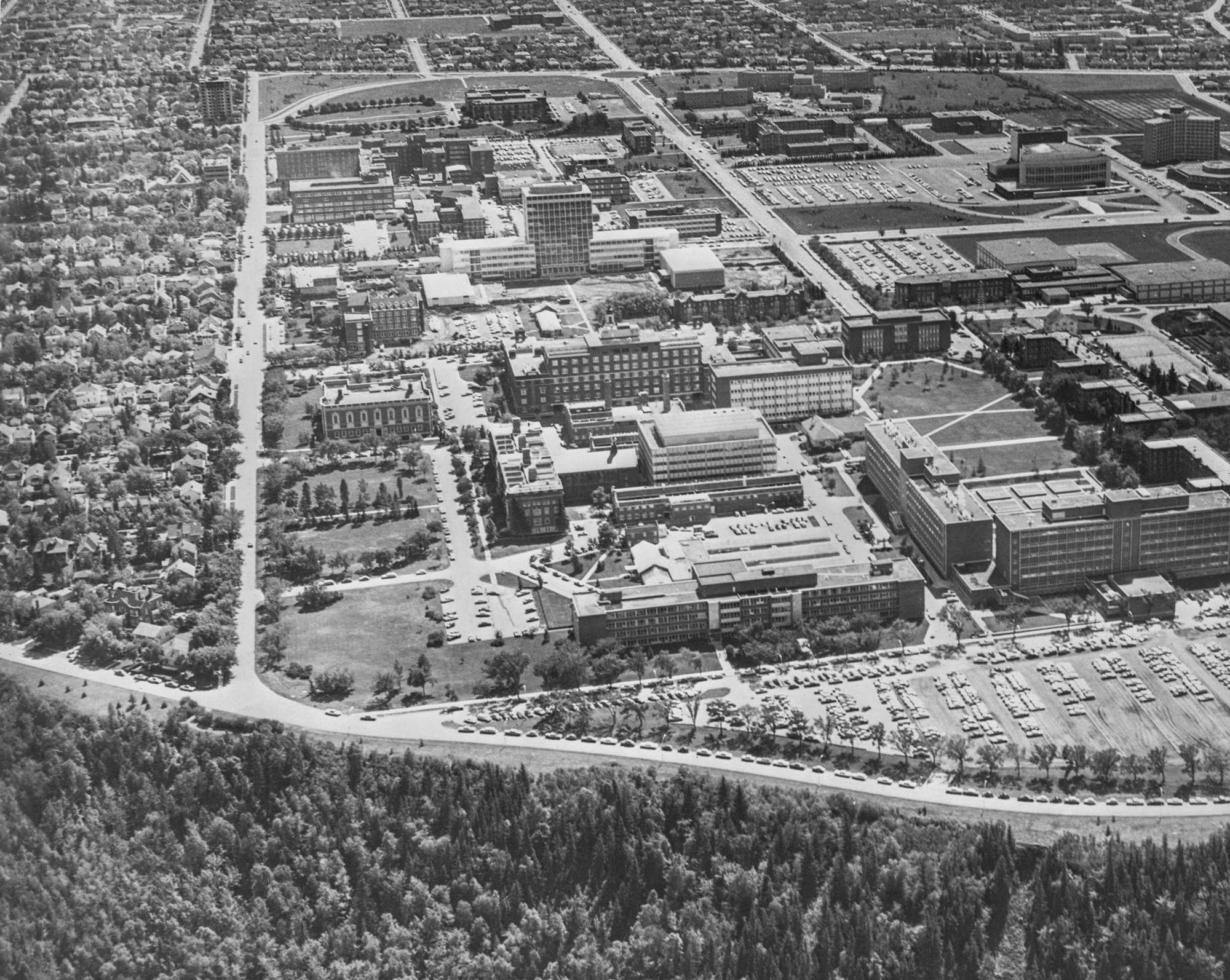
Around 2005 before the ward Museum.
 https://www.researchgate.net/figure/...ig18_333614452
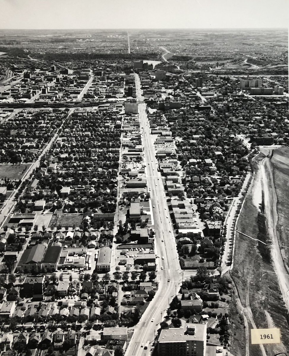
Similar view roughly 15 years ago, Parliament out of frame at the top. The 1880 bridge that leads to Bayview, formerly the Prince of Wales, not Chief William Commanda, used to be a freight railroad bridge, but is currently being converted for pedestrians, cyclists.
 https://ncc-ccn.gc.ca/news/a-milesto...adas-capital-1
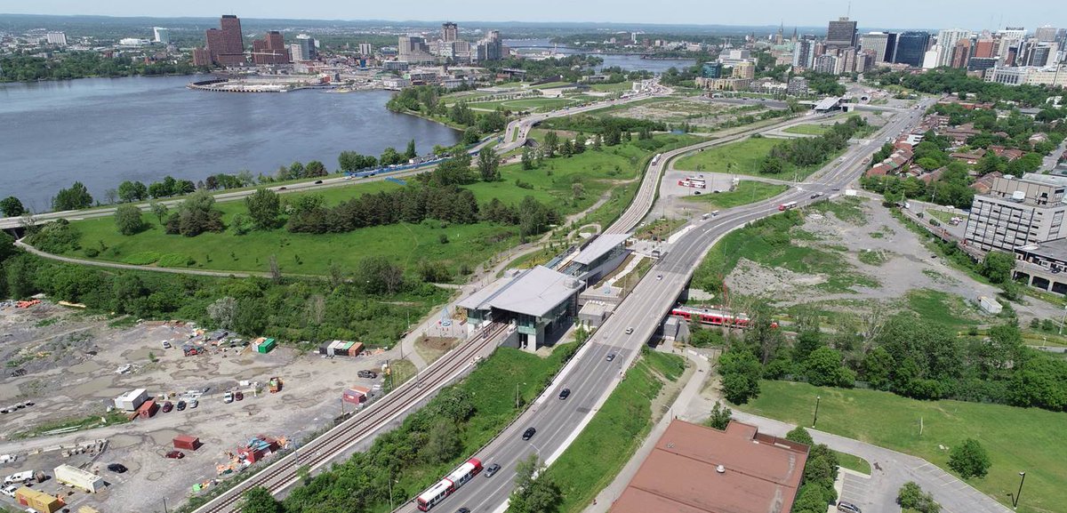
And around 2018, with the Transitway converted to rail, but the very early stage of the Zibi development.
 https://globalnews.ca/news/8417668/o...events-centre/
LBreton's future, turning the camera about 90 degrees towards the south (left). Parliament out of frame to the left and Bayview out of frame to the right.
 https://twitter.com/caphistottawa


 Prev
Prev


:format(webp)/https://www.thespec.com/content/dam/thespec/news/hamilton-region/flashbacks-hamilton/2022/09/20/hamilton-antique-postcard-show/cards.jpg)
:format(webp)/https://www.thespec.com/content/dam/thespec/news/hamilton-region/flashbacks-hamilton/2022/09/20/hamilton-antique-postcard-show/bartonincline5.jpg)
:format(webp)/https://www.thespec.com/content/dam/thespec/news/hamilton-region/flashbacks-hamilton/2022/09/20/hamilton-antique-postcard-show/human_fly.jpg)
:format(webp)/https://www.thespec.com/content/dam/thespec/news/hamilton-region/flashbacks-hamilton/2022/09/20/hamilton-antique-postcard-show/hamilton.jpg)
:format(webp)/https://www.thespec.com/content/dam/thespec/news/hamilton-region/flashbacks-hamilton/2022/09/20/hamilton-antique-postcard-show/realphoto1.jpg)
:format(webp)/https://www.thespec.com/content/dam/thespec/news/hamilton-region/flashbacks-hamilton/2022/09/20/hamilton-antique-postcard-show/james_incline.jpg)


 Linear Mode
