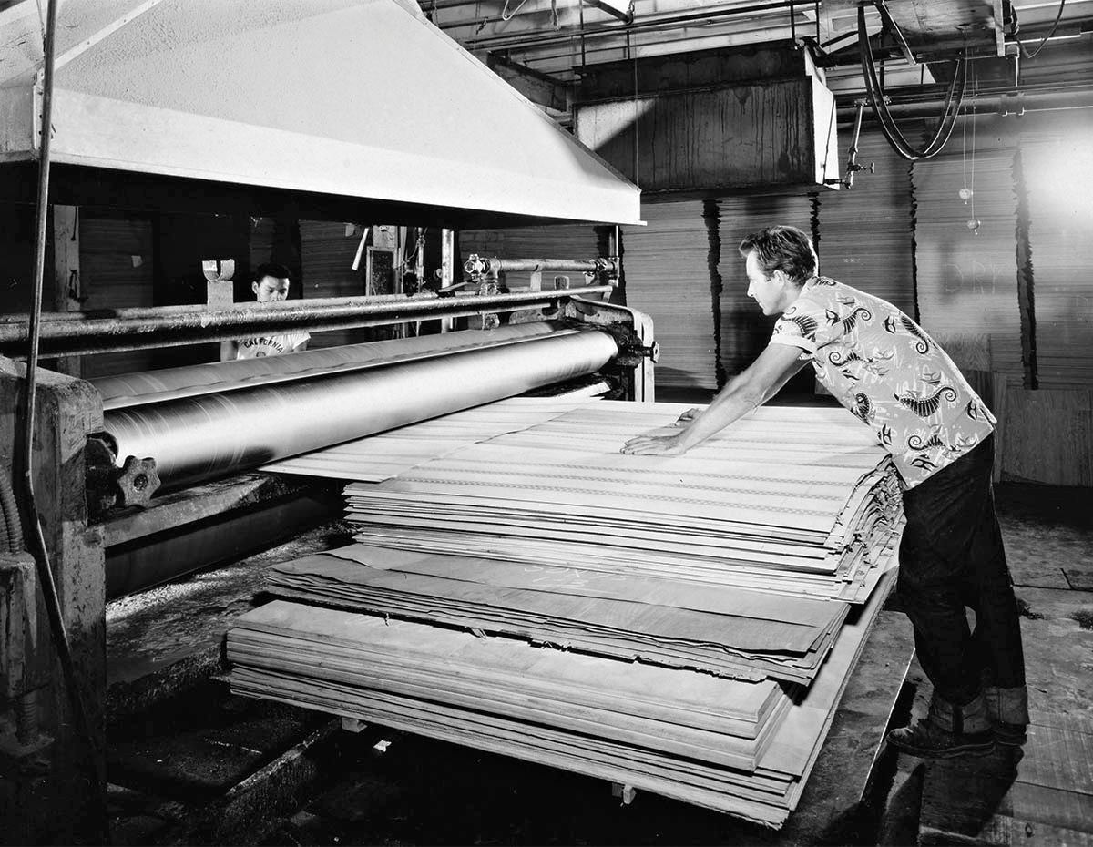
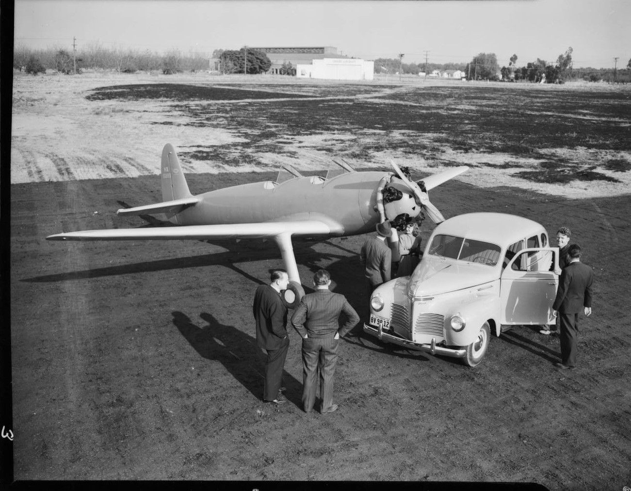
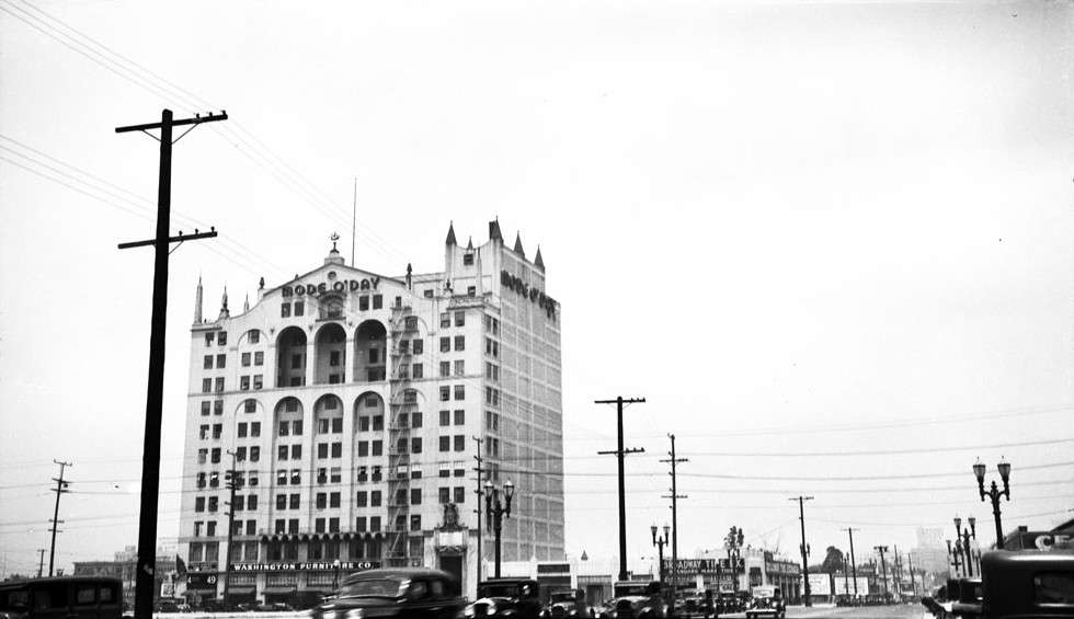
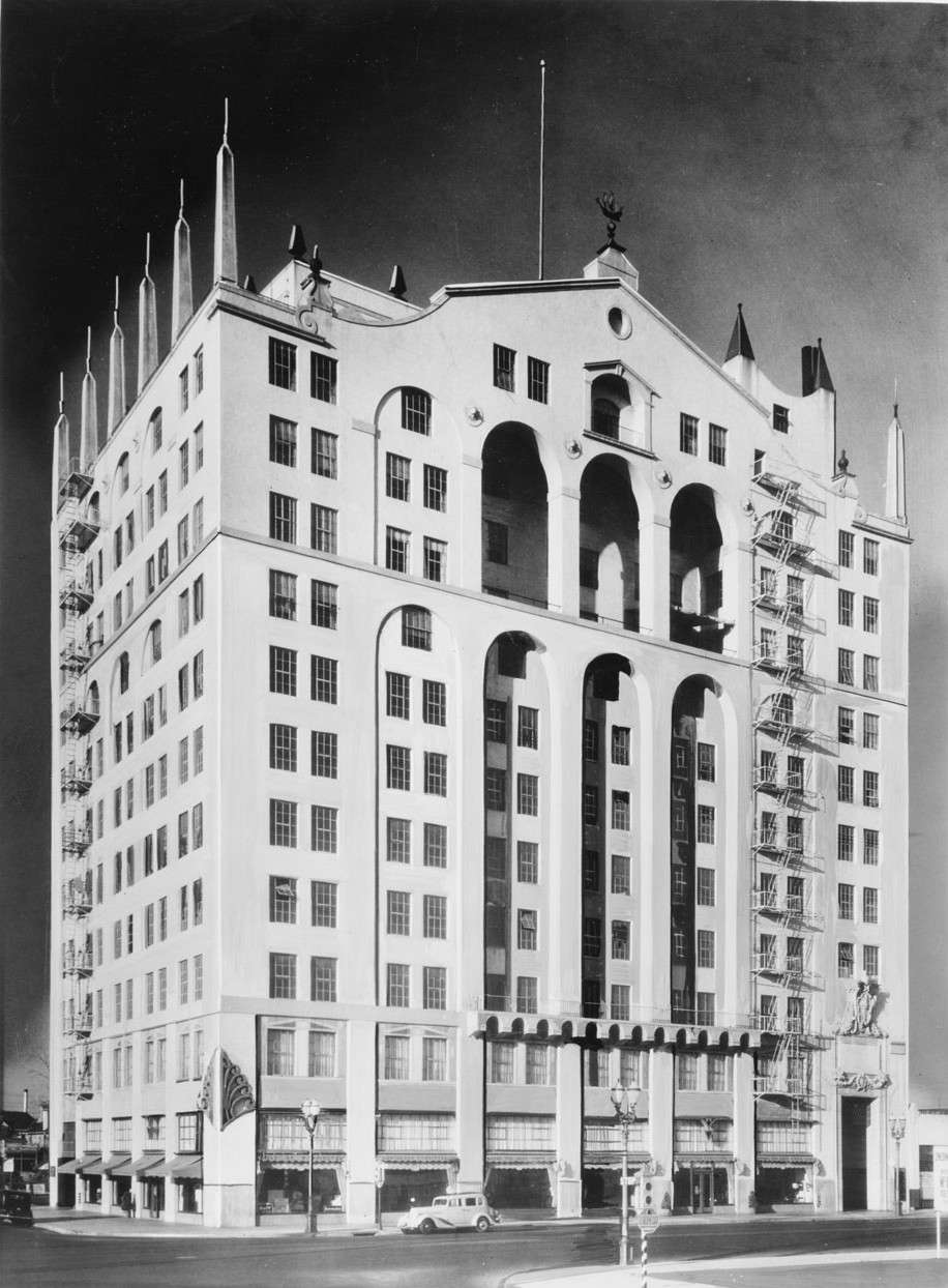
To go with yesterday's lock manufacturer, I found some Julius Shulman pictures of a door manufacturer. This is
"Job 1563: Bel Air Door Company Factory, 1953".
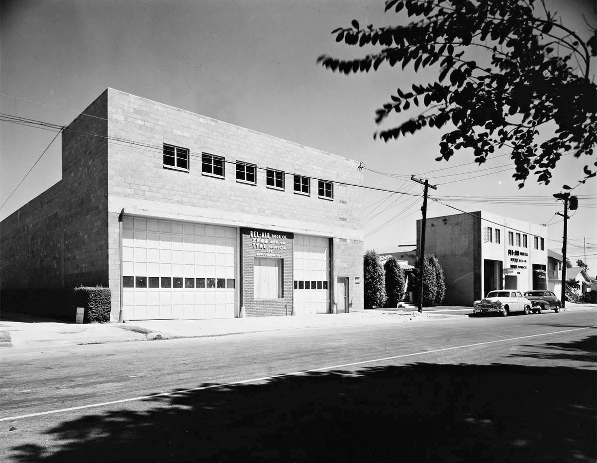
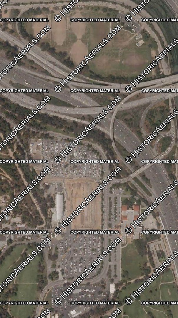
The company wasn't in Bel-Air, it was at 314 Date Avenue, Alhambra. Here's a closer view of the building on the right.
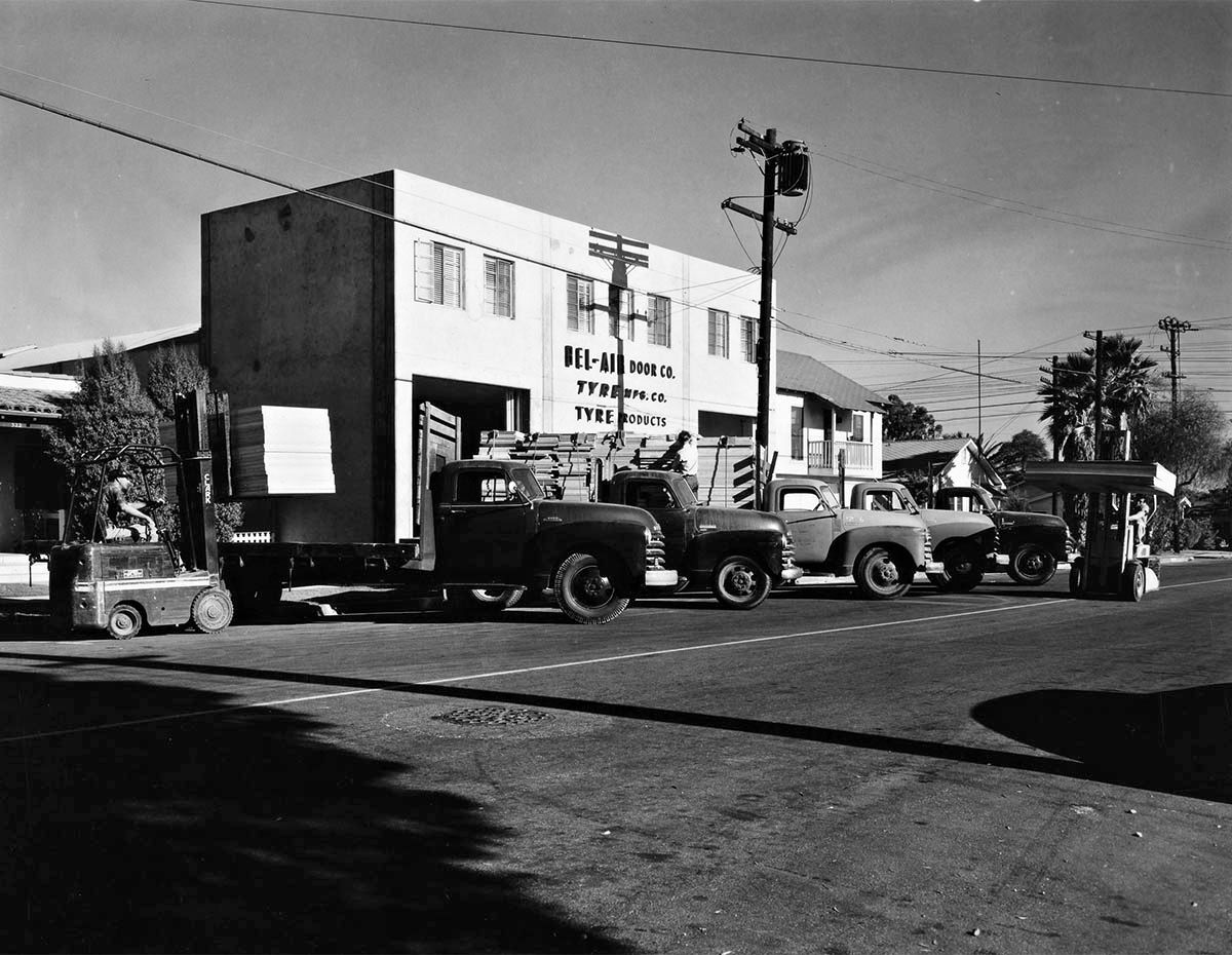
One of the pictures I've omitted shows a reverse of this shot which has a close-up of the sign by the forklift on the left. It gives an address of 317 Palm Avenue, which means this is the back of the buildings in the pictures above.
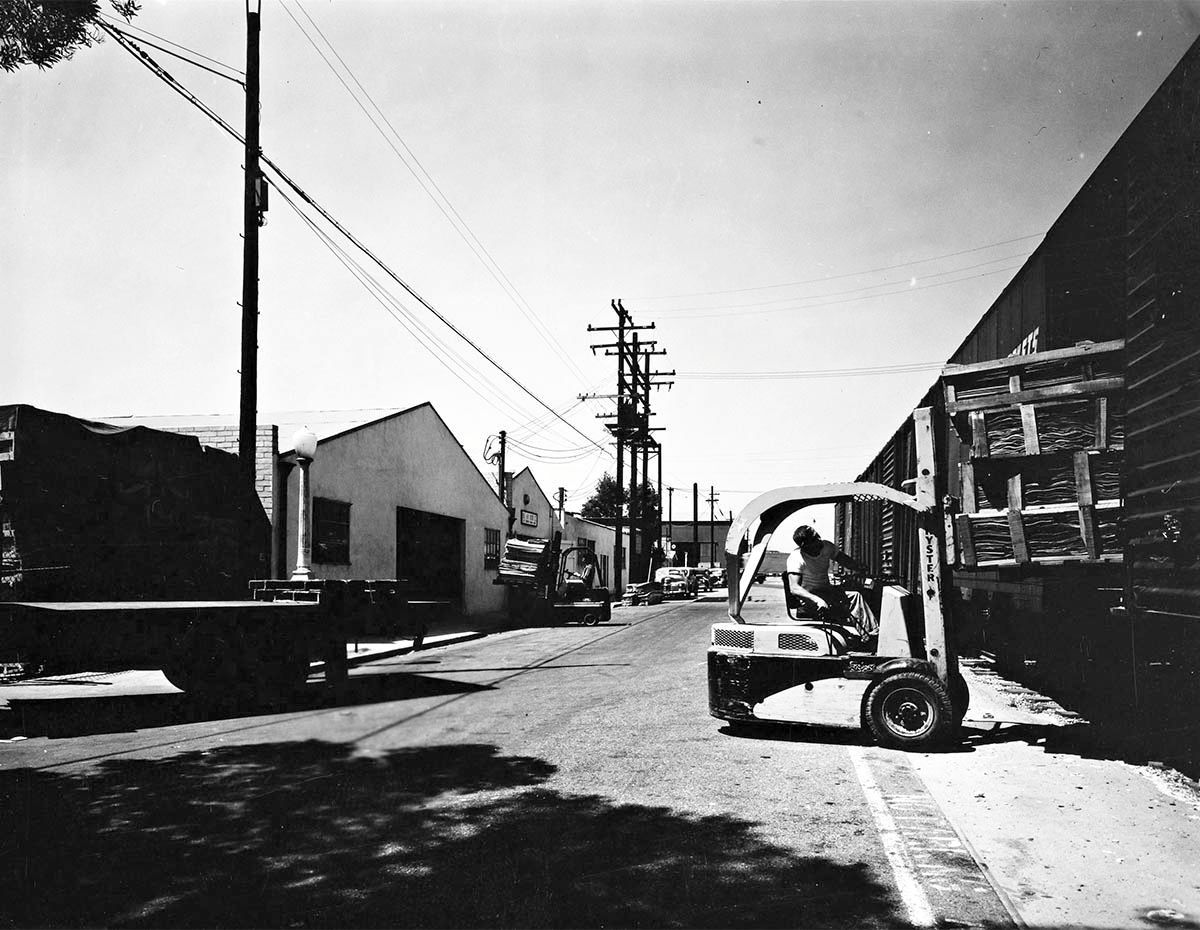
This is another large set (21 images), so I've just picked a selection again. The company had an interesting uniform.
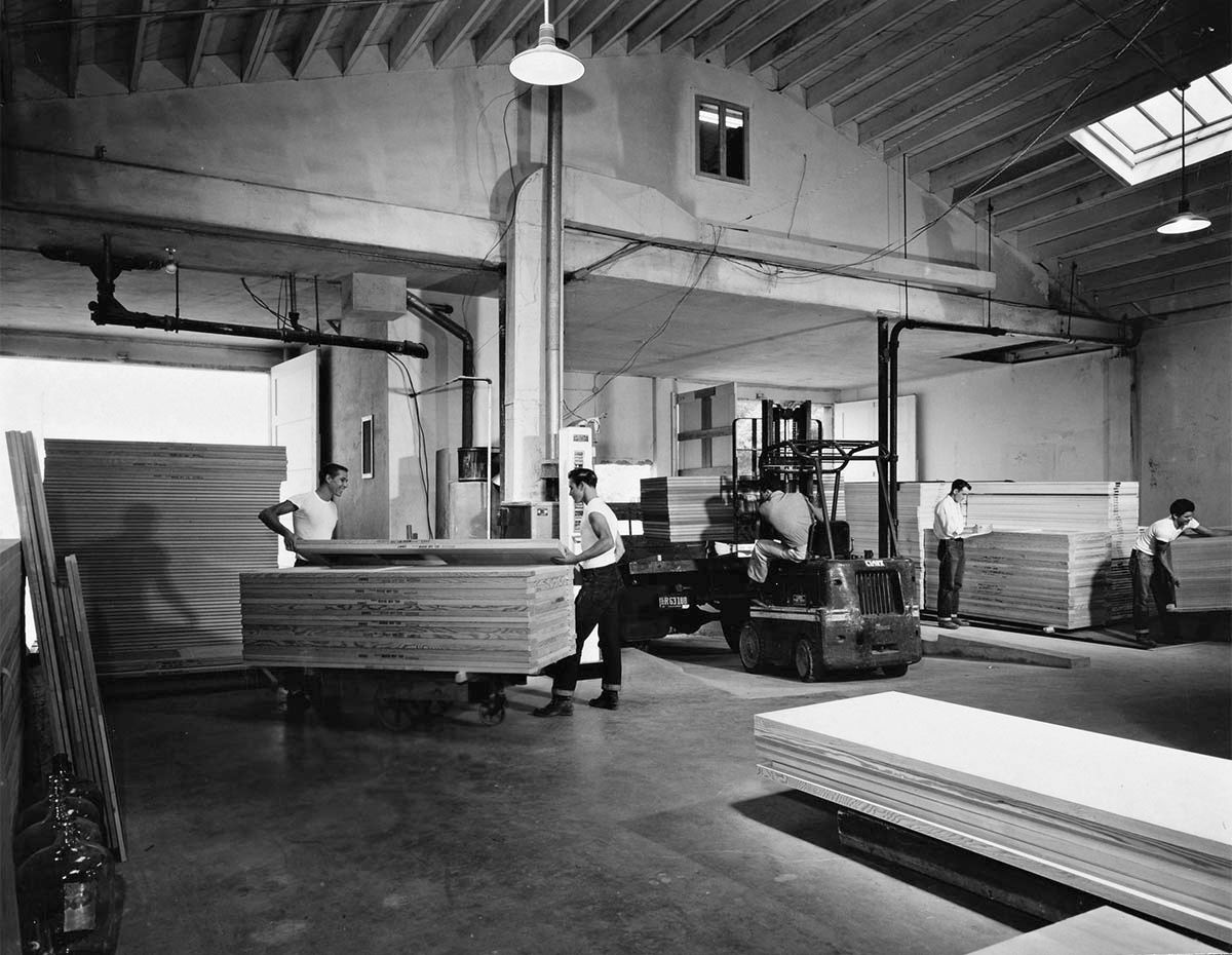
This guy obviously didn't get the white T-shirt memo

.
All from
Getty Research Institute
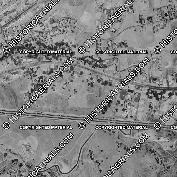
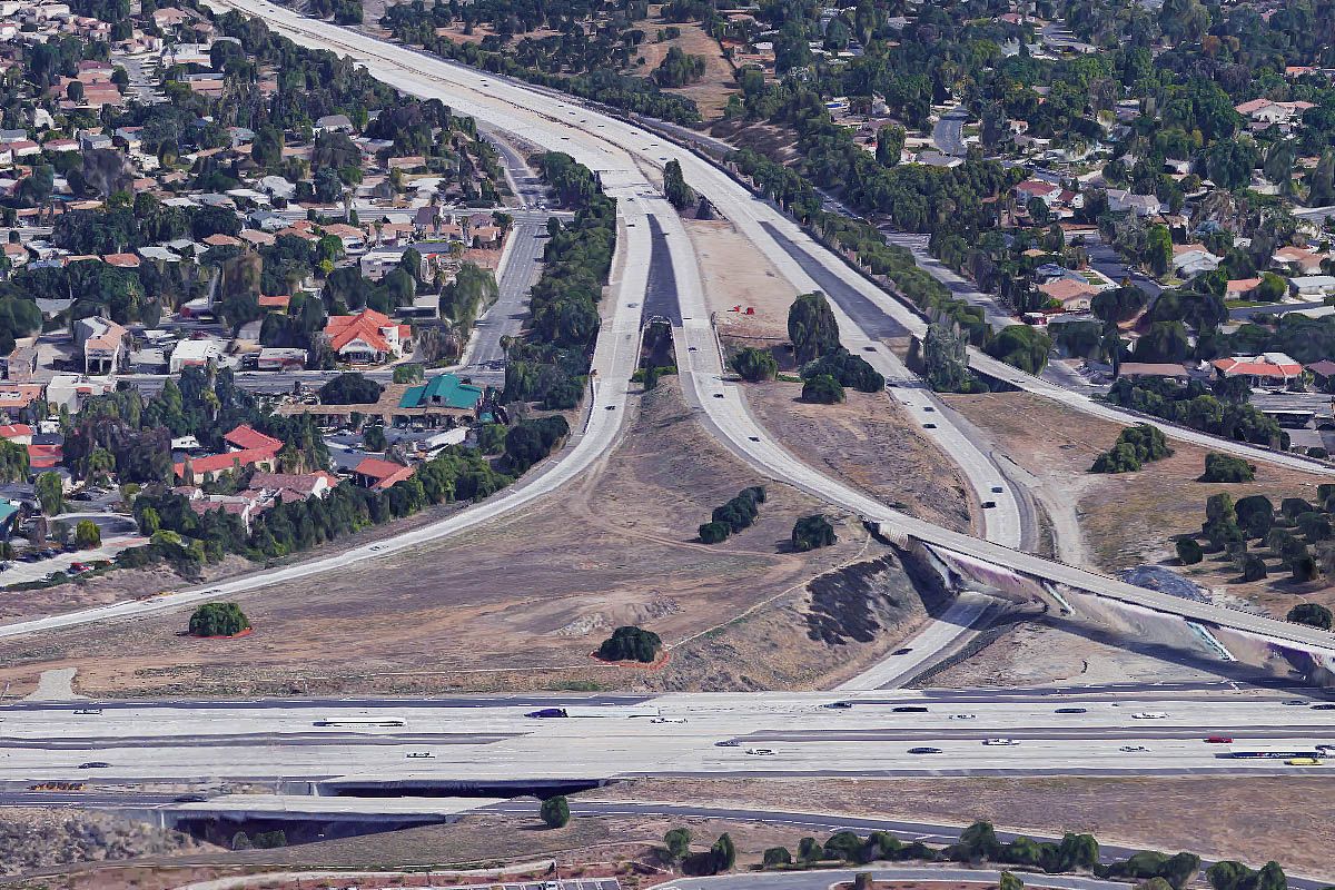
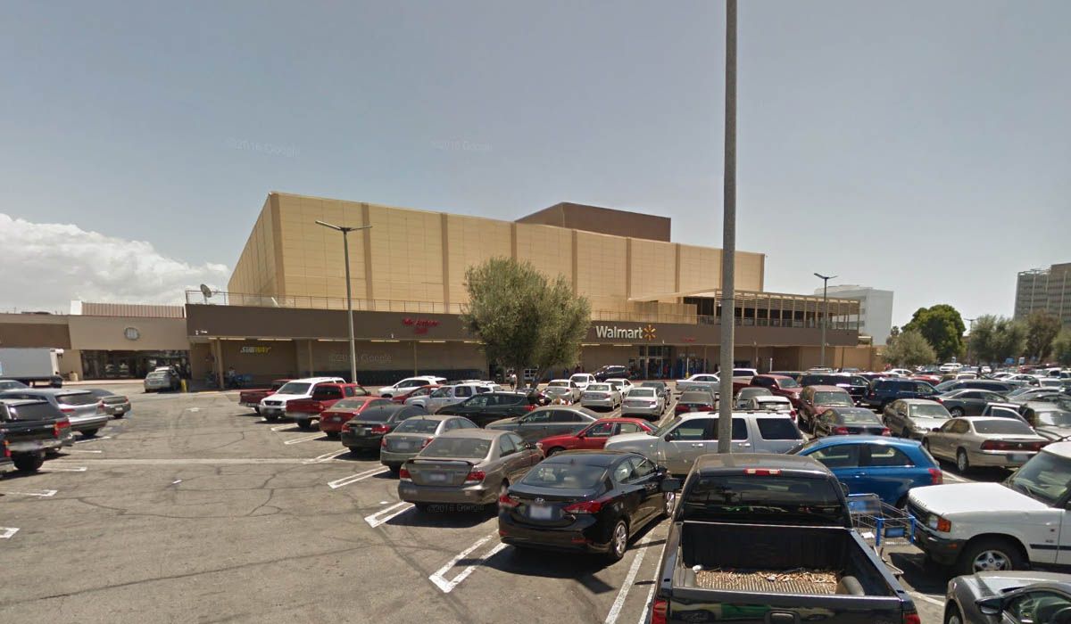
The buildings, large utility poles and railroad tracks have all gone from Palm Avenue, but the buildings on Date Avenue are still there.
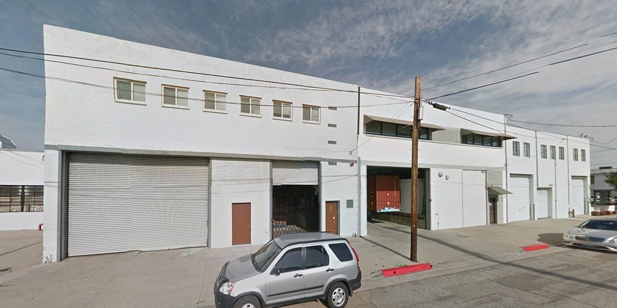
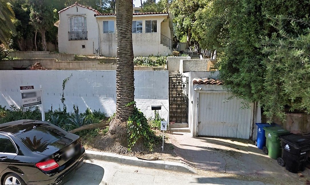
GSV


 Prev
Prev


.jpg)


 Thanks, HossC.


 (All from
 GoogleStreetView
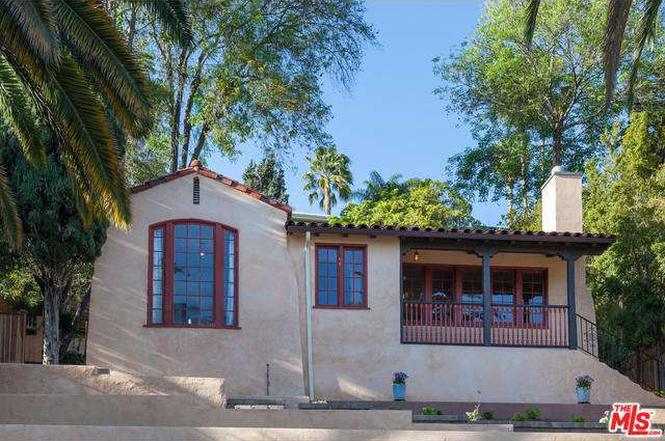


 Linear Mode
