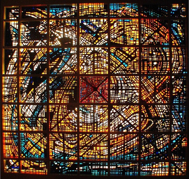
Thanks for all the follow-ups on the stained glass from Columbia Savings. I didn't know it had a hanging pyramid in the center, or that it had been saved.
-------------------
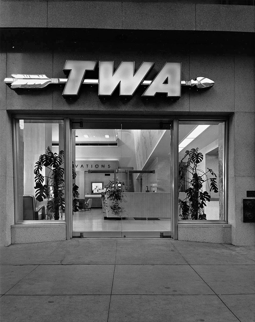
We're off traveling with today's Julius Shulman post - well, we can buy the tickets anyway! This is the downtown office of TWA in 1948. Comparing it to the American President Lines office from
post #33631, it really must've been a glamorous event taking a boat or airplane in this era. This is
"Job 138: Raymond Loewy, Trans World Airlines Office (Los Angeles, Calif.), 1948".
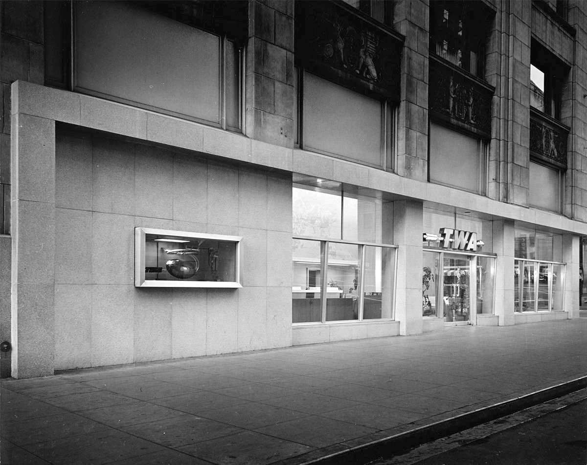
That model airplane looks slightly out of scale.
All the countries of the world, twice!

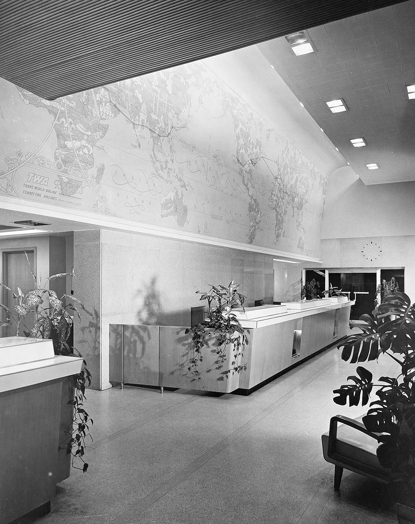
I think that the pictures at the back show the Acropolis, the Eiffel Tower, and a sphinx.

All from
Getty Research Institute
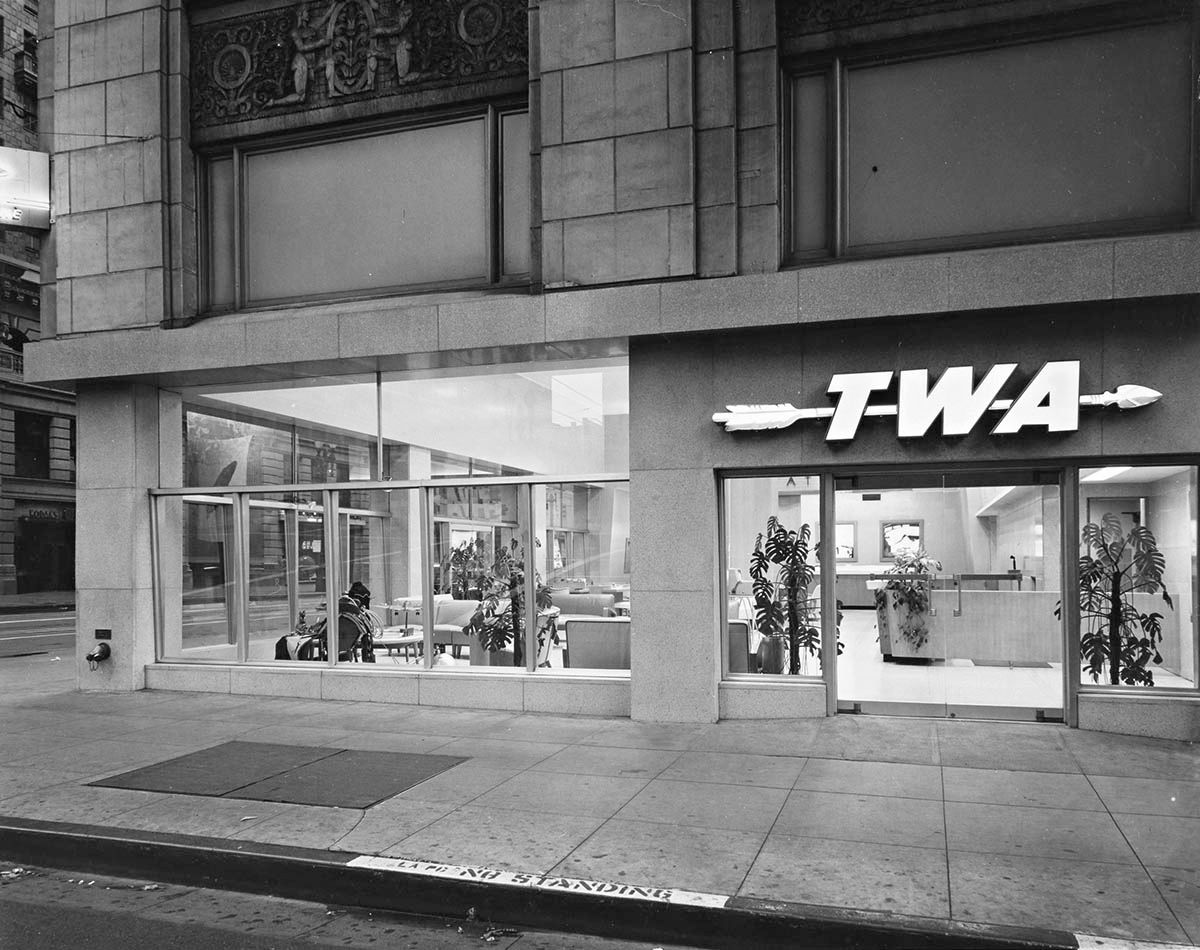
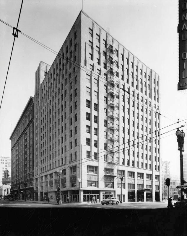
When I looked for an address in the City Directories, I couldn't match the carvings in the images above. Then I found this undated picture which confirmed the location as 6th and Grand.
 LAPL
LAPL
The reason I didn't recognize the building is that the lower floors have been remodeled. The rest of it still looks like the photo above.
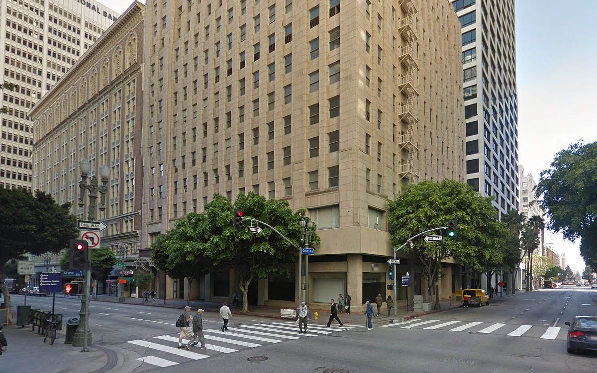
GSV


 Prev
Prev


 .
.


 Our Gang


 Linear Mode
