Sometimes you find a big feature article in an unexpected place...
Includes a 4-minute video with a bunch of nice city shots.
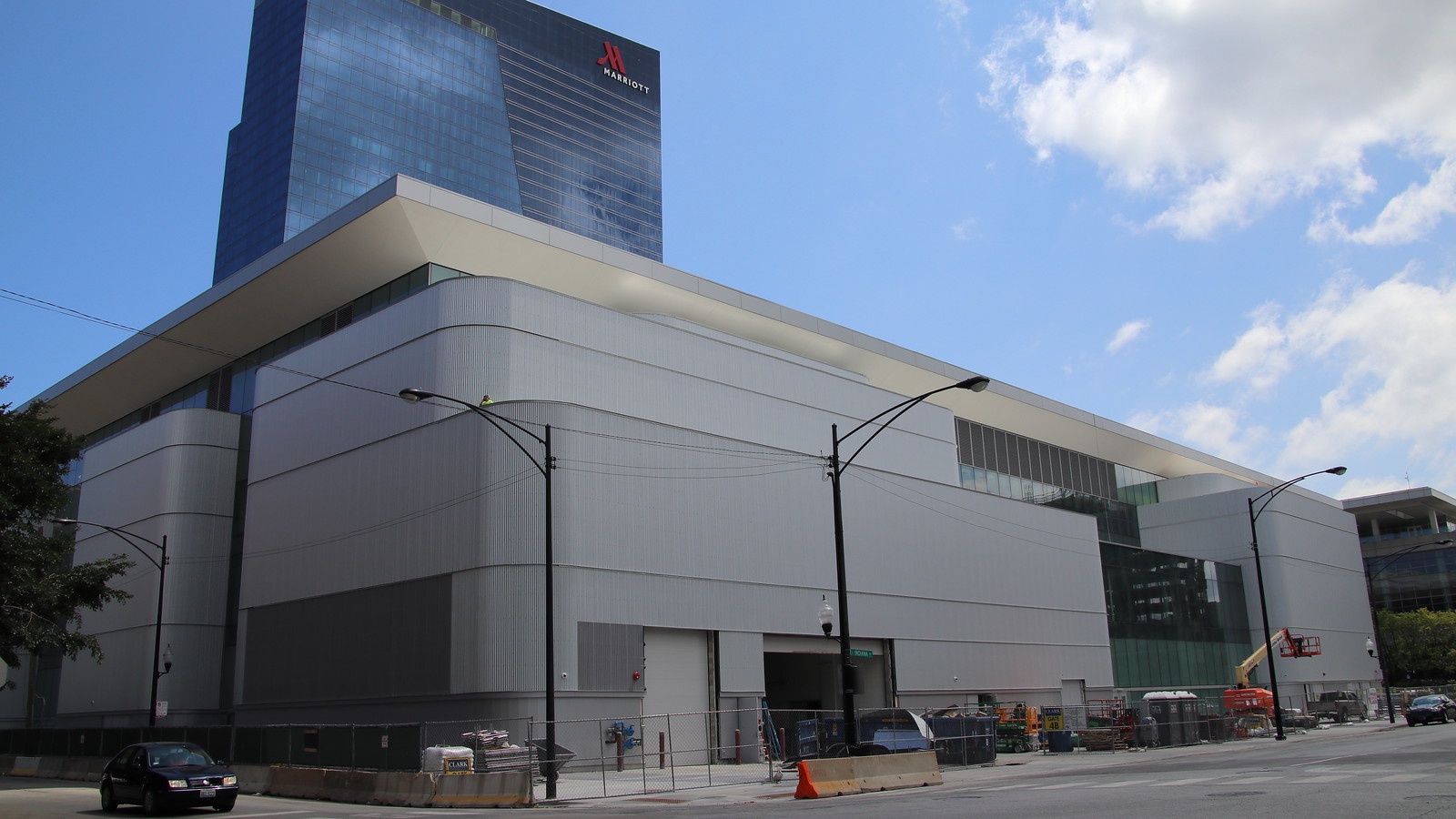
Chicago maps its underground maze
The Windy City’s smart city efforts include scanning its vast network of pipes. Mayor Rahm Emanuel sees an opportunity to focus on the future.
August 11, 2017
...
In Chicago, incorporated in 1837, the underground network of pipes is so complex, and the records are so outdated and incomplete, the city has created an Office of Underground Coordination. Its job is to pore over dozens of old maps to try to identify what's underneath a construction site before a crew digs.
...
Now the solution may rest with the phone in his pocket, and a computer program the city helped develop that creates a digital blueprint of Chicago's underground pipeline network of sewer, water, electricity, gas, broadband and other services from about 30 companies and utilities.
...
In Chicago, many of these efforts are being created through $320 million public-private partnership called UI Labs ("University + Industry"). Based on Goose Island on the north end of the Chicago River, UI Labs aims to "address problems too big for any one organization to solve on its own," according to its website. That includes the 3D map of Chicago's underground infrastructure, launched last October.
Chicago has other projects underway as well. One standout: finding ways to combat rats. ... The city also has a website where people can see the real-time locations of snowplows after a blizzard ... And starting next month, Chicago will begin replacing its 270,000 street lamps with LEDs, saving electricity costs and, eventually, connecting to a system that will dim the bulbs as the sun comes out.
...


 Prev
Prev


 Linear Mode
