Quote:
Originally Posted by jackofalltrades

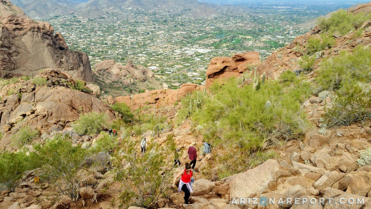
Great information. I agree on the suggestions above. I love the rocky hikes but I think the Indian Bend looks most similar.
One thing to mention is that while the Katy Trail is only 4 miles long I think, it connects to the White Rock trail which goes an extra 20 or so.
My friend in Dallas, has a road bike and says he never has to get on a road hardly and can ride 20+ miles pretty easily on paved paths. I know that the Katy Trail is part of that ride.
He said one of the things he loves the most about Dallas is the numerous 10 mile+ paths that he can ride because he doesn't want to ride on the roads... Something that no cyclist should do in my opinion!
|
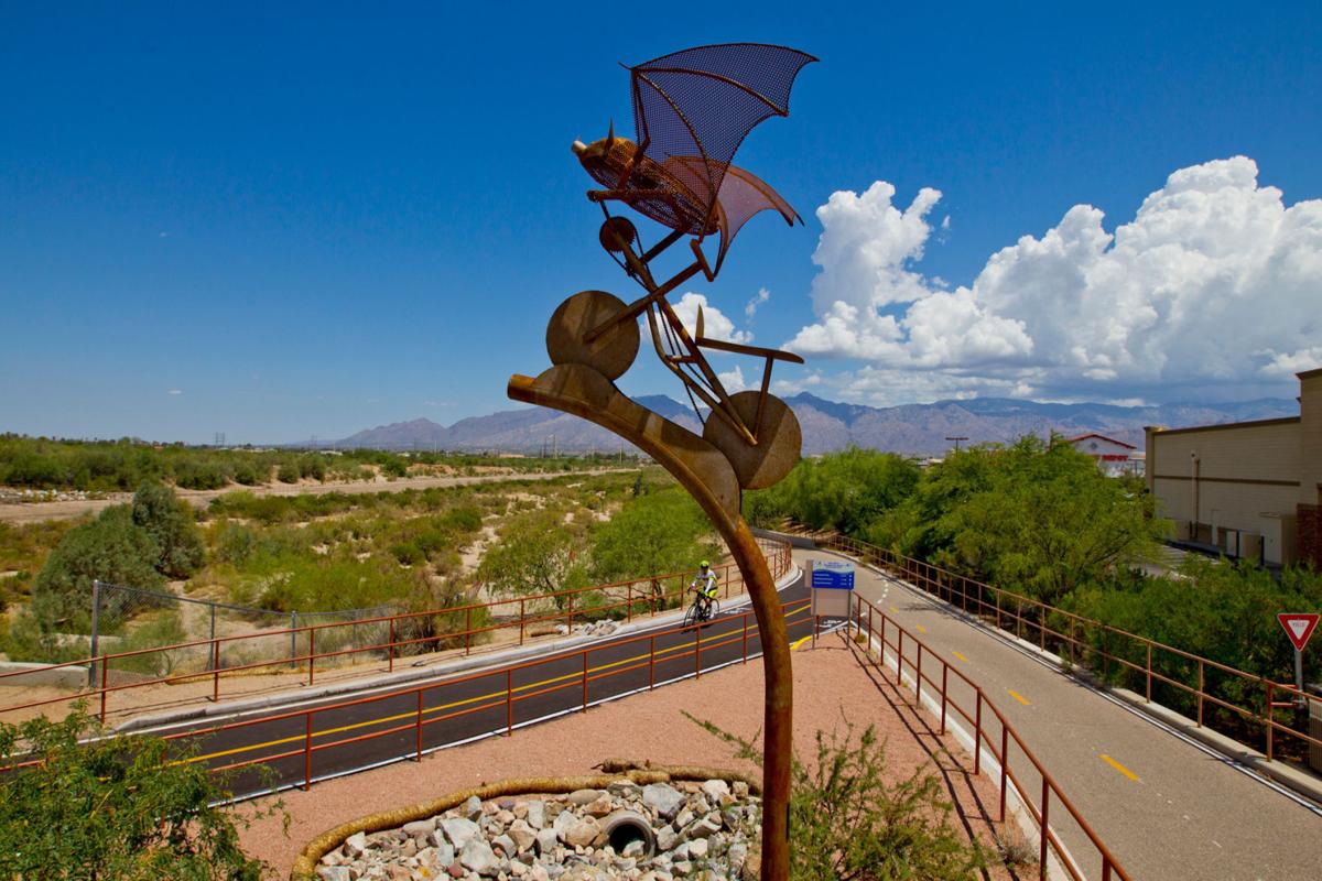
I've done nearly 50 mile rides on multi-use paths with only a few street crossings here and there. You can easily connect the Crosscut Canal Path out of Papago Park to Arizona Canal to Indian Bend Wash, down to Tempe Town lake. There's a couple of other connecting paths here and there that will take you to Northern Scottsdale along Shea and further.
Also, there is the Western Canal Path which is roughly 10 miles 1 way and it connects to Kiwanis Park. You can also get to a couple other paths off of this which will take you though Downtown Gilbert, a nice Riparian Preserve in Gilbert and a couple of other canal paths in the East Valley.
There's also the Rio Salado Path which runs along the Salt River roughly from Sky Harbor to 19th Ave. They are close to expanding this to connect with the Tempe Town Lake path which I cannot wait for.
There's lots of other paths I can name. But the best way is to grab the MAG map at
https://geo.azmag.gov/maps/bikemap/. It's a little slow on mobile phones.
Happy trailing!


 Linear Mode
