Quote:
Originally Posted by vid

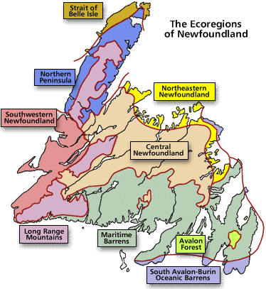
I disagree with you that the map showing that Thunder Bay is located in a forest zone which includes species like hemlock and oak is the correct one when I know, on account of actually living here, that none of those species are common here. The region is dominated by poplar/aspen, birch, tamarack/larch, red maple, pine, and spruce. This map, a different version of the one you insist is correct, says we should have a different collection of tree species than we presently do.
But I'm not a scientist. Maybe I've misidentified the trees all these years?

Forest zones just means they're possible here, not that they're actually present!  |
I explained this, and your post above almost seems to contradict your argument.
It is a larger climatic zone.
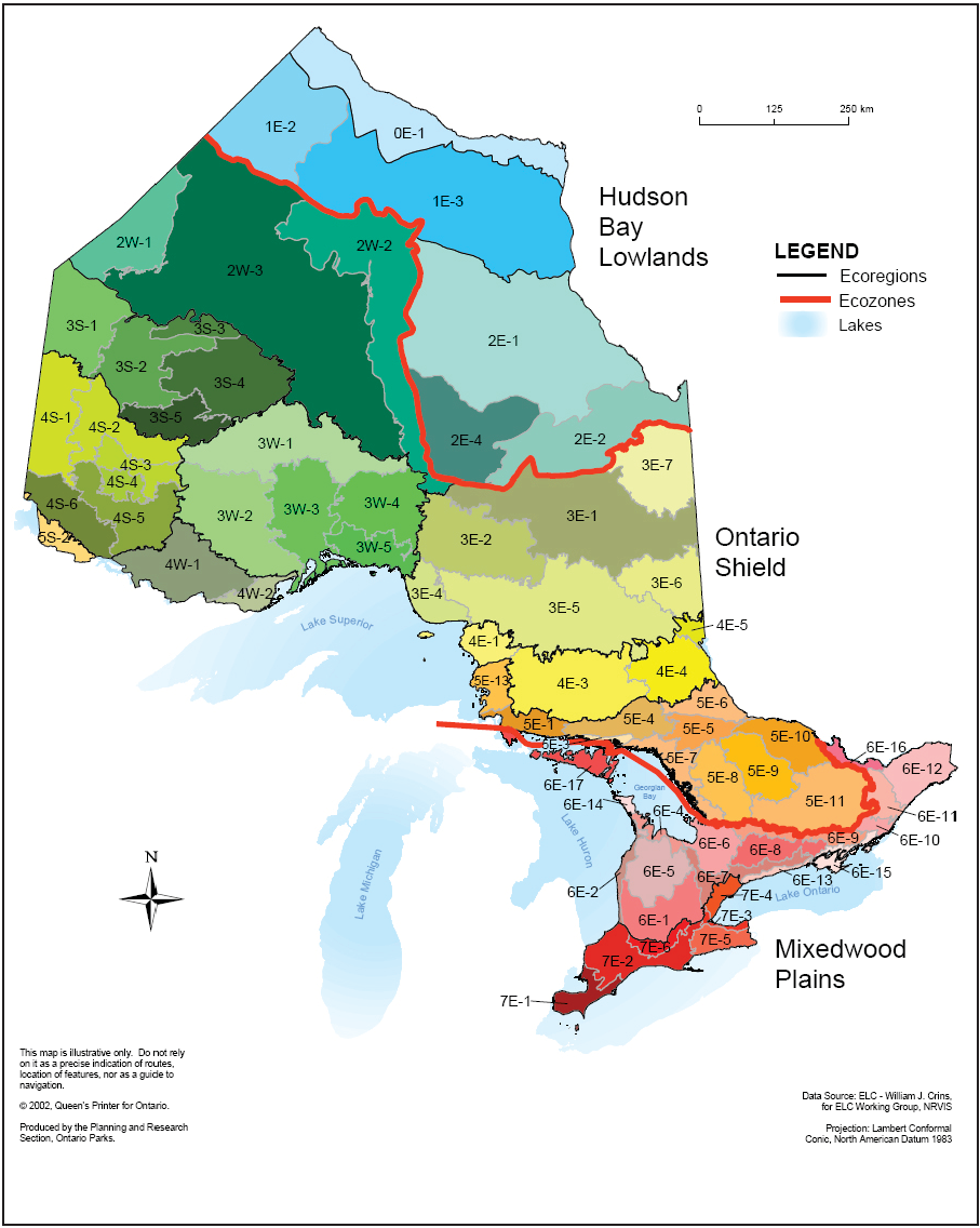
First Thunder Bay is shown pretty close to the more northern Boreal Forest zone, signifying that it is on the extreme edge of the Great Lakes Zone. Therefore it is very common for not all species associated with that zone to be within your area.
Again I will use the Montane zone as an example.
Both Osoyoos and Prince George are shown to be in the same zone. There are countless tree species found in Osoyoos that are not present in Prince George, and the reverse is also true.
Ponderosa Pine is often listed as a common tree in the Montane zone (which extends from as north as the Yukon in some maps and as south as Mexico in others)
In fact Ponderosa Pine only grows as far north as about 100 km or so north of Kamloops (such as near Clinton and south of Clearwater). Yet Prince George (which actually shares many species found in the Boreal zone) is still listed as Montane.
Therefore it is no surprise that a place like Thunder Bay at the northern end of its forest zone would lack several species listed for that zone and also have many species listed for the zone just north of it.
These forest zones are not only organized by tree species, but also shrub species, other plantlife, wildlife, forest form, soils, and climatic conditions.


 Prev
Prev


 Linear Mode
