Ever since I was about 7 or so, I have been almost obsessed with maps, and urban planning. For me, this inexplicably caused me to start drawing maps, and create my own cities on paper. Now that I'm 16, I literally have hundreds, if not thousands of pieces of paper with maps of different kinds, all in different stages of completion lying around. However, most are junk!

These are just some of the better, and more recent ones that I'm posting today. I will definately try to post more in the future!

All of these are just on standard printer paper, and they may not make all that much sense, and look like your average city map. I've just been making these for fun over the last while, and never expected that anyone else would see them!
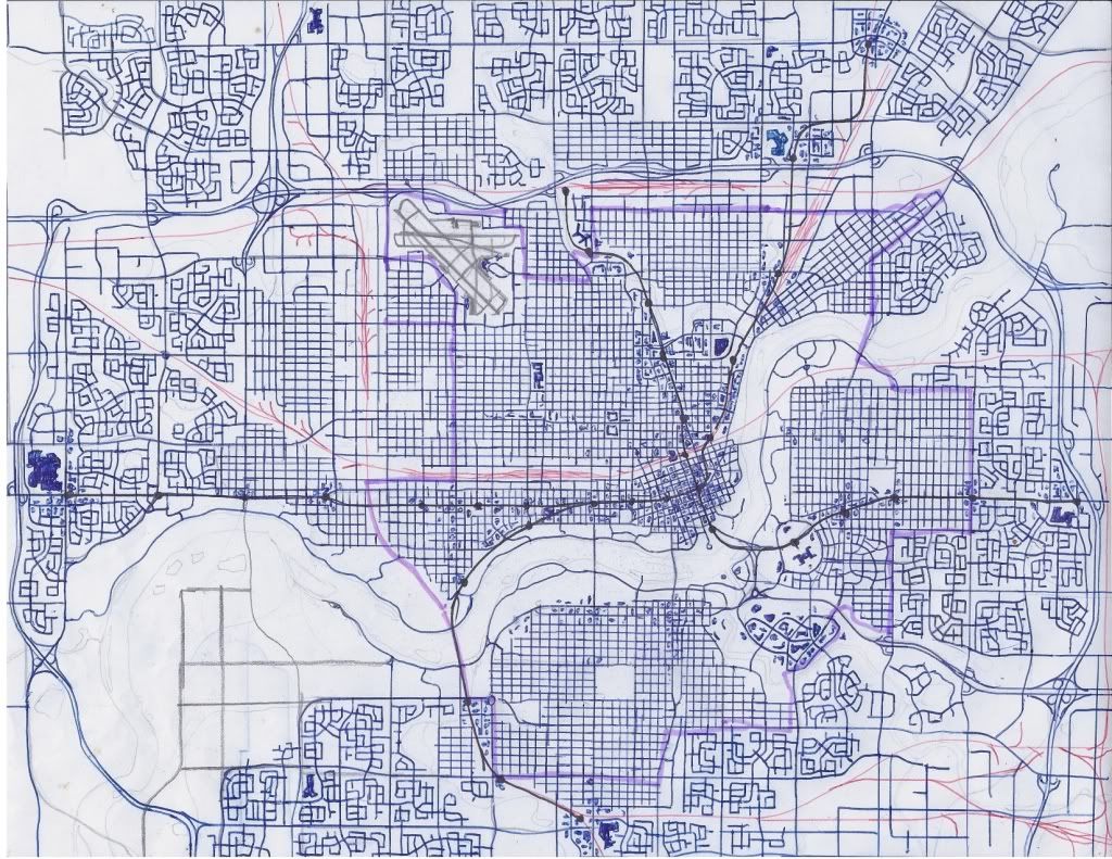
The inspiration for this map was Edmonton. The purple line is the pre WW2 area, and the black line with dots is a light rail system. Buildings are the little pen dots and squares.
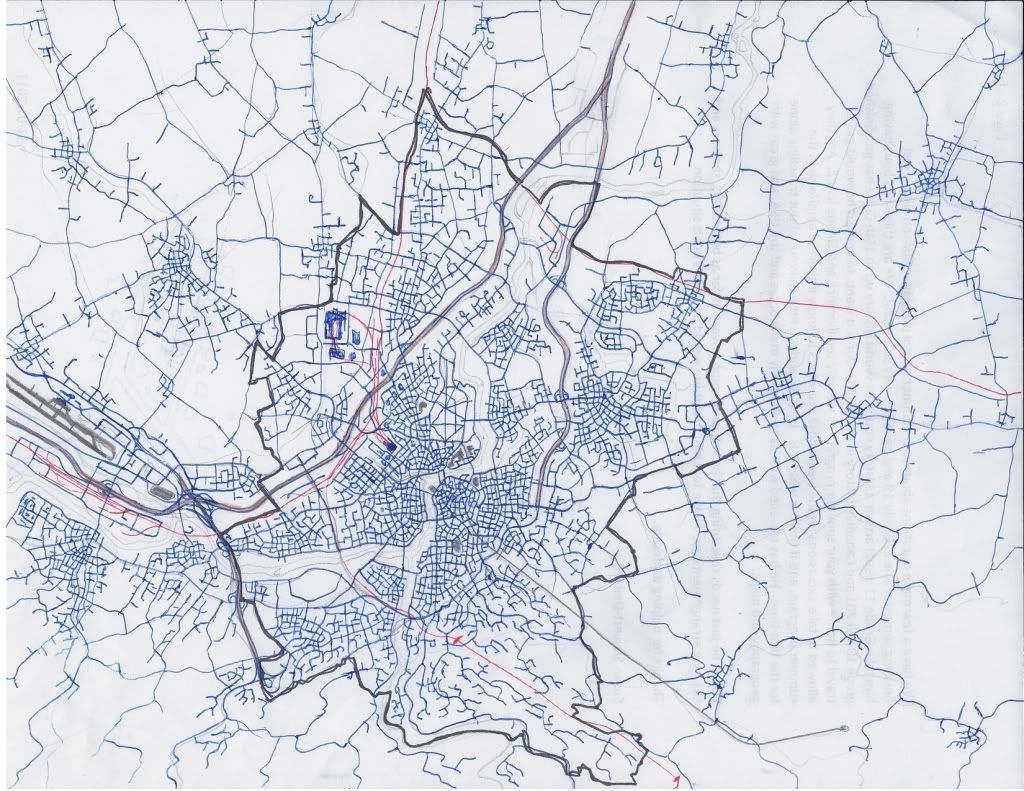
This map is supposed to be a city in Italy. The black line represents the city limits
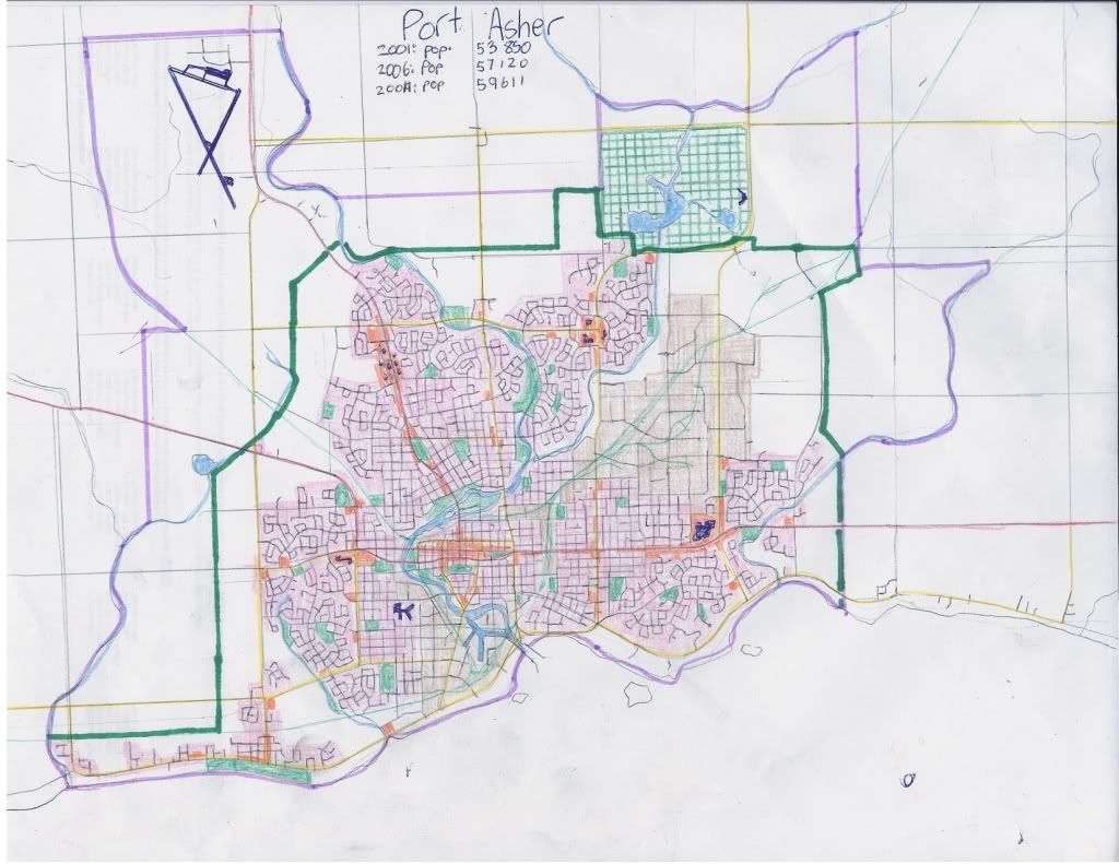
This map is supposed to be a Canadian port city on Lake Erie. The dark green line represents the urban growth boundry, and the purple line is the city limits.
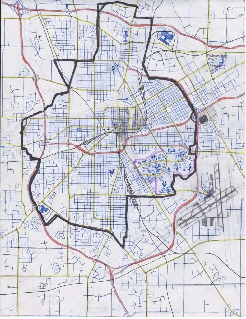
This map was inspired by cities in Michigan. The black line represents the city limits.
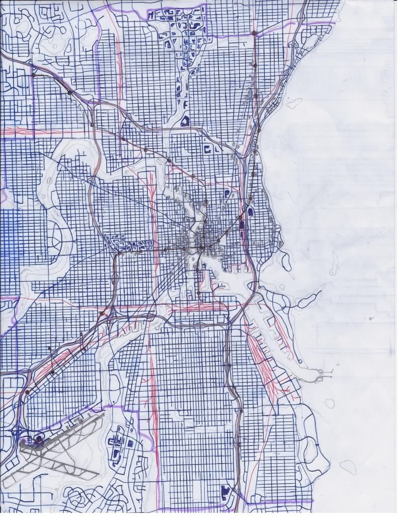
This map was inspired by Milwaukee. It also has a light rail system in black. The purple line represents the city limits.
http://s1141.photobucket.com/albums/n596/Simpseatles/


 Threaded Mode