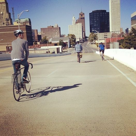
Been awhile since I last posted, and I thought I'd dump some random photos I've taken. Most of these occurred while I gallivanted around the city on my bicycle on weekend mornings, 2013-2014. Hope you enjoy-
Here's a map of places featured-

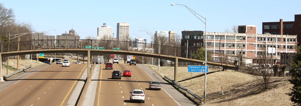
To start, a couple views from the top of Clark Tower in East Memphis, about 10 miles east of Downtown, looking west:
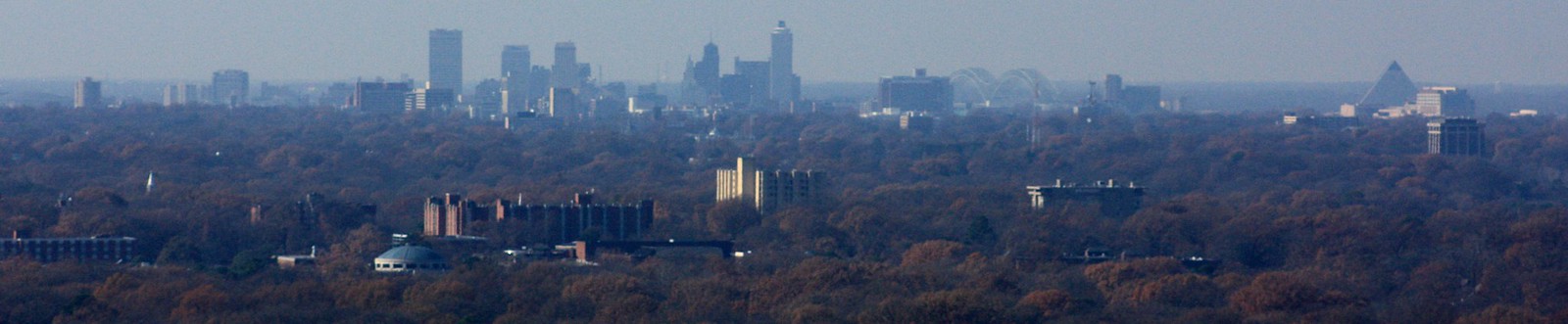
The foreground is the University District with Downtown and the Medical District behind.
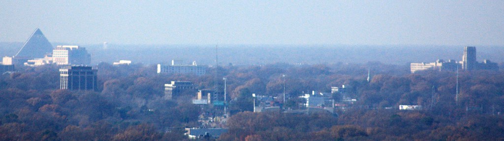
Pyramid and St. Jude on the left, some Midtown midrises, and the Crosstown building on the right.
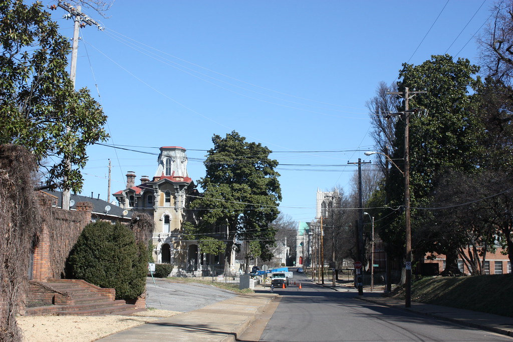
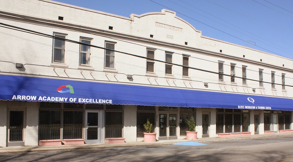
Victorian Village area:
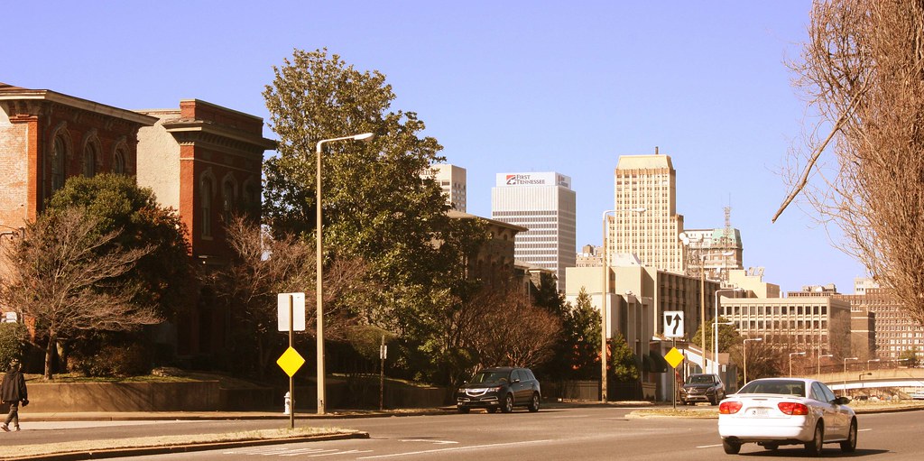
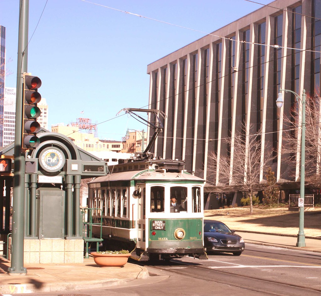
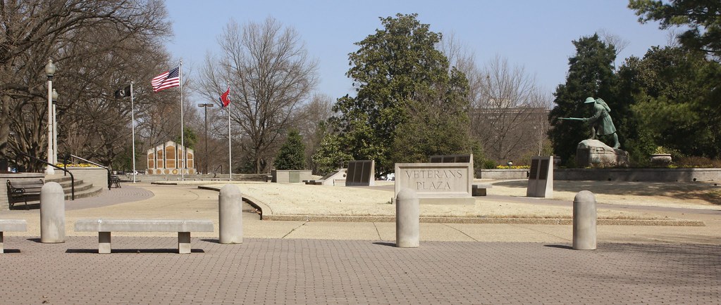
Into the Downtown Core:
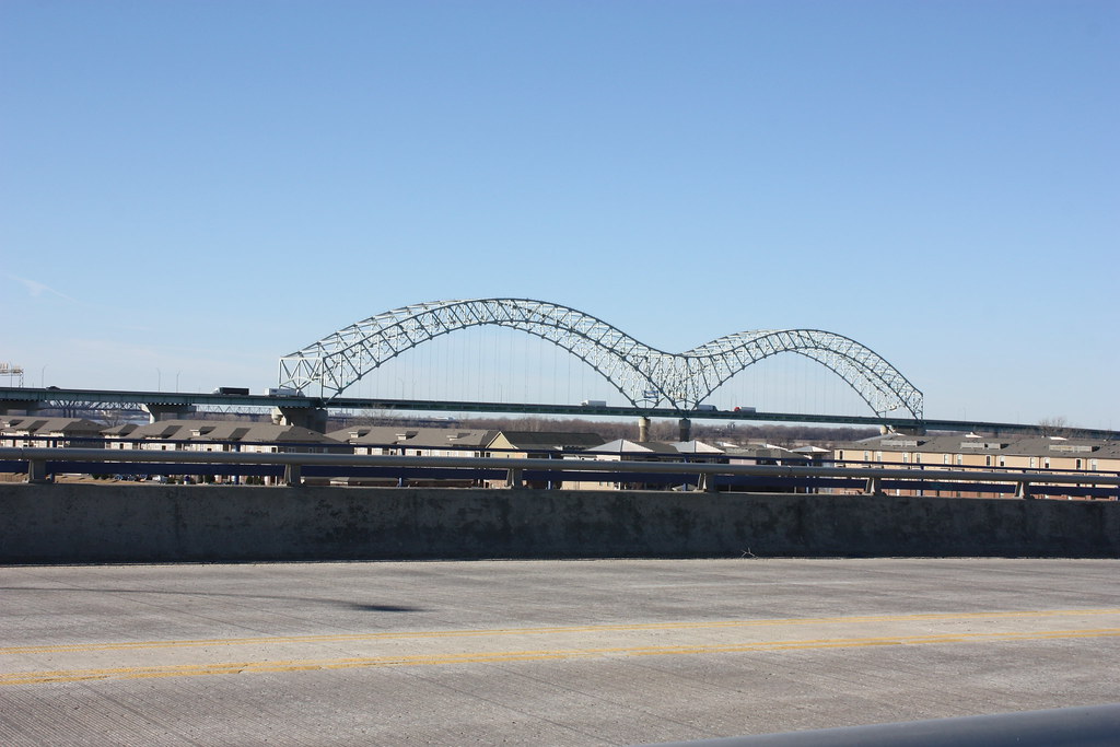
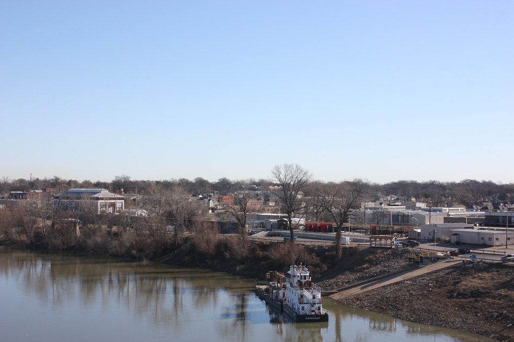
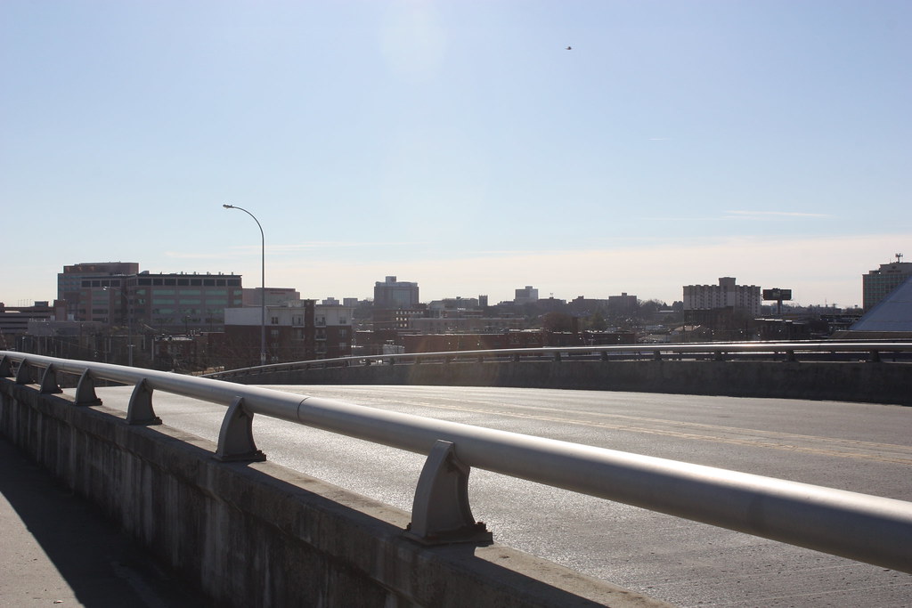
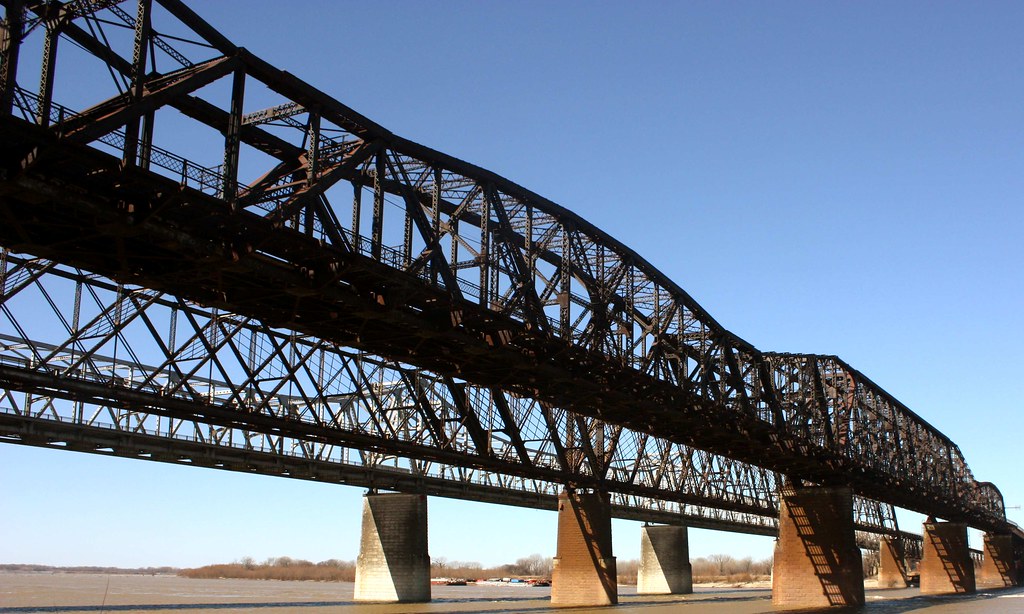
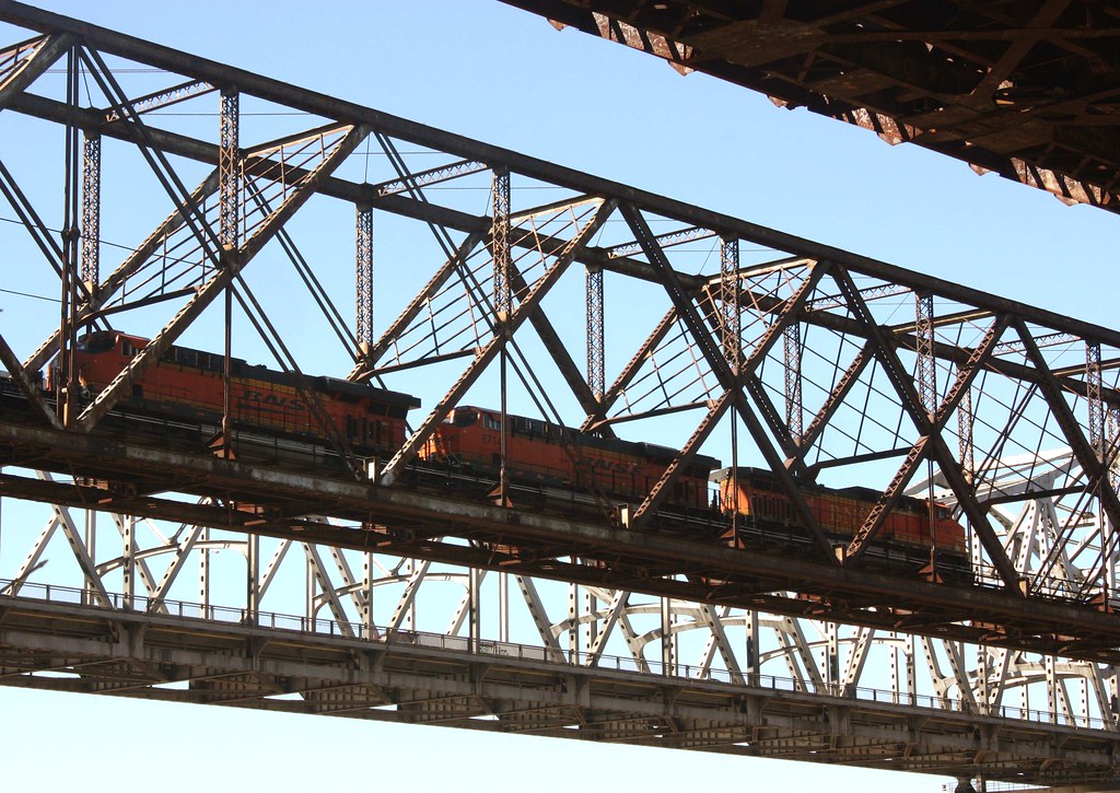
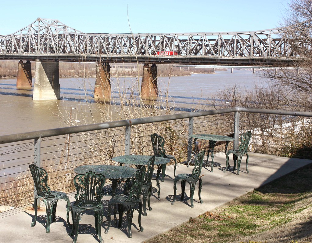
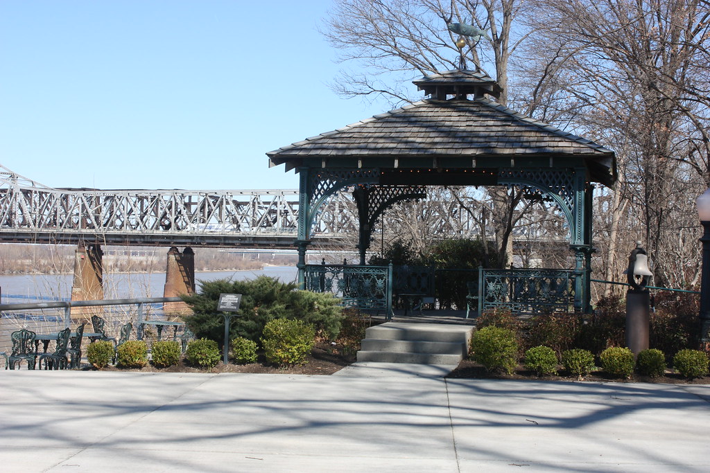
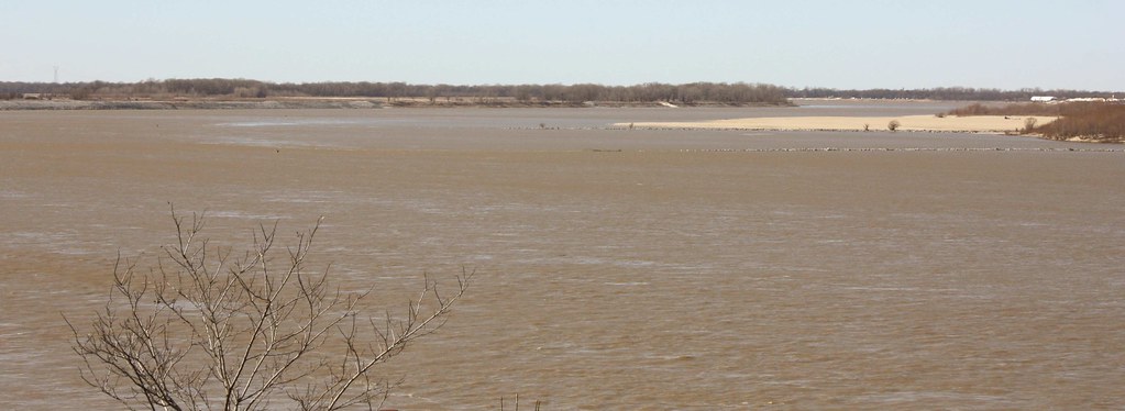
Views from the Willis Bridge between Downtown and Mud Island/Harbortown:
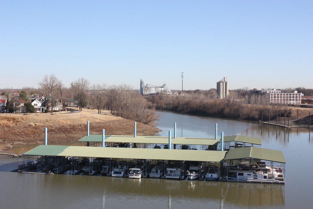
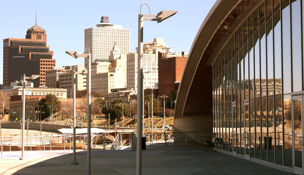
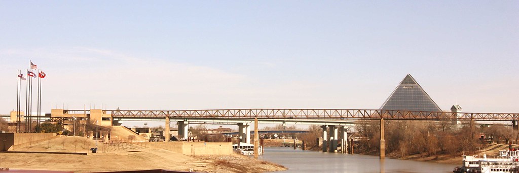
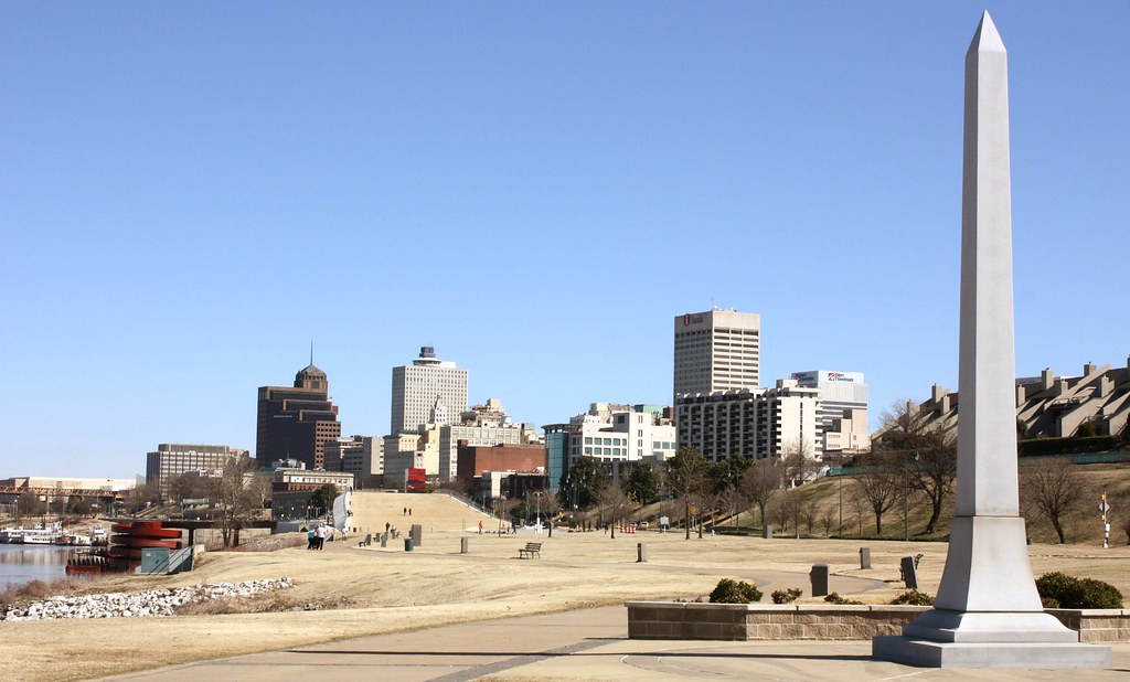
Downtown - The Riverfront


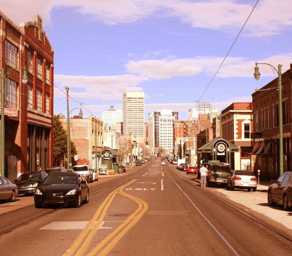
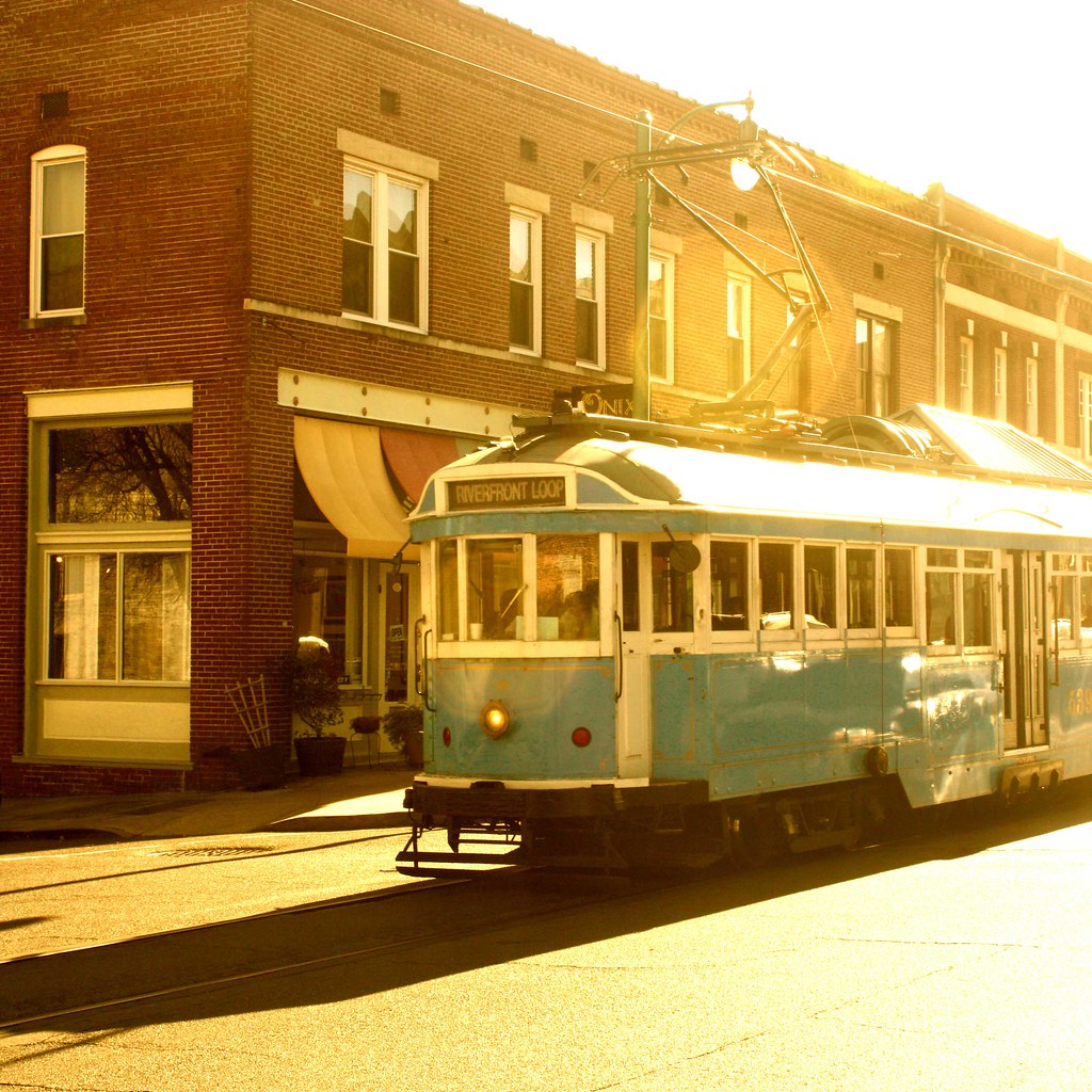
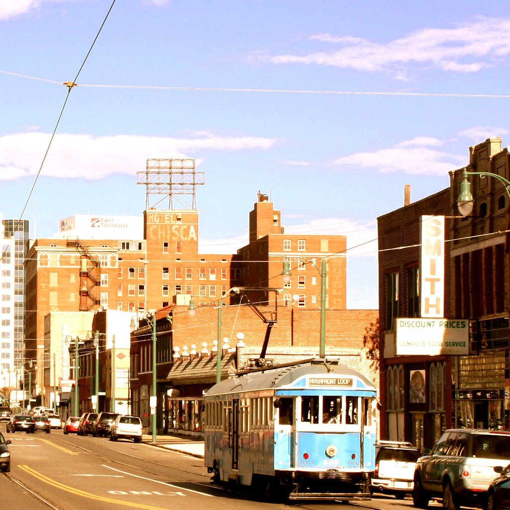
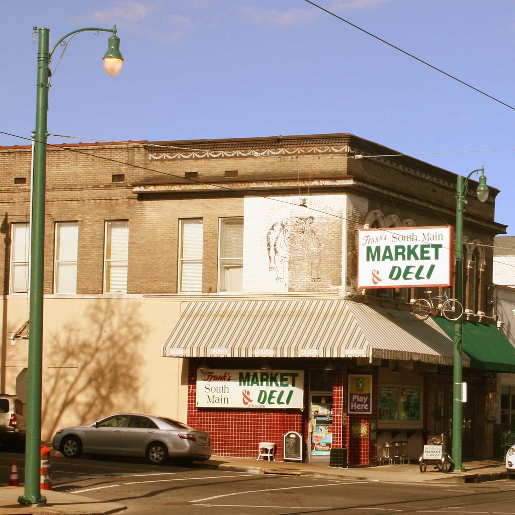
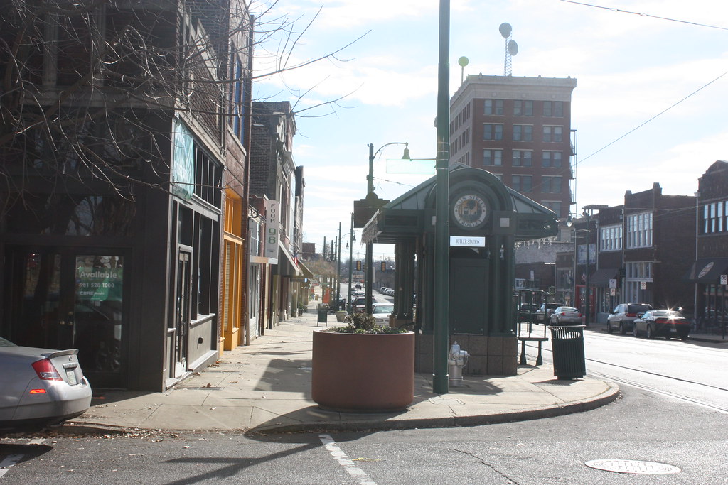
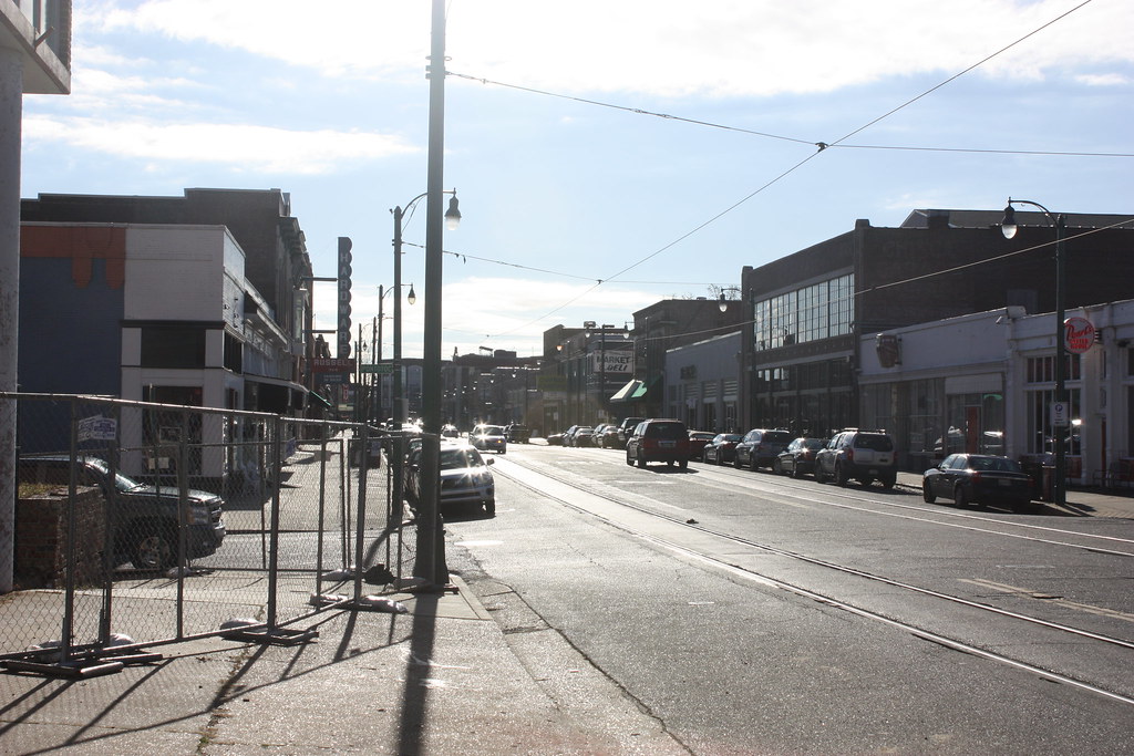
South Main:
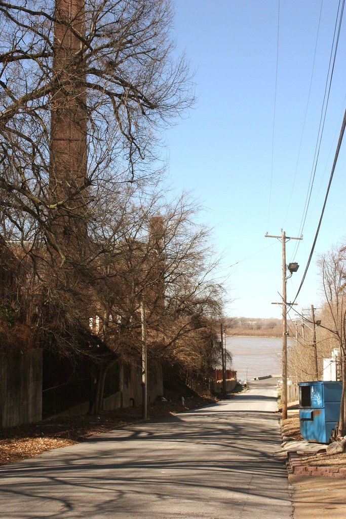
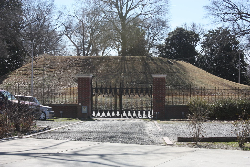
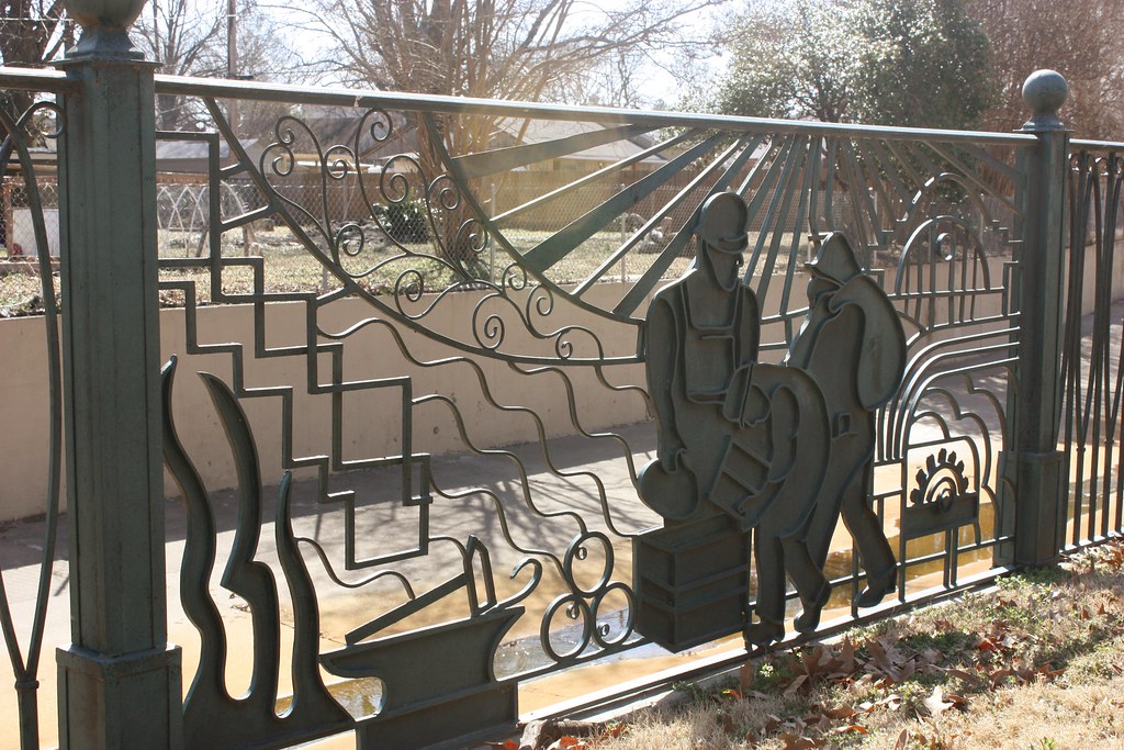
"French Fort" neighborhood (Old Fort Pickering, Chickasaw Heritage Park, and the National Ornamental Metal Museum):

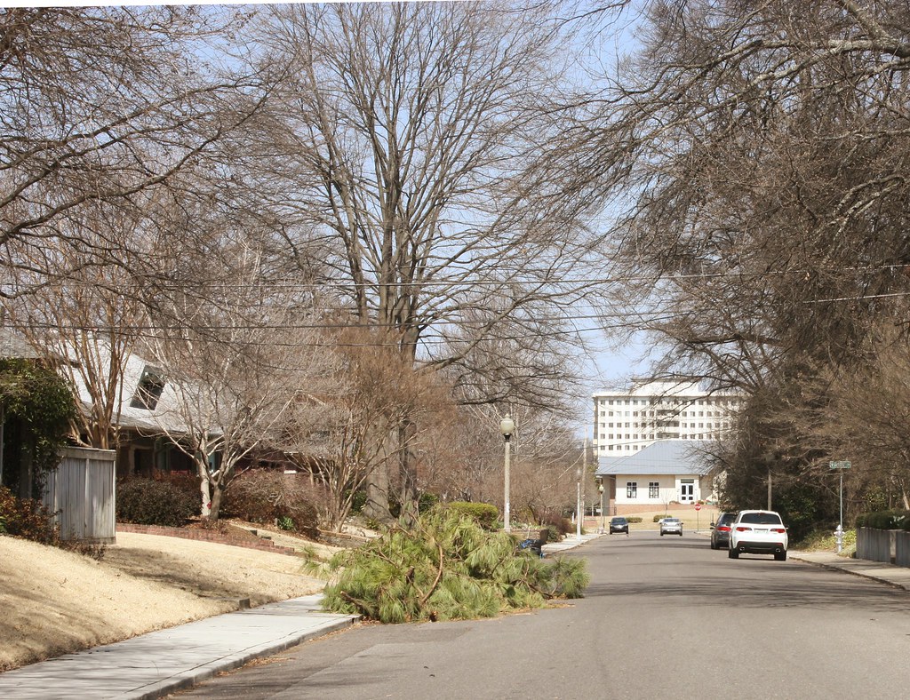
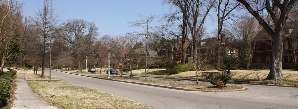
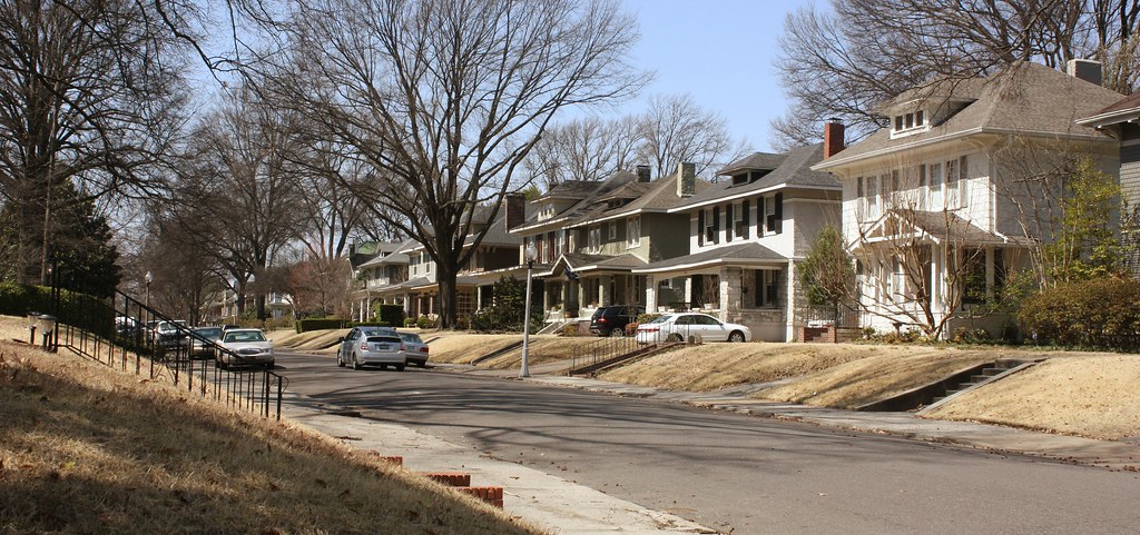
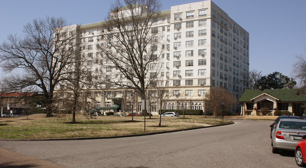
Midtown - Central Gardens:
Midtown - Crosstown Building, center of the Crosstown District, soon to be renovated into a "vertical urban village":
Midtown - Evergreen Neighborhood, near the Crosstown Building:
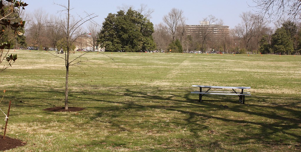
Midtown - Overton Park:
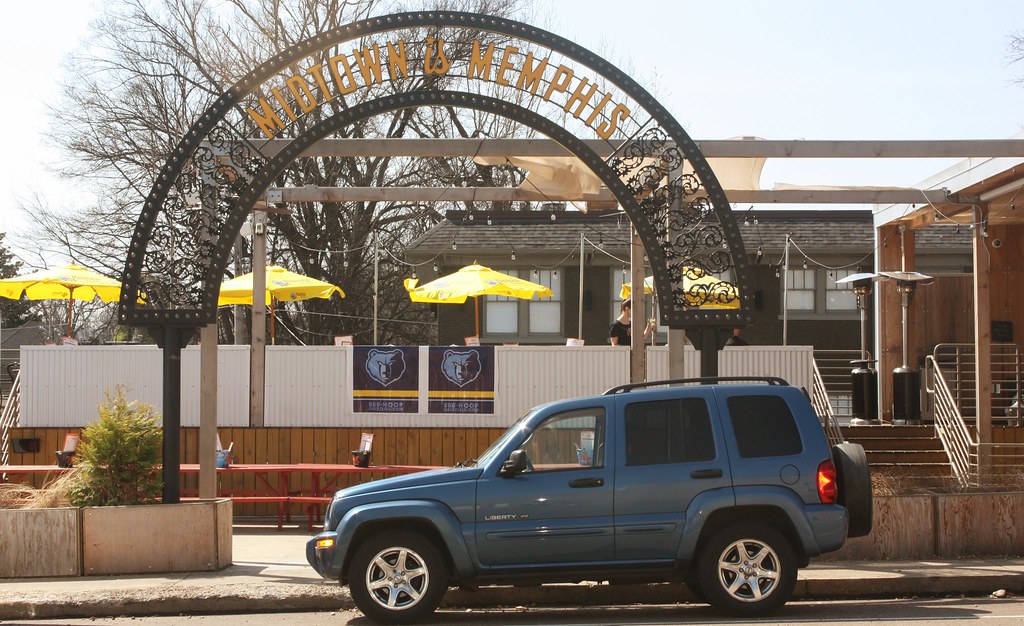
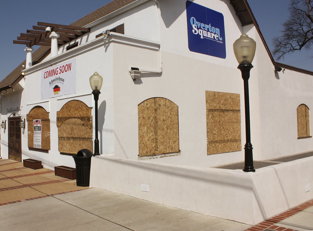
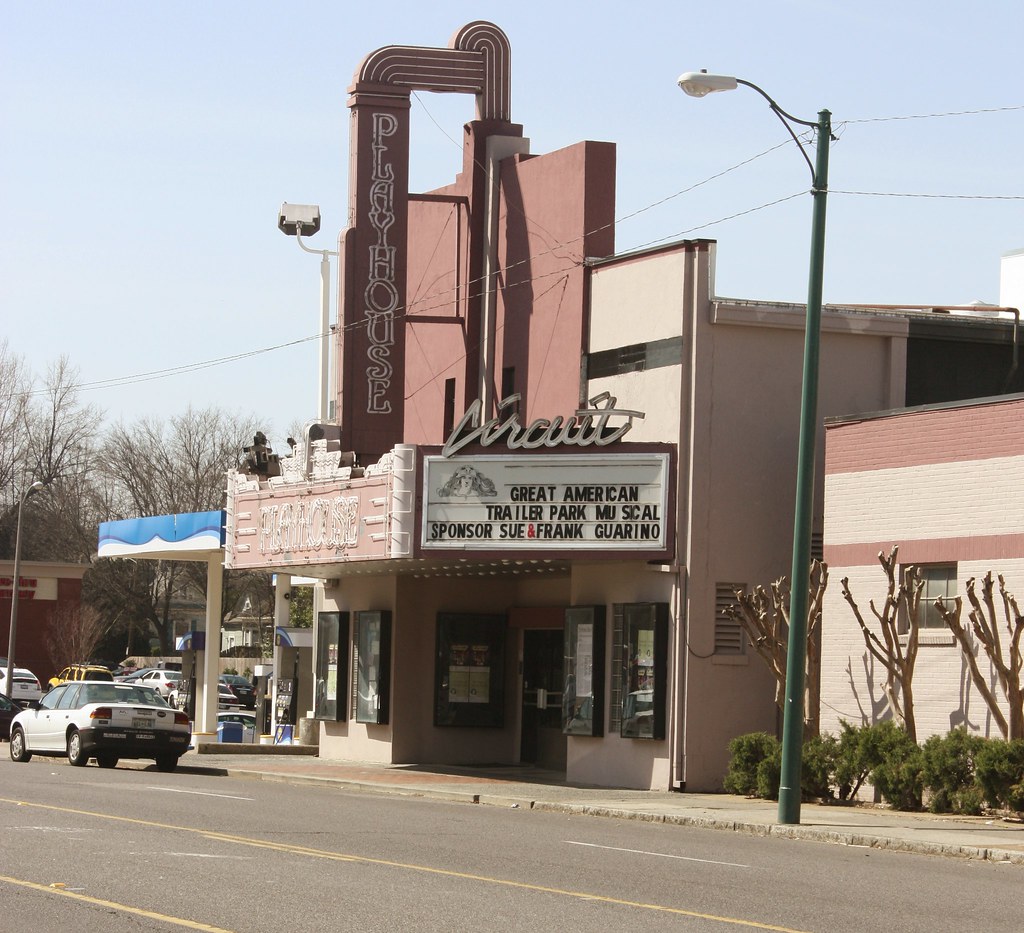
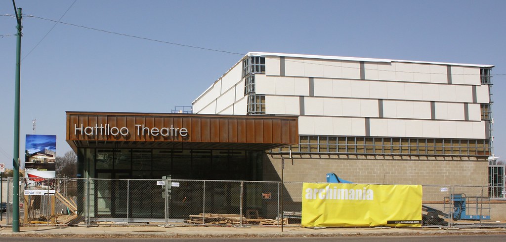
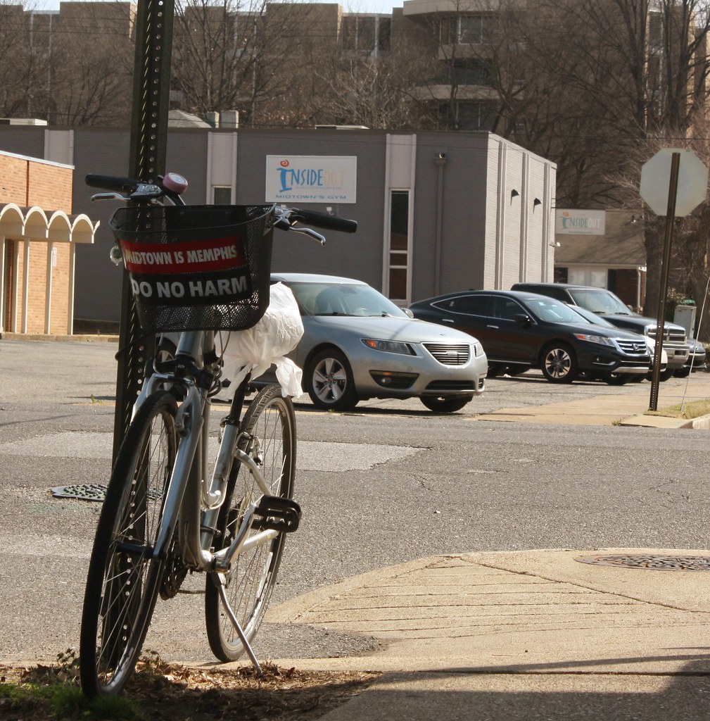
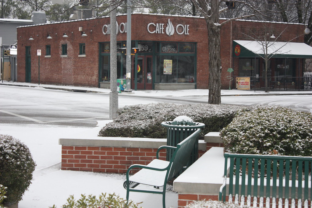
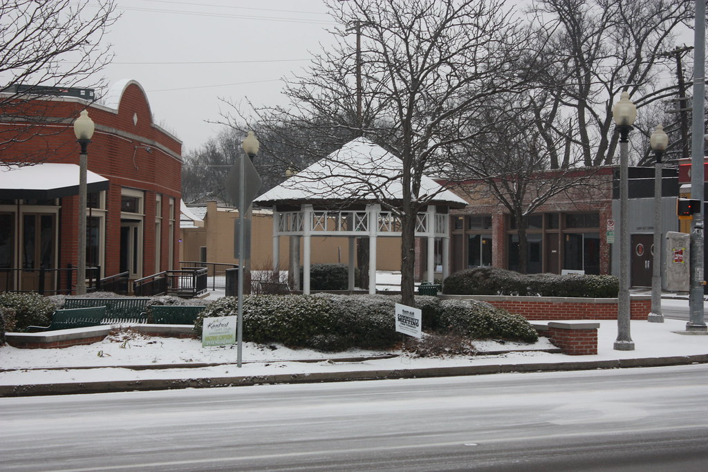
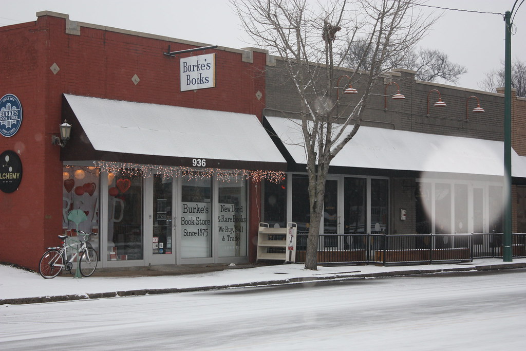
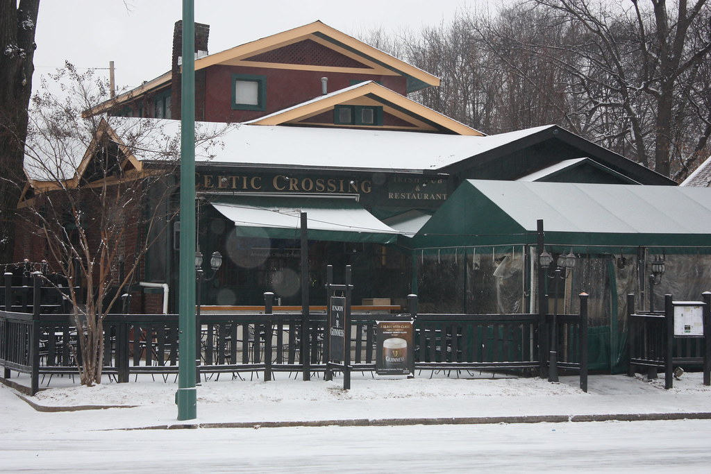
Midtown - Overton Square area, currently experiencing a revival of sorts:

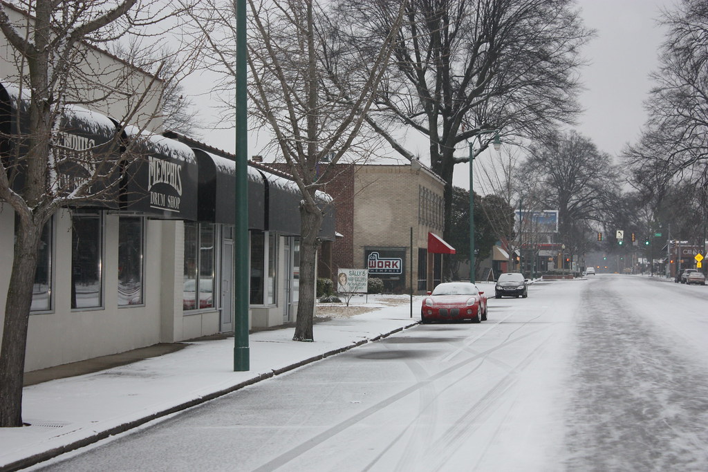
Midtown - Idlewild/Lenox area:
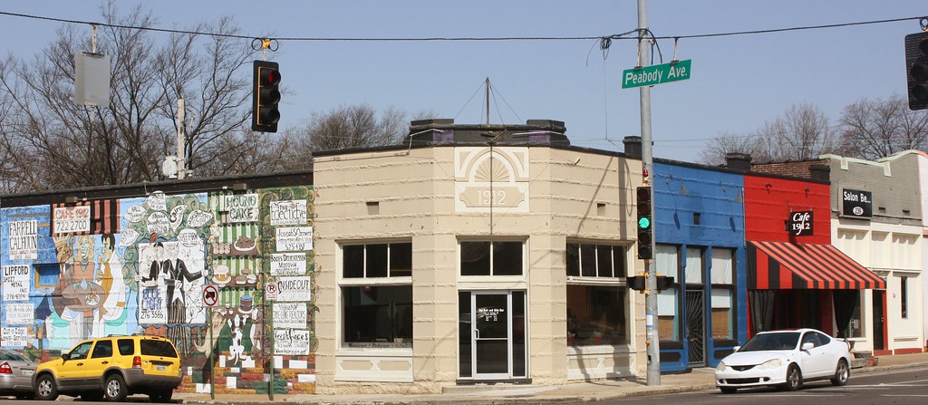
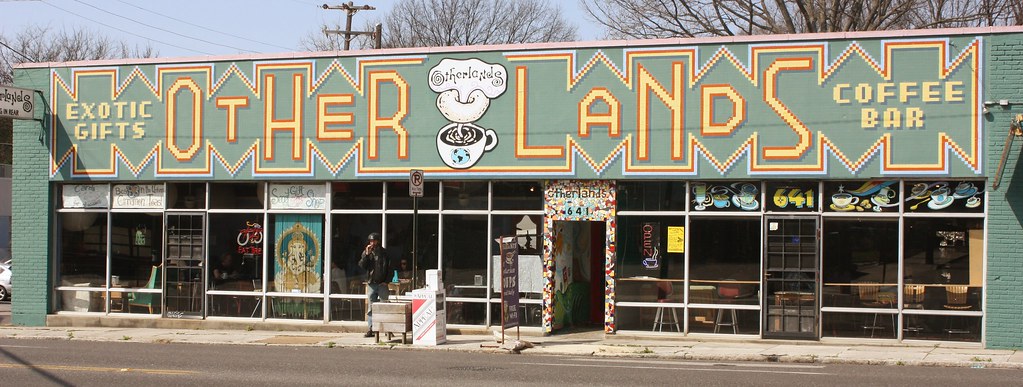
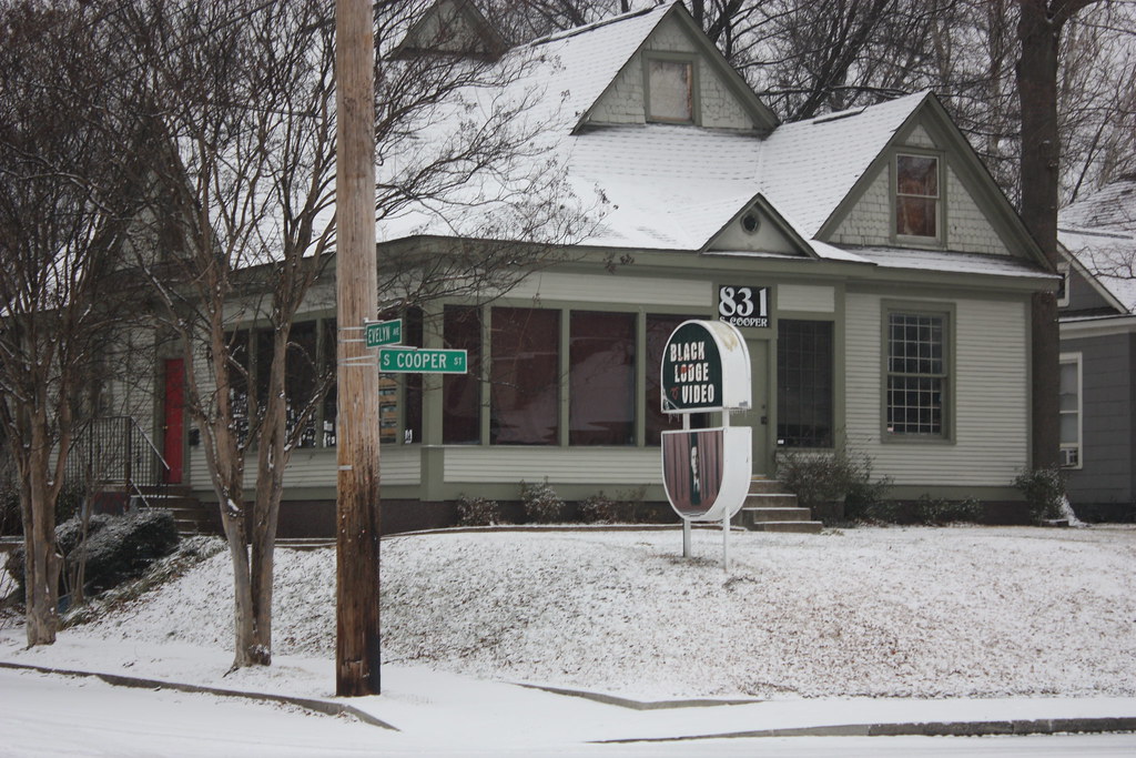
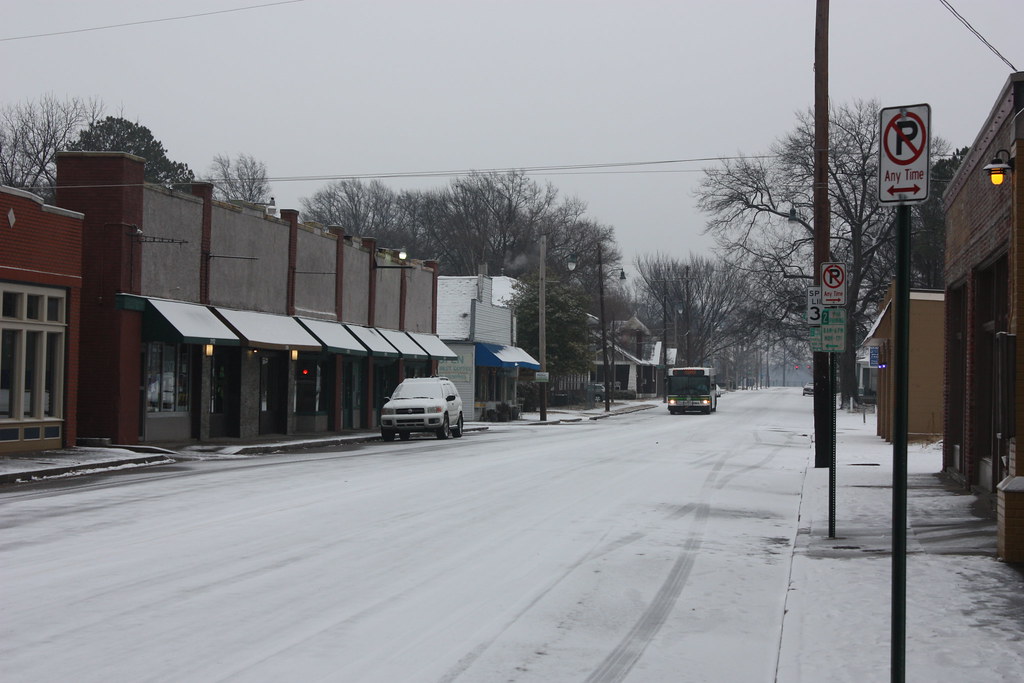
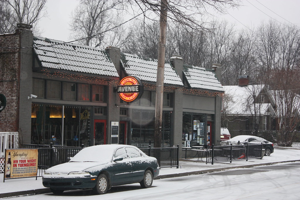
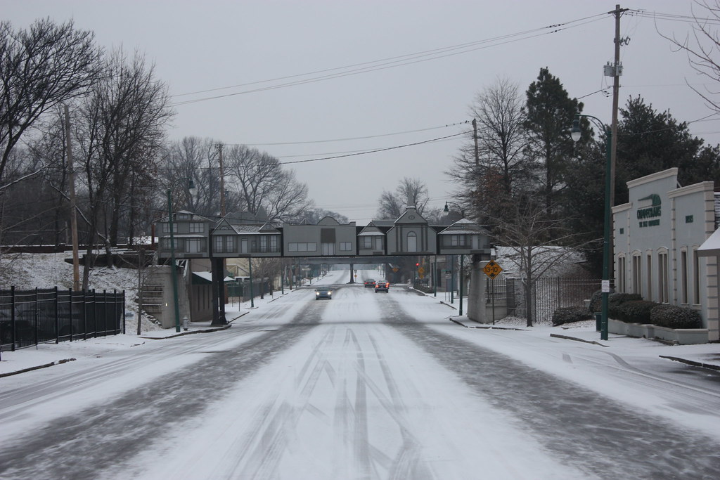
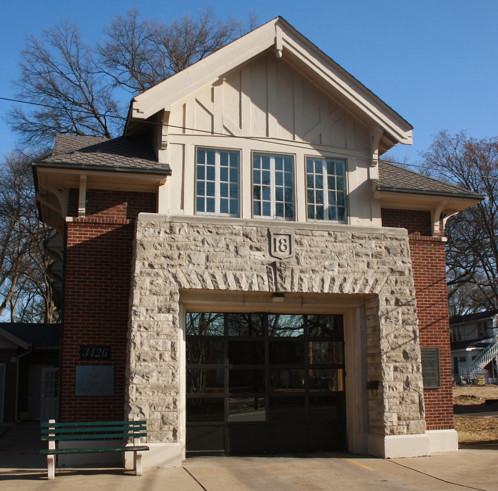
Midtown - Cooper-Young

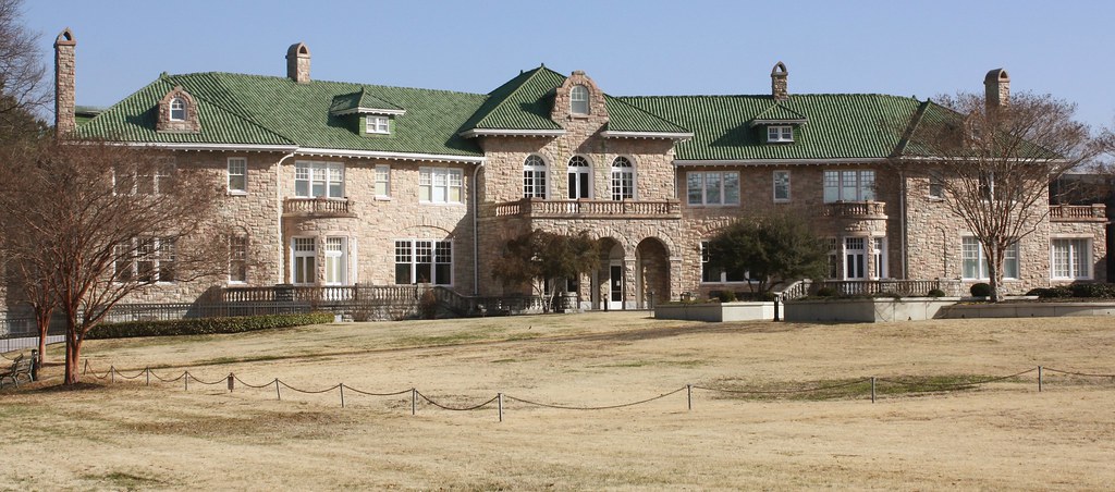
The Pink Palace, essentially the City Museum, once the mansion of Piggly Wiggly founder Clarence Saunders, the inventor of the modern grocery store.
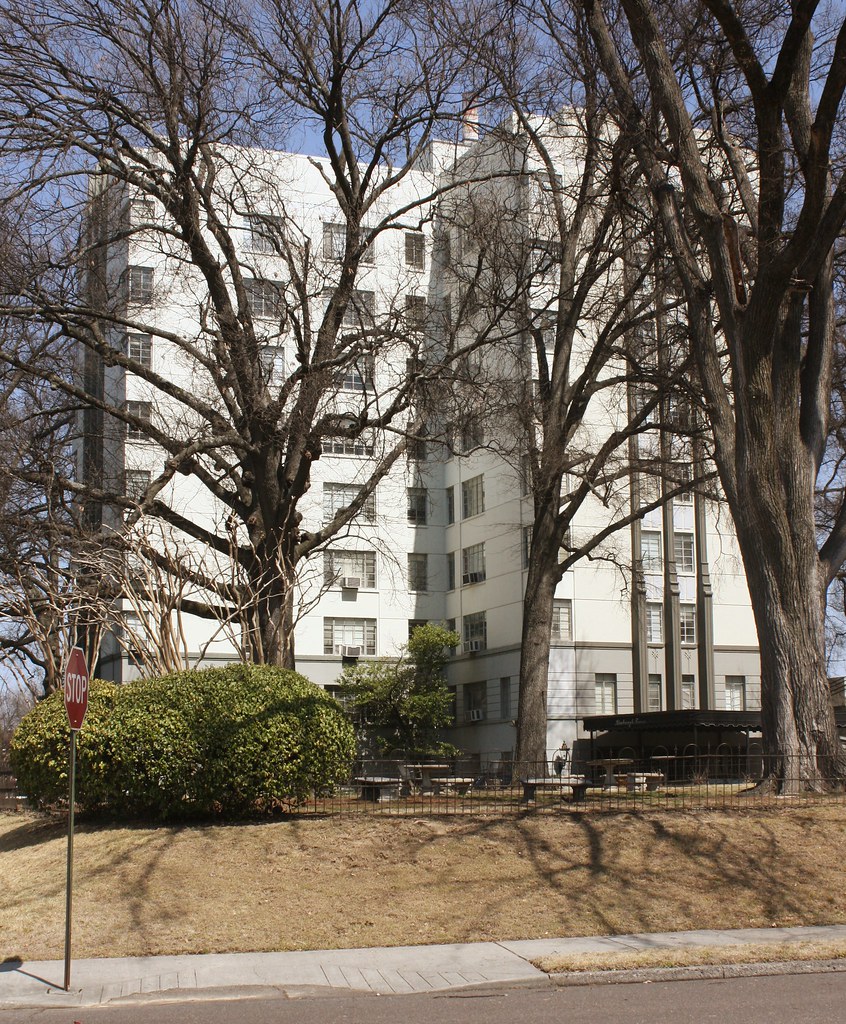
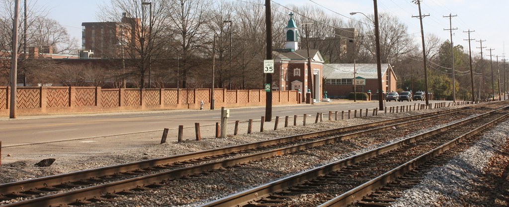
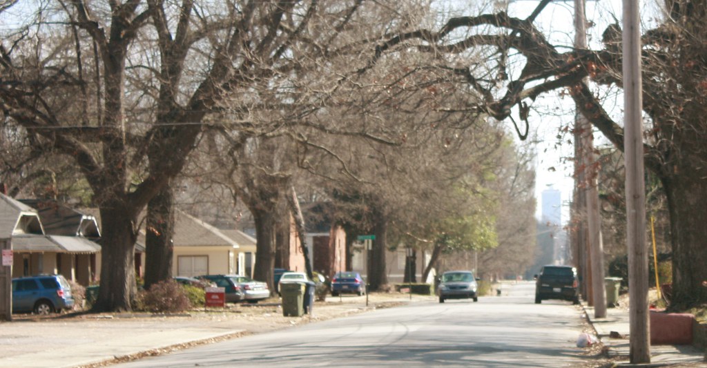
Buntyn Station area:
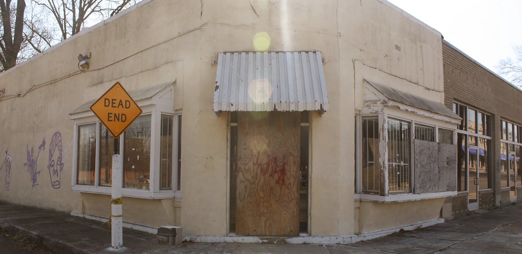
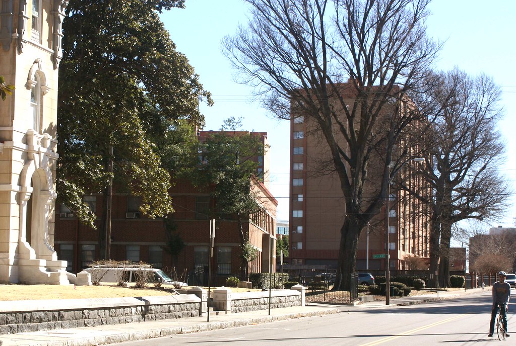
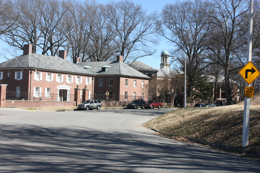
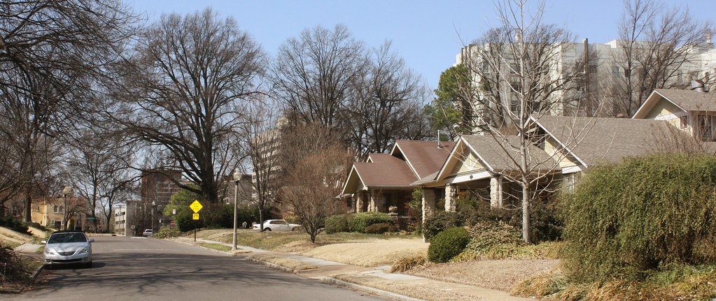
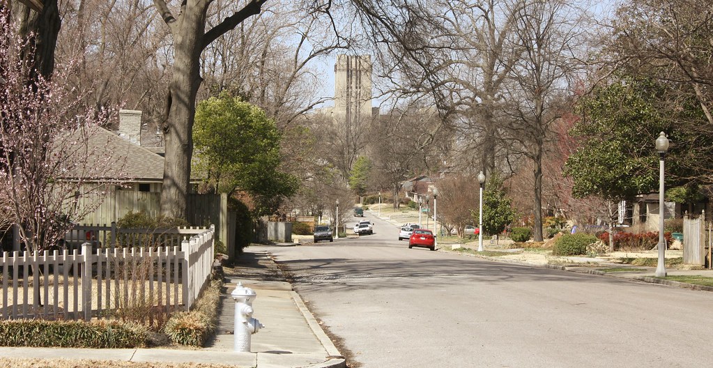
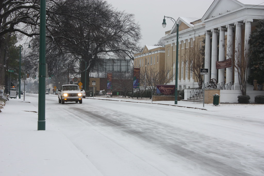
University District:
Residential area looking east, Clark Tower in East Memphis looms distantly.
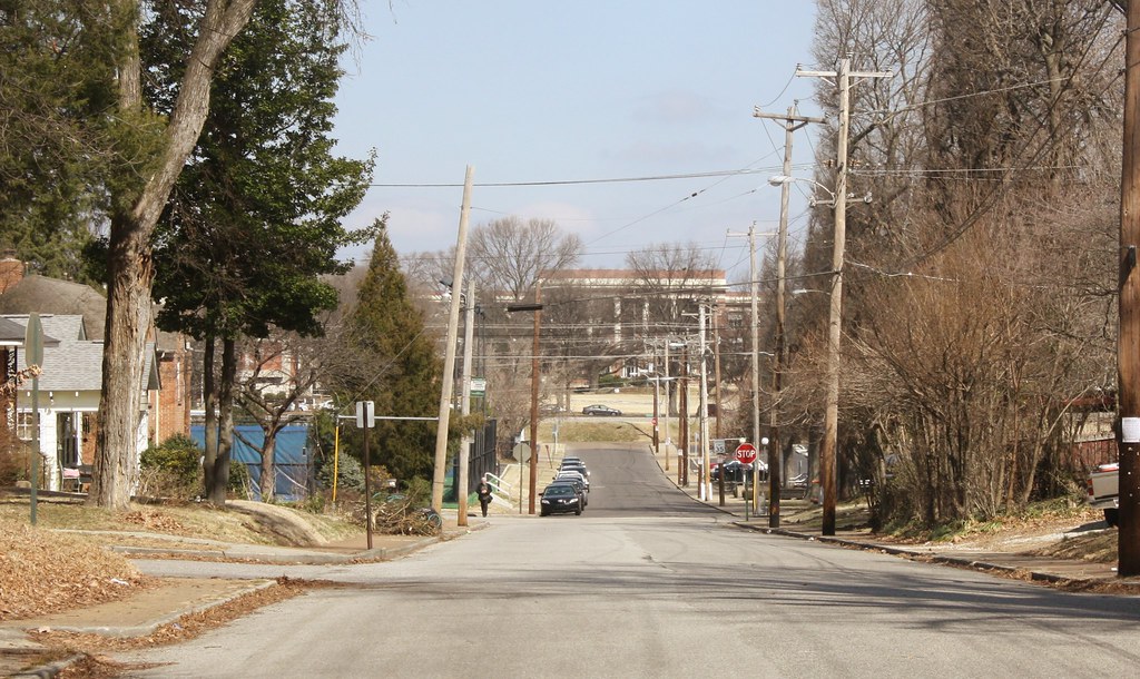
Neighborhood looking into University of Memphis campus.
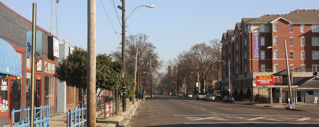
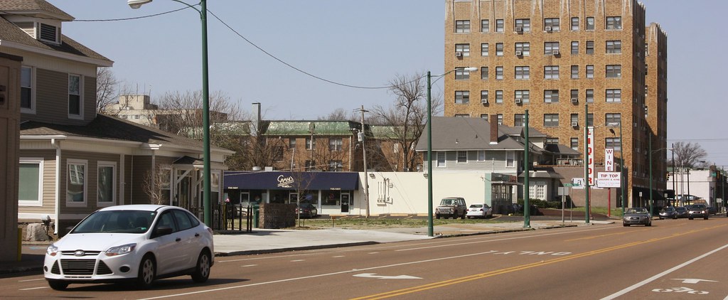
Highland, the main "drag" of the University area.
Finally, to end, a parting shot from Clark Tower-


 Linear Mode
