p.s.: I didn't check to see if any of this was covered before...
Quote:
Originally Posted by ethereal_reality

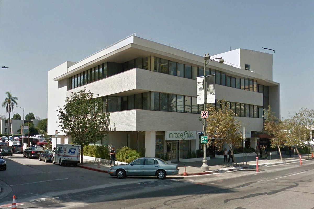
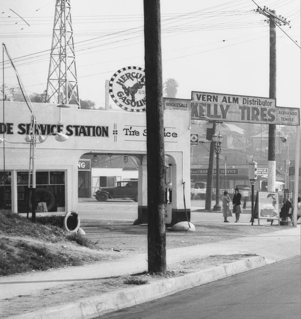
Do you think this small dive bar down in San Pedro could be the place where they were arrested?
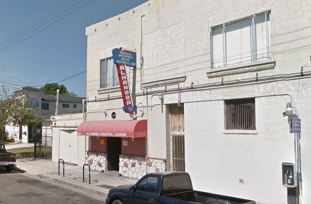
gsv
216 W. 11th St.
Here's a closer look at the blade sign.
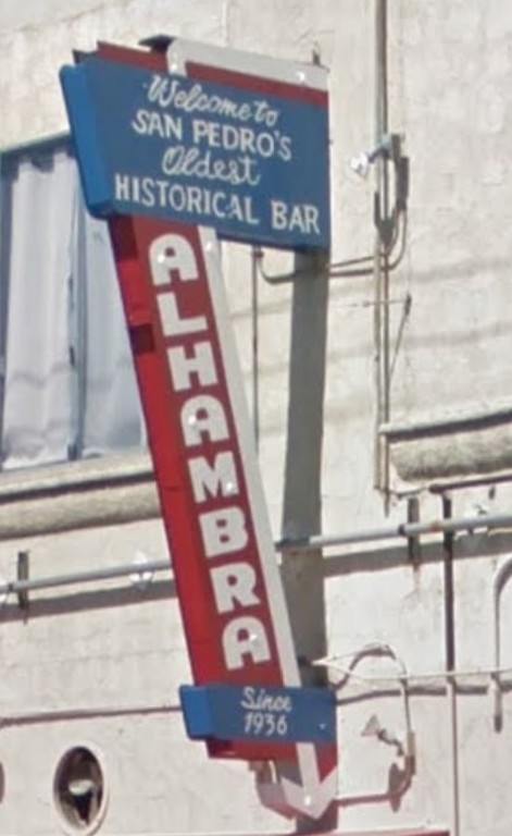
detail
 note that the bar was established in 1936.
__ |
 San Pedro: Block by Block
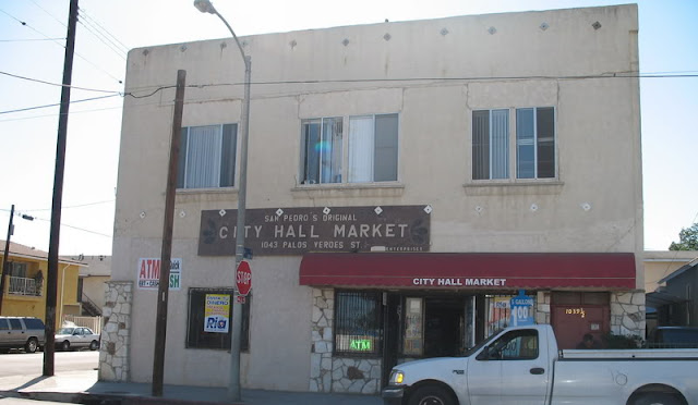
The author writes: "You may already know this, but it is called City Hall Market because this building served as City Hall from 1905 to 1908 when the domed City Hall was built. This is actually the only City Hall Building standing from when San Pedro was still its own city. Had I known its history, I would’ve taken a picture of the whole building.
The Alhambra Bar is attached to the City Hall Bldg on the 11th Street side. I had never seen or heard of his bar until I was walking by…at nearly 9 in the morning. Obviously I didn’t know that most dive bars open at 6am."
From another website:
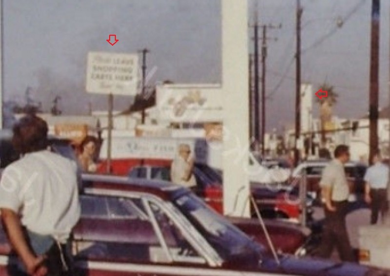
 Swap Meet Lives
Caption: City Hall Market, structure redone 1912 after slight fire damage.
Does he mean 2012? It's definitely been earthquake retrofitted, in any case.
Also says: City Hall Market located on the corner of Palos Verdes and 11th st, this spot has a lot of history.
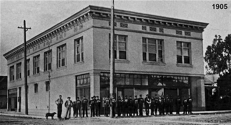
At one point it was actually the first City Hall building from 1905 to 1908.
And on the two sites it was noted by some people:
"[...] the city's oldest bar, the
Alhambra bar, it is also said underneath the Alhambra the old jail still is intact."
and
"Rumor has it that there is a trap door behind the Bar that leads to the old city Jail. I as well have heard about trouble at the Alhambra Room from time to time but I have been it there about half a dozen times now with no incidents. They have a great Juke Box and strong drinks. It’s worth a visit. Probably best when the sun's still up, but I have been there at night."


 Prev
Prev


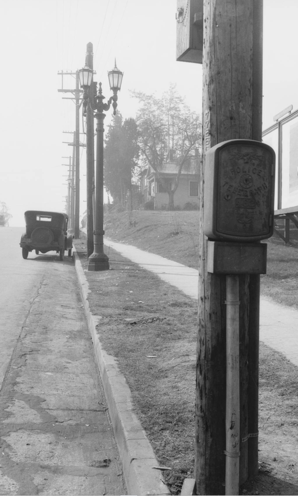
 If these have been seen before, use call box and report problem directly to WigWag.


 GoogGooog
 GooGooGle
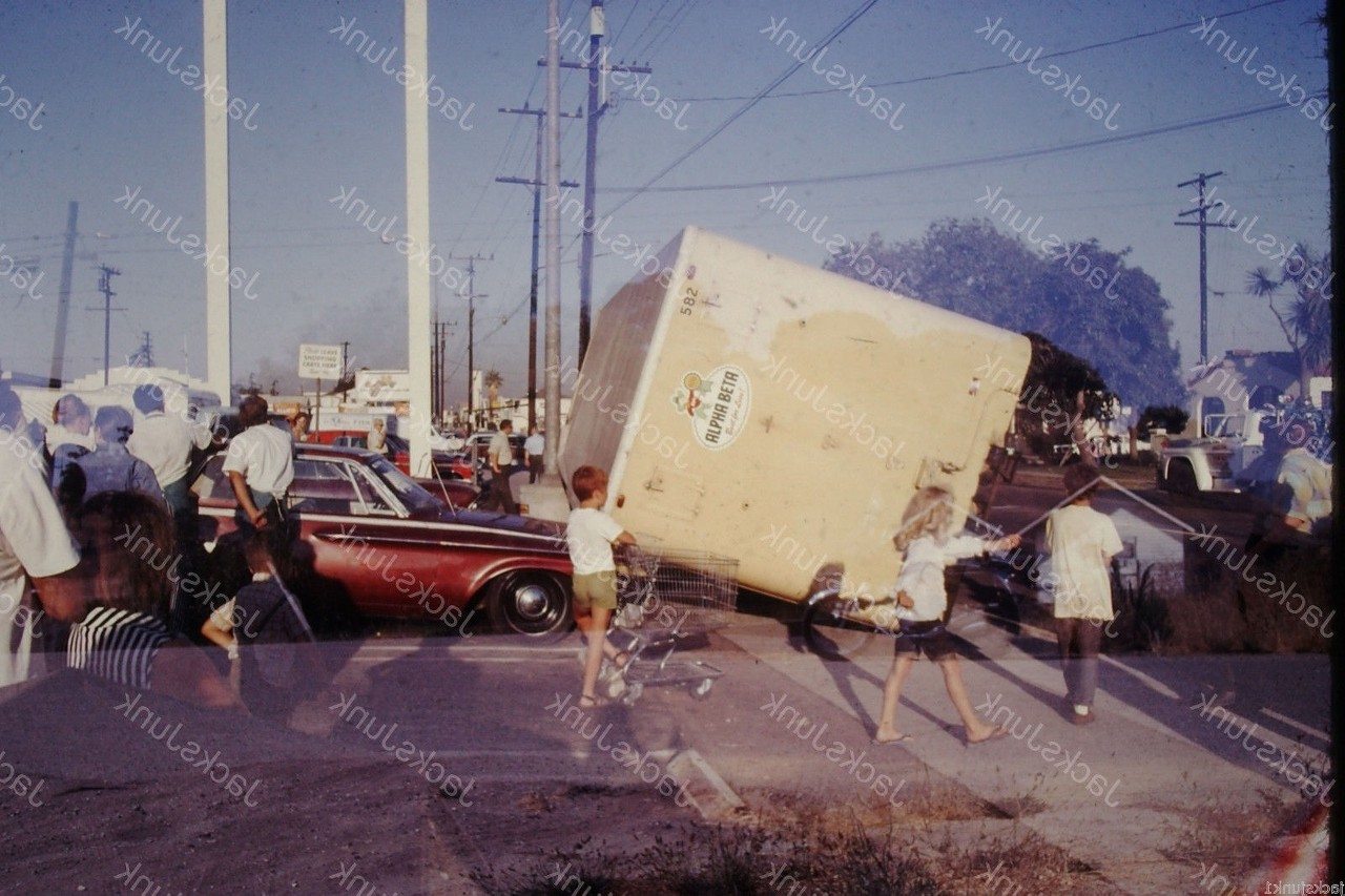
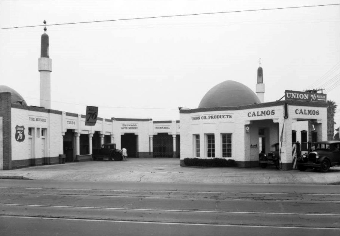
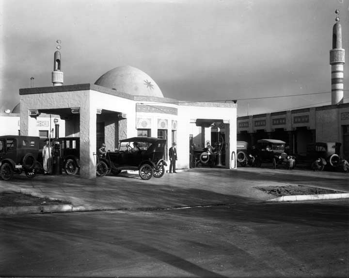
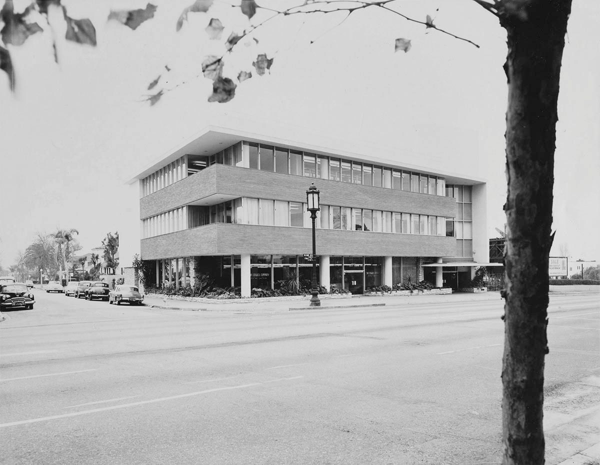
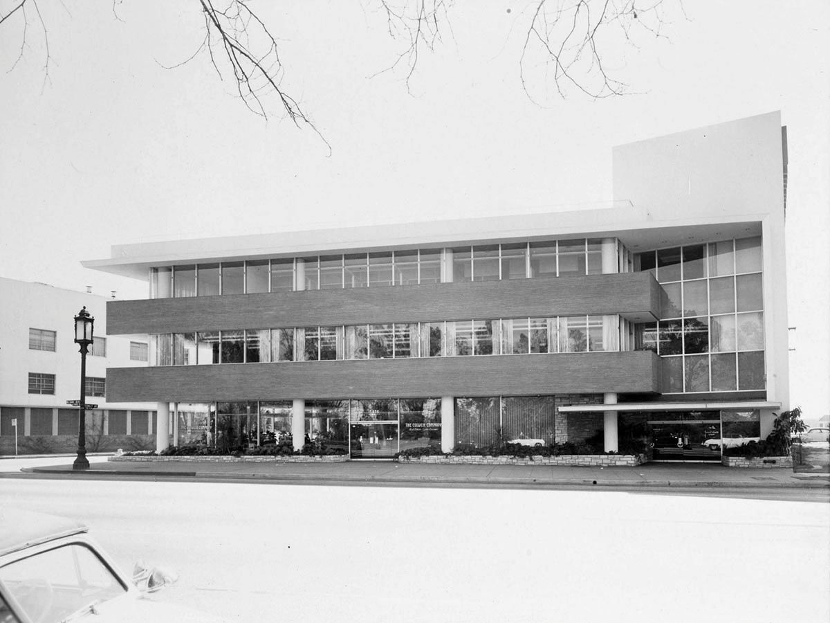
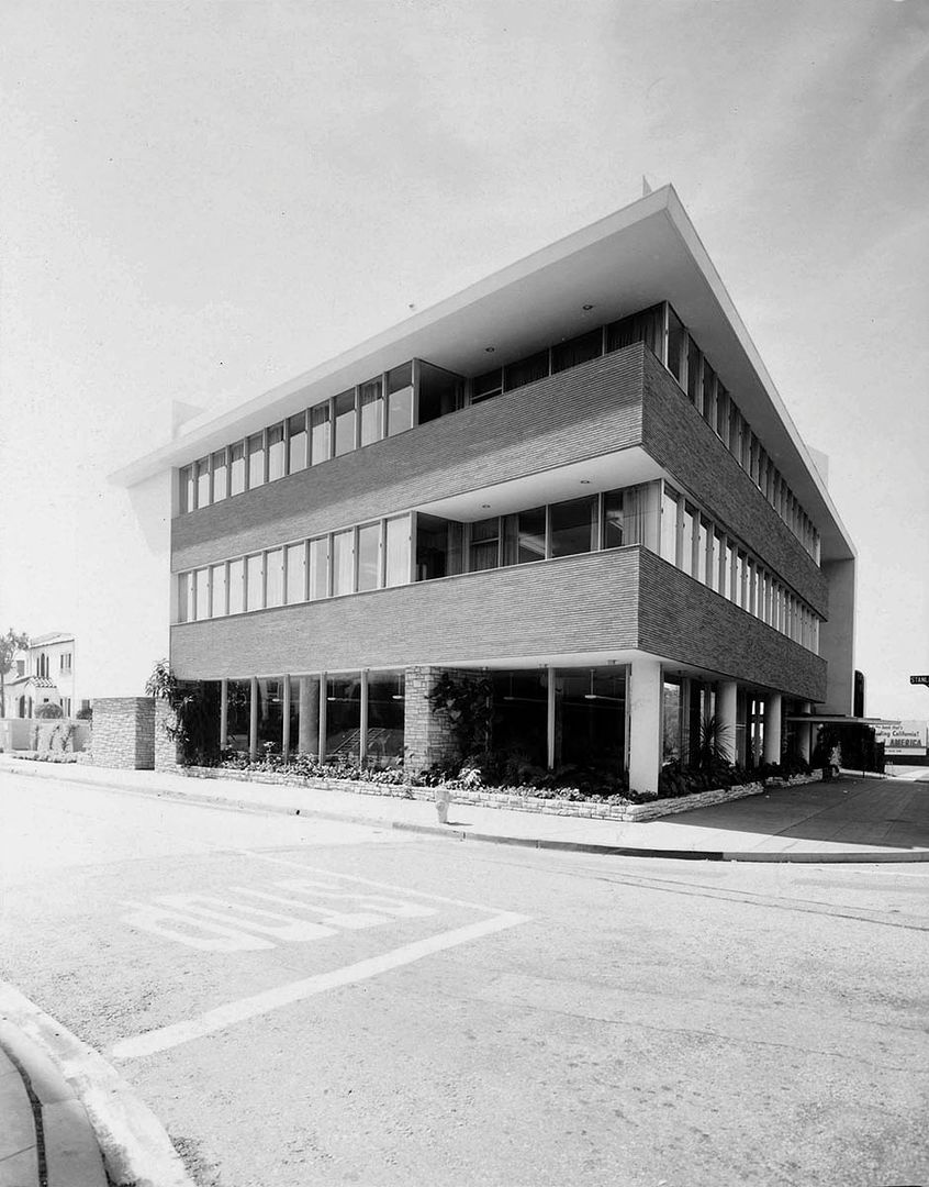
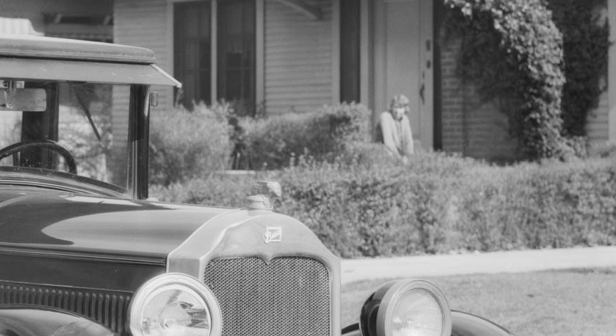
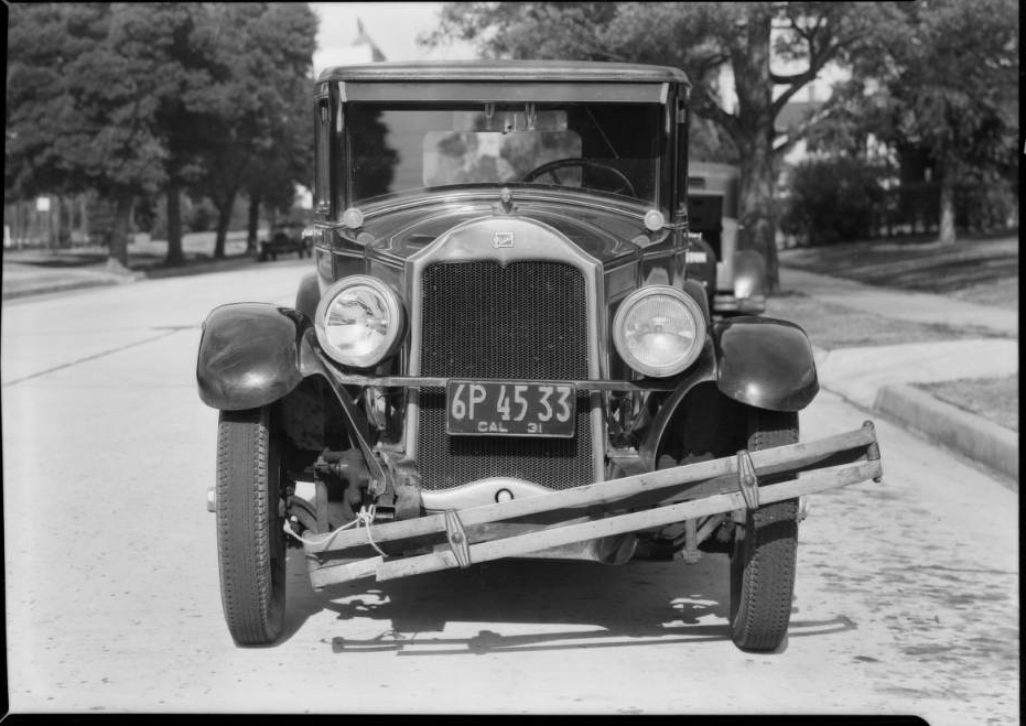
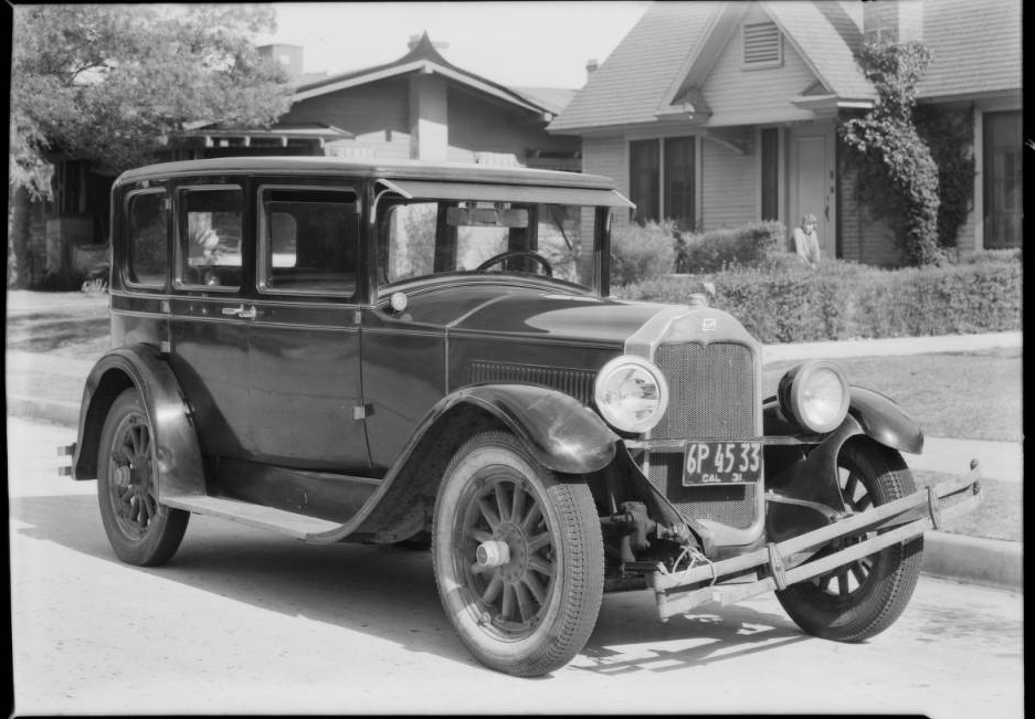
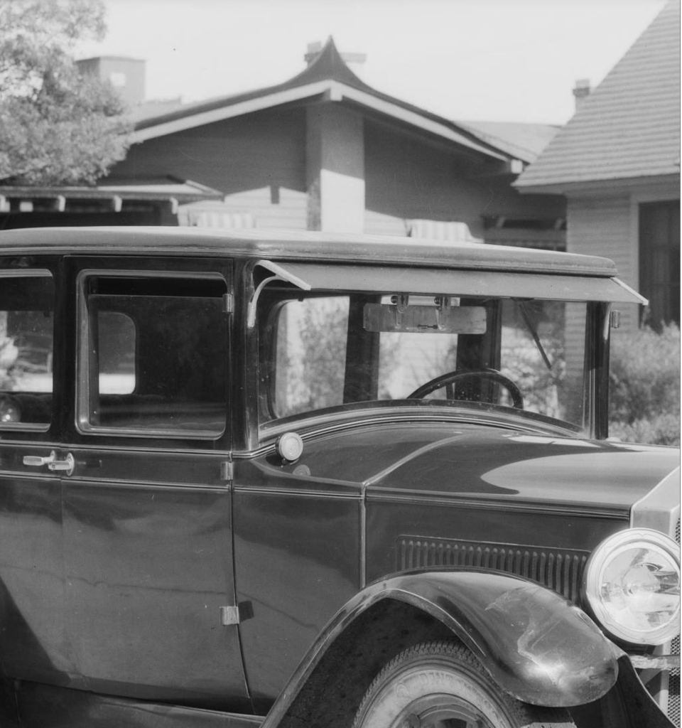
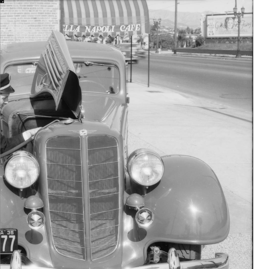
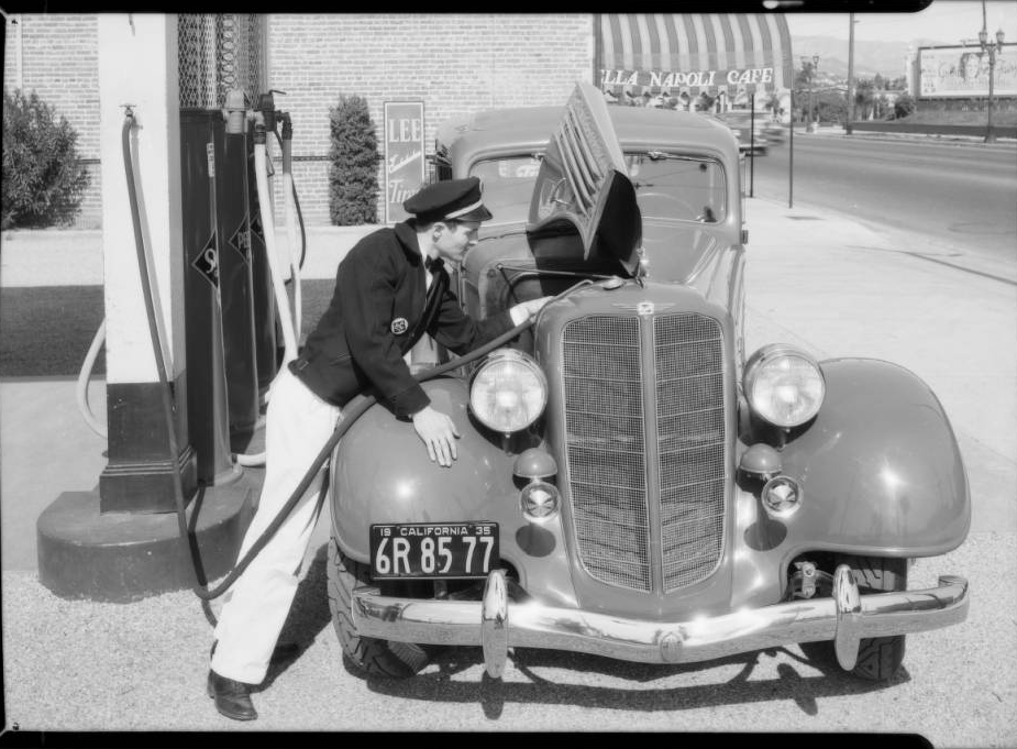
 From USC Digital


 Linear Mode
