Side note -- Mom, it's great (and a bit surreal) to see you here...nice to see you "on board". I hope that at some point you'll tell the "stairway story" that took place at the meeting your father attended (which will relate to the Murphy Ranch piece I plan to add one day), and that you'll ask about the Lummis neighbors and the nearby adobe. (These latter two are intriguing, were they connected? I don't recall.)
In my ongoing Laurel Canyon explorations I've been checking out Lookout Mountain, which has a long interesting and history. I'm slowly piecing the story together but am having a heckuva time shooting "now" photos -- the area has changed so much, most of the old landmarks are either gone, or seem invisible.
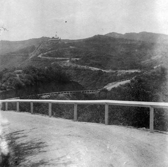
This shot below is my big puzzlement - where was it taken from, and what is this road? In the distance we see the Lookout Mountain Inn, with (I think) the ridge-top of the Santa Monica mountains, where Mulholland would be, behind it. If that is the case we are looking more or less north.
So this road seems to approach Lookout Mountain from the south - except there is no road that approaches from the south. It might be Sunset Plaza Drive, but that road (originally called Holly Vista Drive BTW) doesn't really lead to Lookout Mountain, and I didn't think it was built until after the Lookout Mountain Inn burned down.
So...any idea where the shot was taken from? Will gift a nice book about L.A. to anyone that can nail it within a quarter mile or so.
 http://www.lapl.org/
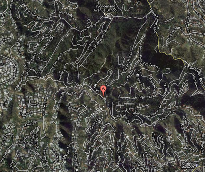
A Google satellite view of the area. "A" is the former site of the Lookout Mountain Inn, now occupied by several homes. Mulholland is off the map, but it's rough parallel to Wonderland, and about twice as far away.


 Prev
Prev


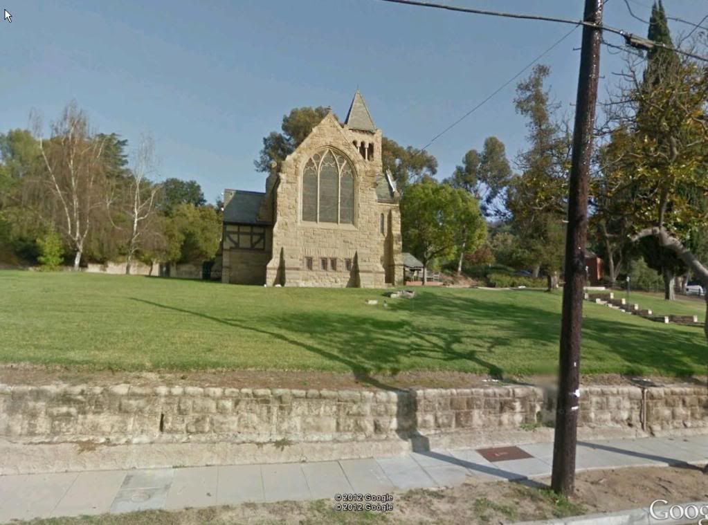


 Google Street View
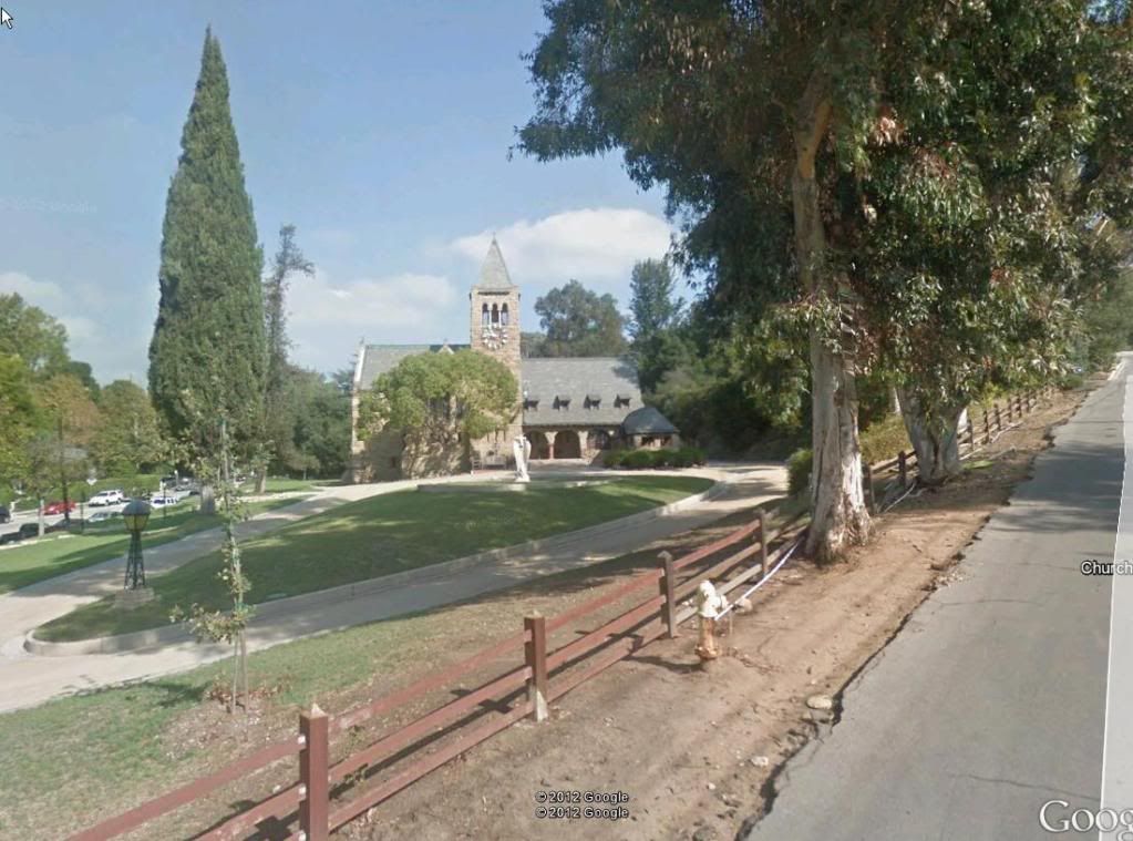


 Google Earth


 Google Street View


 Linear Mode
