Quote:
Originally Posted by ethereal_reality


Oh my, that is a beautiful ceiling Martin Pal!
Is it still there, or has it been remodeled? |
No, I have no idea when it was remodeled, but it hasn't been there since
at least the 80's. The open air dining room/restaurant area is still around
and is where I learned to love Caesar salads. Well, "good" Caesar salads.
They made one for our group right there at table side, and complete with
raw egg and anchovies. (Hardly anyone does the "raw egg" bit any more.
They use those liquid egg substitutes for "safety" concerns.) I'd sure love
to have looked up and seen that ceiling. Unless this room pictured was
somewhere other than where I believe the dining room to be...of course.
Also, if one looks into the Blossom Room expecting to see something out of
the past, you'll be disappointed. It's basically like most large hotel room spaces
where it's the decoration that someone does that makes it memorable. It does,
though, also have a gorgeous designed ceiling which can be lighted in different
ways.
The Blake Edwards film SUNSET, which recreated the first Academy Awards,
filmed those scenes in the Blossom Room, but besides being a bad film, it also
had bad art direction. (My opinion of course.)


 Prev
Prev


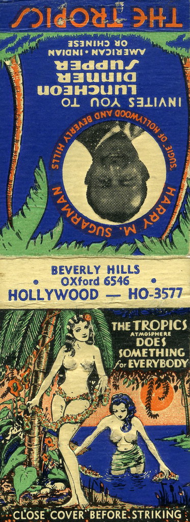
 "It Rains
 The
The  The Outrigger was
 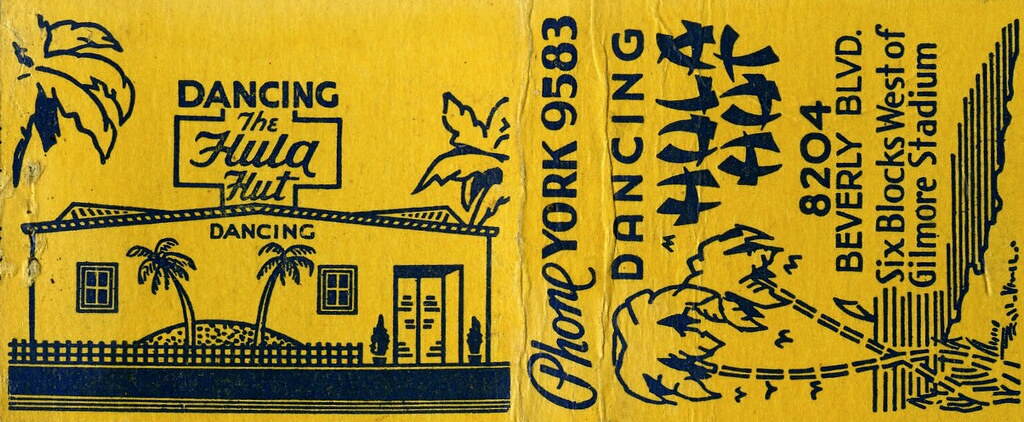 "
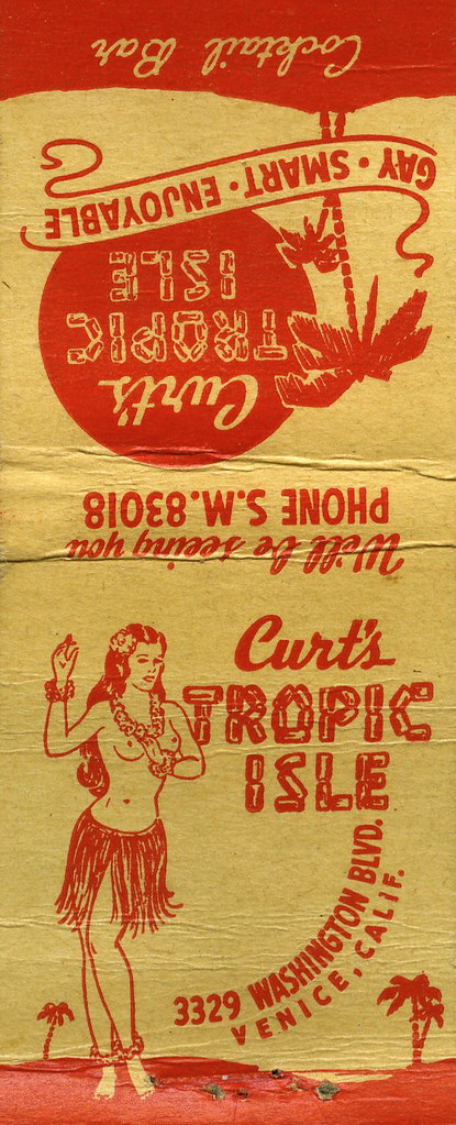
" Sure, it's not in LA, so sue me. But it's
 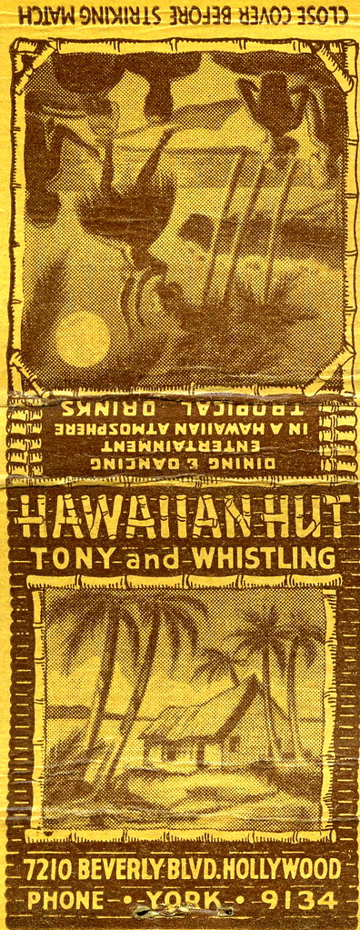 I bet the sleuths here could dig up more on Whisling and the
 Goin...
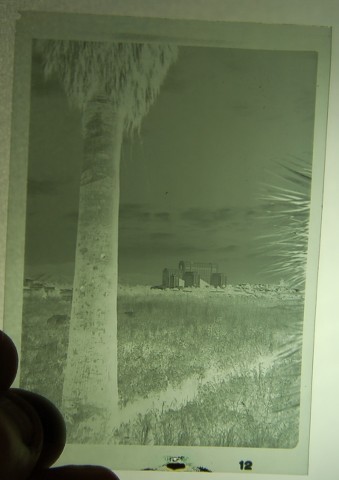
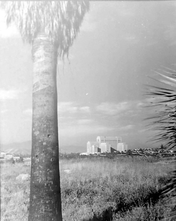
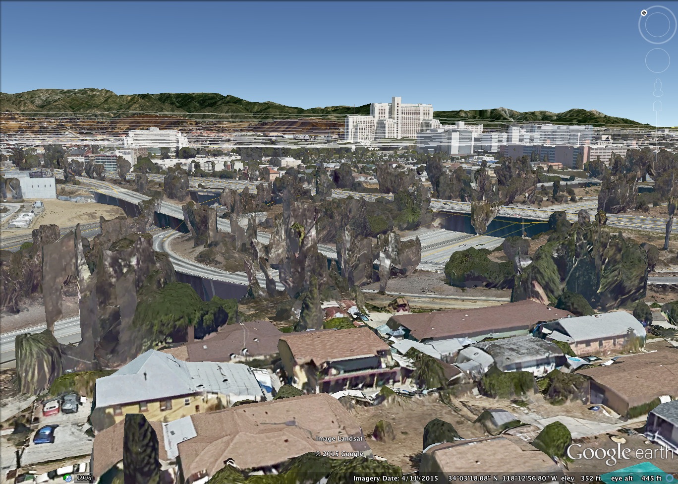
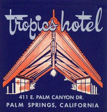
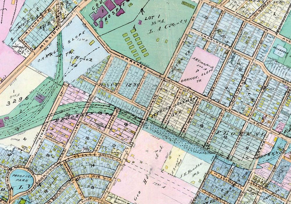
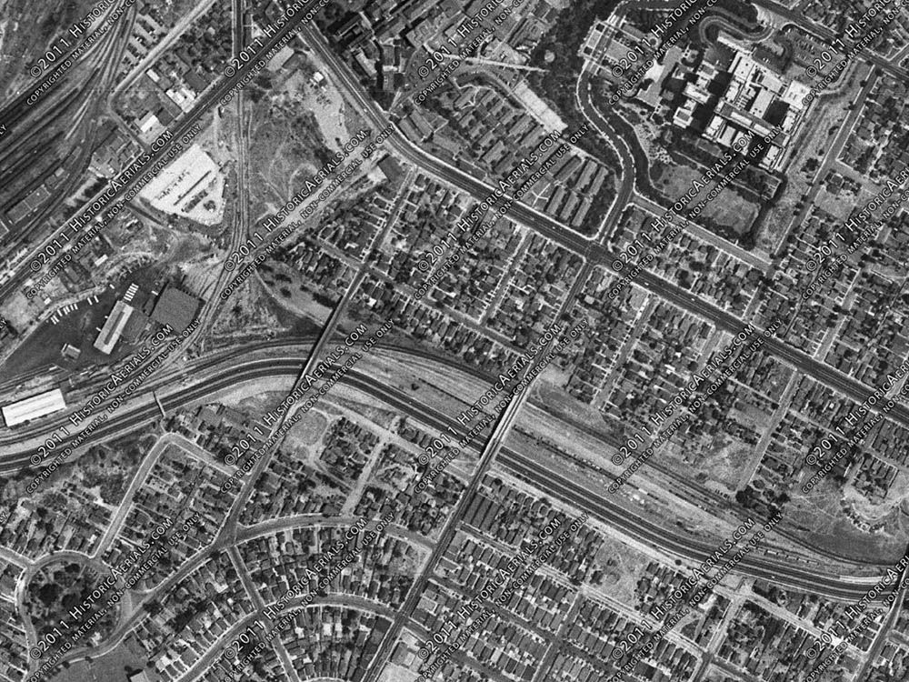
 A
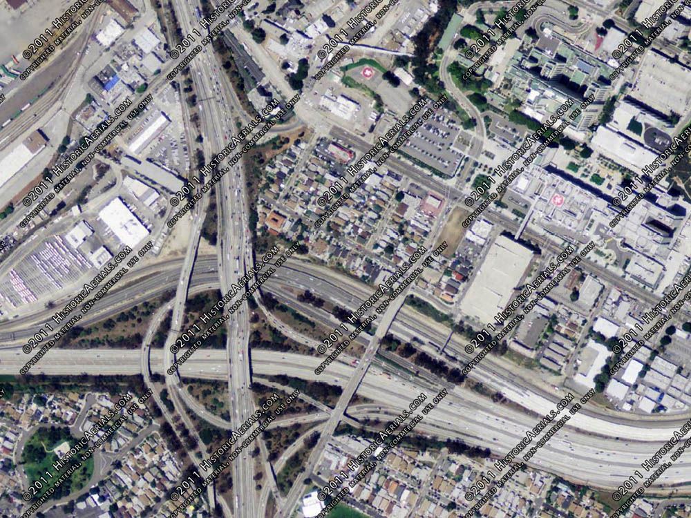
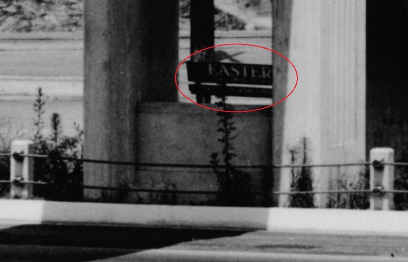
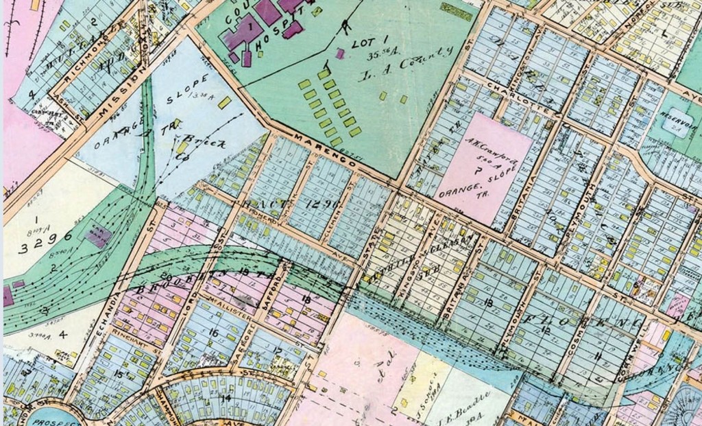
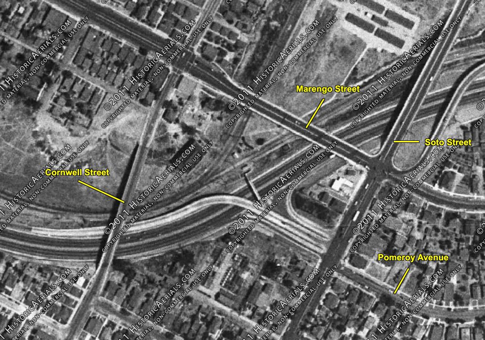
A  Now the site of a hospital.
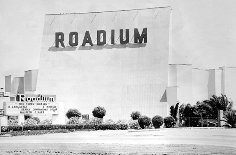
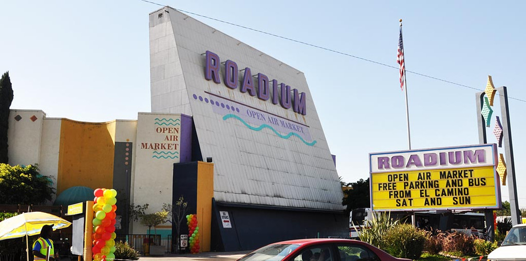
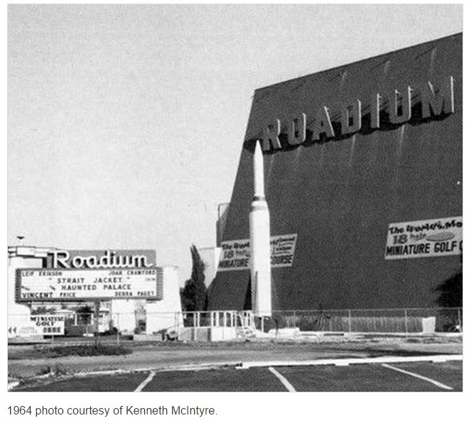
  Famous for the "
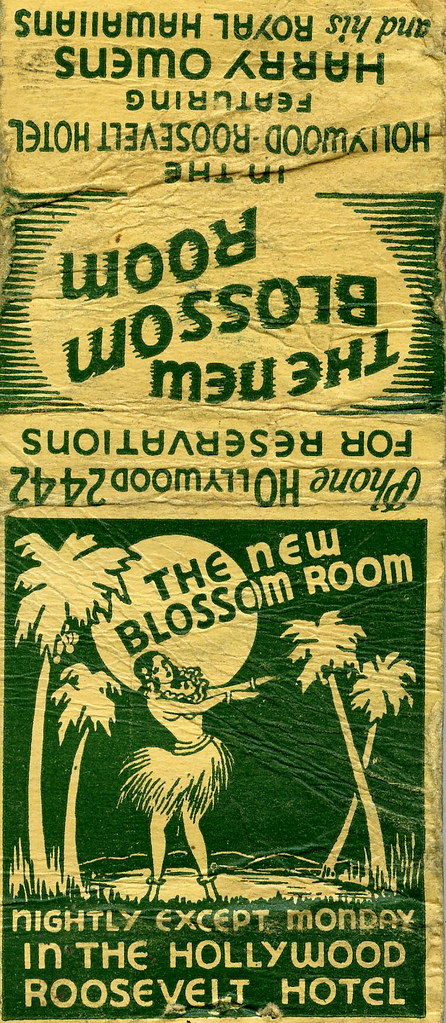 Yes,
Yes, 


 Linear Mode
