I am a long-time lurker to this thread and have read up to page 340 or so. I have great respect for the knowledge and passion shown by virtually all the posters; you all have made and are making a significant addition to the historiography of Los Angeles. Great job!
I live in Lookout Mountain Park, and when I read 3940dxer's posts on the Lookout Mountain Inn, my interest was piqued.
For my first post, I thought I would share some information about a mystery street that 3940dxer found: Double Bow Knot Boulevard. 3940dxer posted the following postcard (and if I fail at embedding images, I ask your pardon and would be grateful for any direction to make it succeed.)
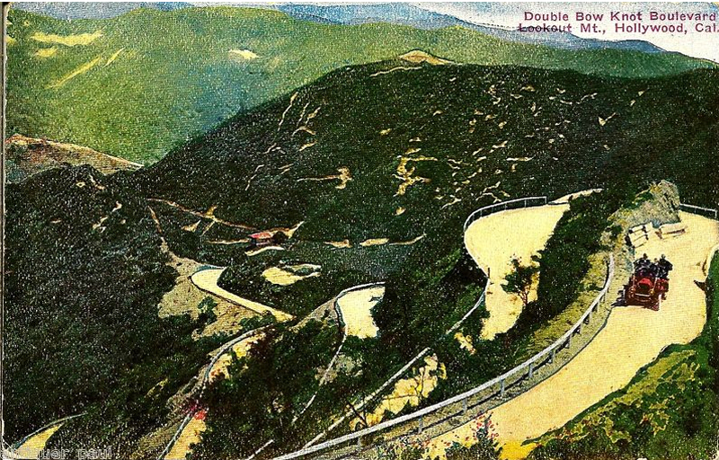
I know most of the streets in this neighborhood quite well, but this was a total blank.
Recently, I found a (public domain) 1924 USGS topo map of Burbank whose SW corner included Lookout Mountain Park. To my surprise, I found Double Bow Knot Blvd.:

I have added a few modern street names for context.
Next is a Bing Maps view of the modern street alignment, with the general area of the switchbacks outlined in orange. Then come two Bing Maps bird's-eye views of the area which actually show the switchbacks (arrows). Lastly I will post a contemporary LA County Assessor's index map which clearly shows upper and lower Crescent were connected when originally surveyed.
Modern streets:

Aerial view:

Close-up:

County Assessor's map showing connection of upper and lower Crescent Drive:

I'll close by mentioning that this area is a 10 minute walk from my house, and that the grades are still visible, although after 100 years, the vegetation has pretty much reclaimed everything. Hope to post more on this area in the near future.


 Prev
Prev


 That would be great!


 Garry's Stuff
 GSV
GSV


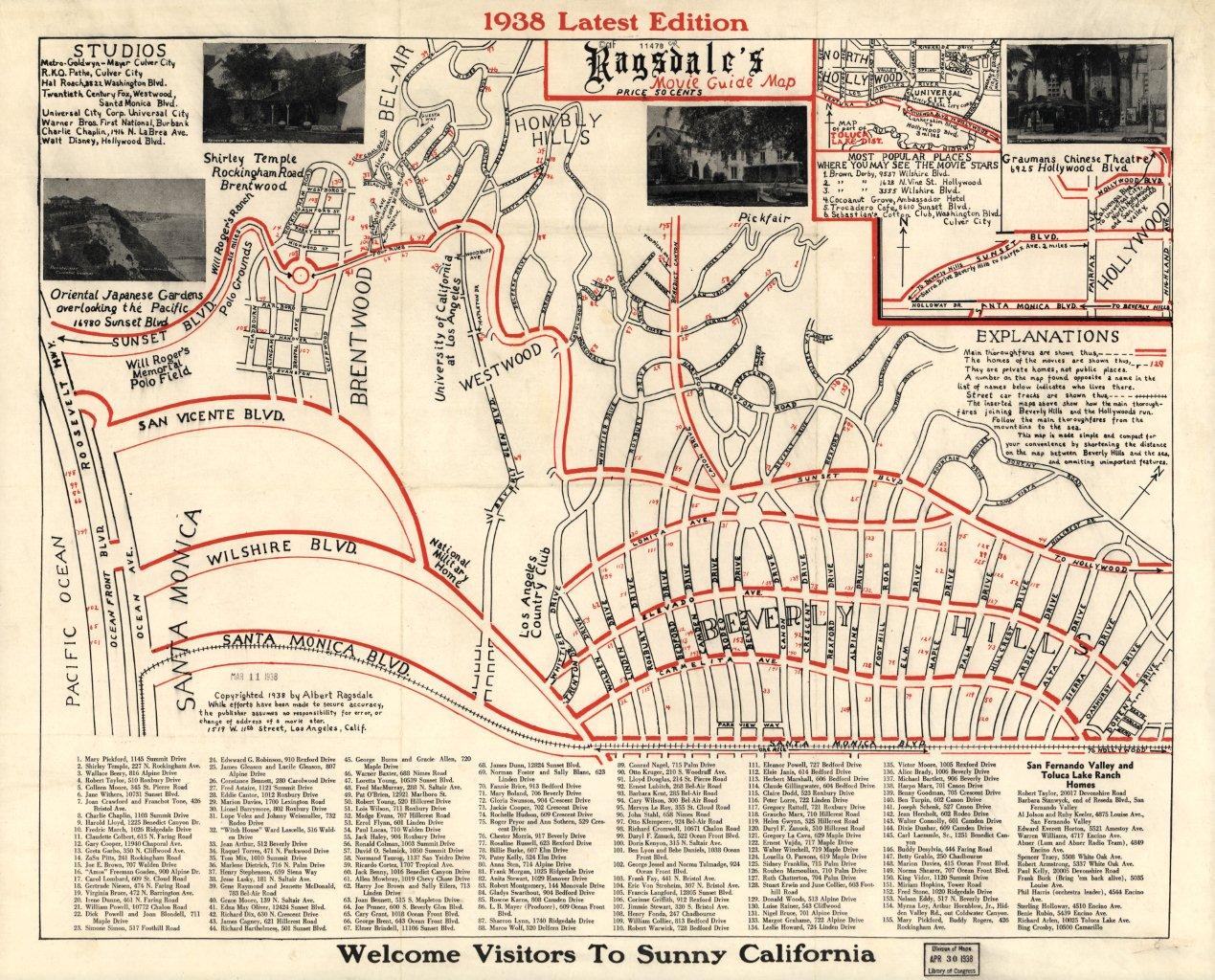
 The map is dated '26. Barrymore (John) did not make the list. (Maybe he was using Lionel's spare bedroom).


 Linear Mode
