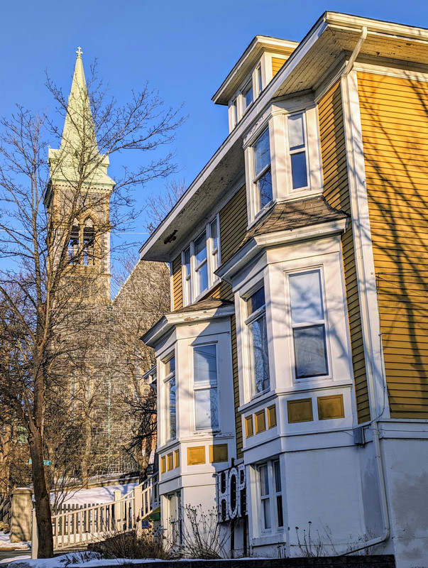
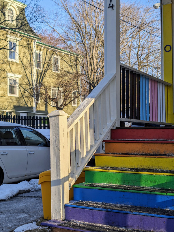
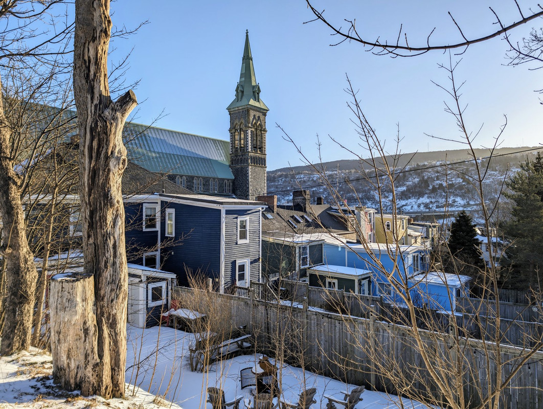
Went for a sunrise stroll over to the Southside - ended up walking around for three hours singing Reik
 • Video Link
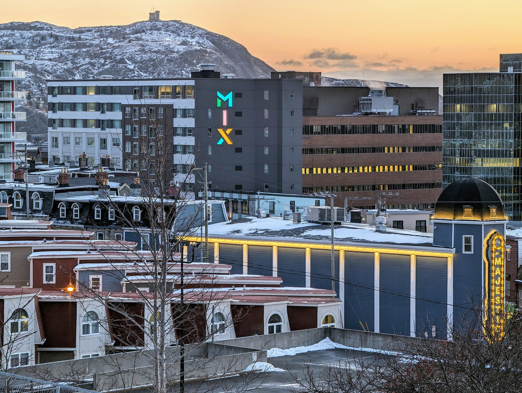
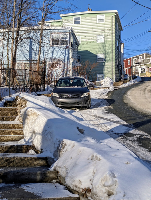
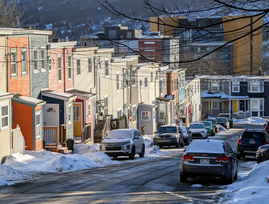
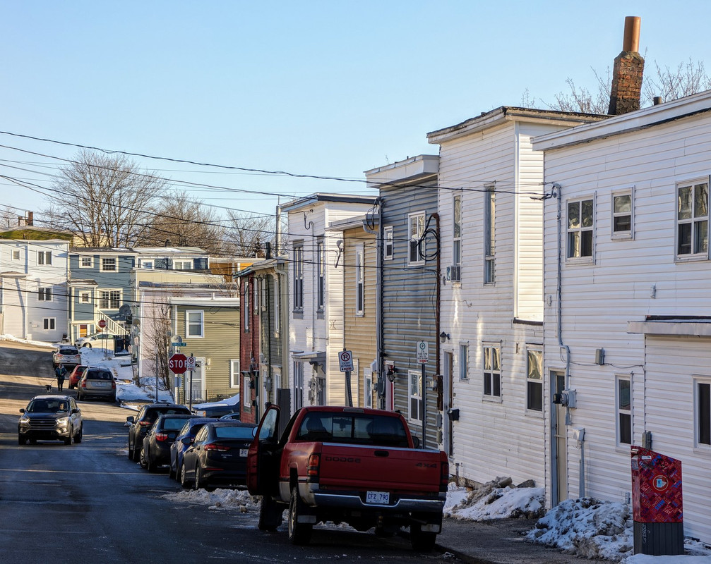
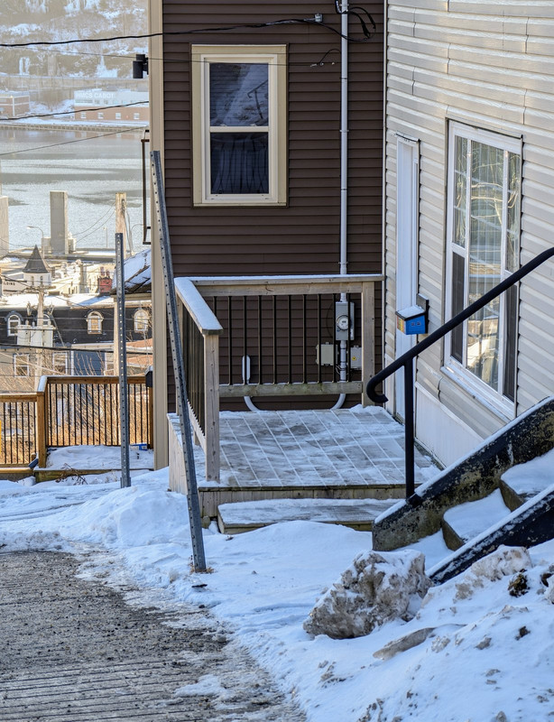
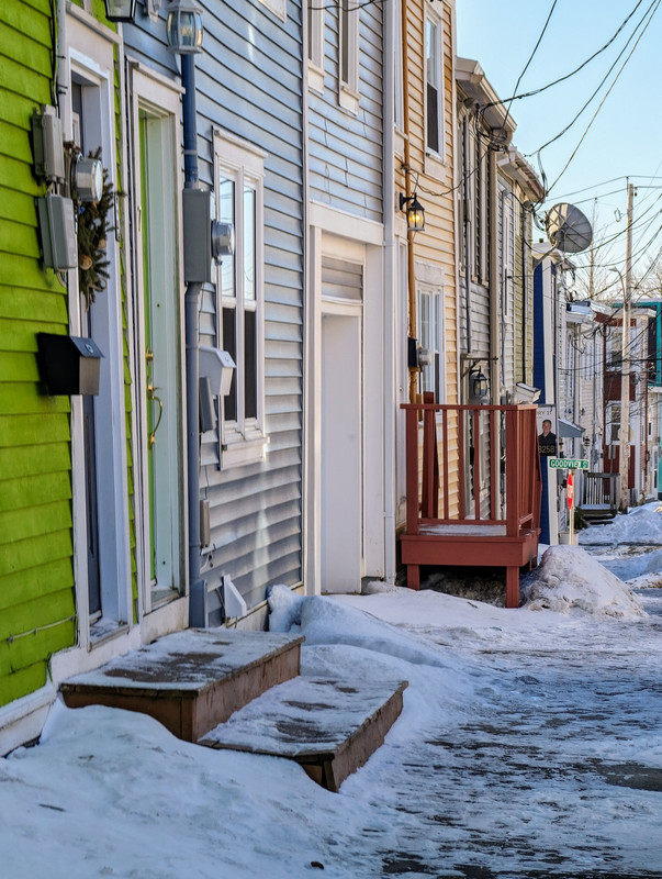
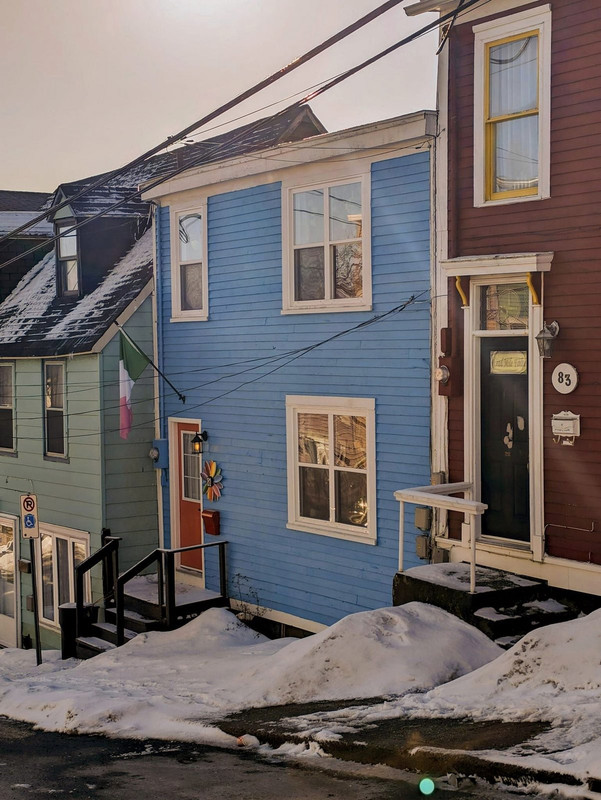
Bottom of my block.
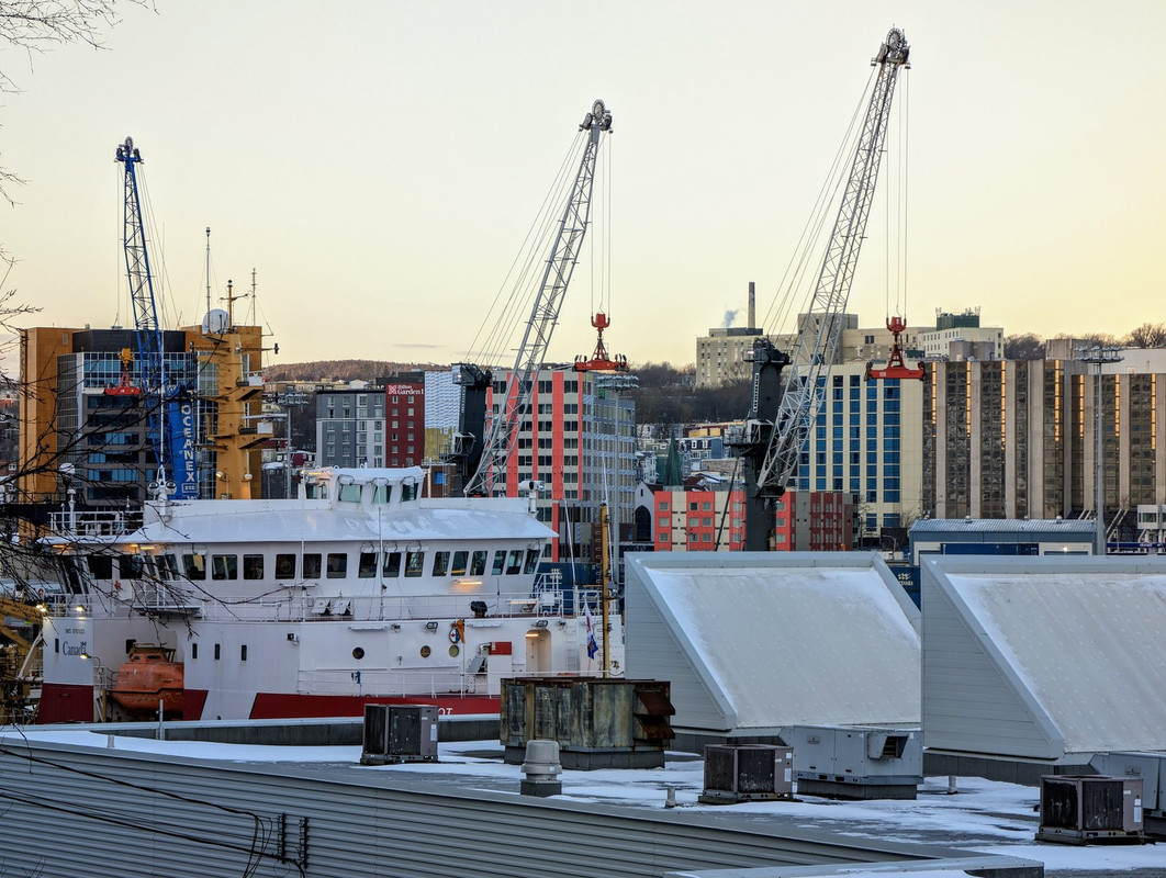
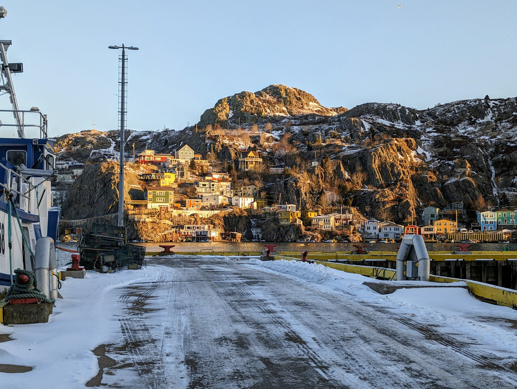
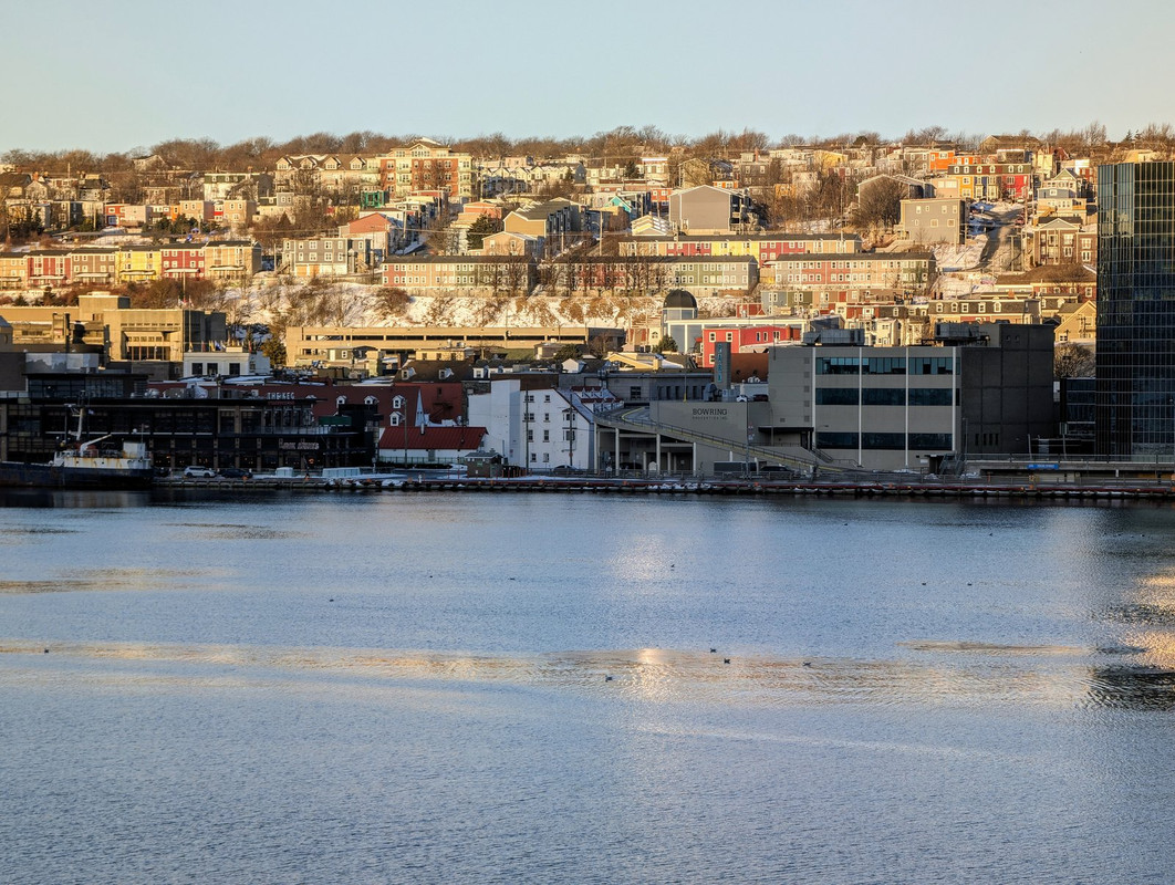
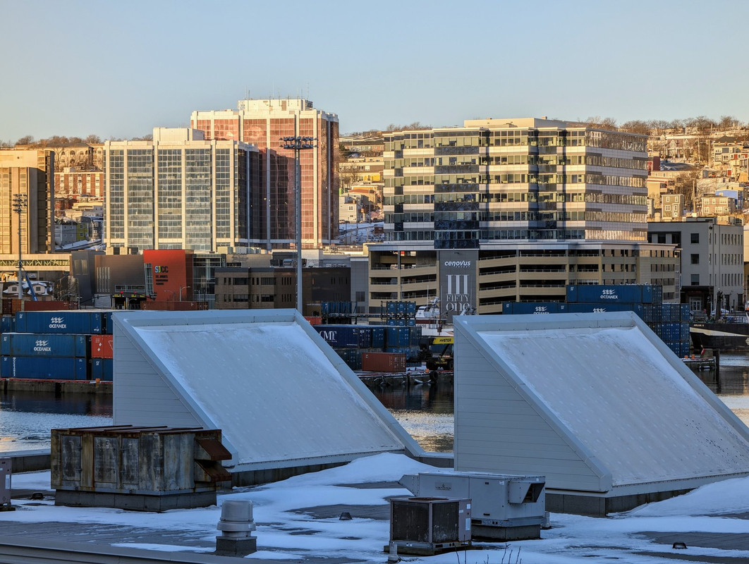
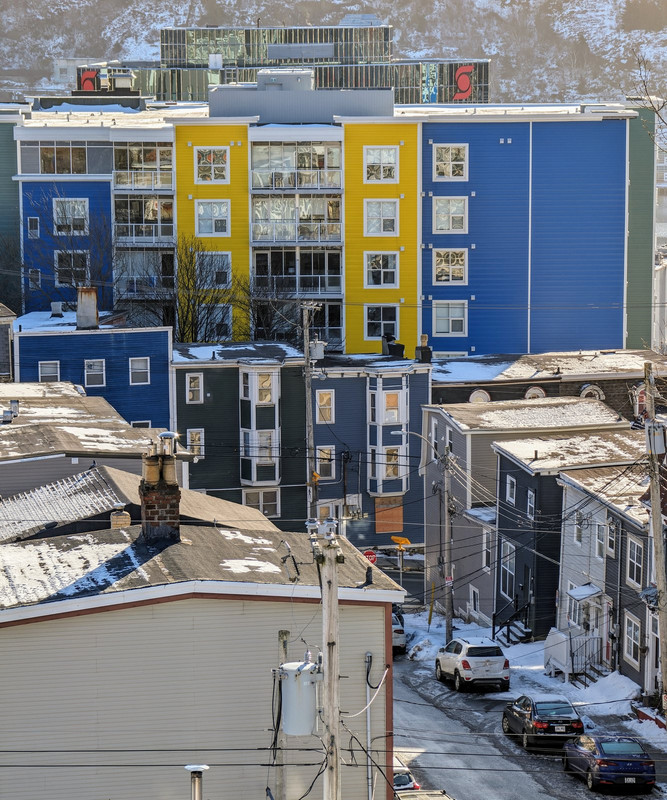
Southside, at the dry docks.
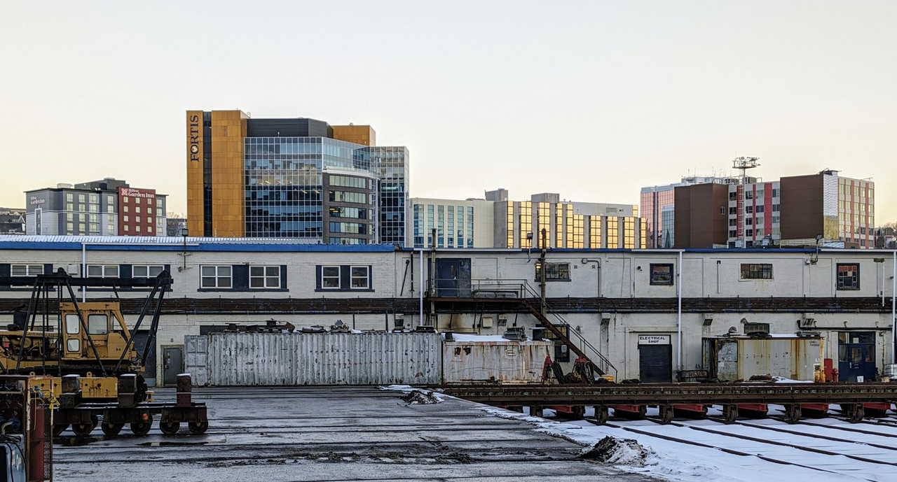
Fortis at the bottom of Springdale Street.
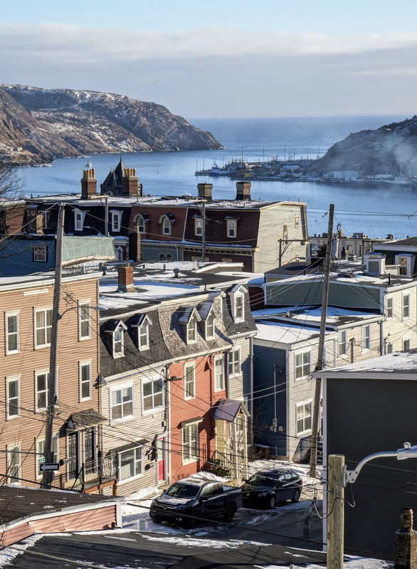
Looking toward Cochrane Street, Bannerman Park, etc.
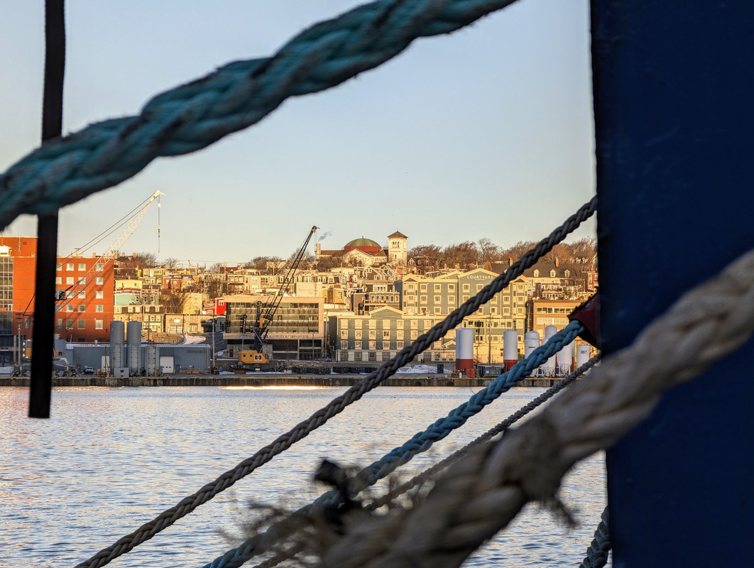
JAG performing arts centre thing under construction.
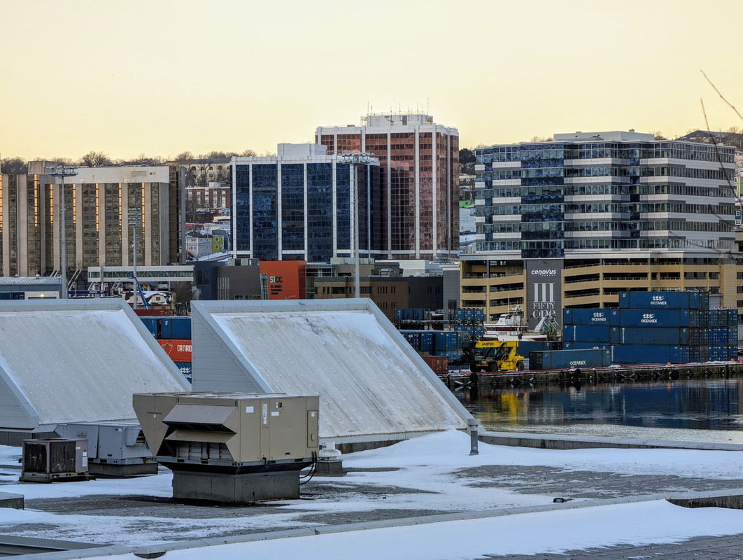
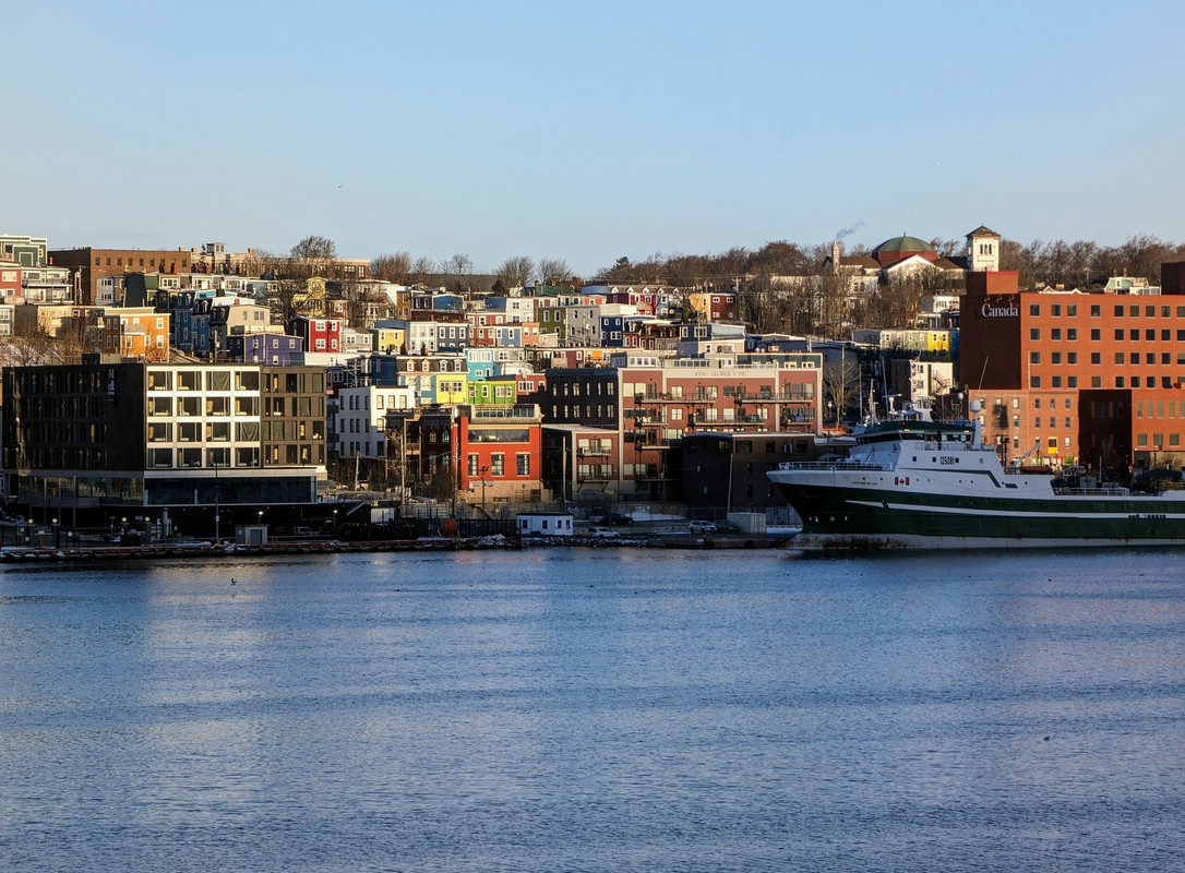
Delta, Cabot Place Complex, 351.
Heading out past the small boat basins to Cahill's Point and Fort Amherst, opposite of the Battery and Signal Hill.
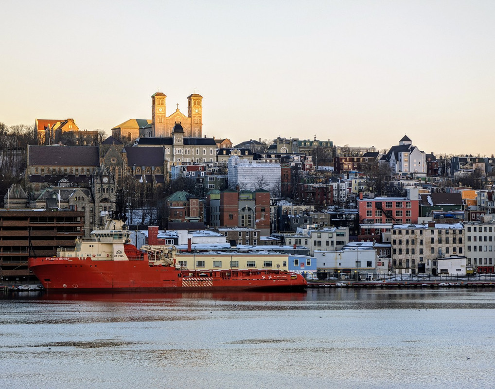
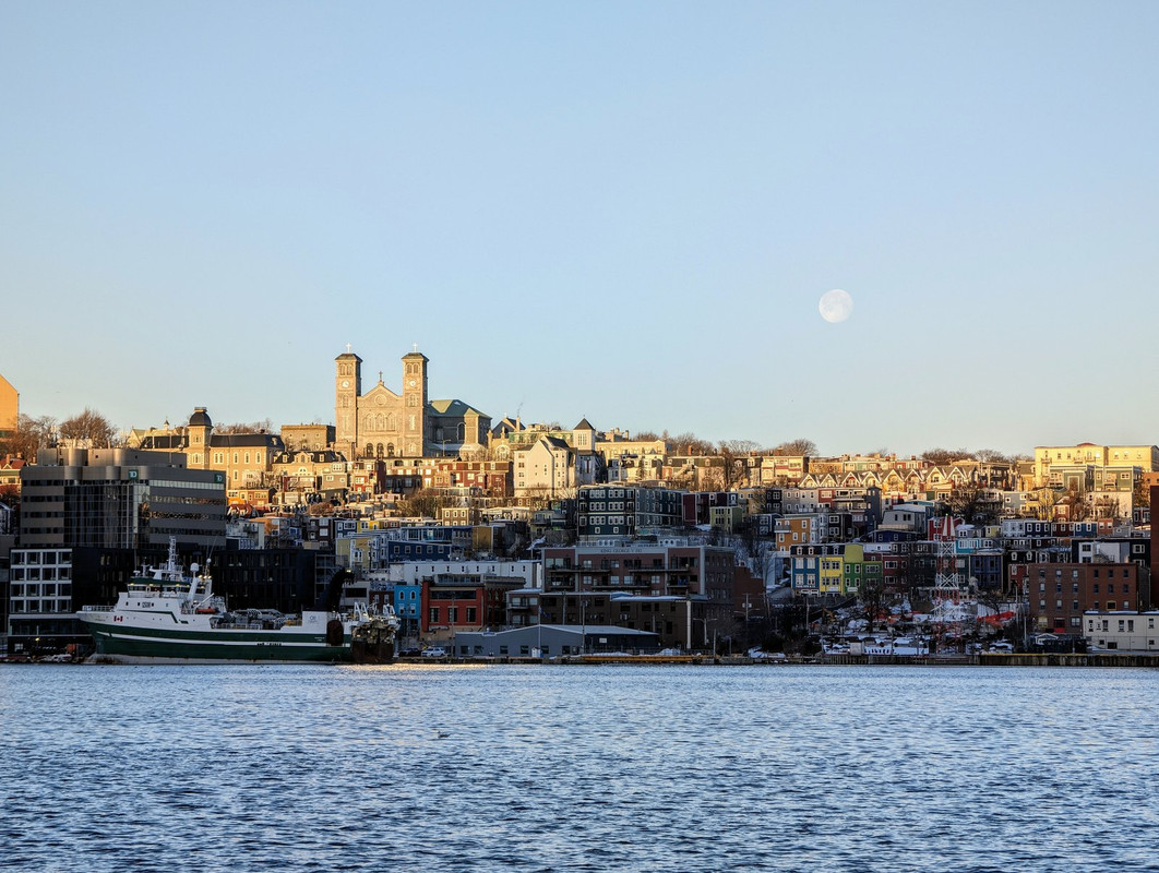
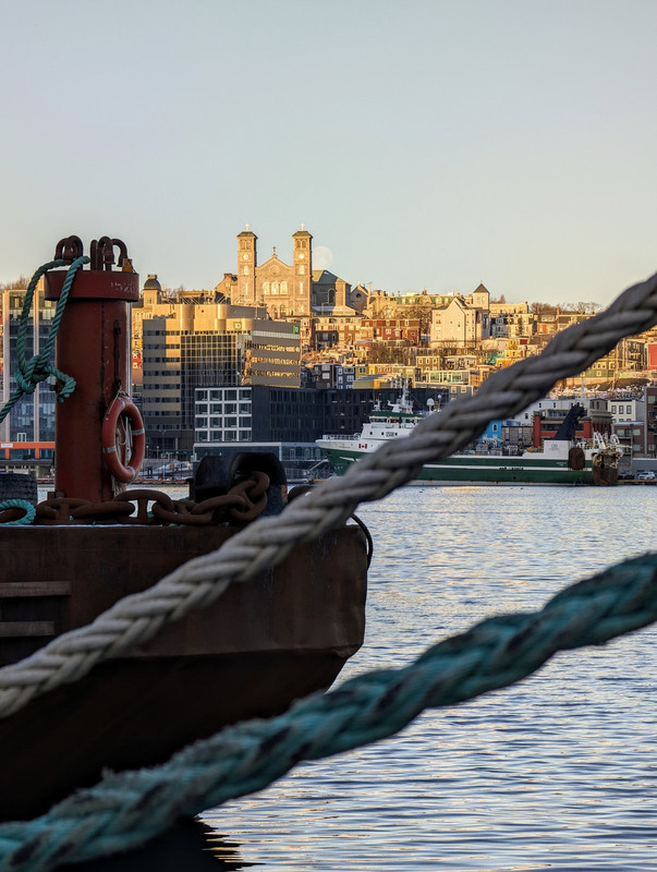
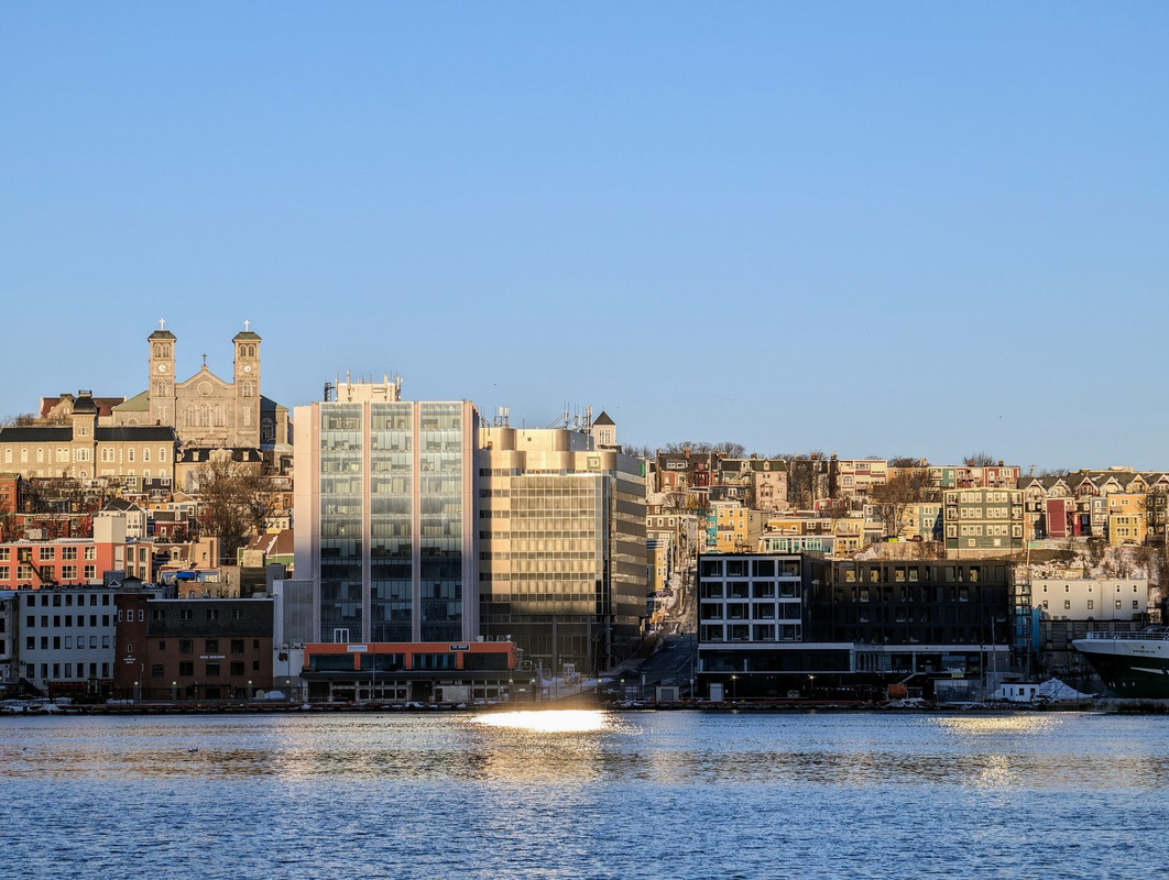
Supreme Court, Anglican Cathedral, Benevolent Irish Society, Roman Catholic Basilica.


 Prev
Prev


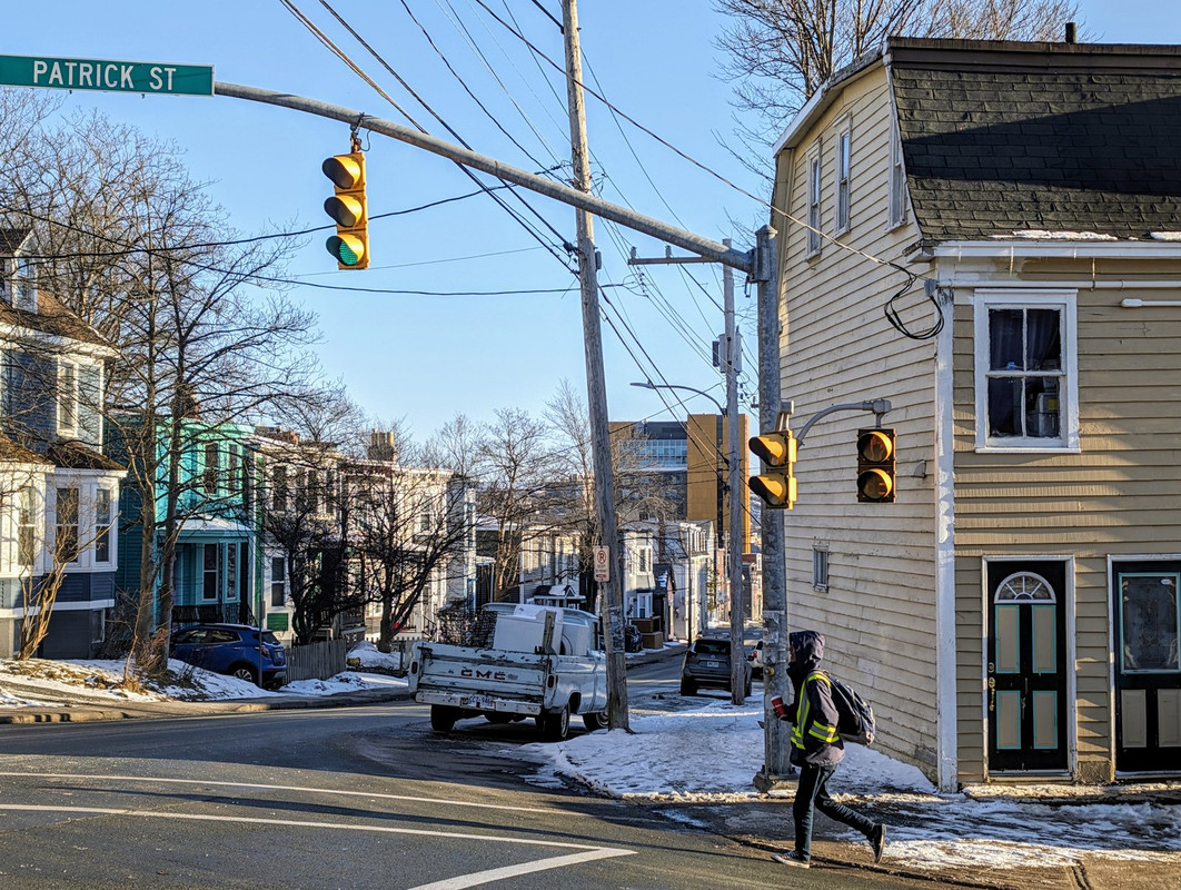
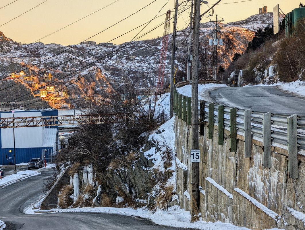
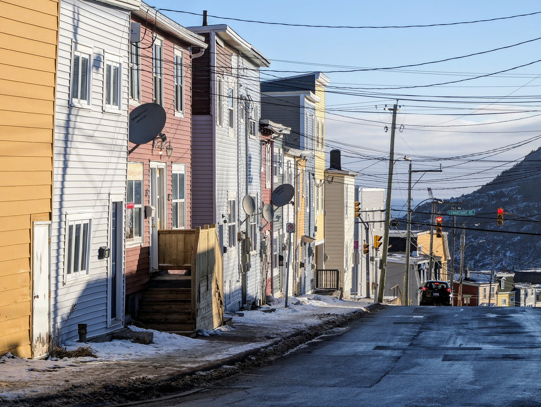
 Doesn't look wide here but it is, probably the equivalent of four lanes, but only painted for two.
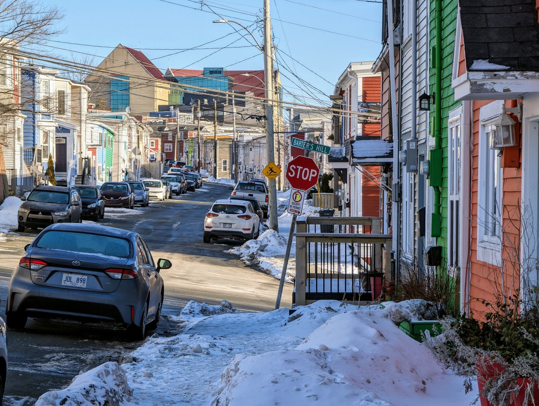


 Linear Mode
