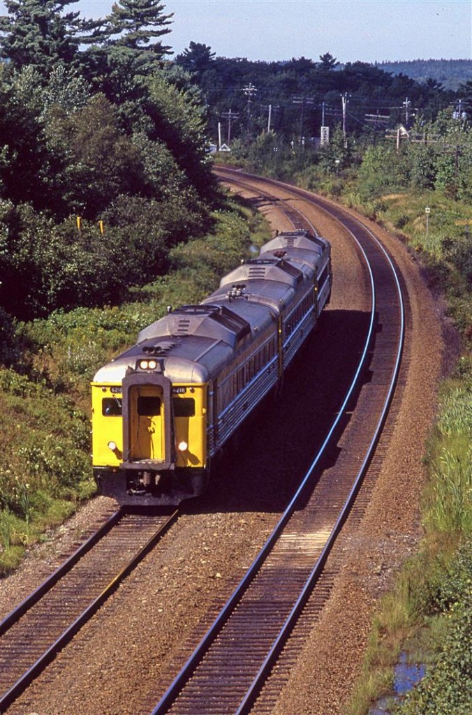
Having commuter/intercity rail go downtown wouldn't be that important if there was a fast, reliable urban rail service for it to connect to. I remember Someone123 once suggested that rail be included on the McKay's replacement which would allow it access to Hfx without going around the basin and without conflicts on the CN mainline. Sending the train downtown is more trouble than it's worth considering that the train station isn't at the most central part of downtown and doesn't get that great of bus connections. So not really worth going all the way around the S.end and dealing with freight conflicts.
The best option in my view is for the mainline rail station to be either at Young/Windsor which will hopefully continue its development as a 2nd downtown, or at Mumford which has great connections. I hate to say it, but considering how poor a connection the railcut represents and the not optimal location of the current train station, I think it should probably be turned into something else. Maybe a nice store or something.
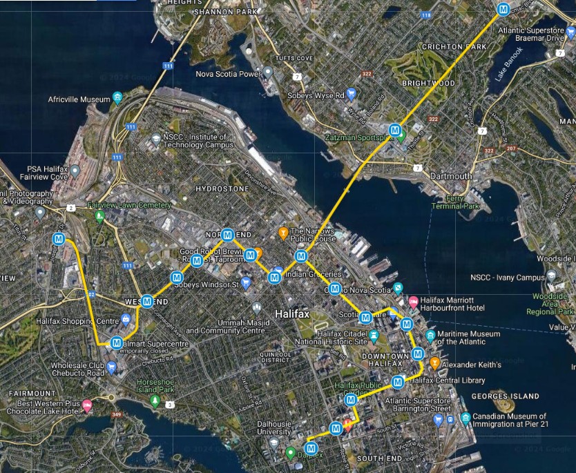
Here's a revised version of the LRT map I made awhile ago. There would be three services: Joe Howe to Dal via downtown, Joe Howe to Micmac via bridge, and Micmac to Dal via downtown. The stretch from the bridge terminal to Micmac would be a single-track bored tunnel which would allow service every 5 min per direction with each of the two services running every 10 min. The bridge would also be a reversible single track as would a tunnel for half of Gottingen from roughly Cunard to Cogswell. Then from Cogwell it would go down to Granville where Granville pedestrian mall would be extended to include all of Granville st and act as a trans corridor. The route would go underground at Maritime centre with a station being built into its base, and mall and would remain underground up SGR until emerging on the other side of S. Park st. It would run on the serface with full signal priority along Summer and University before ending at Dal. Route #1 would connect to the LRT at Dal before continuing to St. Mary's rather than going downtown since that service would be provided by the LRT.
The only other tunneled section would be between Gottingen and Robie where it would emerge and run on the surface in the median of a widened Robie St.
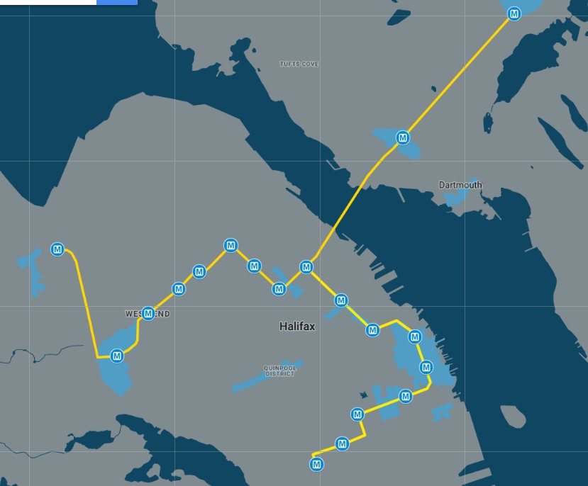
Below are images of the LRT route with and without streets.
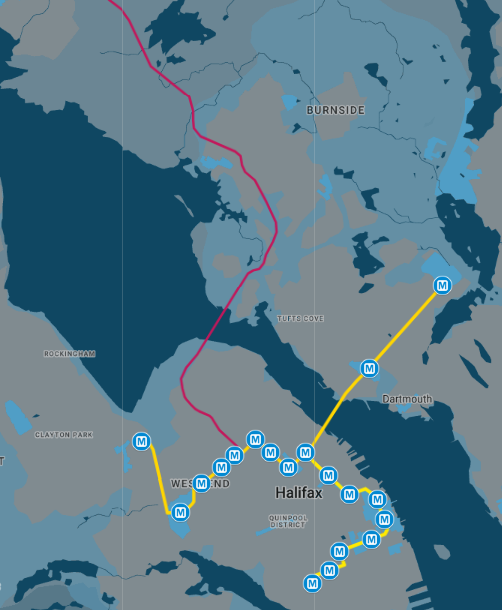
Here's the LRT with the intercity rail spur
The main difference between this and my prior LRT map is the tunnel to Micmac. Dartmouth just doesn't have the street grid or corridors to work well with surface LRT, but Micmac provides connections to a lot of different routes while the tunnel would offer a very fast express link into town. The BRT route in the map q12 posted would just be made into a crosstown route in Dartmouth as a single route from Portland Hills to Dartmouth Crossing providing xfer to ferry and LRT rather than crossing the bridge. Of the Haf routes, the Green one on Robie would be basically unchanged while the ones from Larry Uteck and Greystone would end at the LRT, perhaps one at Mumford and the other at Joe Howe.


 Prev
Prev


 Linear Mode
