Yep. And what's at this link jives with that, and what I've read elsewhere.
https://www.neighbourhoodguide.com/halton/burlington/freeman-village/
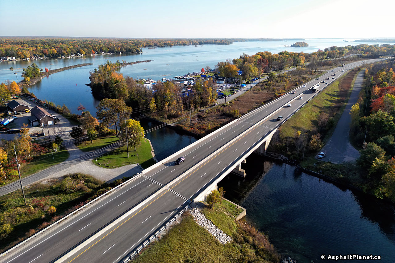
Originally the QEW followed the route of Plains Rd. right past that village.
https://www.thekingshighway.ca/PHOTOS/QEWphotos.htm
 "Aerial view of the Burlington Canadian National Railway (CNR) Subway on the Middle Road & Hwy 25 between Campbell's Corners and Freeman, facing east towards Toronto. This structure was built in 1936 over the widened dual highway. Note the end of the four-lane divided pavement just east of the subway, which was constructed under Contract #1936-73. In 1937, this divided concrete pavement was completed between Burlington (Freeman) and Port Credit. This CNR subway still stands today on a bypassed section of the highway (Plains Road) near the Mapleview Shopping Centre in Burlington. This section of Plains Road used to be a part of the Queen Elizabeth Way up until 1958, when a new diversion was opened to traffic which provided an improved link to the new Burlington Skyway. Photo taken in 1936."
Further down that webpage there's a photo of the original interchange that connected that part of the QEW to the section leading to the Skyway and the highway through Niagara.
 "Aerial view of the New Niagara Falls Highway Junction on the Middle Road & Hwy 25 near Burlington in 1937, facing northeast. Constructed in 1936, the Burlington Interchange was actually Ontario's first grade-separated highway interchange. This "trumpet" interchange was fully opened to traffic in the summer of 1937, several months prior to the completion of the more famous Port Credit Cloverleaf west of Toronto. In the late 1950s, the Queen Elizabeth Way was realigned onto a new diversion around the community of Freeman. The present day location of the Freeman Interchange (Junction of QEW, Hwy 403 & Hwy 407 ETR) can be found at the extreme upper left corner of this photo. The present day location of the Burlington IKEA store can be found where the farm is situated in the bottom left corner, while the Mapleview Shopping Centre is located in the upper right corner of this photo. The old interchange was taken out of service gradually starting in 1958. The last remnants of the old Burlington Interchange were demolished to make way for the construction of the new Fairview Street Interchange in 1984. Note the incredibly low traffic volumes on the highway during the 1930s! Photo taken in 1937."
https://www.thekingshighway.ca/
"Aerial view of the New Niagara Falls Highway Junction on the Middle Road & Hwy 25 near Burlington in 1937, facing northeast. Constructed in 1936, the Burlington Interchange was actually Ontario's first grade-separated highway interchange. This "trumpet" interchange was fully opened to traffic in the summer of 1937, several months prior to the completion of the more famous Port Credit Cloverleaf west of Toronto. In the late 1950s, the Queen Elizabeth Way was realigned onto a new diversion around the community of Freeman. The present day location of the Freeman Interchange (Junction of QEW, Hwy 403 & Hwy 407 ETR) can be found at the extreme upper left corner of this photo. The present day location of the Burlington IKEA store can be found where the farm is situated in the bottom left corner, while the Mapleview Shopping Centre is located in the upper right corner of this photo. The old interchange was taken out of service gradually starting in 1958. The last remnants of the old Burlington Interchange were demolished to make way for the construction of the new Fairview Street Interchange in 1984. Note the incredibly low traffic volumes on the highway during the 1930s! Photo taken in 1937."
https://www.thekingshighway.ca/ is an
excellent history of Ontario highways, with many many MANY photos. I've spent a lot of time perusing it!


 Prev
Prev


 Linear Mode
