HomeDiagramsDatabaseMapsForum About
     

Go Back   SkyscraperPage Forum > Regional Sections > United States > Southeast > Atlanta


Reply

 
Thread Tools Display Modes
     
     
  #1341  
Old Posted Jun 1, 2022, 7:58 PM
smArTaLlone smArTaLlone is offline
Registered User
 
Join Date: Feb 2005
Posts: 8,809
Northeast Trail Second Phase Breaks Ground between Piedmont Park and I-85

Reply With Quote
     
     
  #1342  
Old Posted Jul 25, 2022, 3:00 PM
Julien Julien is offline
Registered User
 
Join Date: Apr 2021
Location: ATL/Atlantic Station
Posts: 1,104
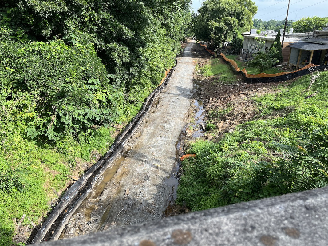
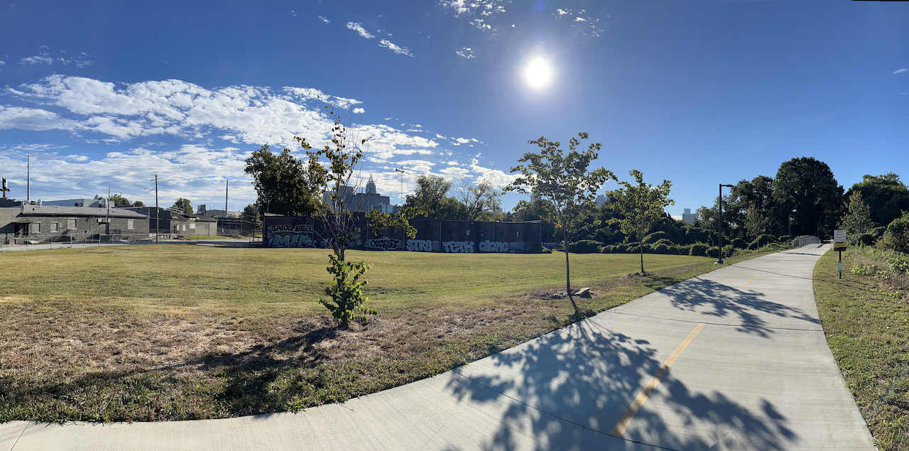
A little North East Beltline action.

Reply With Quote
     
     
  #1343  
Old Posted Jul 25, 2022, 10:26 PM
bigstick's Avatar
bigstick bigstick is offline
Registered User
 
Join Date: Mar 2012
Location: 30327
Posts: 1,980
Quote:
Originally Posted by Julien View Post
A little North East Beltline action.

Where is this located? I know the area, just cannot place this? Thanks
Reply With Quote
     
     
  #1344  
Old Posted Jul 25, 2022, 10:33 PM
Julien Julien is offline
Registered User
 
Join Date: Apr 2021
Location: ATL/Atlantic Station
Posts: 1,104
Quote:
Originally Posted by bigstick View Post
Where is this located? I know the area, just cannot place this? Thanks
Piedmont Ave bridge (about 200M SSW of Monroe Dr.) looking NNW with Piedmont Park directly behind me.
Reply With Quote
     
     
  #1345  
Old Posted Jul 26, 2022, 12:15 AM
bigstick's Avatar
bigstick bigstick is offline
Registered User
 
Join Date: Mar 2012
Location: 30327
Posts: 1,980
Quote:
Originally Posted by Julien View Post
Piedmont Ave bridge (about 200M SSW of Monroe Dr.) looking NNW with Piedmont Park directly behind me.
yes sir,,,Thanks
Reply With Quote
     
     
  #1346  
Old Posted Aug 31, 2022, 6:21 PM
smArTaLlone smArTaLlone is offline
Registered User
 
Join Date: Feb 2005
Posts: 8,809
Atlanta BeltLine Northwest Trail Prioritized Alignments Announced

Reply With Quote
     
     
  #1347  
Old Posted Sep 14, 2022, 5:24 PM
GeorgiaPeanuts GeorgiaPeanuts is offline
Registered User
 
Join Date: Sep 2014
Posts: 1,637
I wonder how the hell transit will fit along this route especially between 85 and 75. I feel like they'd have to have transit go a separate route from the walking path. I could see transit splitting off and going down Deering Rd and then turning onto Peachtree Rd and reconnecting with the trail after passing Piedmont hospital.
Reply With Quote
     
     
  #1348  
Old Posted Sep 14, 2022, 5:47 PM
L.ARCH L.ARCH is offline
Registered User
 
Join Date: Jul 2006
Posts: 622
I don't foresee transit along this route either. Would be much cheaper and simpler to follow the train tracks behind Piedmont Hospital and link up with the beltline trail over on the Westside.
Reply With Quote
     
     
  #1349  
Old Posted Sep 14, 2022, 8:07 PM
3yonce 3yonce is offline
Registered User
 
Join Date: Feb 2017
Posts: 261
Quote:
Originally Posted by L.ARCH View Post
I don't foresee transit along this route either. Would be much cheaper and simpler to follow the train tracks behind Piedmont Hospital and link up with the beltline trail over on the Westside.
I believe that this is just the route for the trail itself, and the light rail would in fact follow the existing rail line. I'm not sure if the reason for the divergence is just that there is still active traffic on the rail line or if there are other factors, but last I heard, the rail (whenever that happens) will use that right of way.
Reply With Quote
     
     
  #1350  
Old Posted Oct 20, 2022, 9:12 PM
Julien Julien is offline
Registered User
 
Join Date: Apr 2021
Location: ATL/Atlantic Station
Posts: 1,104
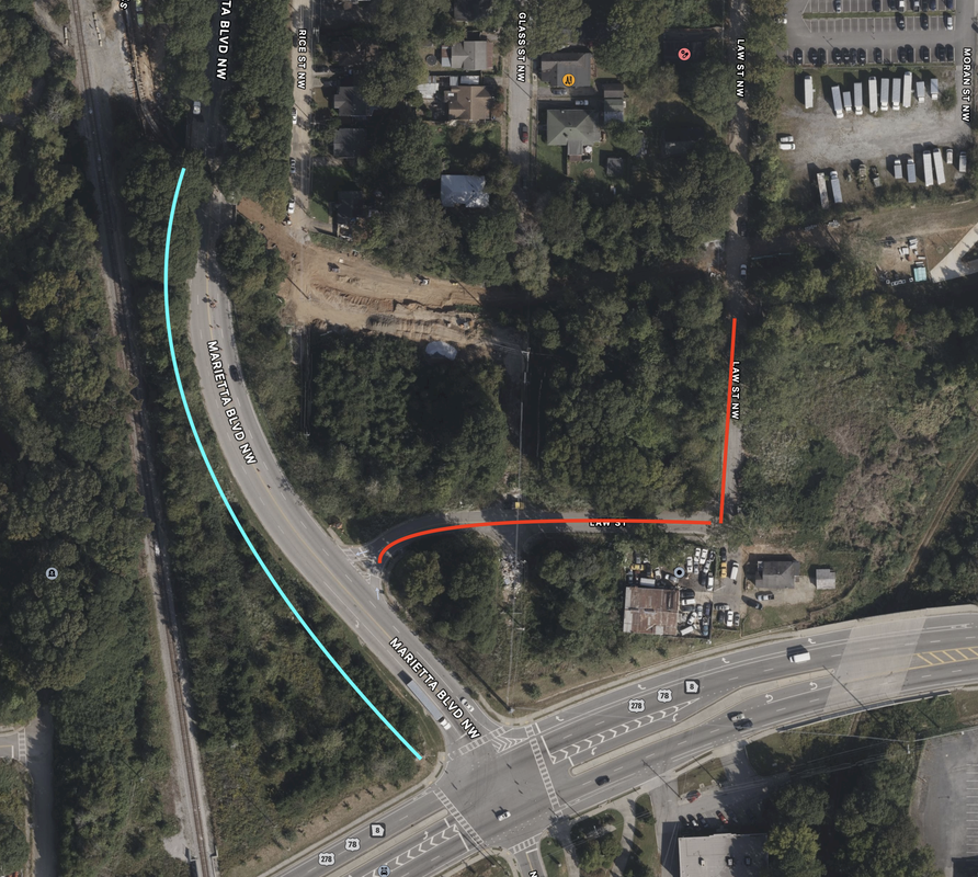
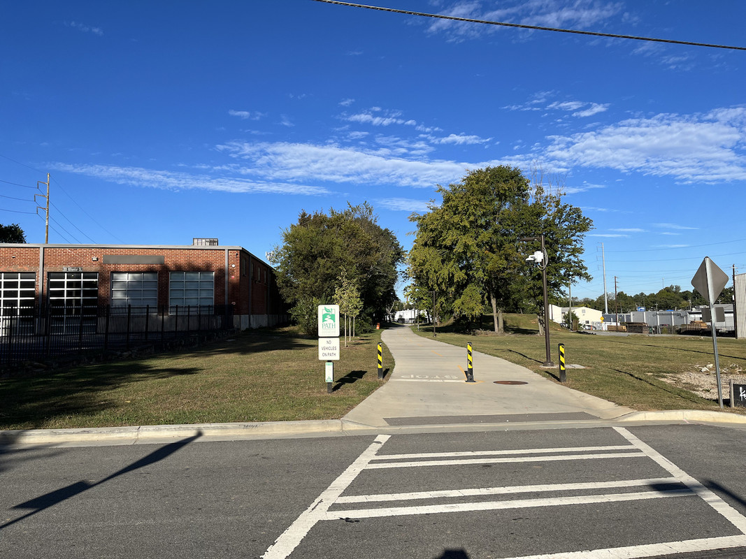
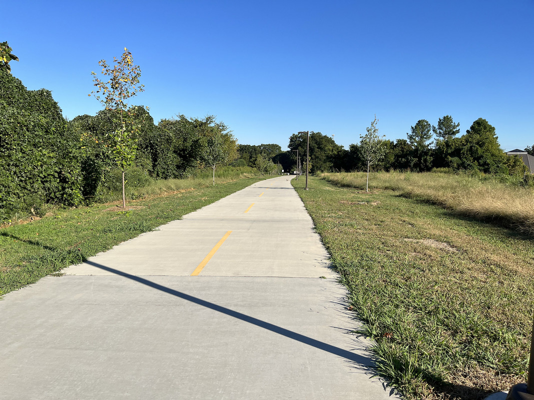
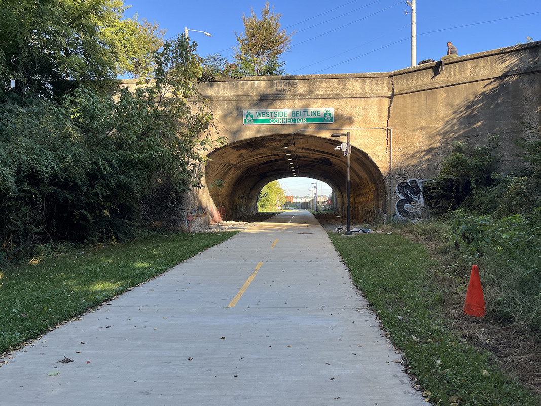
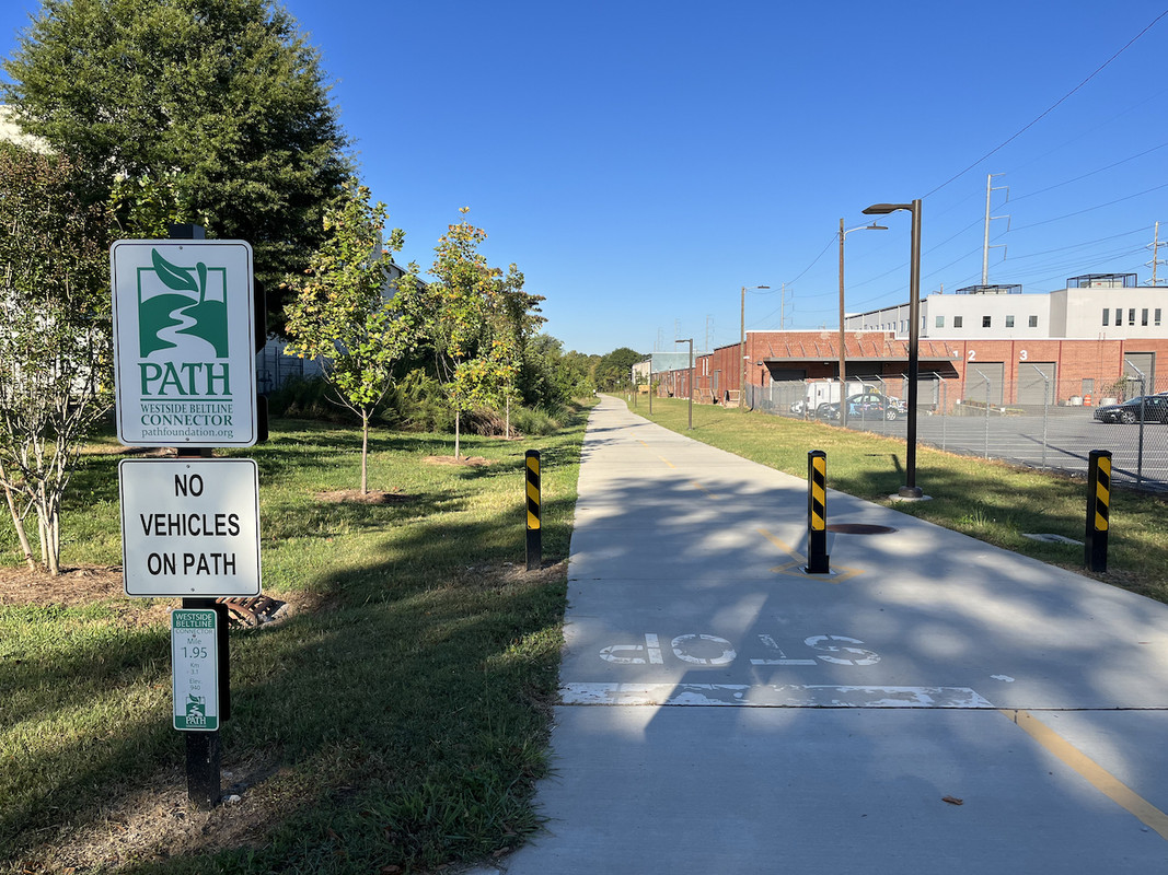
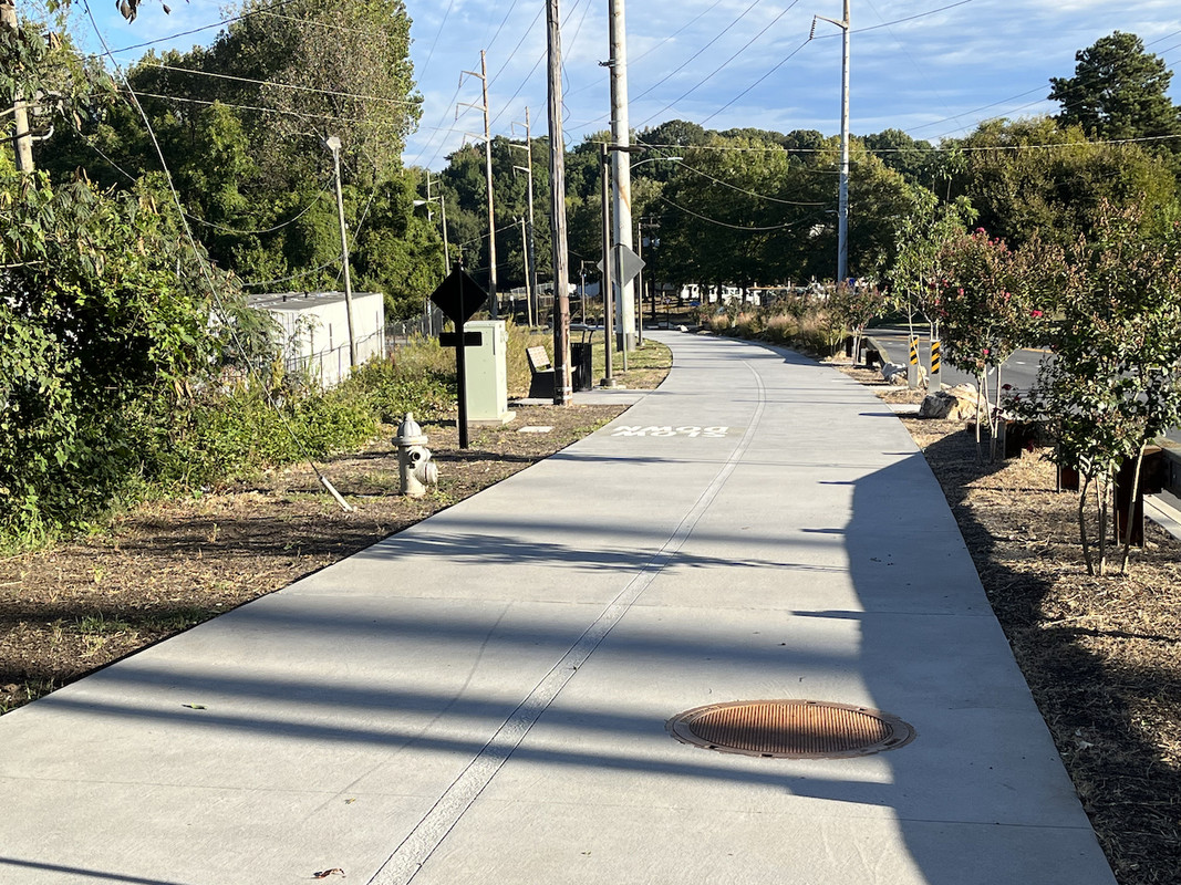
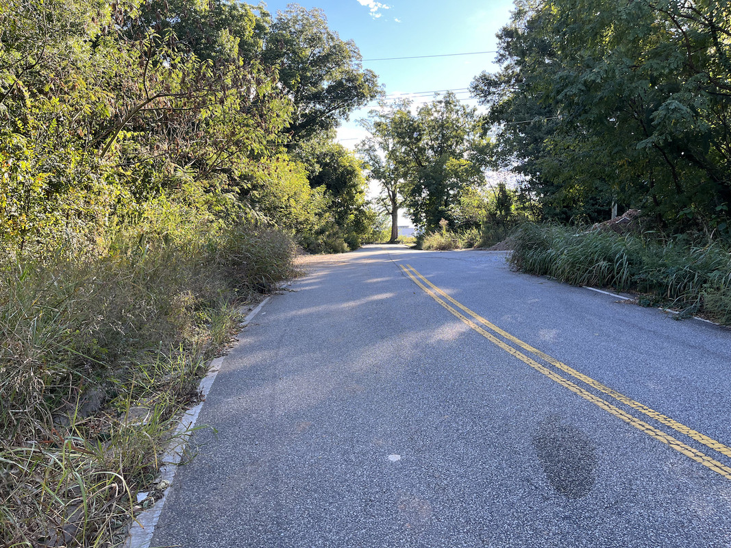
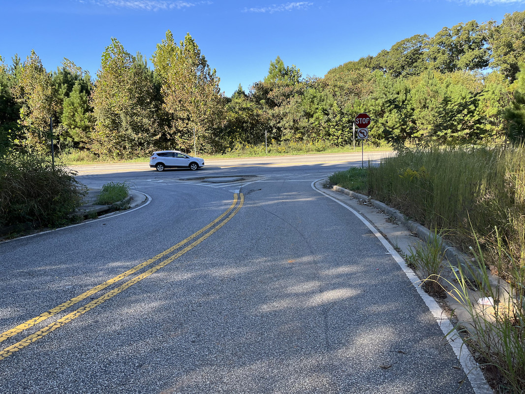
Some Westside Beltline news. The West section from Huff Rd south down Marietta Blvd, and connecting to the Westside Connector trial were opened today by the mayor. The Westside Beltline Connector that goes to near Mercedes Stadium. However the Westside Beltline ends at the Connector and is MIA to Northside (blue line). This still leave NO access to Westside Park. The only way to get there is to exit the Connector at Law St (my red line). This is sketchy and no sidewalks. I have tried all ways including running down Marietta St which is a death wish and will never repeat. This is a travesty that there is no connection yet.

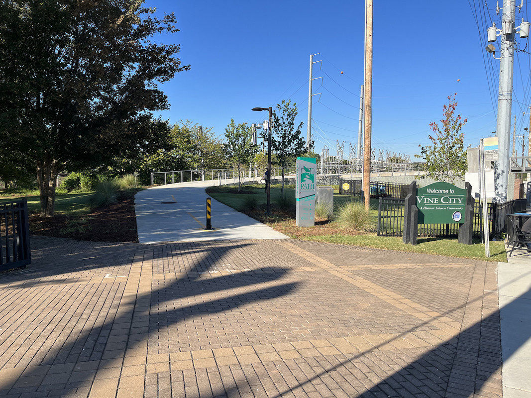
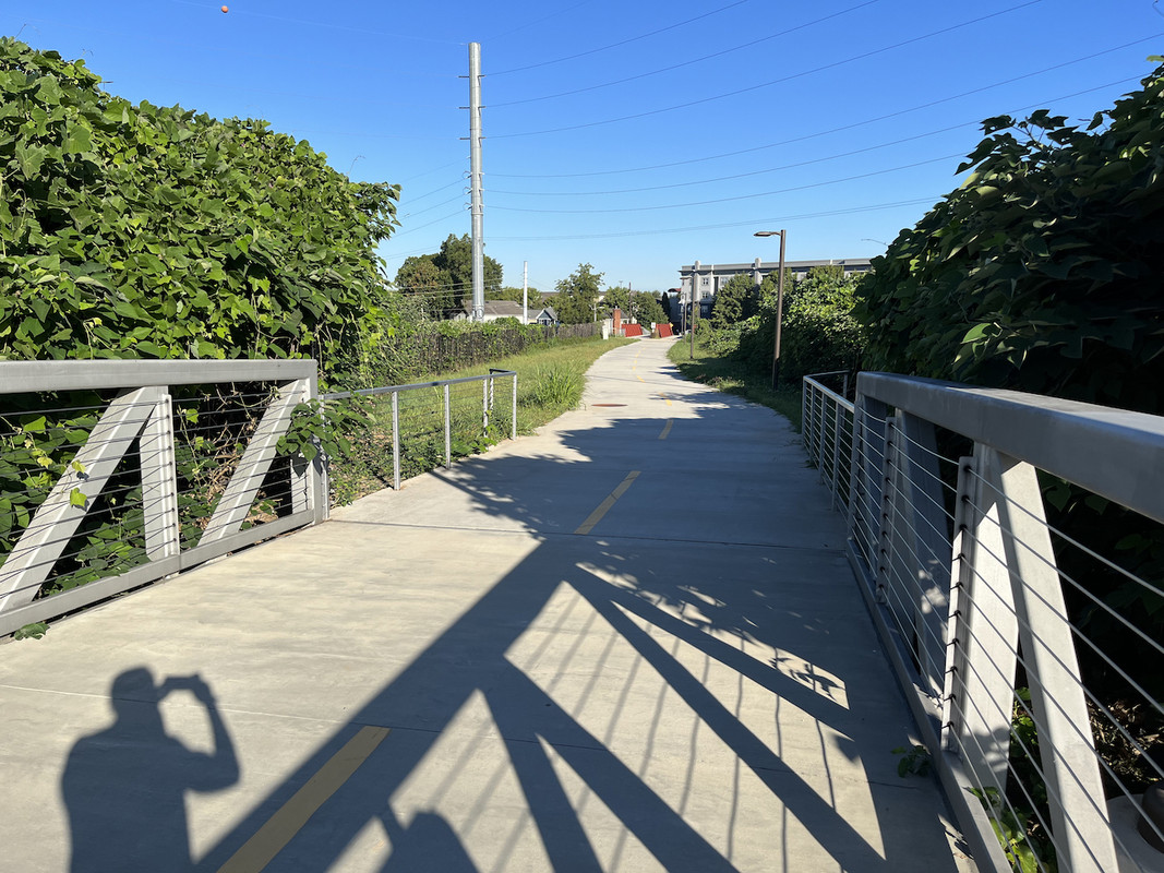
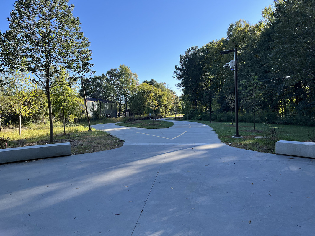
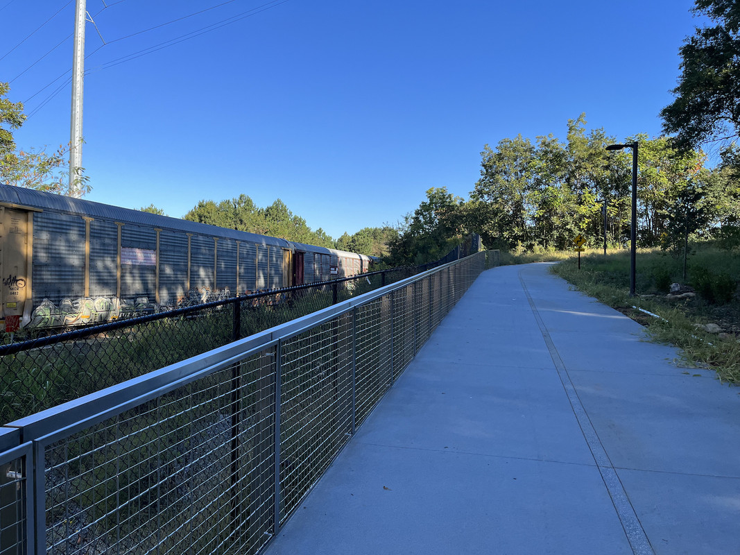
Anyway the Connector is really nice with full lighting and security cameras. Here are some pics of the new Connector and couple of the new Westside.


Westside Connector


On the Westside looking south and the Connector veers to right. Straight ahead is where the Westside needs to continue.


Westside
Reply With Quote
     
     
  #1351  
Old Posted Oct 20, 2022, 9:16 PM
Julien Julien is offline
Registered User
 
Join Date: Apr 2021
Location: ATL/Atlantic Station
Posts: 1,104
Here is Law St in case anyone doubts it is sketchy.


Reply With Quote
     
     
  #1352  
Old Posted Oct 21, 2022, 12:43 PM
shivtim's Avatar
shivtim shivtim is offline
Registered User
 
Join Date: Aug 2008
Location: Midtown Atlanta
Posts: 2,623
Thanks for the photo update! This fills a big piece of the Beltline puzzle, and I agree they need to prioritize building the connection into the Quarry park. If they do that, you'd be able to bike in a protected cycle track from the end of the Proctor Creek trail all the way Candler Park.
Reply With Quote
     
     
  #1353  
Old Posted Oct 21, 2022, 4:26 PM
montydawg montydawg is offline
Registered User
 
Join Date: May 2016
Location: NYC
Posts: 911
Quote:
Originally Posted by shivtim View Post
Thanks for the photo update! This fills a big piece of the Beltline puzzle, and I agree they need to prioritize building the connection into the Quarry park. If they do that, you'd be able to bike in a protected cycle track from the end of the Proctor Creek trail all the way Candler Park.
There are several developments in that corridor which will facilitate connections to the park. The BeltLine has been really smart about getting private developers to build small segments, and for the most part, those segments have been well integrated with the trail. I believe they are waiting to see how to leverage developers in this area to make connections
Reply With Quote
     
     
  #1354  
Old Posted Oct 23, 2022, 9:36 AM
bryantm3 bryantm3 is offline
Registered User
 
Join Date: Feb 2012
Location: East Point
Posts: 838
I think it's be pretty cool if they built a replica of the bridge in Piedmont Park, going west from Jefferson Street, over the tracks and into the park.
Reply With Quote
     
     
  #1355  
Old Posted Oct 24, 2022, 6:00 PM
Julien Julien is offline
Registered User
 
Join Date: Apr 2021
Location: ATL/Atlantic Station
Posts: 1,104
Quote:
Originally Posted by bryantm3 View Post
I think it's be pretty cool if they built a replica of the bridge in Piedmont Park, going west from Jefferson Street, over the tracks and into the park.
I would like to see a ped/bike connection to the south at the Bankhead Station trail connector and a connection entrance on the north. On the north they only need to go to Lois St. It is technically a City of ATL employee entrance (for vehicles) but could allow ped/bikes to use to get into the park.

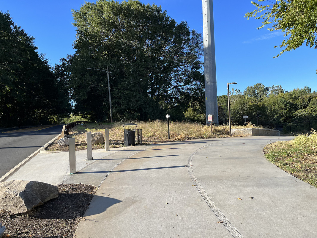
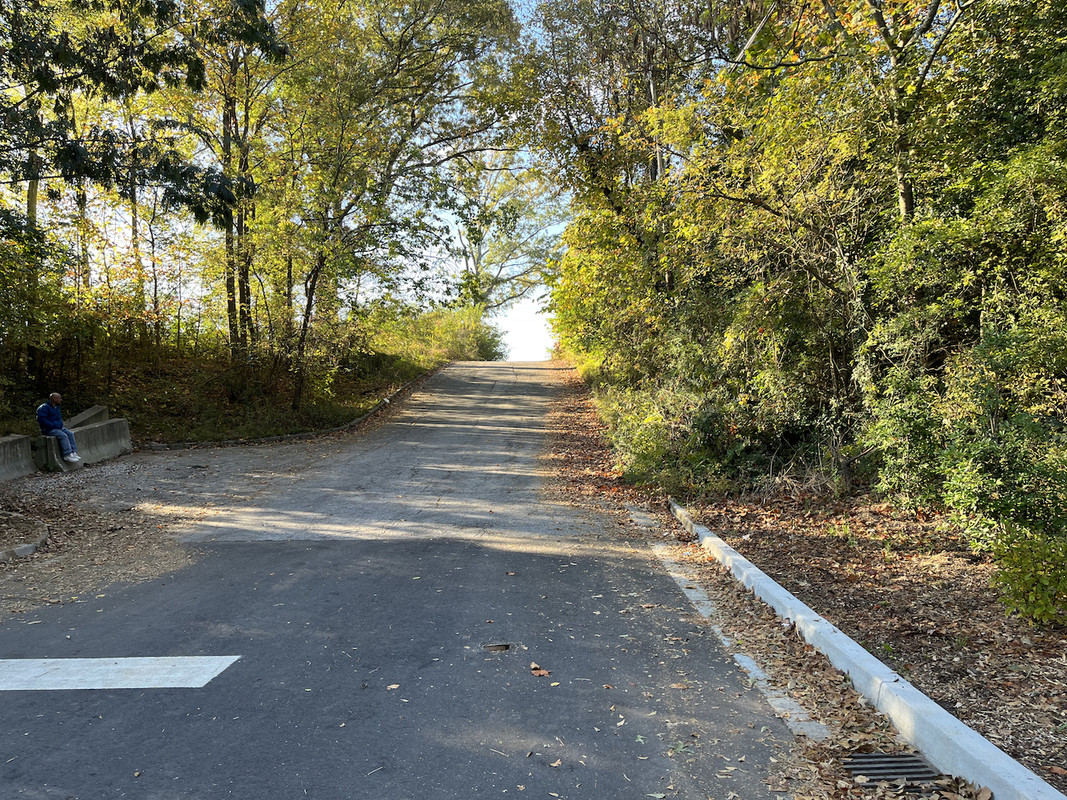
Here is Law St from the Connector trail.

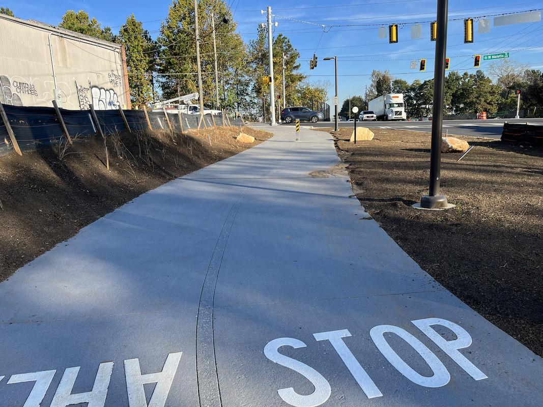
Here is coming up to the Marietta St/Marietta Blvd crossing and they now have a detected ped/bike crossing light (all traffic red).

Here is crossing the train tracks bridge on Merretta Blvd. Of course it ends a Huff St for now.
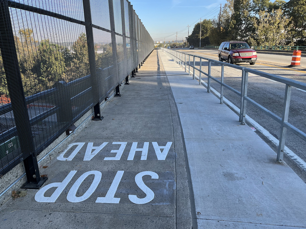

This is an enigma. Noticed straight across from Marietta Blvd/Northside is on North Ave. It looked like the Westside Connector and thought why has this not been announced. So I ran up it and 100' and this is what happens.

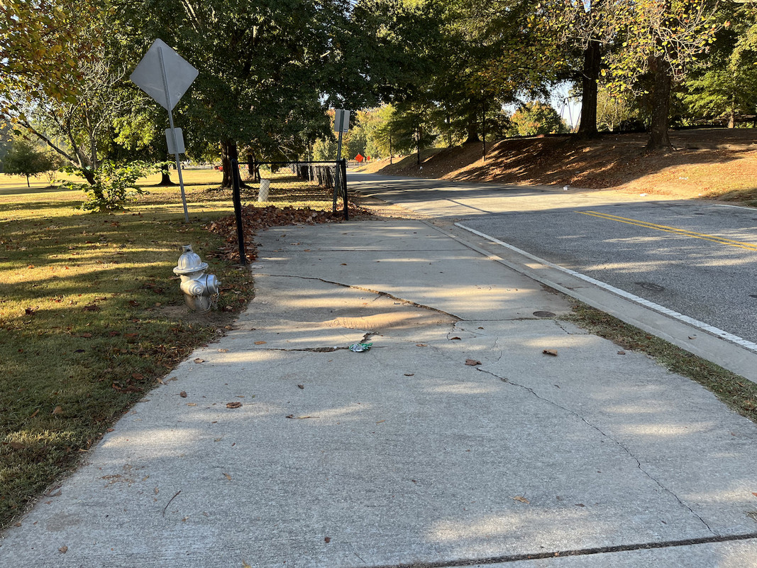
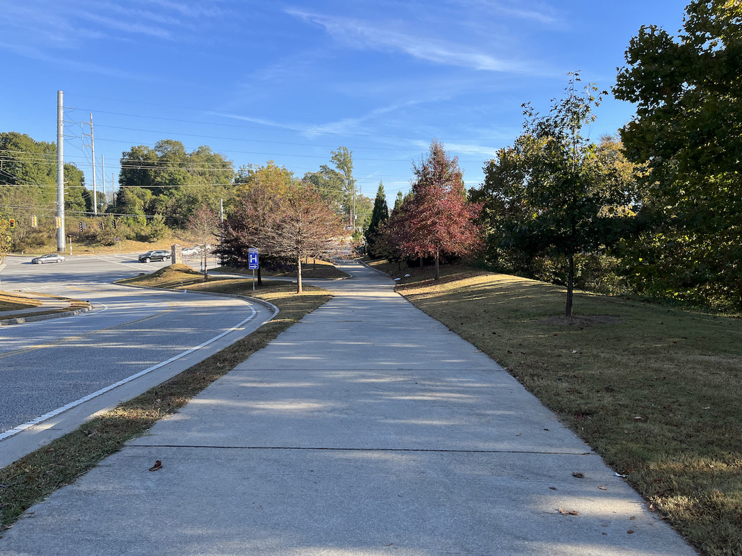
Here is when I turn around looking back to Northside. You can see how "Beltline" like the short as hell sidewalk to NOWHERE is. What happened and was was this supposed to be? Will the Beltline eventually connect here?
Reply With Quote
     
     
  #1356  
Old Posted Oct 24, 2022, 7:10 PM
trainiac's Avatar
trainiac trainiac is offline
Registered User
 
Join Date: Feb 2006
Location: Atlanta - Grove Park
Posts: 1,064
Quote:
Originally Posted by Julien View Post
Here is crossing the train tracks bridge on Merretta Blvd. Of course it ends a Huff St for now.

This turned out so good. For anybody not familiar with how it used to look... that sidewalk was only the skinny portion on the left. It was super-scary to walk on with the amount of semi traffic on the bridge. The new section to the right contains all the normal Beltline utilities inside -- really turned out nice. The railing makes a huge difference. Just south of there, they got rid of the old slip lane going south. All-in-all I'm impressed.

I can't wait until there's a nice connection from the Proctor Greenway to the Westside Connector. Gonna be a gamechanger
__________________
Atlanta history blog
Reply With Quote
     
     
  #1357  
Old Posted Oct 24, 2022, 8:06 PM
Julien Julien is offline
Registered User
 
Join Date: Apr 2021
Location: ATL/Atlantic Station
Posts: 1,104
Quote:
Originally Posted by trainiac View Post
This turned out so good. For anybody not familiar with how it used to look... that sidewalk was only the skinny portion on the left. It was super-scary to walk on with the amount of semi traffic on the bridge....
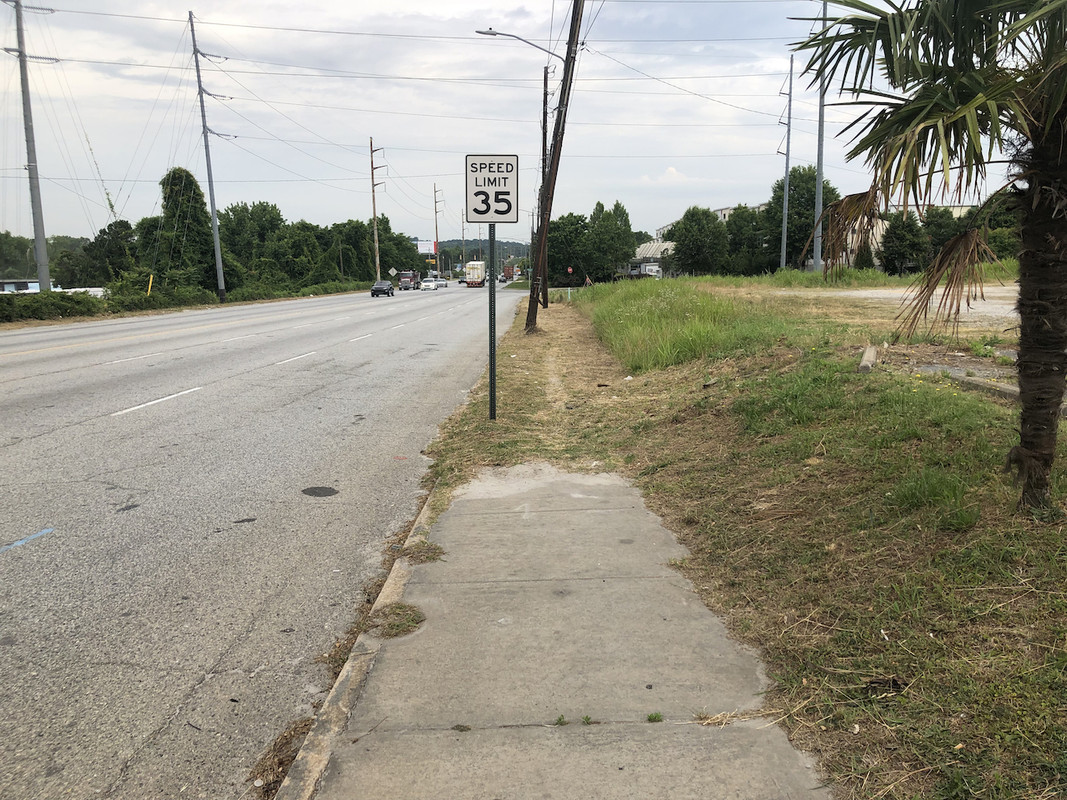
[OT RANT]Marietta Blvd (to the north) RANT. It is a horrid dilapidated monstrosity of a strode. It is years past needing resurfacing and has marginal to poor lane lines. It is frequented by a lot of commercial trucks and is now being gentrified with retail. Traffic speed is high probably averaging >50MPH. At the best spots it has VERY poor and narrow sidewalks literally inches from 50MPH semis. And where there is a sidewalk it often ends for no reason. The ped crossings are few and dangerous. It needs a lot of attention.

Reply With Quote
     
     
  #1358  
Old Posted Oct 24, 2022, 10:04 PM
Street Advocate Street Advocate is offline
Registered User
 
Join Date: Oct 2015
Posts: 3,717
Reply With Quote
     
     
  #1359  
Old Posted Oct 25, 2022, 2:26 AM
bryantm3 bryantm3 is offline
Registered User
 
Join Date: Feb 2012
Location: East Point
Posts: 838
Quote:
Originally Posted by Street Advocate View Post
I love the plan but I don't see any connection to westside park in there
Reply With Quote
     
     
  #1360  
Old Posted Oct 25, 2022, 11:14 AM
Julien Julien is offline
Registered User
 
Join Date: Apr 2021
Location: ATL/Atlantic Station
Posts: 1,104
Quote:
Originally Posted by Street Advocate View Post
@Julien, this is how it will connect.
I have read through it a couple of times and I see no mention of Westside Park or any connections. Can you please post more specify the Westside Park connection info. All I can see that is slightly relevant is Segment 4 which is still in the design phase and won't continue down Marietta. I suspected that the bridge isn't wide enough and in this Design Plan it appears to bypass it. Exactly where it will cross Northside is ambiguous. Here are pics (Apple Maps) from the South and to the North of the approximate location. Without detailed plan it is had to tell.

BUT what I can't tell (and want to know) is ANY Westside Park connection(s). On the south (Northside) you could go down that narrow sidewalk (see pic 2 for how it looks) and cross that poorly done strode/Marietta Blvd intersection. I got cut off and could have been hit if a few seconds earlier by a truck turning right onto Northside. It is NOWHERE near up to PATH/Beltline standard for a connection. Then you have to continue and cross at the Bankhead MARTA intersection which is an OK intersection but still sub standard PATH/Beltline.


Last edited by Julien; Oct 25, 2022 at 11:44 AM.
Reply With Quote
     
     
This discussion thread continues

Use the page links to the lower-right to go to the next page for additional posts
 
 
Reply

Go Back   SkyscraperPage Forum > Regional Sections > United States > Southeast > Atlanta
Forum Jump


Forum Jump


All times are GMT. The time now is 10:32 PM.

     
SkyscraperPage.com - Privacy Statement - Top

Powered by vBulletin® Version 3.8.7
Copyright ©2000 - 2026, vBulletin Solutions, Inc.