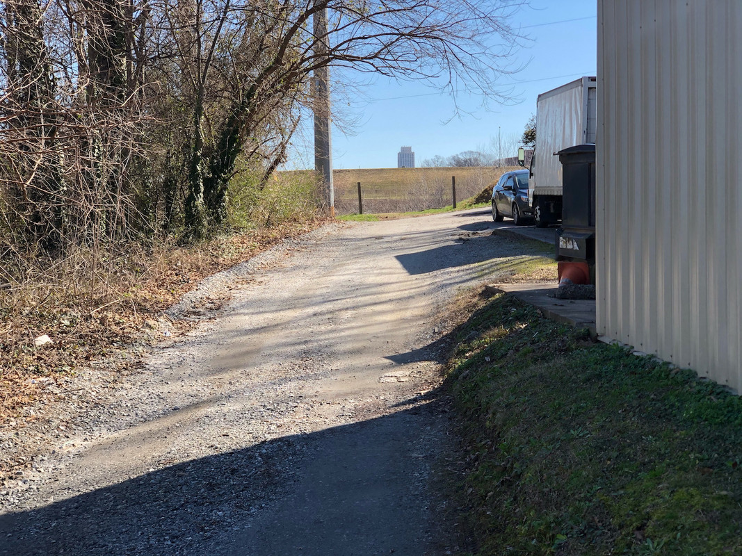
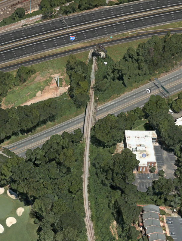
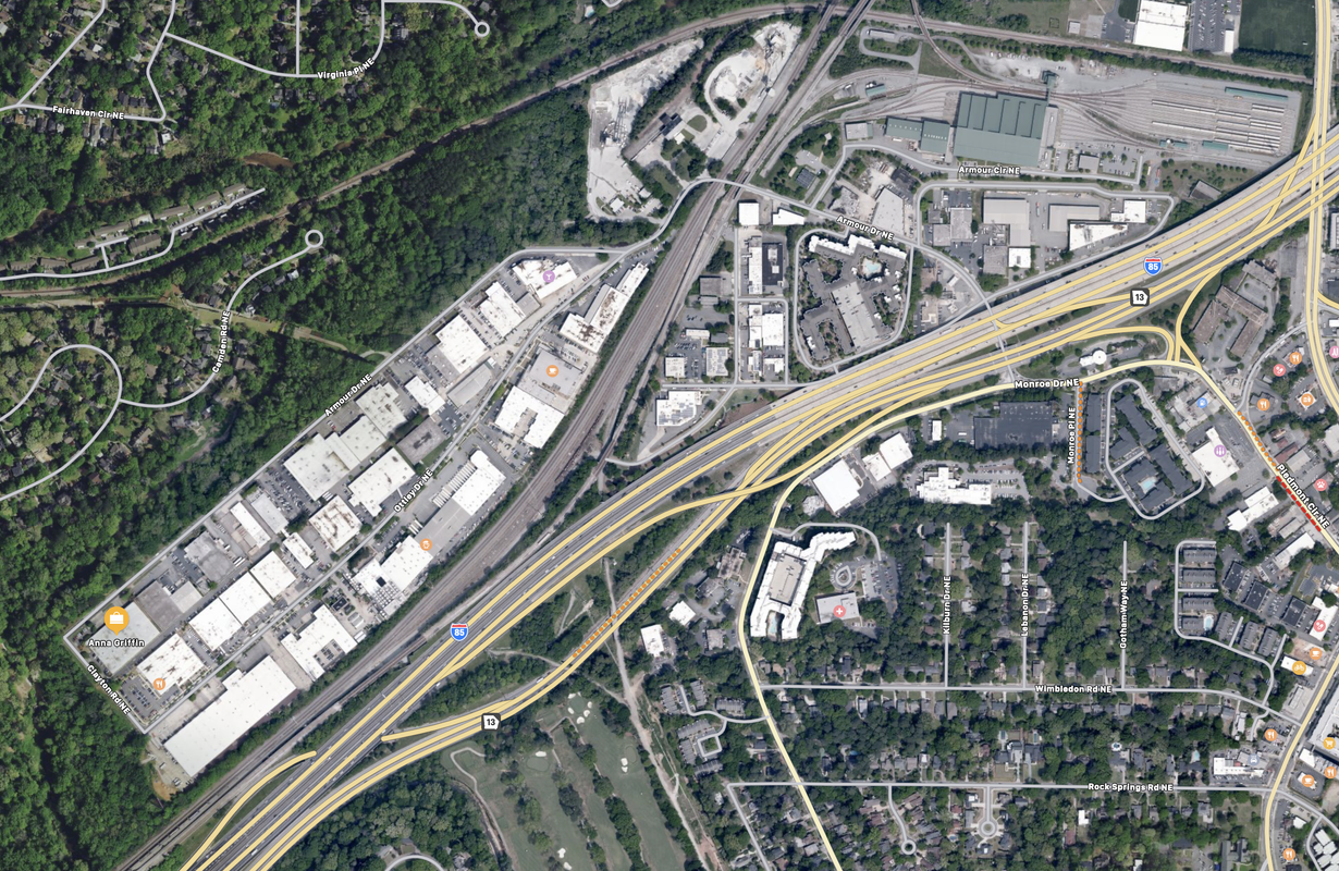
I walked it yesterday, and it does connect. The gravel path goes over the Buford Hwy connector and under 75/85 (some awesome art in the tunnels) and connects to Mason Street. There's not really anywhere to go from there though - it's a weird little light industrial area sandwiched inbetween 75/85, active rail, and MARTA's armour yards facility. The only option is to follow Plasters ave up to Armour Drive.
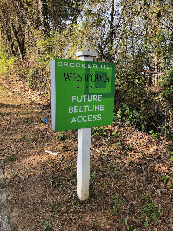
Even though it's not open, you can access the paved part of the trail via the new ramp from Montgomery Ferry. There's a fence that people have pushed back slightly, and you can very easily walk around it. Might be a bit harder to fit a bike through there.
I walked it yesterday, and it does connect. The gravel path goes over the Buford Hwy connector and under 75/85 (some awesome art in the tunnels) and connects to Mason Street. There's not really anywhere to go from there though - it's a weird little light industrial area sandwiched inbetween 75/85, active rail, and MARTA's armour yards facility. The only option is to follow Plasters ave up to Armour Drive.
Even though it's not open, you can access the paved part of the trail via the new ramp from Montgomery Ferry. There's a fence that people have pushed back slightly, and you can very easily walk around it. Might be a bit harder to fit a bike through there.
That quirky area over there was my work home for 11 years...1986 through 1997. That was the former location of Law Engineering's Atlanta Branch where I went from staff engineer to Principal Engineer over that span. Law Engineering occupied three buildings on Plasters Ave and Mayson Street back then.
__________________
Maybe Martians could do better than we've done
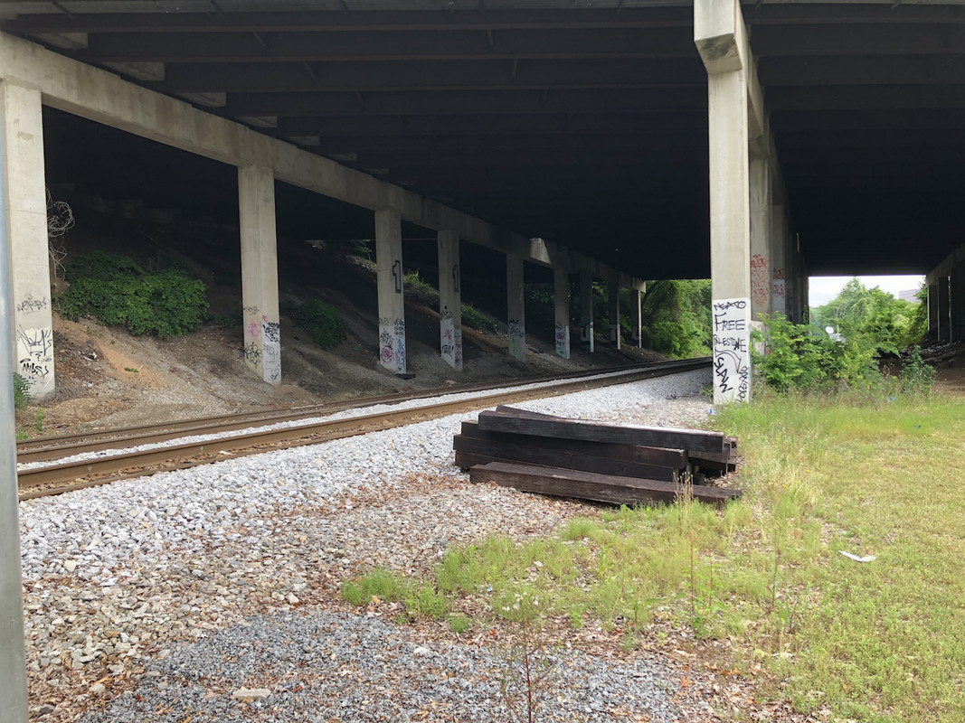
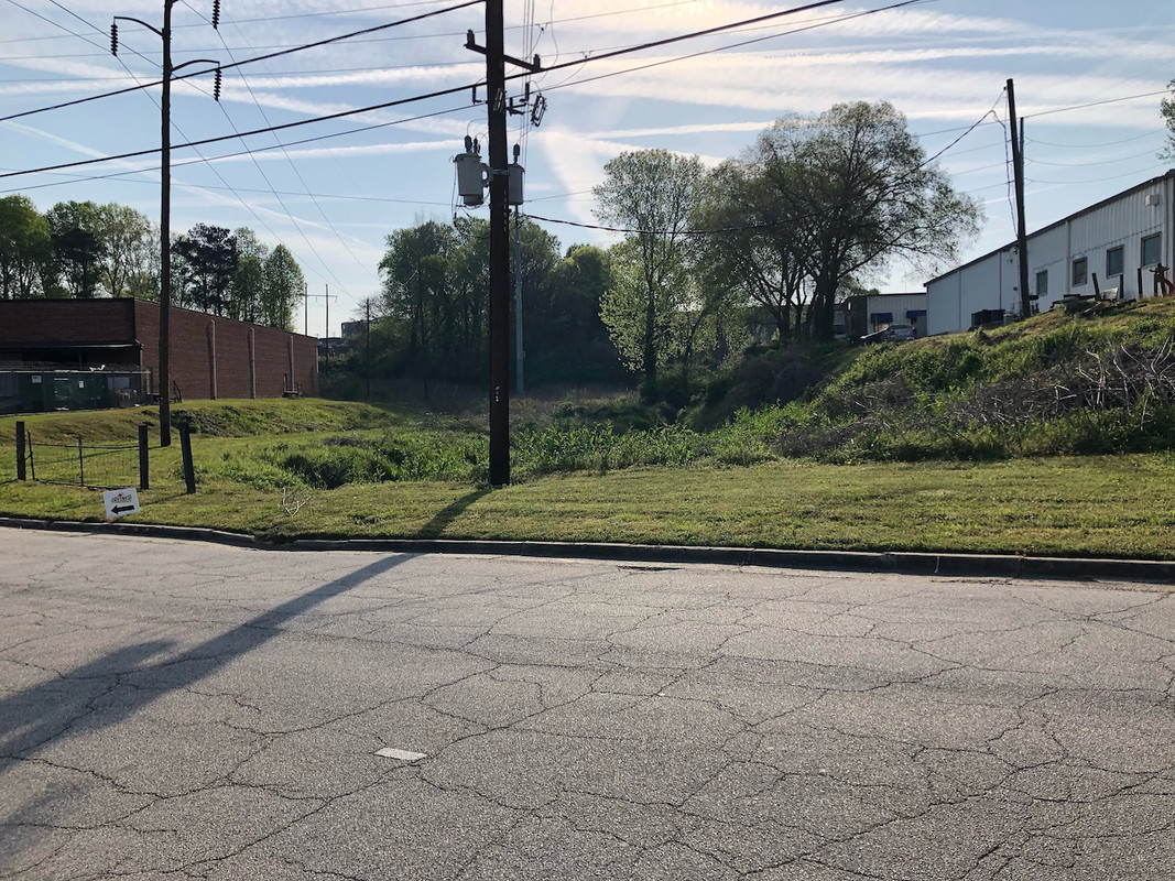
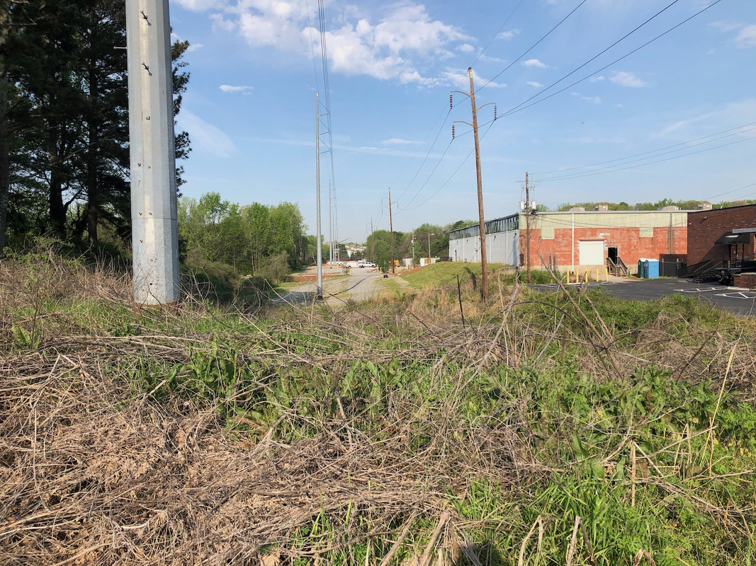
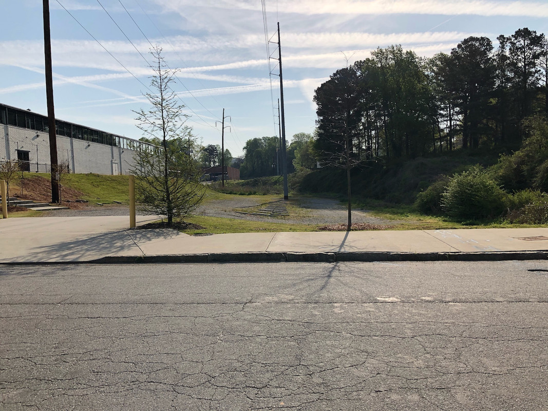
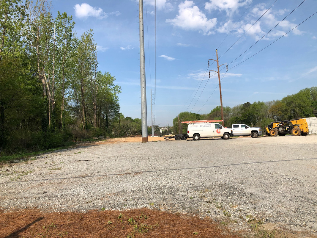
Just for kicks here is the spot where the Beltline (NW) is supposed to pass under I75. Oddly this is just north of a Georgia Tech exclave campus.
Farther west here is the spot on Culpepper St (The Atlantic in background) where it will come through or just to the north (left in pic). LOTS of work to do to even before getting the NW portion NEAR shovel ready.
^Thanks for the pics.
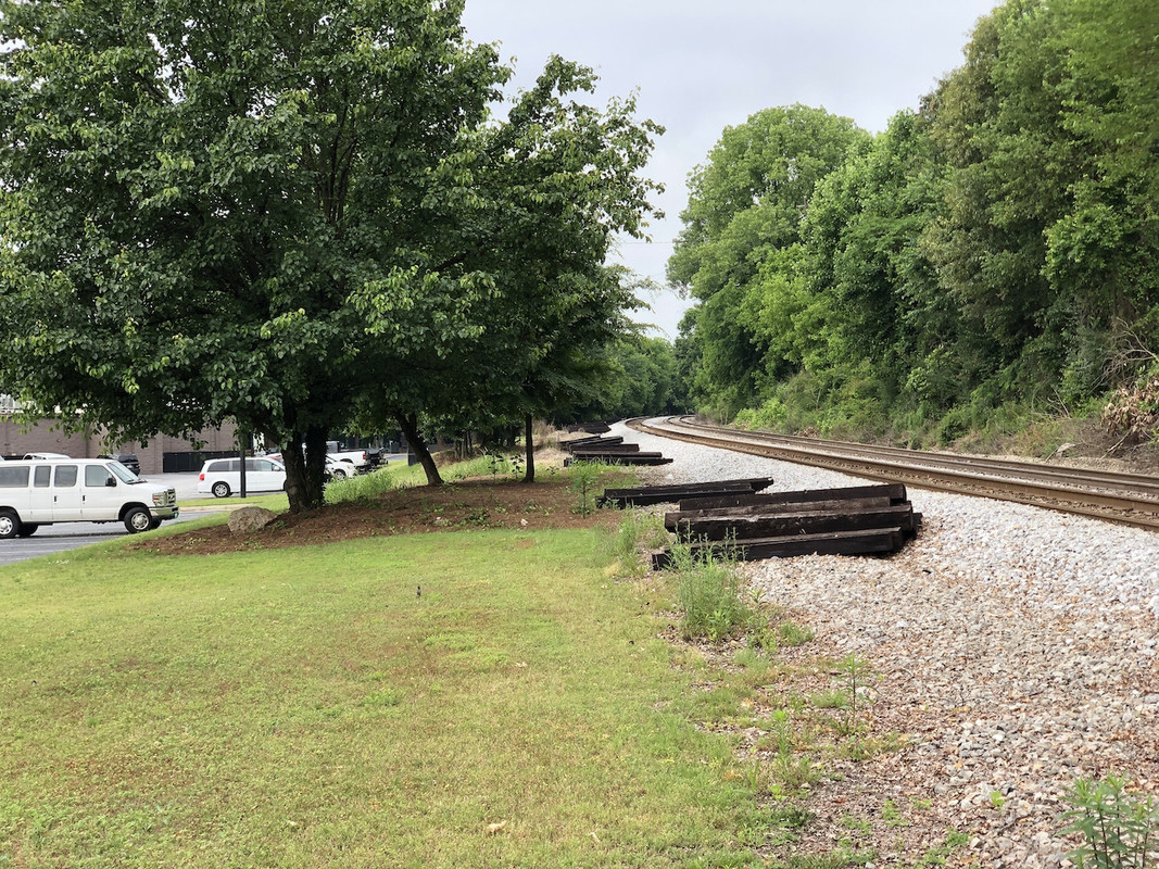
Do you know if that freight rail is still active? It looks well maintained. I wonder how the Beltline will put in trails in areas where rail is still active. This is also a problem where the path for the future trail passes I-85 at Armour Yards. Getting the path, let alone light rail, to Lindbergh will be a challenge.
^Thanks for the pics.
Do you know if that freight rail is still active? It looks well maintained. I wonder how the Beltline will put in trails in areas where rail is still active. This is also a problem where the path for the future trail passes I-85 at Armour Yards. Getting the path, let alone light rail, to Lindbergh will be a challenge.
Assuming this is freight line that goes under 75 and north behind Piedmont Hospital, yes, it's still active. It's the same rail line that has the awesome wood bridge that goes over the Northwest Trail. This section of the Beltline is not likely to be built anytime soon, even with the new funding from the SSD.
Here are a few pics from this morning showing where the Beltline will run once it passes City of Atlanta Watershed. There is actually a lot of residential construction happening there.
Yea but after your kids reroof the house for the 2ed time.
The Beltline announced today that they are officially partnering with the PATH foundation on the Northwest Trail. PATH will fund fund the planning study and handle procurement, which will free up more of ABI's funding for construction of this 4.4 mile segment.
Checked out the NE segment. Brief, but great. Wish there was an easier/more way to get to Armour yards than current state.
Sure you can go up Mayson than back west or east on Armour to refreshments and food, but that’s basically an additional half mile to a mile one direction added on whatever trip you’re on.
Checked out the NE segment. Brief, but great. Wish there was an easier/more way to get to Armour yards than current state.
Sure you can go up Mayson than back west or east on Armour to refreshments and food, but that’s basically an additional half mile to a mile one direction added on whatever trip you’re on.
So it is complete over Spring Buford Connecter/under I85 and ending at Mayson St?
EDIT: Also am I seeing correctly and this entire area is only accessible south UNDER I85 and NO connection to the north/east/west?
The paved trail stops south of the Buford Spring Connector. North of it you can access via Mayson. It’s southern most section is parallel to around where Publix is at Ansley Mall, just north of the wooden bridge along the interim trail/the driving range by Clear Creek.
Yeah there are a lot of access points to the trail, that’s effectively its southern most point that connects directly with Piedmont Park. It’s not paved along the BeltLine in either direction from that point.





 Prev
Prev







 Linear Mode
