HomeDiagramsDatabaseMapsForum About
     

Go Back   SkyscraperPage Forum > Regional Sections > Canada


Closed Thread

 
Thread Tools Display Modes
     
     
  #7801  
Old Posted Aug 16, 2019, 7:17 PM
TorontoDrew's Avatar
TorontoDrew TorontoDrew is offline
Registered User
 
Join Date: Nov 2014
Posts: 10,656
Quote:
Originally Posted by Airboy View Post
14 days is pushing it a bit.

But your choice of highway 40 through Alberta is good. The swing up Highway 93 through Banff to Jasper before hitting Highway 40 is a good choice.

Book your camp grounds as early as you can. The mountain section in Albert tends to sell out.

As for North to Yukon, should be clear sailing anytime. There are some long sections but some nice spots to stop along the route up to Whitehorse.

As for you American section. The wife and I did it a few years back. the Wyoming section can be quite boring. But Devils tower ad mount Rushmore are worth the stops. Also hit up the Geronimo carving. We also stopped at Little Big Horn and Wall drugs.

Try to plan and Get to Skagway on a day the Cruise ships are not in. Usually a Sunday.


Thanks for the tips. Skagway is not a necessity just a want to say we hit Alaska. Also a few days we will push through the night and take shifts so we can spend a bit more time in interesting locations. And thanks, I will alter the route slightly south to check out Chief crazy Horse.
     
     
  #7802  
Old Posted Aug 16, 2019, 9:23 PM
Airboy Airboy is offline
Registered User
 
Join Date: Sep 2008
Location: Edmonton/St Albert
Posts: 9,759
Quote:
Originally Posted by TorontoDrew View Post
Thanks for the tips. Skagway is not a necessity just a want to say we hit Alaska. Also a few days we will push through the night and take shifts so we can spend a bit more time in interesting locations. And thanks, I will alter the route slightly south to check out Chief crazy Horse.
Wyoming Drive fast through that and the Dakotas.

As side trip to Haines Junction is worth it. You are on the perimeter of some of the tallest mountains on the continent.
__________________
Why complain about the weather? Its always going to be here. You on the other hand will not.
     
     
  #7803  
Old Posted Aug 16, 2019, 10:16 PM
Bellinghamgreg Bellinghamgreg is offline
Registered User
 
Join Date: Oct 2018
Posts: 17
Wyoming can have some boring sections but I lived there for a couple of years and can vouch that there are some great/ scenic drives as well.

Just rode highway 3 from Creston to Hope last week on our motorcycles - absolutely beautiful drive with little traffic...my buddies from Bellingham loved it.
     
     
  #7804  
Old Posted Aug 16, 2019, 10:53 PM
Denscity Denscity is offline
Registered User
 
Join Date: Jun 2008
Location: Laramidia
Posts: 12,765
Quote:
Originally Posted by Bellinghamgreg View Post
Wyoming can have some boring sections but I lived there for a couple of years and can vouch that there are some great/ scenic drives as well.

Just rode highway 3 from Creston to Hope last week on our motorcycles - absolutely beautiful drive with little traffic...my buddies from Bellingham loved it.
I live along that highway ya it's a beauty drive!
__________________
Peak SSP:

28C is hotter than 42C
Vancouver is not on the ocean but Quebec City is.
     
     
  #7805  
Old Posted Aug 16, 2019, 11:23 PM
Bellinghamgreg Bellinghamgreg is offline
Registered User
 
Join Date: Oct 2018
Posts: 17
Quote:
Originally Posted by Denscity View Post
I live along that highway ya it's a beauty drive!
Next time it will be highway 6 - Creston to Nelson and onward to Vernon...doubt I can go wrong with that route either.
     
     
  #7806  
Old Posted Aug 16, 2019, 11:53 PM
Denscity Denscity is offline
Registered User
 
Join Date: Jun 2008
Location: Laramidia
Posts: 12,765
Ya highway 6 is nice n curvy once you cross Arriw Lakes.
__________________
Peak SSP:

28C is hotter than 42C
Vancouver is not on the ocean but Quebec City is.
     
     
  #7807  
Old Posted Aug 24, 2019, 12:59 PM
SignalHillHiker's Avatar
SignalHillHiker SignalHillHiker is offline
I ♣ Baby Seals
 
Join Date: Jul 2012
Location: Sin Jaaawnz, Newf'nland
Posts: 36,258
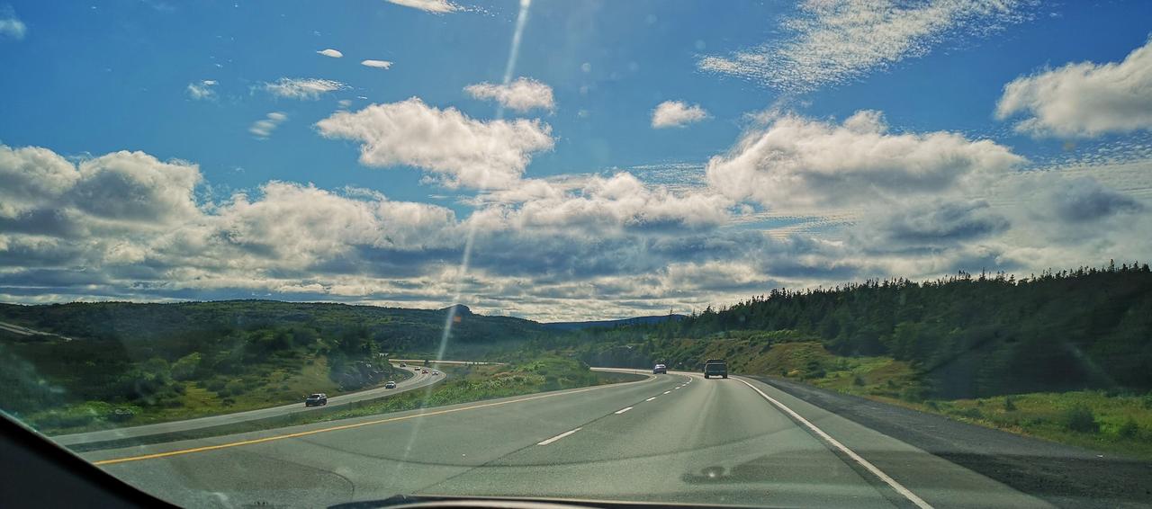
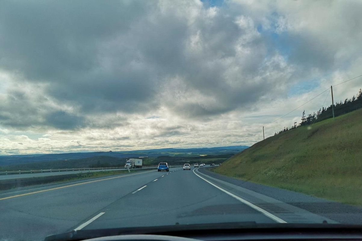
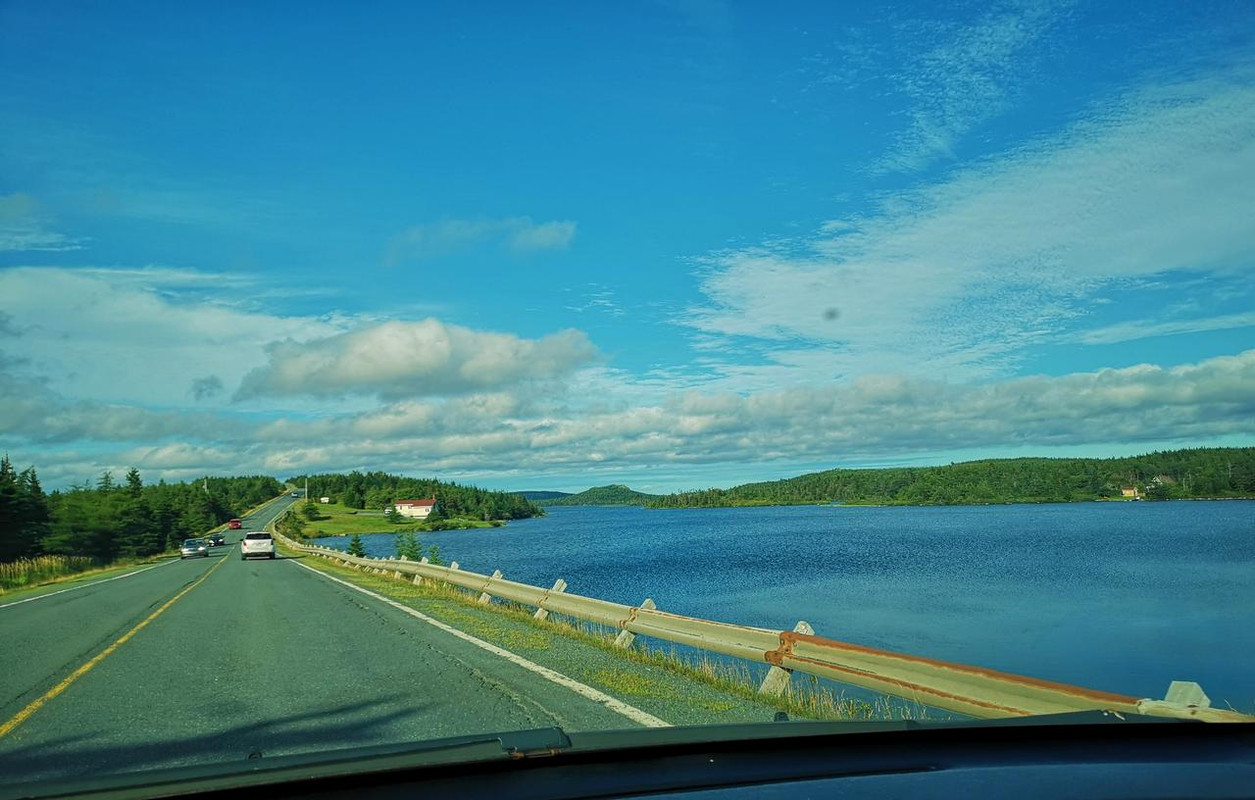
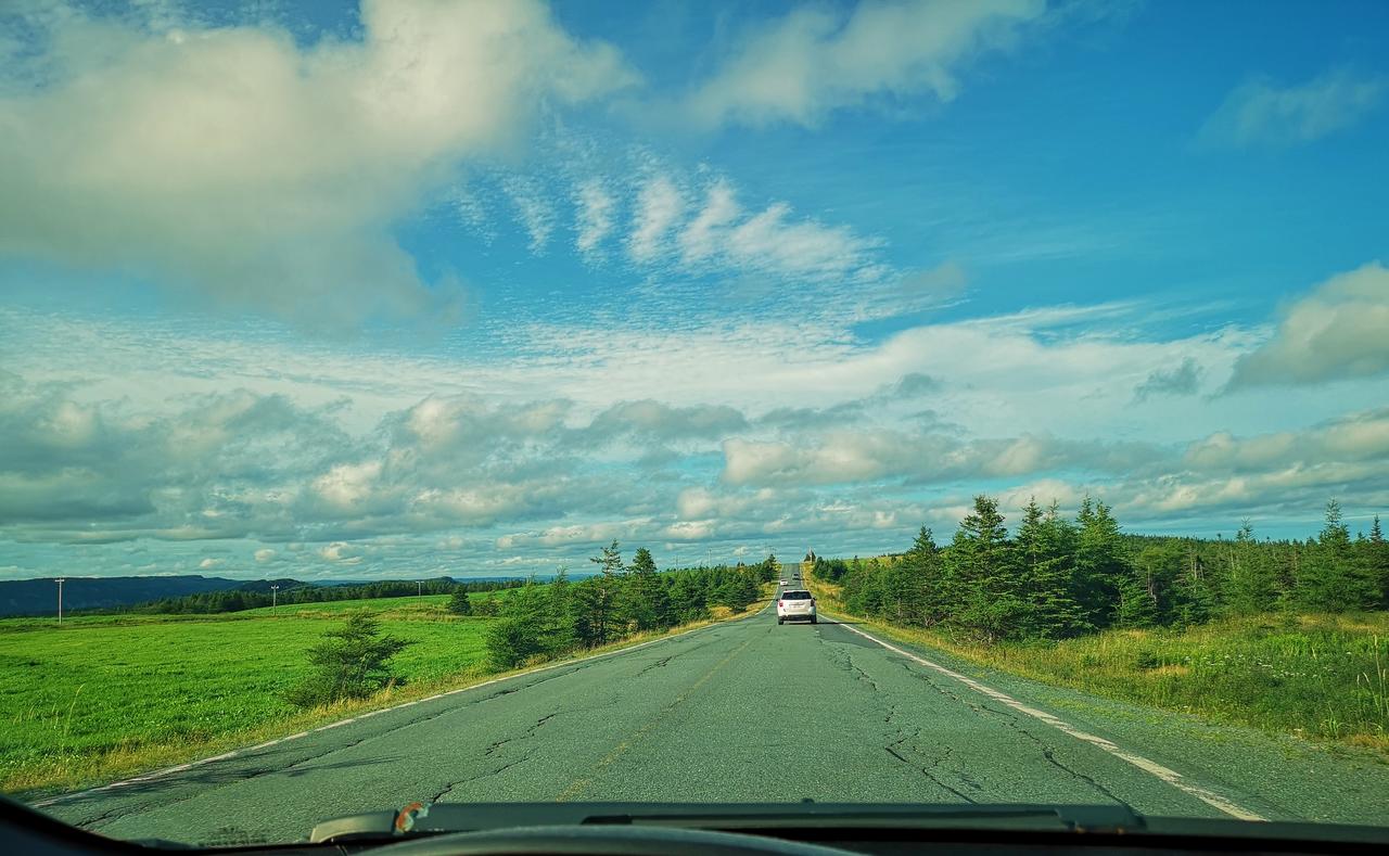
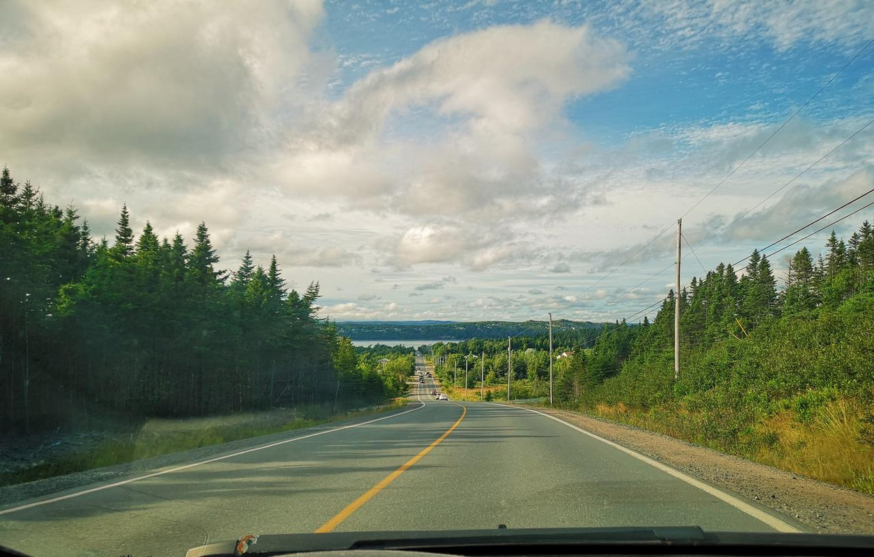
Driving out Roaches Line yesterday...

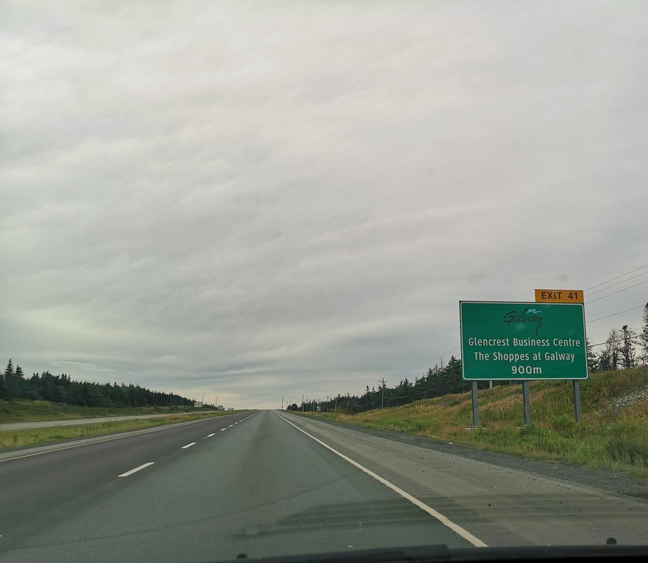
TCH:


Roaches Line...


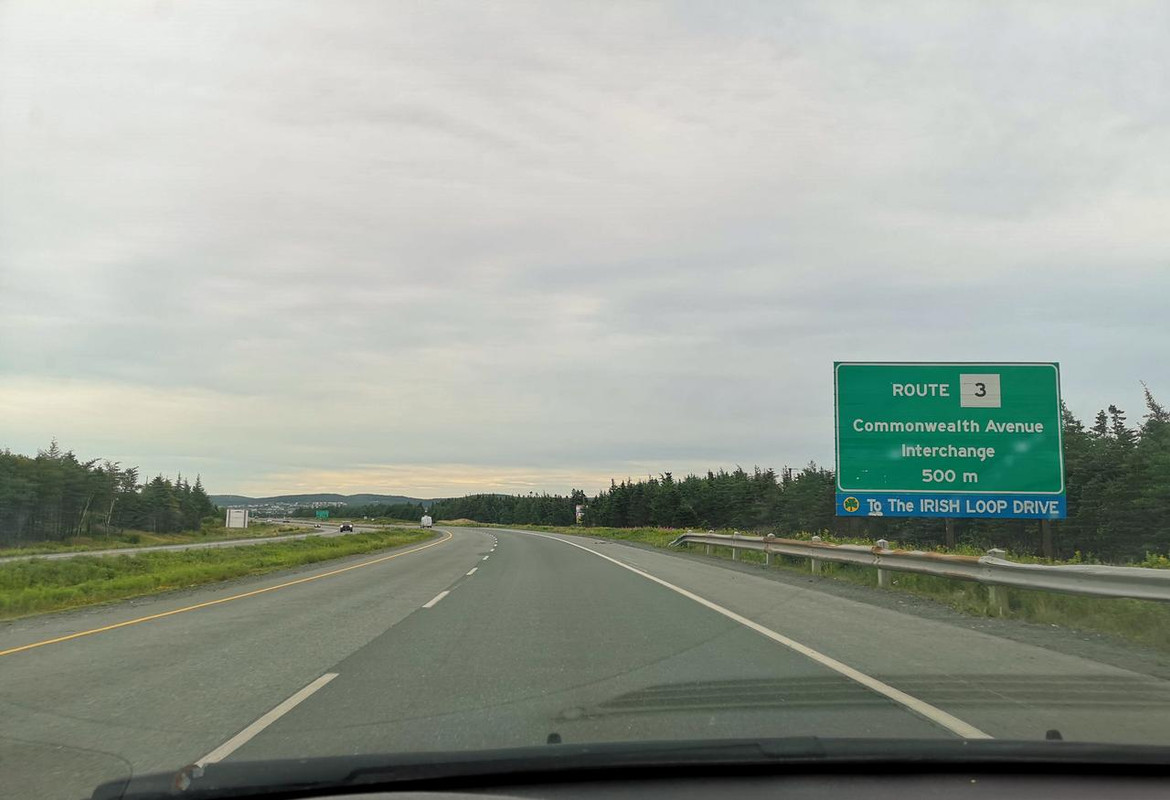
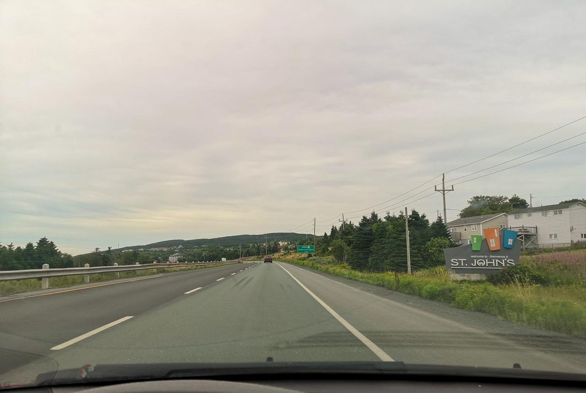
Driving back into St. John's this morning...

TCH:


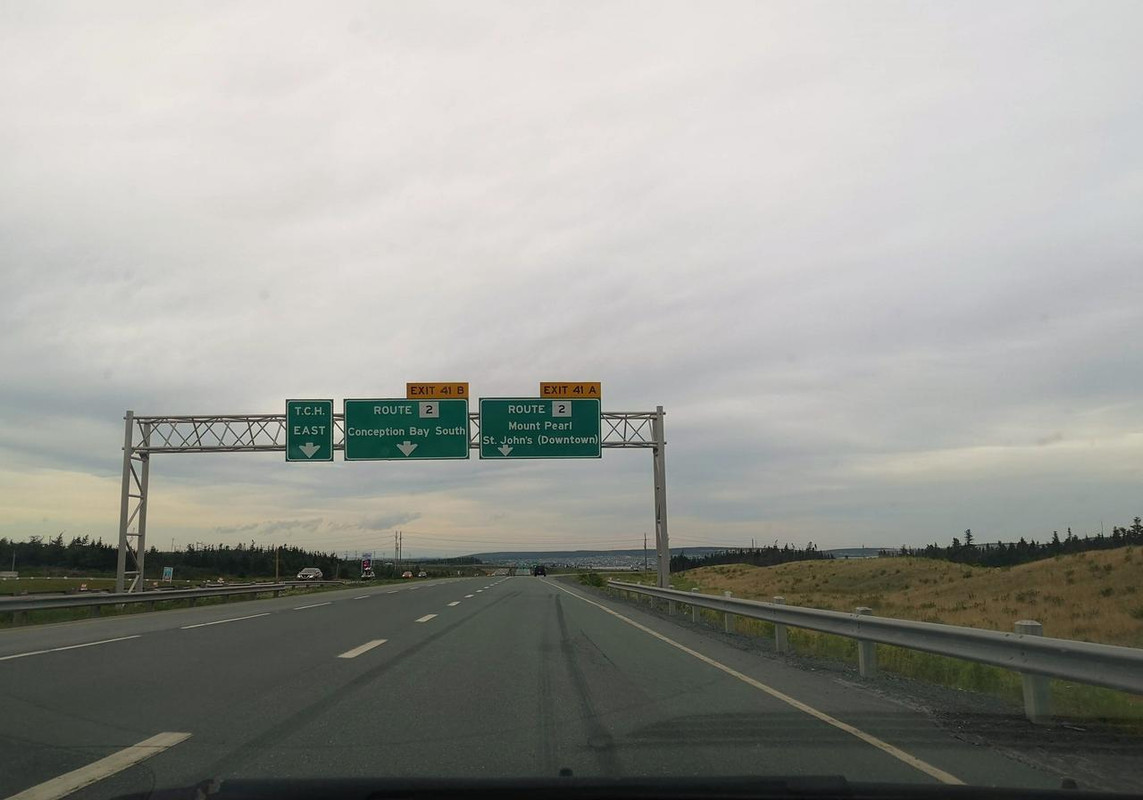
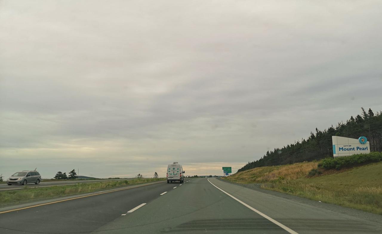
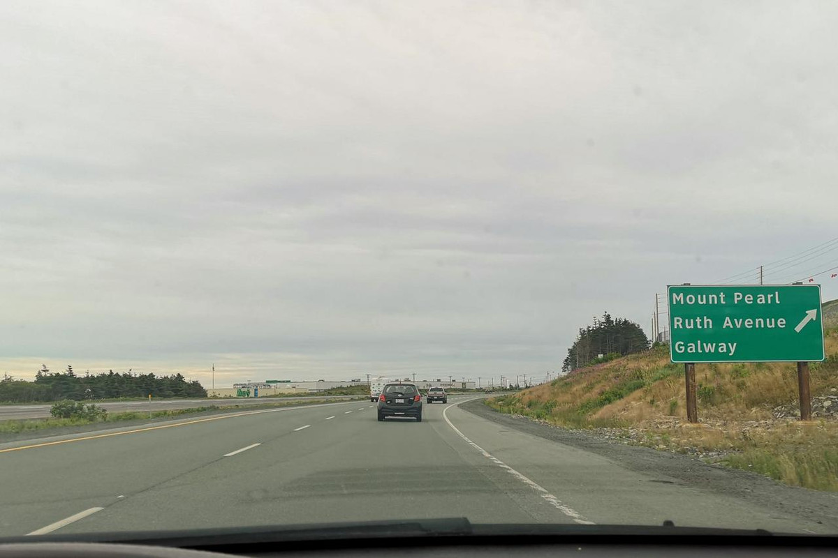
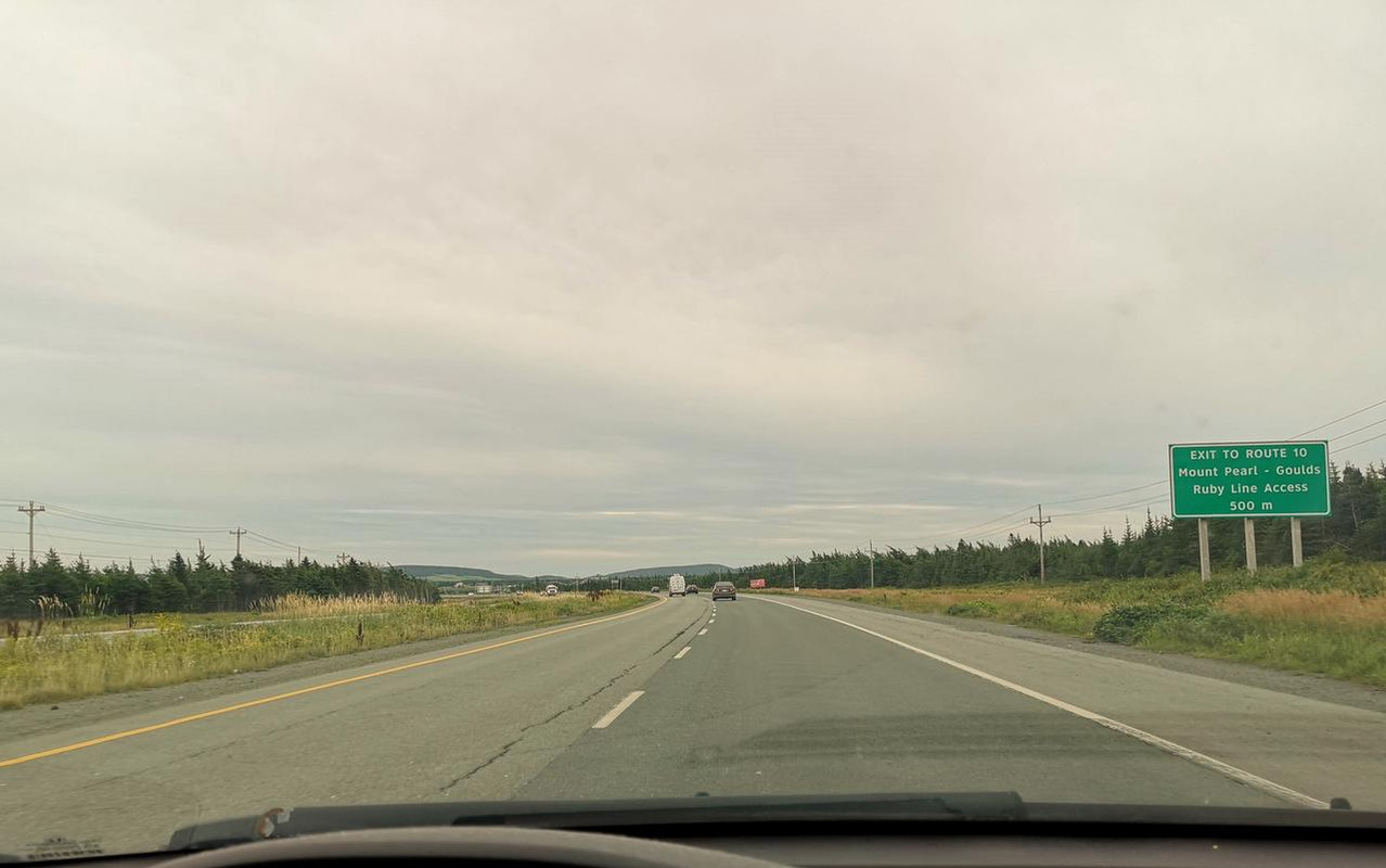
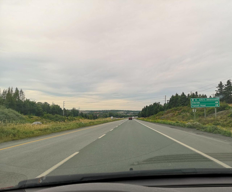
Exit onto Pitts Memorial. Paradise on the left, Mount Pearl on the right:


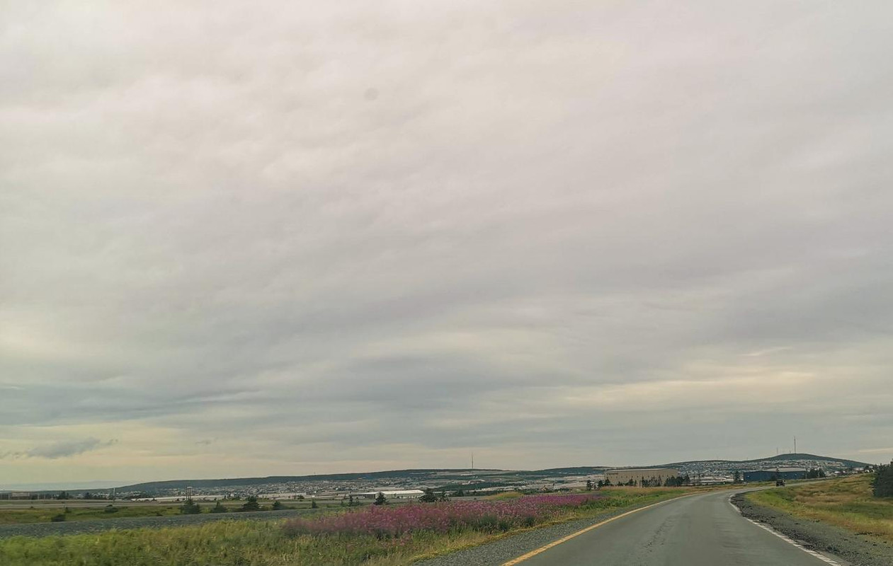
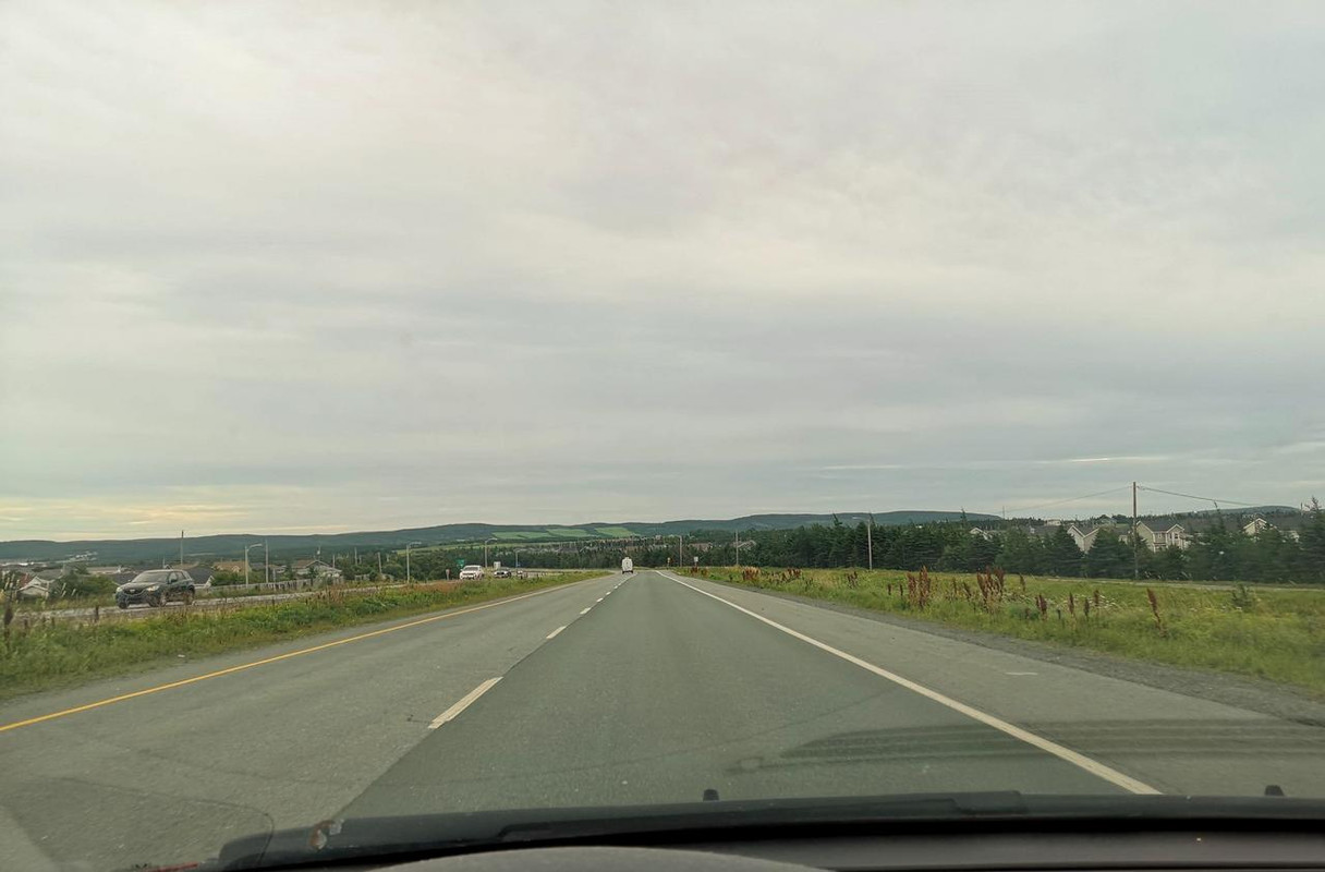
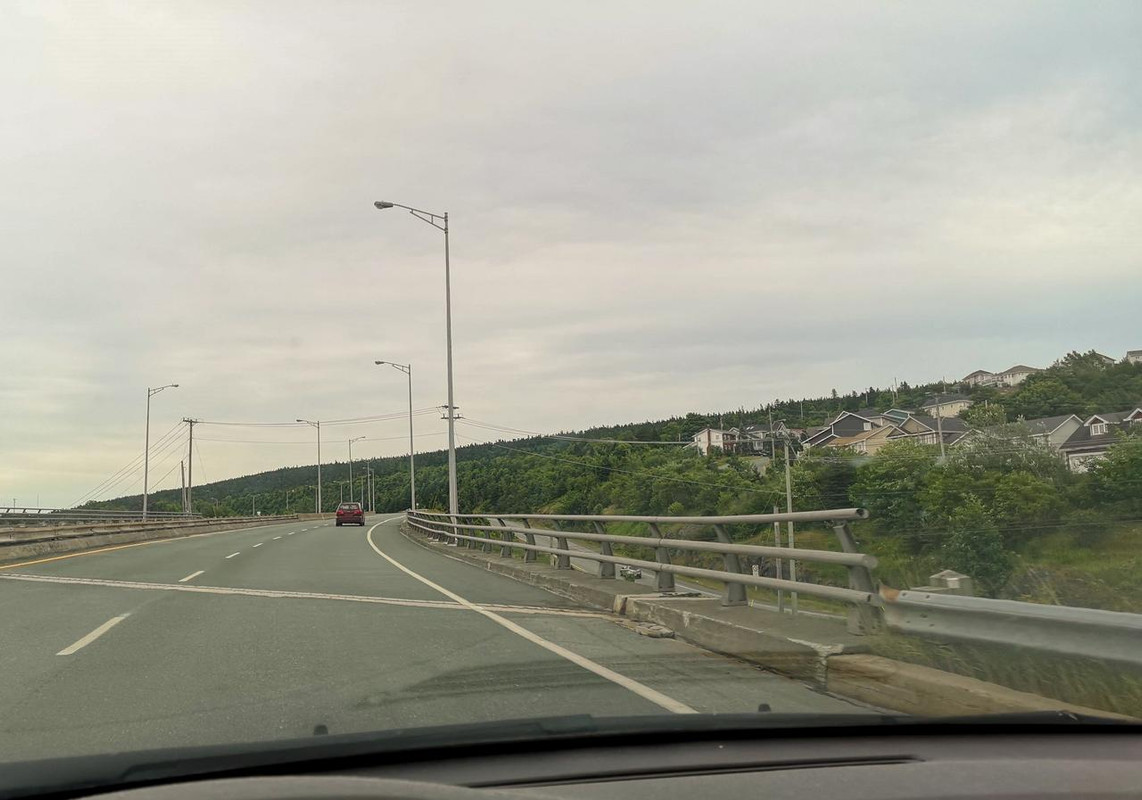
Pitts Memorial around Mount Pearl. It's technically St. John's on the right side but there's nothing out there other than Goulds, Galway, Southlands, and Kilbride...


Rounding the corner now to head pretty much straight north into St. John's proper.


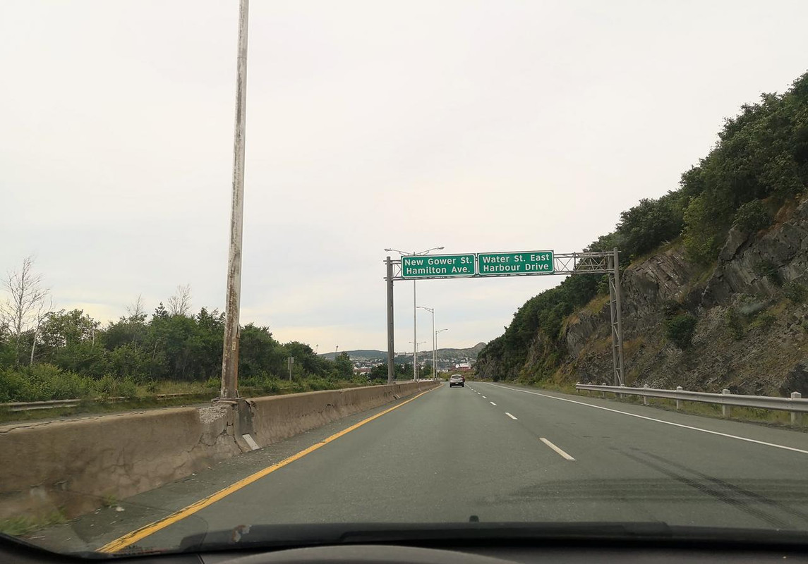
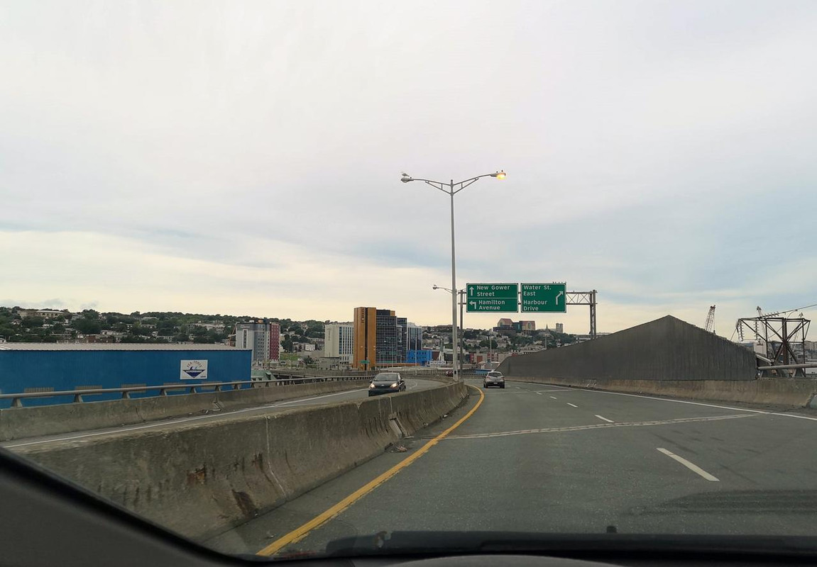
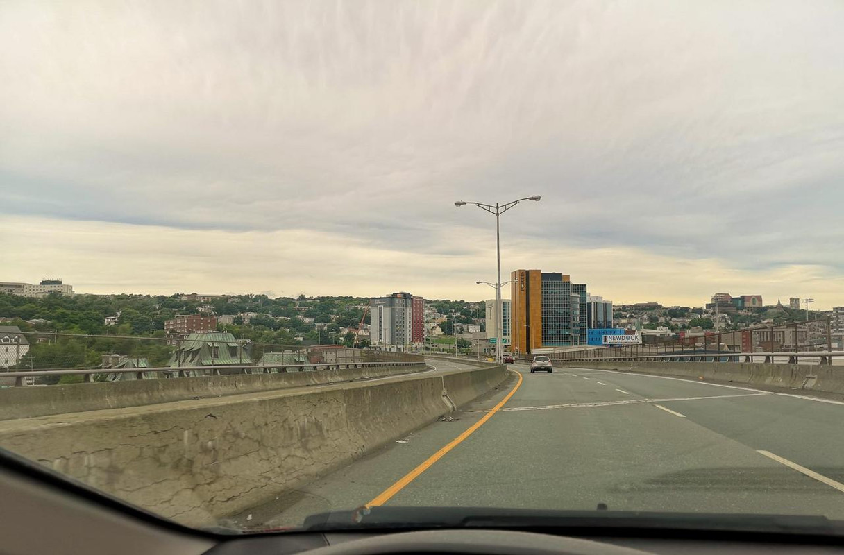
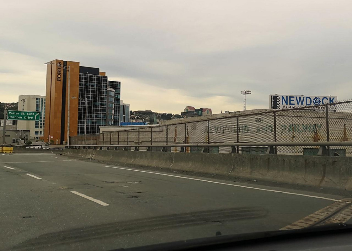
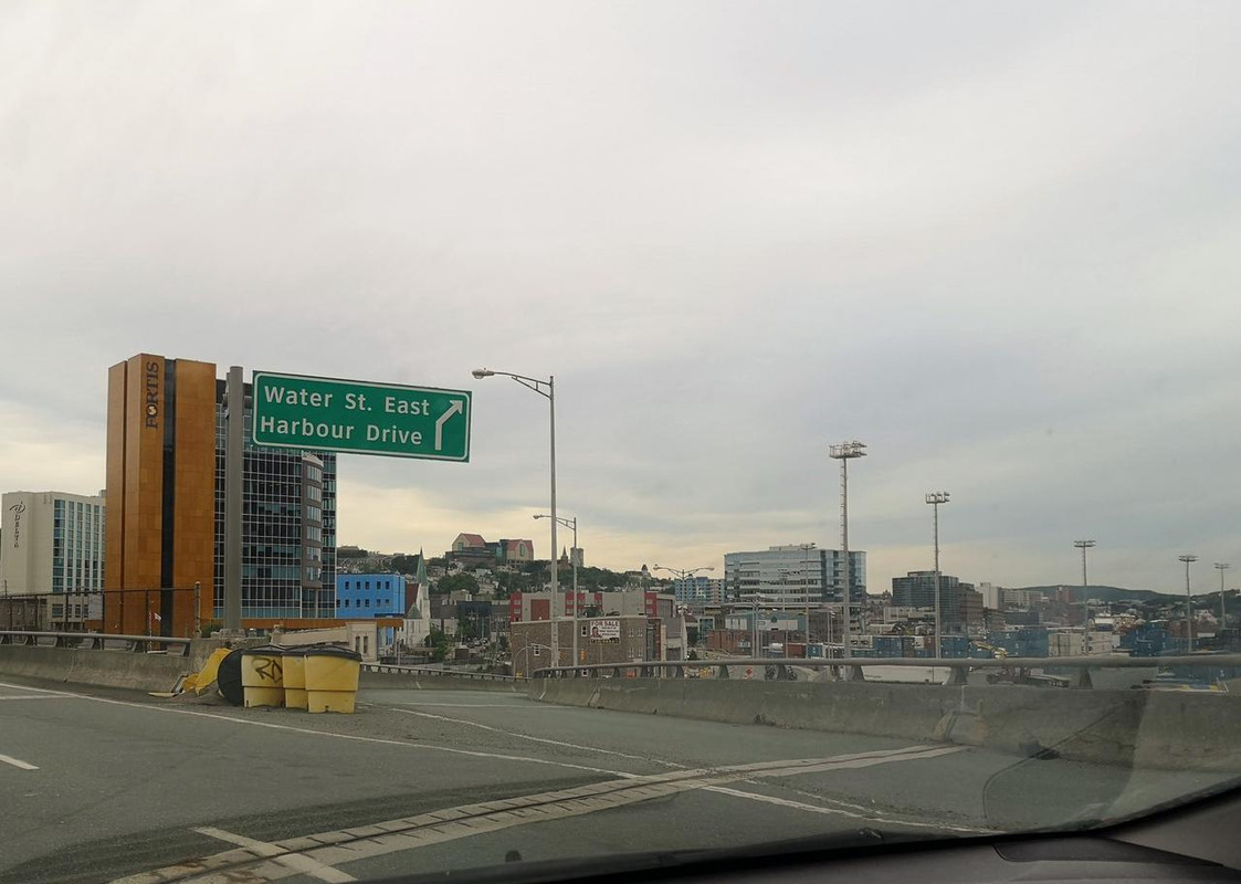
Entering downtown...


__________________
Note to self: "The plural of anecdote is not evidence."
     
     
  #7808  
Old Posted Aug 26, 2019, 1:58 AM
Dengler Avenue's Avatar
Dengler Avenue Dengler Avenue is offline
Road Engineer Wannabe
 
Join Date: Sep 2017
Location: Côté Ouest de la Rivière des Outaouais
Posts: 8,668
A petition about Newfoundland’s highway is gaining traction.

https://apple.news/AoJoNQuX8QFu7hjHBWpfXEQ
__________________
My Proposal of TCH Twinning in Northern Ontario
Disclaimer: Most of it is pure pie in the sky, so there's no need to be up in the arm about it.
     
     
  #7809  
Old Posted Aug 27, 2019, 11:32 PM
wave46 wave46 is offline
Closed account
 
Join Date: Aug 2016
Posts: 3,875
That highway through St. John's' downtown feels so out of place.

You expect a city like Toronto or Montreal to have something like that, not there.
     
     
  #7810  
Old Posted Aug 27, 2019, 11:47 PM
SignalHillHiker's Avatar
SignalHillHiker SignalHillHiker is offline
I ♣ Baby Seals
 
Join Date: Jul 2012
Location: Sin Jaaawnz, Newf'nland
Posts: 36,258
It doesn't really go through, just to.

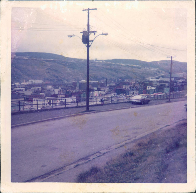
But that's only these days, of course. It destroyed a big chunk of the Downtown West End. Basically everything in this photo except the church and a couple of other half-blocks of stone buildings:

Quote:
Originally Posted by SignalHillHiker View Post
And one from those rarely-photographed in-between periods. The Central Slum (surrounding photographer) is already gone, but the Downtown West End (buildings at centre) still exist. Almost all of them were later demolished for highway off-ramps.

__________________
Note to self: "The plural of anecdote is not evidence."
     
     
  #7811  
Old Posted Aug 28, 2019, 12:36 AM
wave46 wave46 is offline
Closed account
 
Join Date: Aug 2016
Posts: 3,875
Quote:
Originally Posted by SignalHillHiker View Post
It doesn't really go through, just to.

But that's only these days, of course. It destroyed a big chunk of the Downtown West End. Basically everything in this photo except the church and a couple of other half-blocks of stone buildings:
The last couple of pics where it sort of passes over the Newfoundland Railway Station, the houses down below and the towers in the background reminds me of being on the Gardiner Expressway - it just gives the vibe of a much bigger city.

I'm not sure if the cost of the loss of neighbourhoods was worth it, but it's just a quick impression I get from it.
     
     
  #7812  
Old Posted Aug 28, 2019, 12:43 AM
VANRIDERFAN's Avatar
VANRIDERFAN VANRIDERFAN is offline
Registered User
 
Join Date: Jan 2007
Location: Regina
Posts: 5,467
Quote:
Originally Posted by Bellinghamgreg View Post
Wyoming can have some boring sections but I lived there for a couple of years and can vouch that there are some great/ scenic drives as well.

Just rode highway 3 from Creston to Hope last week on our motorcycles - absolutely beautiful drive with little traffic...my buddies from Bellingham loved it.
The highway from Casper to the East Gate of Yellowstone is interesting.
     
     
  #7813  
Old Posted Aug 28, 2019, 2:08 AM
Corndogger Corndogger is offline
Registered User
 
Join Date: Sep 2007
Location: Calgary
Posts: 7,727
Quote:
Originally Posted by Dengler Avenue View Post
A petition about Newfoundland’s highway is gaining traction.

https://apple.news/AoJoNQuX8QFu7hjHBWpfXEQ
Contractors don't have the ability to put in rumble strips? That seems like a pretty basic safety feature to me.
     
     
  #7814  
Old Posted Aug 28, 2019, 2:19 AM
Corndogger Corndogger is offline
Registered User
 
Join Date: Sep 2007
Location: Calgary
Posts: 7,727
Quote:
Originally Posted by wave46 View Post
That highway through St. John's' downtown feels so out of place.

You expect a city like Toronto or Montreal to have something like that, not there.
Nothing special looking about that highway other than it looks like it's about to fall down.
     
     
  #7815  
Old Posted Aug 28, 2019, 2:23 AM
GreaterMontréal's Avatar
GreaterMontréal GreaterMontréal is offline
Registered User
 
Join Date: Dec 2013
Posts: 4,628
Quote:
Originally Posted by wave46 View Post
That highway through St. John's' downtown feels so out of place.

You expect a city like Toronto or Montreal to have something like that, not there.
looks more like the Van Horne boulevard
     
     
  #7816  
Old Posted Aug 28, 2019, 2:42 AM
milomilo milomilo is offline
Registered User
 
Join Date: Dec 2013
Location: Calgary
Posts: 10,498
St John's really should have brought the freeway right to the dock. The situation now, with frequent semis carrying loads of chemicals, drill pipe and other oilfield equipment down the old street network is thoroughly sub optimal.

Outside of the centre though, Newfoundland's roads are actually great, often being built as 'super twos' with grade separations, which is better than the, uh, crappy fours we have in Alberta.
     
     
  #7817  
Old Posted Aug 28, 2019, 4:25 AM
alps's Avatar
alps alps is offline
Registered User
 
Join Date: Sep 2006
Location: Hong Kong
Posts: 1,574
New LIDAR image of the sinkhole belt at Oxford, NS, through which Highway 104 (the Trans-Canada Highway) runs:


MP fears sinkhole could one day impact Highway 104

Quote:
The Liberal MP for Cumberland-Colchester wants to know if conditions that created the sinkhole in Oxford exist around Highway 104.

This after preliminary results of an imaging survey made public last week appears to show a well-defined belt of sinkholes in the area, extending for about 5 kms.

Bill Casey says the Trans-Canada Highway goes right through the middle of the sinkhole belt.

Casey has asked provincial Transportation Minister Lloyd Hines and federal Transport Minister Marc Garneau to help expand the study to include the highway.

"There are over 100 sinkholes in this ridge and the highway goes right though the middle," he tells NEWS 95.7's The Rick Howe Show. "I don't know what the risk is, but the consequences would be horrific if something happened. If it opened up like it did in Oxford, it would be a catastrophe."

Casey says he's not trying to be alarmist, but with Highway 104 being a major transportation corridor in the Maritimes, we need to know what we're dealing with.
     
     
  #7818  
Old Posted Aug 28, 2019, 11:58 AM
Dengler Avenue's Avatar
Dengler Avenue Dengler Avenue is offline
Road Engineer Wannabe
 
Join Date: Sep 2017
Location: Côté Ouest de la Rivière des Outaouais
Posts: 8,668
...

First the isthmus, now this.
__________________
My Proposal of TCH Twinning in Northern Ontario
Disclaimer: Most of it is pure pie in the sky, so there's no need to be up in the arm about it.
     
     
  #7819  
Old Posted Aug 28, 2019, 1:05 PM
MonctonRad's Avatar
MonctonRad MonctonRad is online now
Wildcats Rule!!
 
Join Date: Jun 2008
Location: Moncton NB
Posts: 40,942
Quote:
Originally Posted by Dengler Avenue View Post
...

First the isthmus, now this.
Indeed.

That map of the sinkholes WRT the TCH at Oxford is truly frightening. It makes you wonder if they shouldn't be actively reconsidering realigning the road around Oxford.

But you're quite right, the other risk to the TCH at the Isthmus of Chignecto is equally as frightening. The current dykes protecting the Tantramar Marsh at the isthmus are very old, increasingly fragile, and at increasing risk of getting overtopped by flooding events. This almost happened once a couple of years ago during a storm and the only thing protecting the TCH from getting flooded (or washed out) was the CN Rail embankment (which wasn't really designed as being a flood control structure when it was built). It was a near catastrophe.

The TCH at the Tantramar Marsh is really the only practical route from Nova Scotia (and Newfoundland) to the ROC. If it were ever to wash out in a major flood, it would cripple the Maritime economy.

And meanwhile the governments do nothing, choosing instead to gaze at their navels and blame each other as to whose responsibility it would be to pay for a fix.
__________________
Go 'Cats Go

Last edited by MonctonRad; Aug 28, 2019 at 1:56 PM.
     
     
  #7820  
Old Posted Aug 28, 2019, 1:47 PM
SignalHillHiker's Avatar
SignalHillHiker SignalHillHiker is offline
I ♣ Baby Seals
 
Join Date: Jul 2012
Location: Sin Jaaawnz, Newf'nland
Posts: 36,258
That isthmus seems so wide to me. It's fascinating how areas of such low elevation are vulnerable across such a huge area. Sea levels would have to rise enough to completely overtop PEI in order to cut the Avalon off over our isthmus.
__________________
Note to self: "The plural of anecdote is not evidence."
     
     
This discussion thread continues

Use the page links to the lower-right to go to the next page for additional posts
 
 
Closed Thread

Go Back   SkyscraperPage Forum > Regional Sections > Canada
Forum Jump


Forum Jump


All times are GMT. The time now is 9:59 PM.

     
SkyscraperPage.com - Privacy Statement - Top

Powered by vBulletin® Version 3.8.7
Copyright ©2000 - 2026, vBulletin Solutions, Inc.