Quote:
Originally Posted by Beaudry

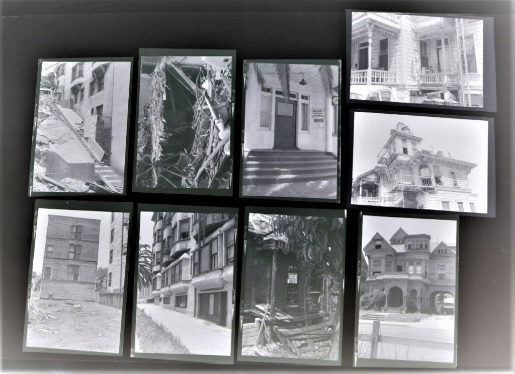
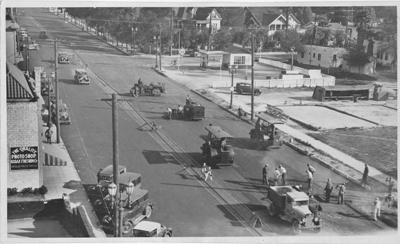
Bottom row, far left, the back of something that fronts onto...somewhere. After I get it and look at it with a loupe I'll find some clue I'm sure.
|
Right, well, that's what I said, so here I am back again.
The image in question:

A-ha, what's this:

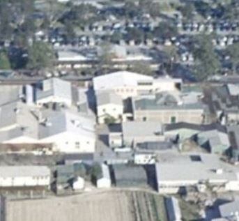
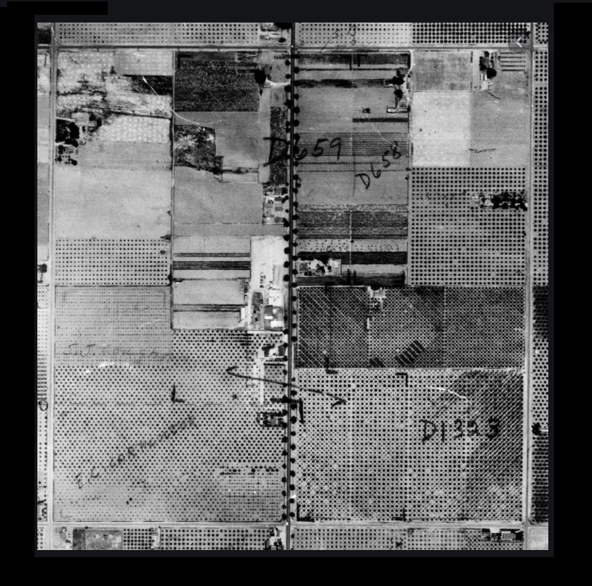
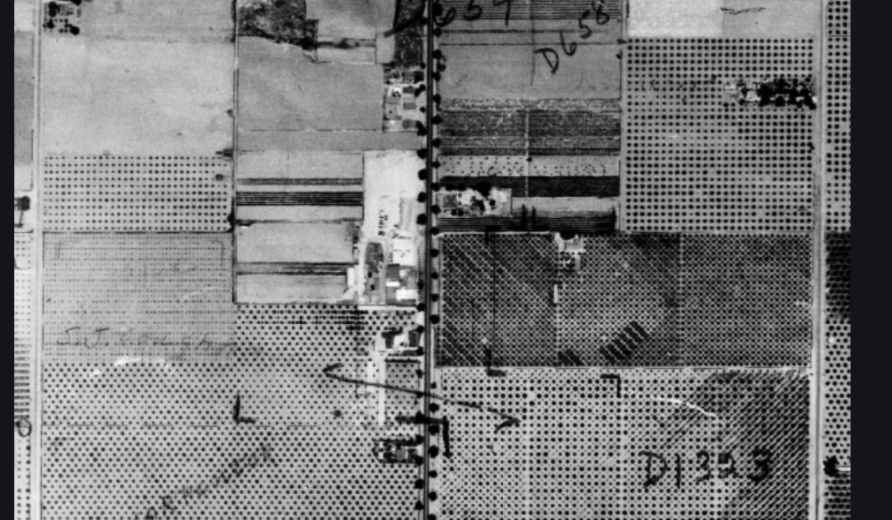
Let's consult the
world's greatest map:

Lookit that, it's 217 South Bunker Hill Avenue.
Ergo:

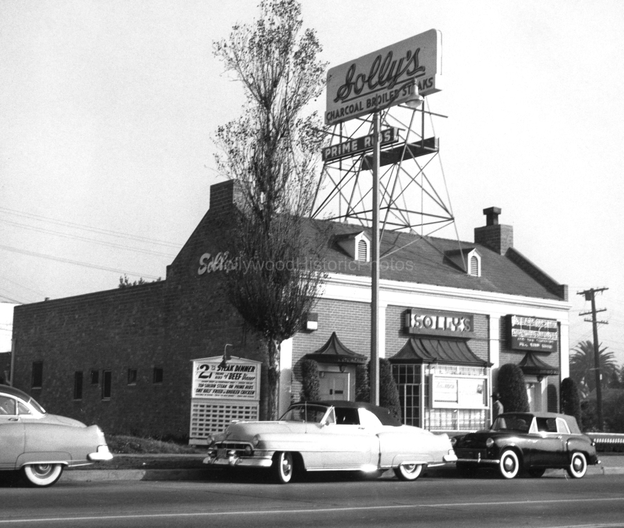
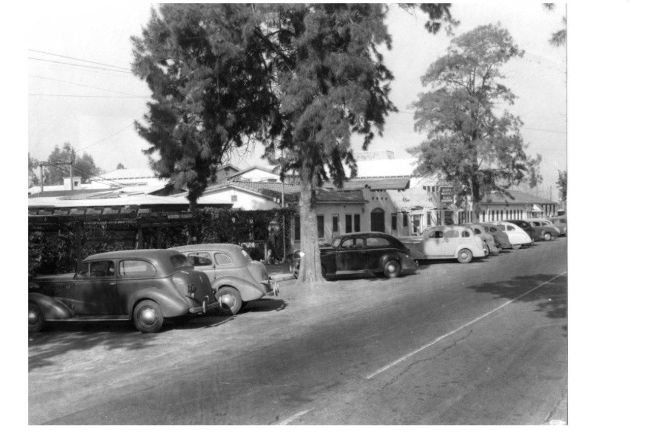
The image looks across the very back stucco corner of the
Dome to the rear end of 212 South Bunker Hill Avenue. Which, by the way, looked like this:

In our image, 215 South Grand and 216 South Bunker Hill are gone, which both had demo permits issued in February 1963, so I amend my original speculation about these shots being taken soon after the Hill Crest demo of late 1961...


 Prev
Prev


 Excellent find, Martin Pal.
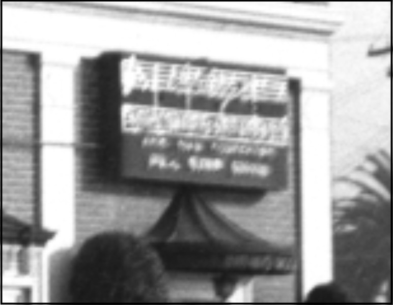


 Linear Mode
